Off-Road Trails in Colorado

Discover off-road trails in Colorado

Learn more about Chicken Creek Road
Chicken Creek Road

Chicken Creek Road

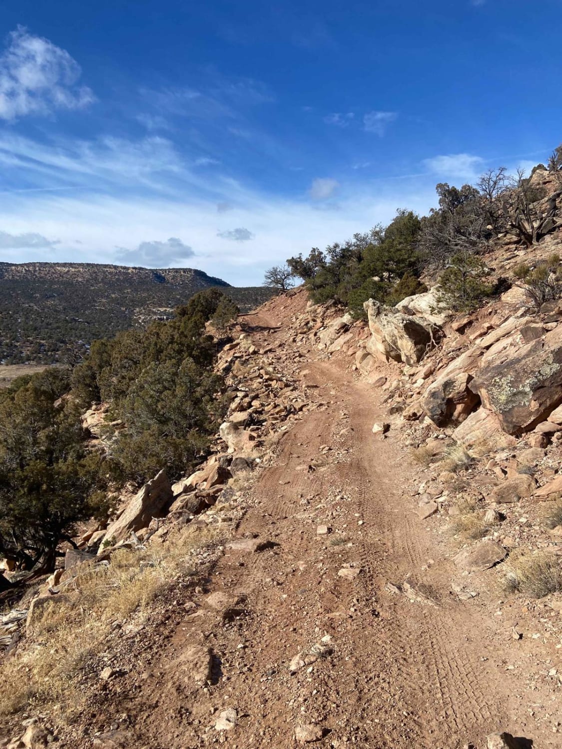
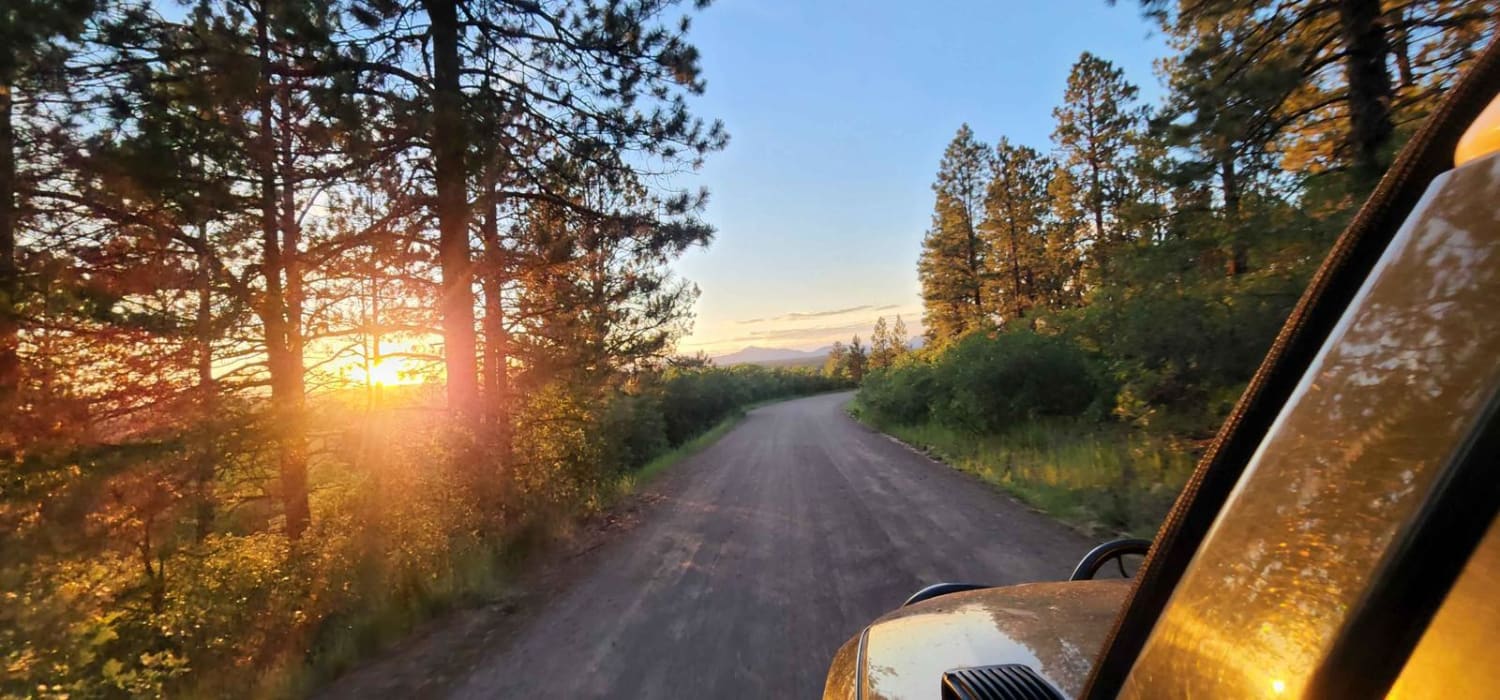
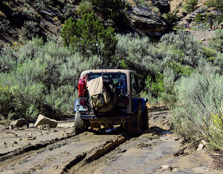
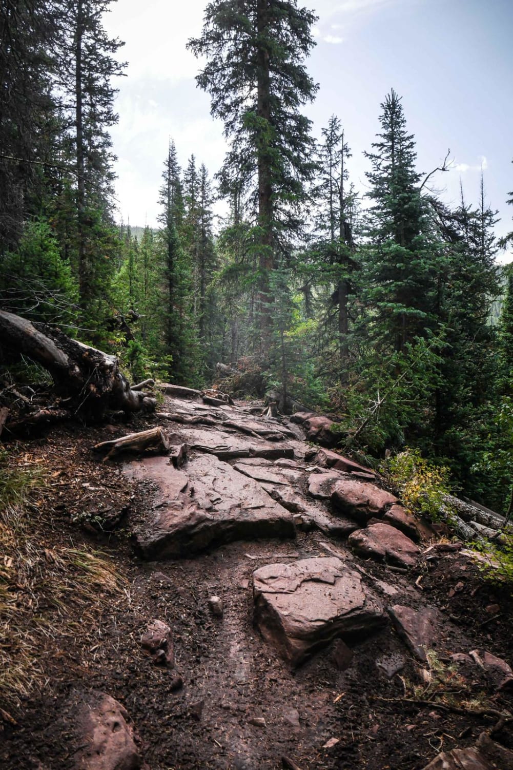
Rocky road in some spots, nothing to difficult though, easily done with a high clearance rig, muddy when wet. Dirt or rocky road, typically unmaintained after rain or snow. You may encounter shallow water crossings…
Learn more about Chicken Creek Road
Total Miles
8.4
Tech Rating
2 Easy
Best Time
Spring, Summer, Fall
Learn more about Chicken Creek Trail
Chicken Creek Trail

Chicken Creek Trail

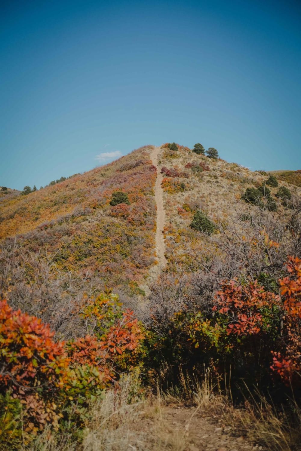
Chicken Creek is a fun trail that goes through beautiful aspen groves in the San Juan National Forest near Mancos, Colorado. The trail is a decent width with gradual curves and gradual switchbacks, making it…
Learn more about Chicken Creek Trail
Total Miles
2.0
Tech Rating
4 Moderate
Best Time
Summer
Learn more about Chihuahua Gulch
Chihuahua Gulch

Chihuahua Gulch

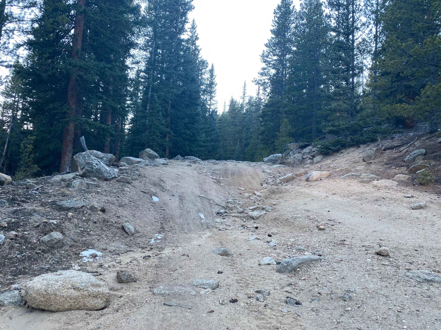
Grays and Torreys peaks tower above this short trail at 14,000 feet. Hikers often use the road to reach the trailhead. Stay on the trail and be considerate. Trail is closed from November 23 to…
Learn more about Chihuahua Gulch
Total Miles
2.1
Tech Rating
5 Difficult
Best Time
Summer, Fall
Learn more about Chimney Rock Road (West Carter Mountain)
Chimney Rock Road (West Carter Mountain)

Chimney Rock Road (West Carter Mountain)

Chimney Rock is a gravel/dirt road that leads to the West Carter Mountain area and a state Game Reserve of the same name. There are unmapped ATV-only roads in the game reserve as well. A…
Learn more about Chimney Rock Road (West Carter Mountain)
Total Miles
10.2
Tech Rating
2 Easy
Best Time
Summer
Learn more about China Wall
China Wall

China Wall

This is a 3 mi out and back with several challenging obstacles. China Wall Trail is closed seasonally from Jan 1st - June 15th. Camping is not allowed on this trail but there are designated…
Learn more about China Wall
Total Miles
3.7
Tech Rating
5 Moderate
Best Time
Fall, Summer
Learn more about Chinns Lake
Chinns Lake

Chinns Lake

Chinns Lake is located in a beautiful narrow valley. Unlicensed vehicles are permitted, but there isn't a staging area. Trail will start out broad, passing through a residential area, but quickly narrows to become a…
Learn more about Chinns Lake
Total Miles
3.7
Tech Rating
4 Moderate
Best Time
Summer, Fall
Learn more about Chipmunk Gulch
Chipmunk Gulch

Chipmunk Gulch

Starting on Country Road 100, you'll head East onto the dirt path. You will then turn onto USFS Road 376. Once you are on the trail, it is pretty calm but you are still going…
Learn more about Chipmunk Gulch
Total Miles
0.7
Tech Rating
3 Easy
Best Time
Summer, Fall
Learn more about Cicada
Cicada

Cicada

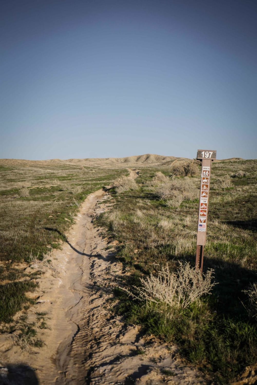
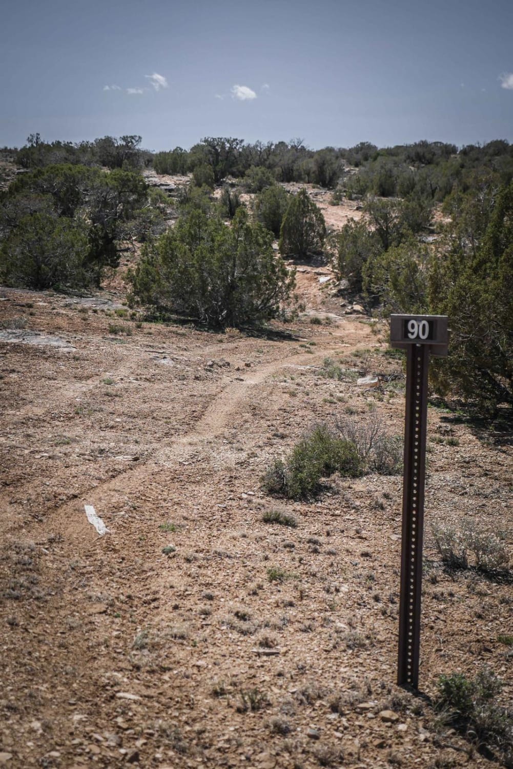
Cicada is a short trail in the North Fruita Desert trail system that is mostly fast and scenic. It winds along several ridge lines in a burn area, through sagebrush, and has 4 or 5…
Learn more about Cicada
Total Miles
3.7
Tech Rating
3 Easy
Best Time
Fall
Learn more about Cimarron Owl Creek Pass
Cimarron Owl Creek Pass

Cimarron Owl Creek Pass

This is a very scenic, pastoral drive down Cimarron Road into the Uncompaghre National Forest. There are many side roads leading to various forks of the Cimarron River, with plentiful dispersed camping sites along the…
Learn more about Cimarron Owl Creek Pass
Total Miles
20.5
Tech Rating
1 Easy
Best Time
Spring, Summer, Fall
Learn more about Cinnamon Pass
Cinnamon Pass

Cinnamon Pass

Enjoy this section of the famous Alpine Loop, which can be combined with the Engineer Pass. Take Wager Gulch up to Carson Ghost Town, and take Cinnamon Pass Road up to American Basin for wildflowers.…
Learn more about Cinnamon Pass
Total Miles
24.2
Tech Rating
3 Easy
Best Time
Summer, Fall
Learn more about Clear Creek
Clear Creek

Clear Creek

Sitting just to the north of the Collegiate Wilderness, this trail offers visitors the opportunity to enjoy great views and see well preserved mining camps. There are plenty of dispersed camping along Clear Creek. There…
Learn more about Clear Creek
Total Miles
11.3
Tech Rating
2 Easy
Best Time
Summer, Fall
Learn more about Cloud City
Cloud City

Cloud City

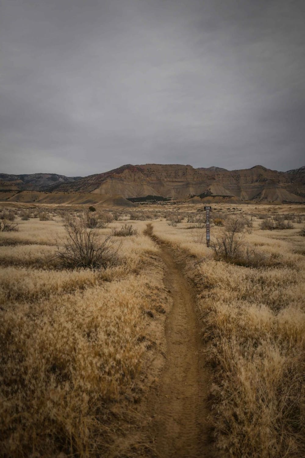
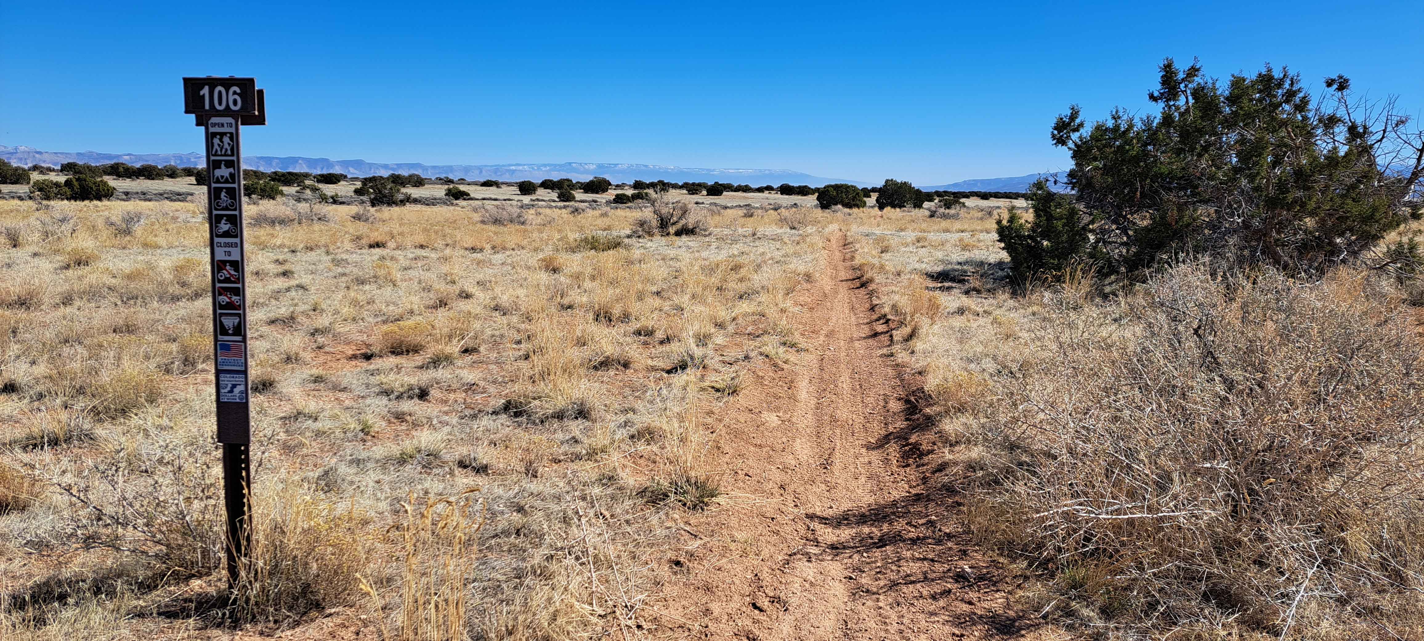
Cloud City is a short trail in the North Fruita Desert that can be ridden as part of a bigger day loop with Cicada, Sky Walker, and Sarlacc. It meanders through low grass in a…
Learn more about Cloud City
Total Miles
2.9
Tech Rating
2 Easy
Best Time
Fall
Learn more about Cloverdale Mine
Cloverdale Mine

Cloverdale Mine

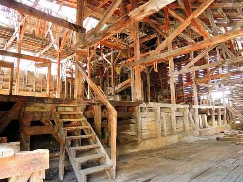
The road to Cloverdale Mine is a fun-filled drive with gorgeous, Rocky Mountain views, a glimpse of the rich mining history of Westcliffe, CO and a couple small spots that will require some technical driving…
Learn more about Cloverdale Mine
Total Miles
7.6
Tech Rating
5 Moderate
Best Time
Summer, Fall
Learn more about Coal Canyon
Coal Canyon

Coal Canyon

Close to Grand Junction, Coal Canyon provides easy access to multi-use recreation. This route begins in a wash and climbs to an overlook of Palisade. The trail continues in the wash, which gets narrower and…
Learn more about Coal Canyon
Total Miles
5.2
Tech Rating
5 Moderate
Best Time
Summer, Fall
Learn more about Coffee Pot Road
Coffee Pot Road

Coffee Pot Road

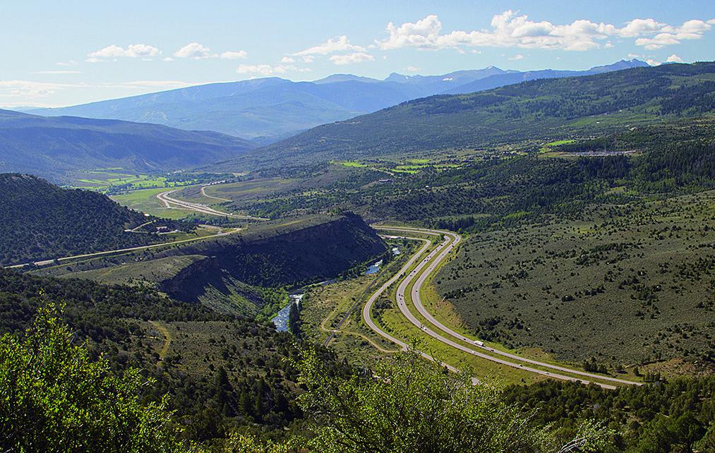
Start your ride with beautiful views of Eagle Valley and the Colorado River and continue into White River National Forest. Dispersed camping allowed inside the forest, and there are a few pay campgrounds. Unlicensed vehicles…
Learn more about Coffee Pot Road
Total Miles
28.1
Tech Rating
2 Easy
Best Time
Summer, Fall
Learn more about Coon Hollow
Coon Hollow

Coon Hollow

Enjoy this relatively quiet trail that starts by crossing washes and travels through a canyon. You will then begin a steep climb up to a ridge with great views of South Shale Ridge and Twin…
Learn more about Coon Hollow
Total Miles
8.6
Tech Rating
8 Difficult
Best Time
Spring, Fall
Learn more about Corkscrew Gulch, Hurricane Pass
Corkscrew Gulch, Hurricane Pass

Corkscrew Gulch, Hurricane Pass

Wind between two peaks of the Red Mountains and enjoy some really beautiful country. Logging trucks are common on the lower portion of the trail. Parking and camping are available at the bottom of the…
Learn more about Corkscrew Gulch, Hurricane Pass
Total Miles
7.1
Tech Rating
3 Moderate
Best Time
Summer, Fall
Learn more about Corral Draw
Corral Draw

Corral Draw

Corral Draw is a narrow singletrack trail that cuts across gorgeous fields of wild flowers. There are a few awkward sloping turns with loose footing but nothing too crazy in relation to all the other…
Learn more about Corral Draw
Total Miles
11.4
Tech Rating
4 Moderate
Best Time
Summer, Fall
Learn more about Countryside Tour
Countryside Tour

Countryside Tour

A very easy tour taking you through the non-alpine area southeast of Buena Vista. This is a good chance to see what the backcountry looks like east of the Collegiate Range. You will pass through…
Learn more about Countryside Tour
Total Miles
116.8
Tech Rating
1 Easy
Best Time
Summer, Fall, Spring
Learn more about County Road 10 to Hurricane Pass
County Road 10 to Hurricane Pass

County Road 10 to Hurricane Pass

County Road 10 is a short narrow trail from the end of City Road 110 and the Sunnyside Mine ruins to Hurricane Pass/Corkscrew Gulch. It is an alternate way to get to the Alpine Loop…
Learn more about County Road 10 to Hurricane Pass
Total Miles
1.4
Tech Rating
2 Easy
Best Time
Spring, Summer, Fall
1 ... 7 8 9 10 11 12 13 14 15 16 ... 42

Go Farther

Try onX Offroad Elite for free for a week — no strings attached. Get access to thousands of off-road dirt trails and snowmobile trails across the nation. View your favorite zones in 3D. Send trails to friends. Start planning the trip of a lifetime now.