BLM Route 5895
Total Miles
1.7
Technical Rating
Best Time
Spring, Summer, Fall, Winter
Trail Type
High-Clearance 4x4 Trail
Accessible By
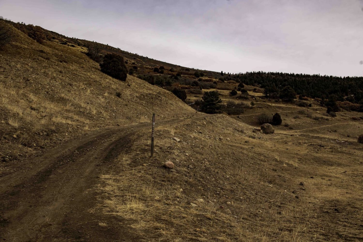
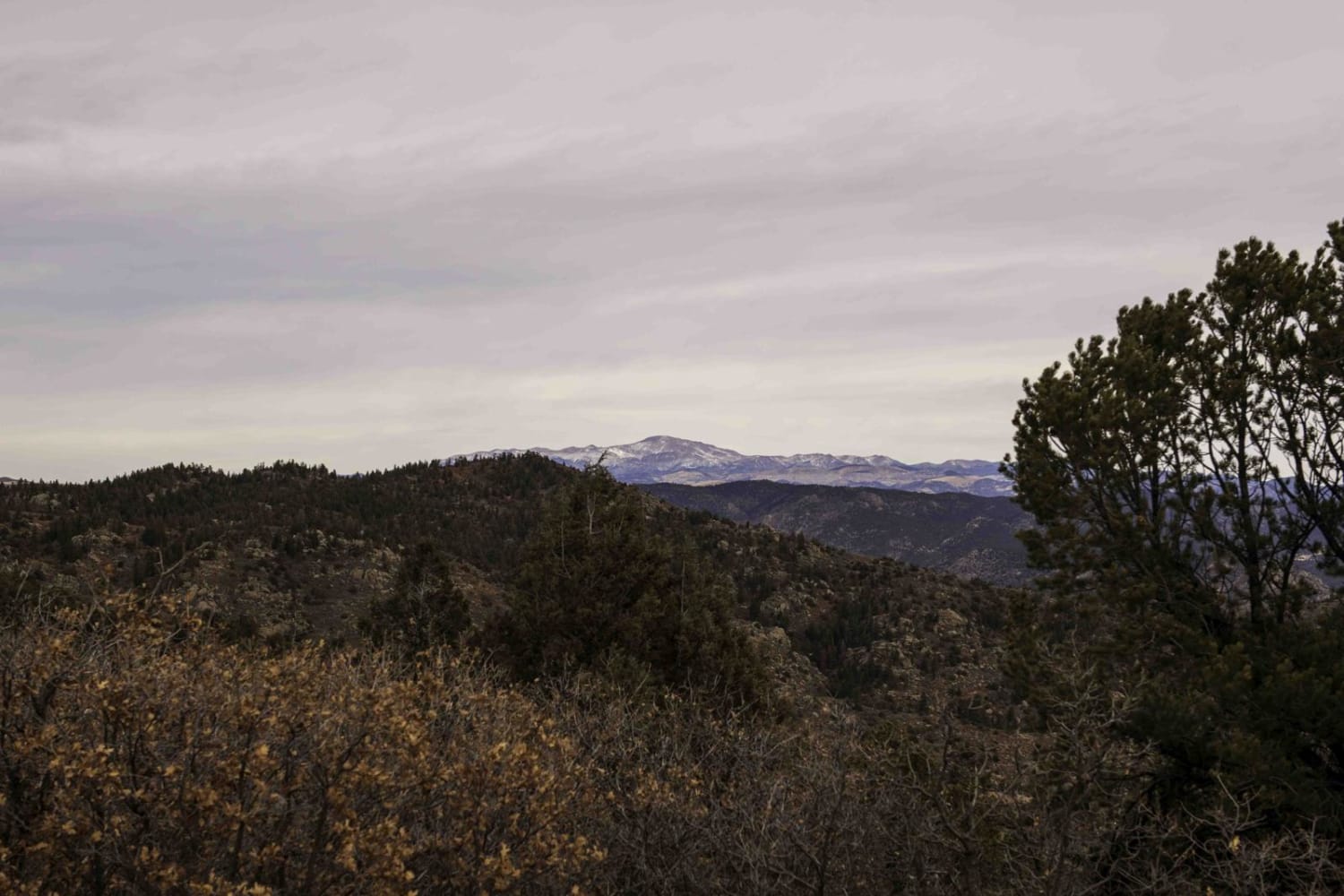
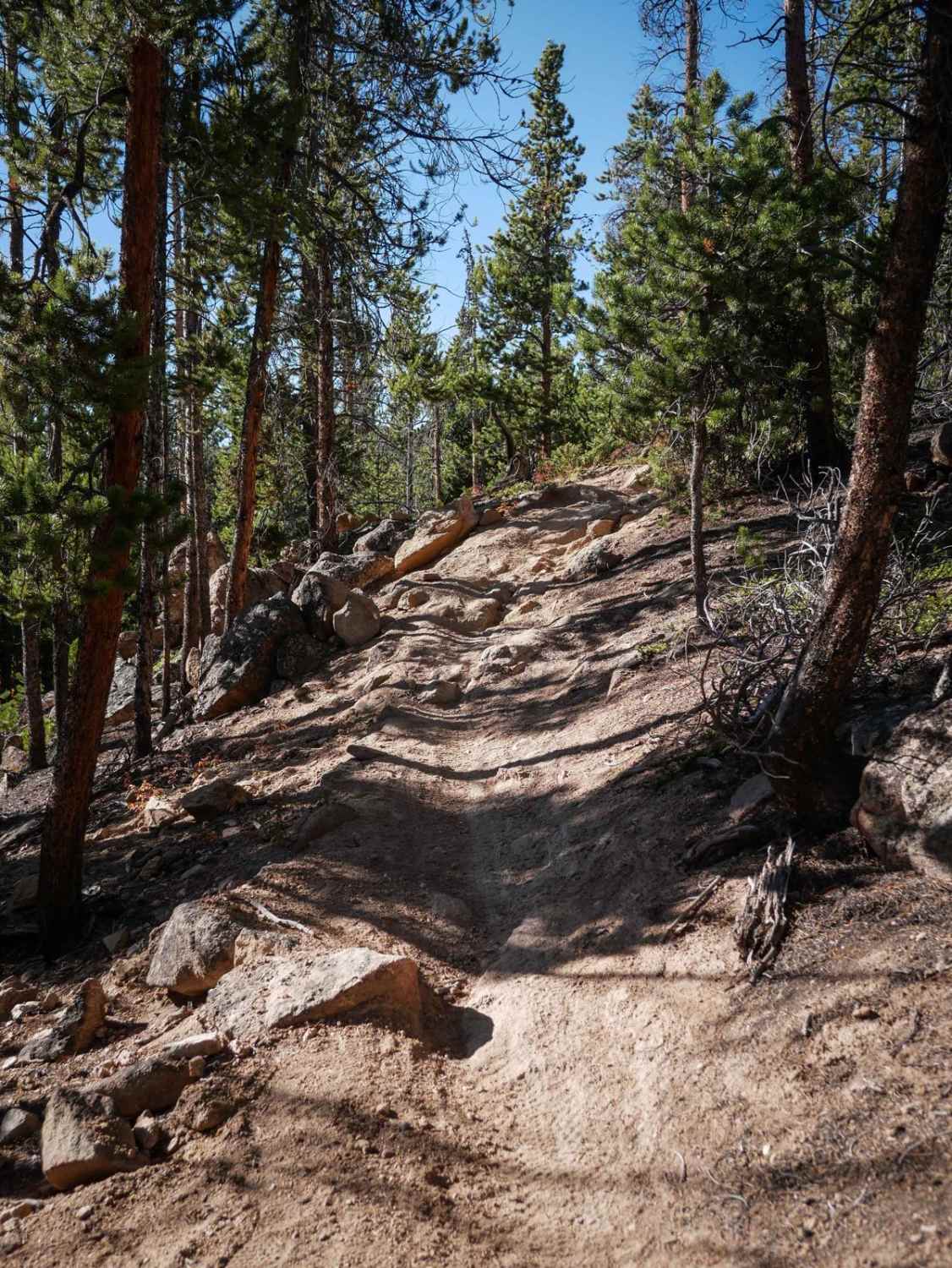
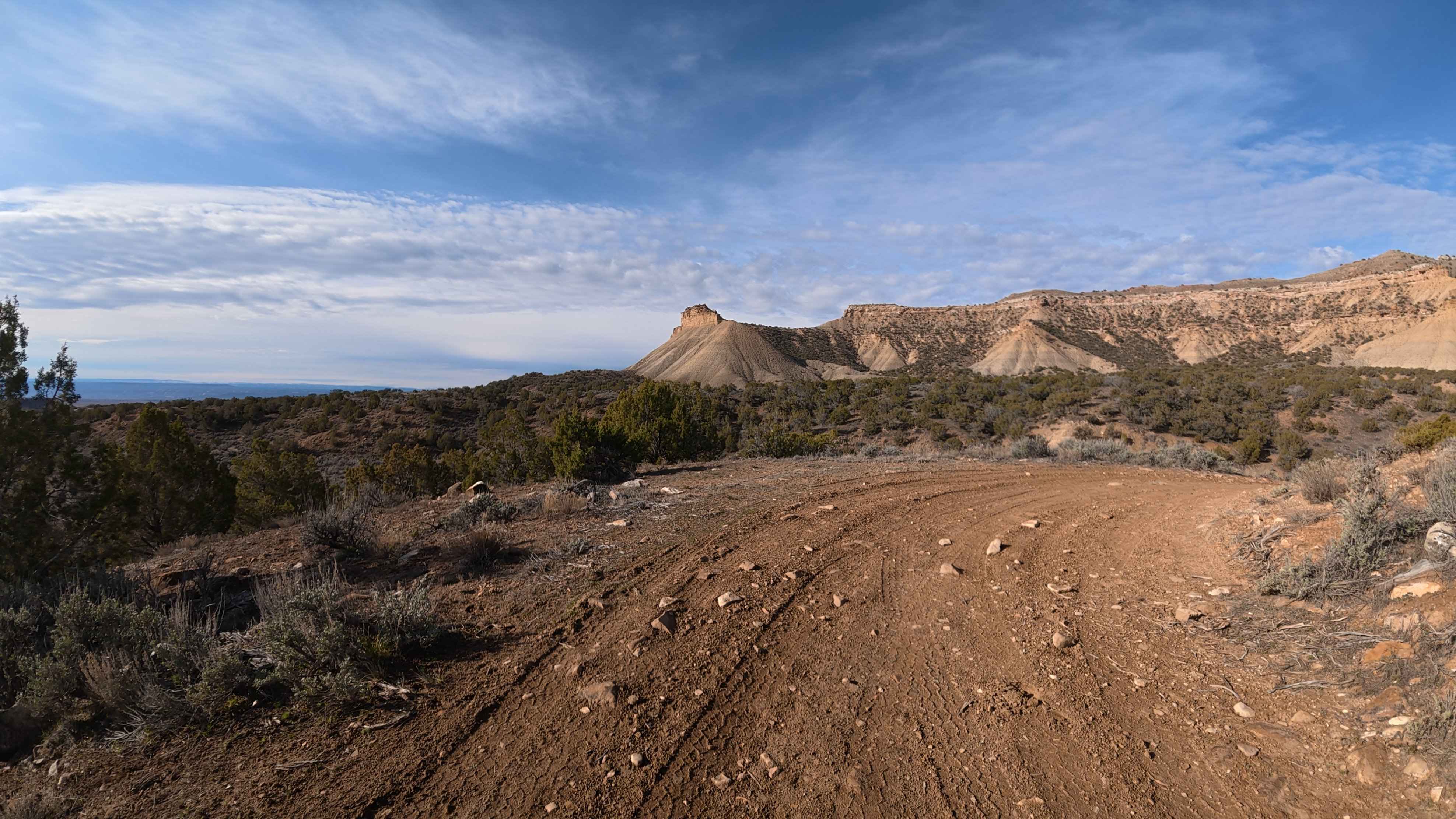
Trail Overview
This road is pretty easy for SUVs to get up to the top of the mountain until you reach the junction of 5895 and 5900. At this point, 5895 gets narrow and rougher. If you don't want to get your vehicle scratched, it is not recommended to go further. The road is also too narrow in places for full-size trucks, as the road goes down through big boulders that are tight for wider vehicles. There are not too many places to pass. You will get cell service once you reach the top. This is an in-and-out trail, private land, and the east end of the trail.
Photos of BLM Route 5895
Difficulty
The trail has a few rocky sections that will require so skill to negotiate.
Status Reports
BLM Route 5895 can be accessed by the following ride types:
- High-Clearance 4x4
- SxS (60")
- ATV (50")
- Dirt Bike
BLM Route 5895 Map
Popular Trails
The onX Offroad Difference
onX Offroad combines trail photos, descriptions, difficulty ratings, width restrictions, seasonality, and more in a user-friendly interface. Available on all devices, with offline access and full compatibility with CarPlay and Android Auto. Discover what you’re missing today!