BLM Route 80
Total Miles
6.9
Technical Rating
Best Time
Spring, Summer, Fall, Winter
Trail Type
Full-Width Road
Accessible By
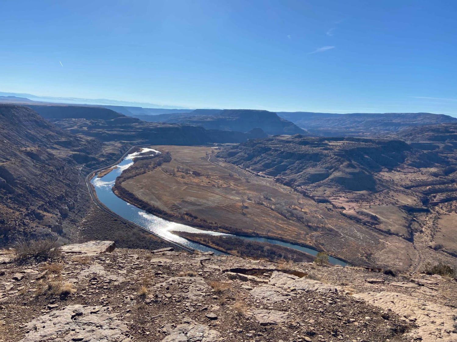
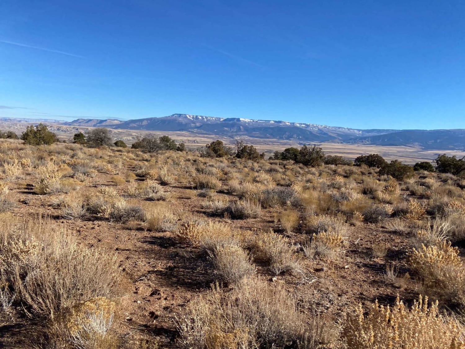
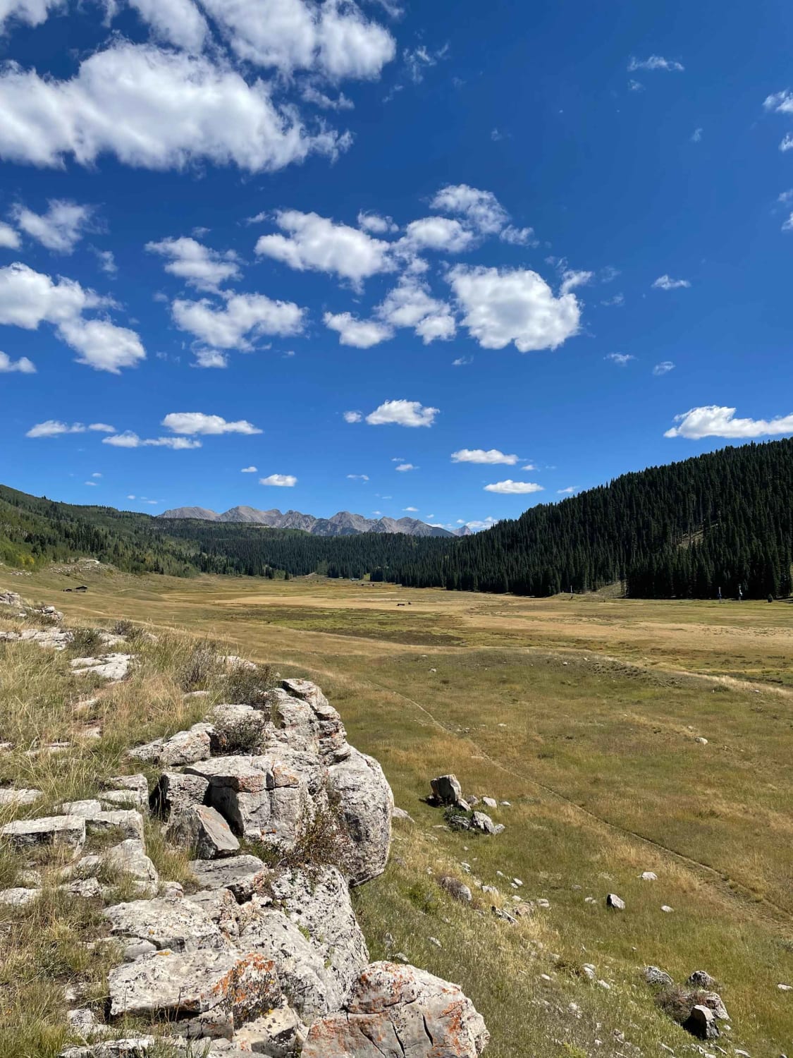
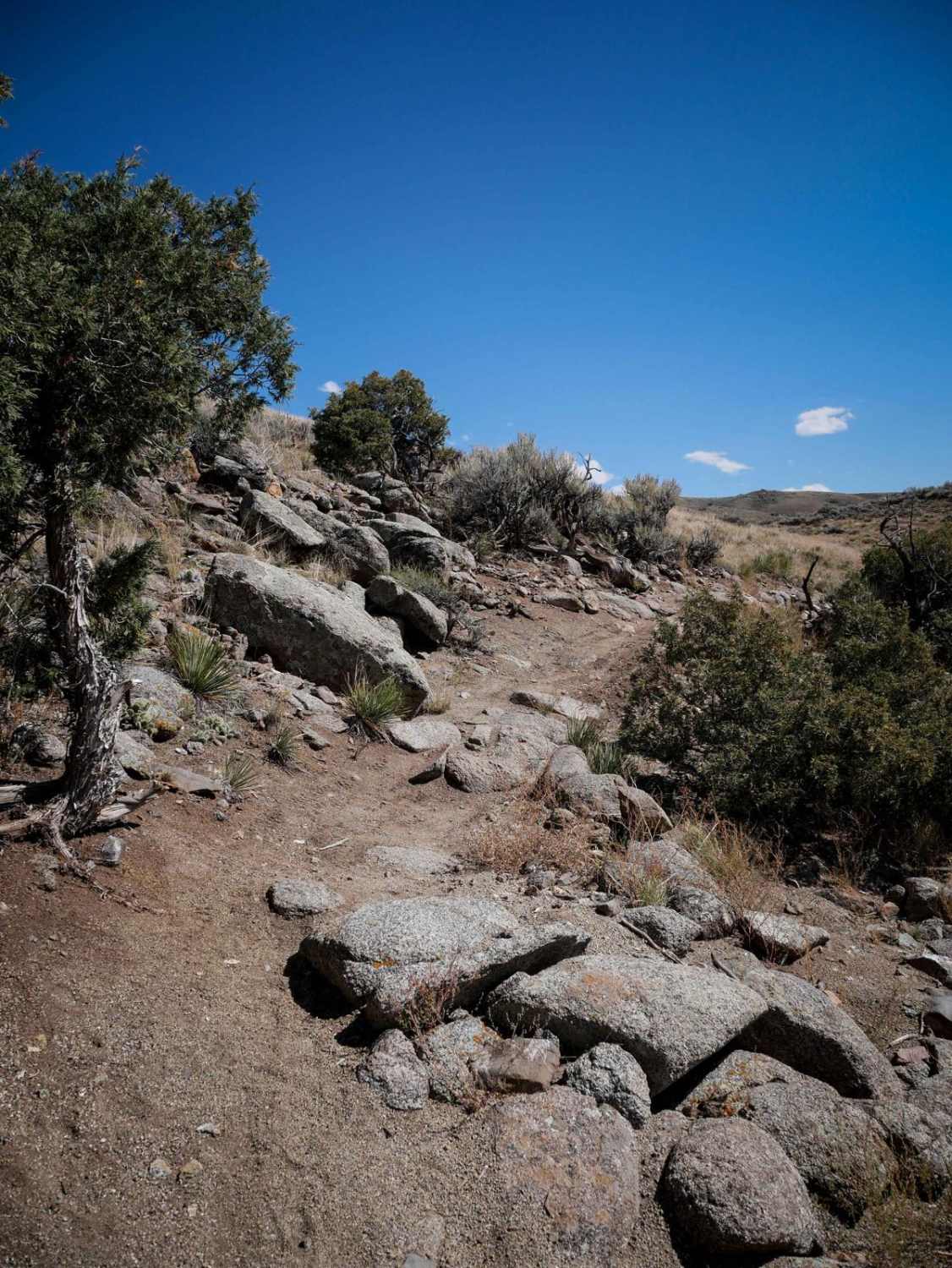
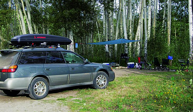
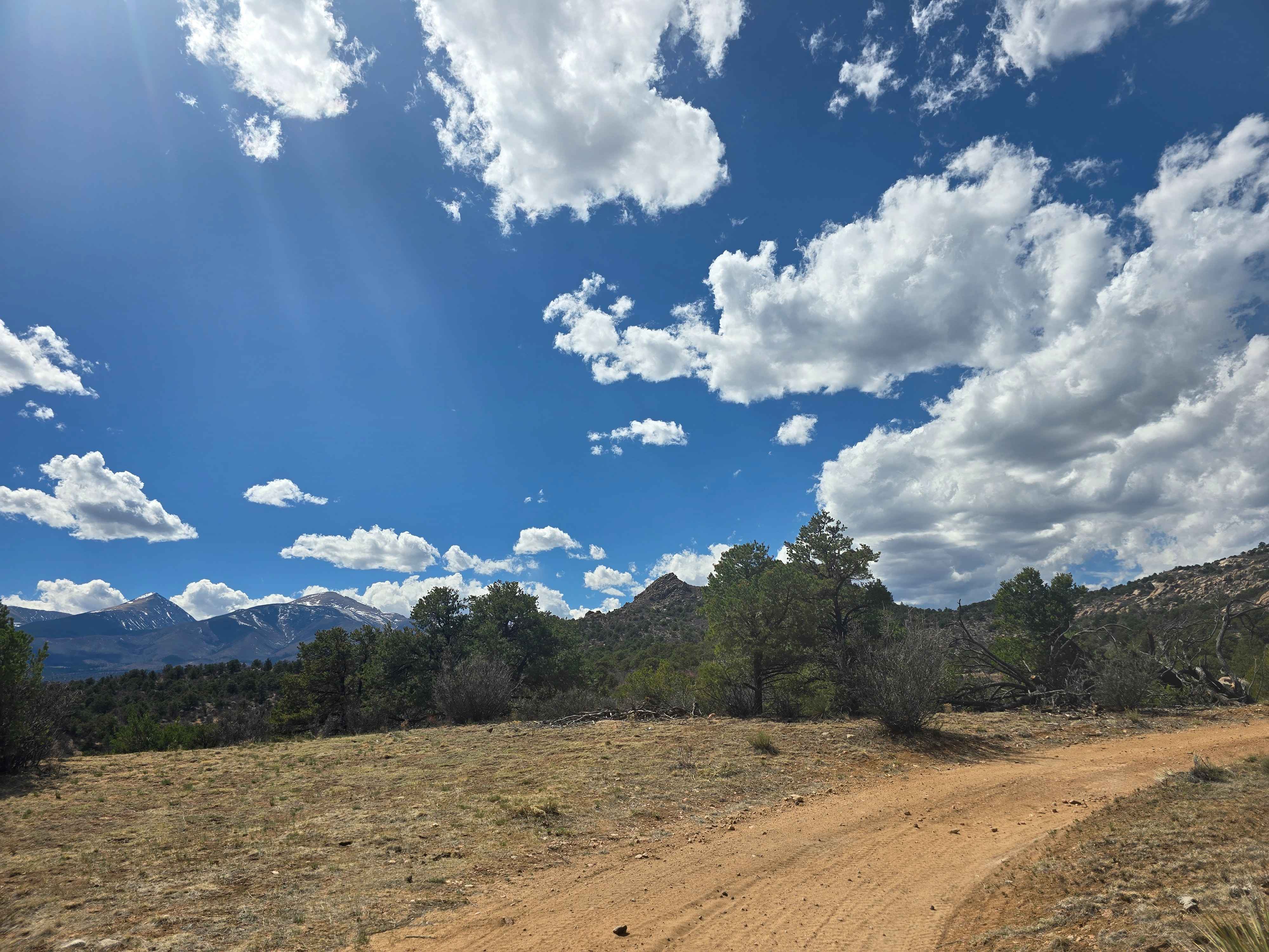
Trail Overview
BLM Route 80 is the main north/south route in the trail system off Bean Ranch Road in Whitewater. The trail is generally an easy winding road that rates 2/10, however, there are a few sections with some rock features that require high clearance that rate 4/10, hence the 3/10 rating. From the trailhead, head west on Routes 81,82, or 89 to access 80. From Route 80, you have access to a wide variety of additional trails including roads, 50-inch, and single track. String together additional routes for an adventure as long or short as you'd like. The Tunnel Point on the southernmost end of the route features spectacular near 360-degree views. The route has little coverage, so it can be hot in the summer but is also quick to dry out in the winter.
Photos of BLM Route 80
Difficulty
The trail has some loose sand and erosion. A couple features have larger loose rocks and small ledges.
Status Reports
BLM Route 80 can be accessed by the following ride types:
- High-Clearance 4x4
- SUV
- SxS (60")
- ATV (50")
- Dirt Bike
BLM Route 80 Map
Popular Trails
The onX Offroad Difference
onX Offroad combines trail photos, descriptions, difficulty ratings, width restrictions, seasonality, and more in a user-friendly interface. Available on all devices, with offline access and full compatibility with CarPlay and Android Auto. Discover what you’re missing today!