BLM Route 31
Total Miles
6.3
Technical Rating
Best Time
Fall, Summer, Spring
Trail Type
Full-Width Road
Accessible By
Trail Overview
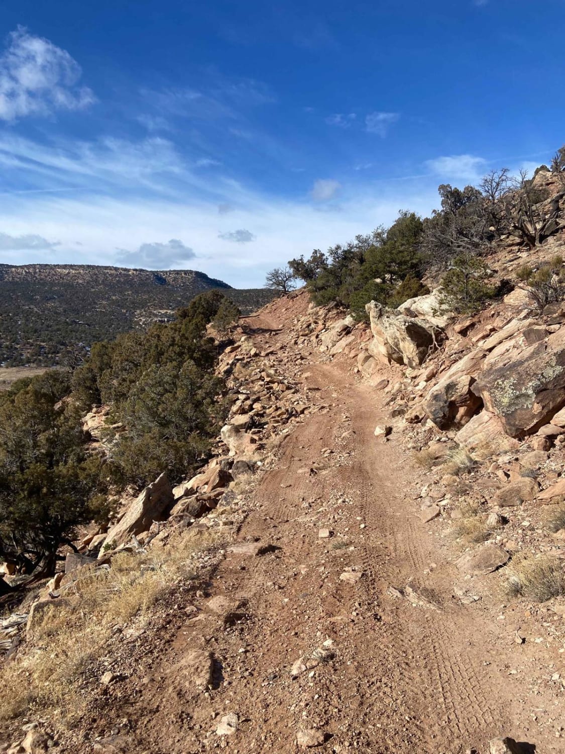
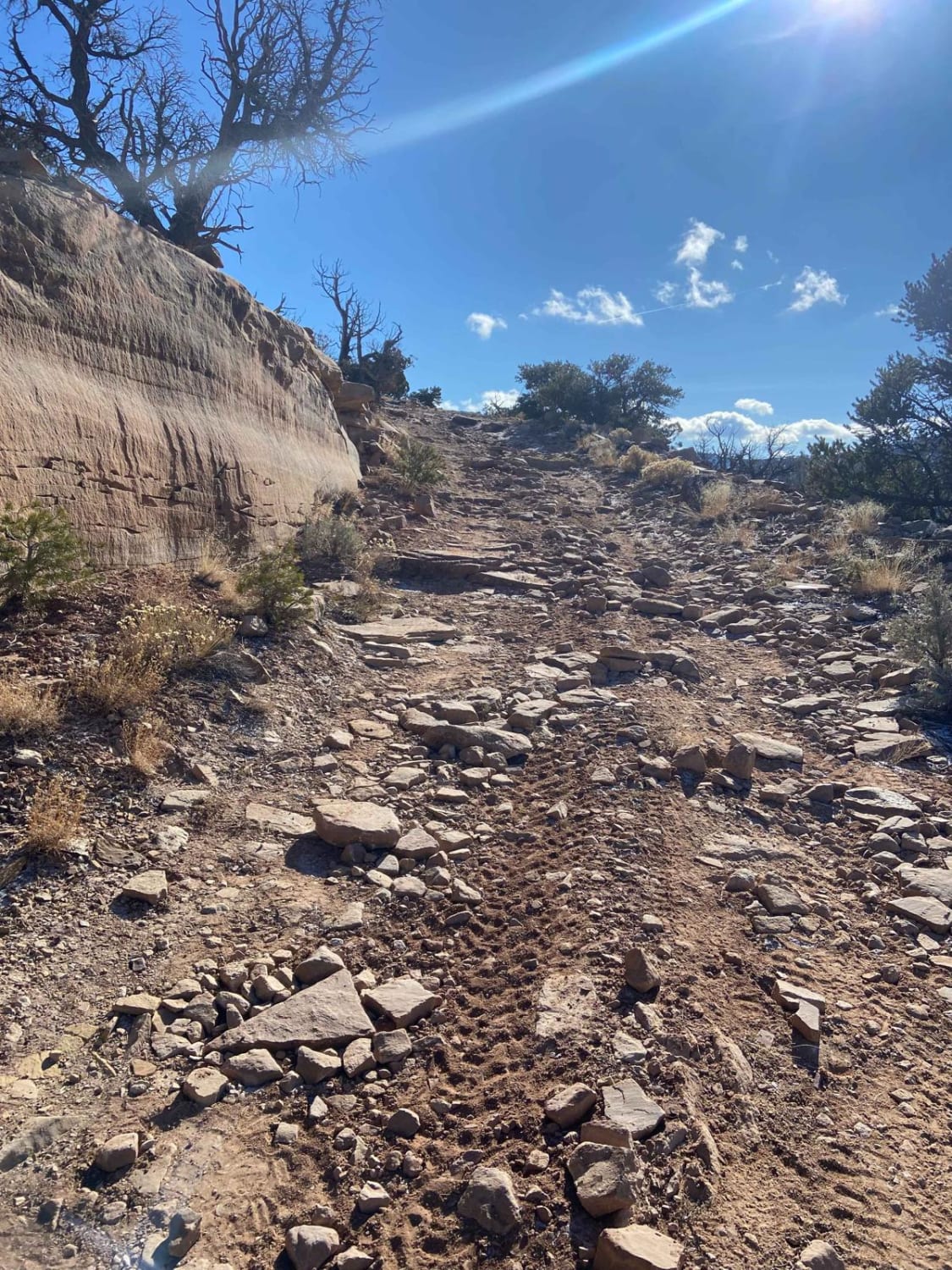
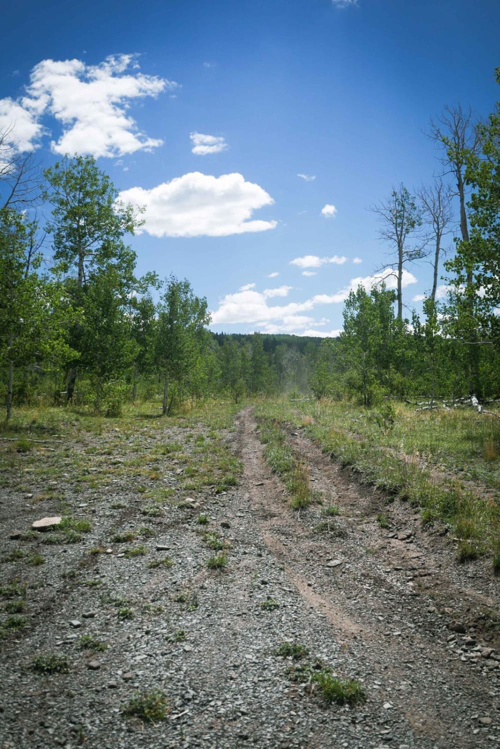
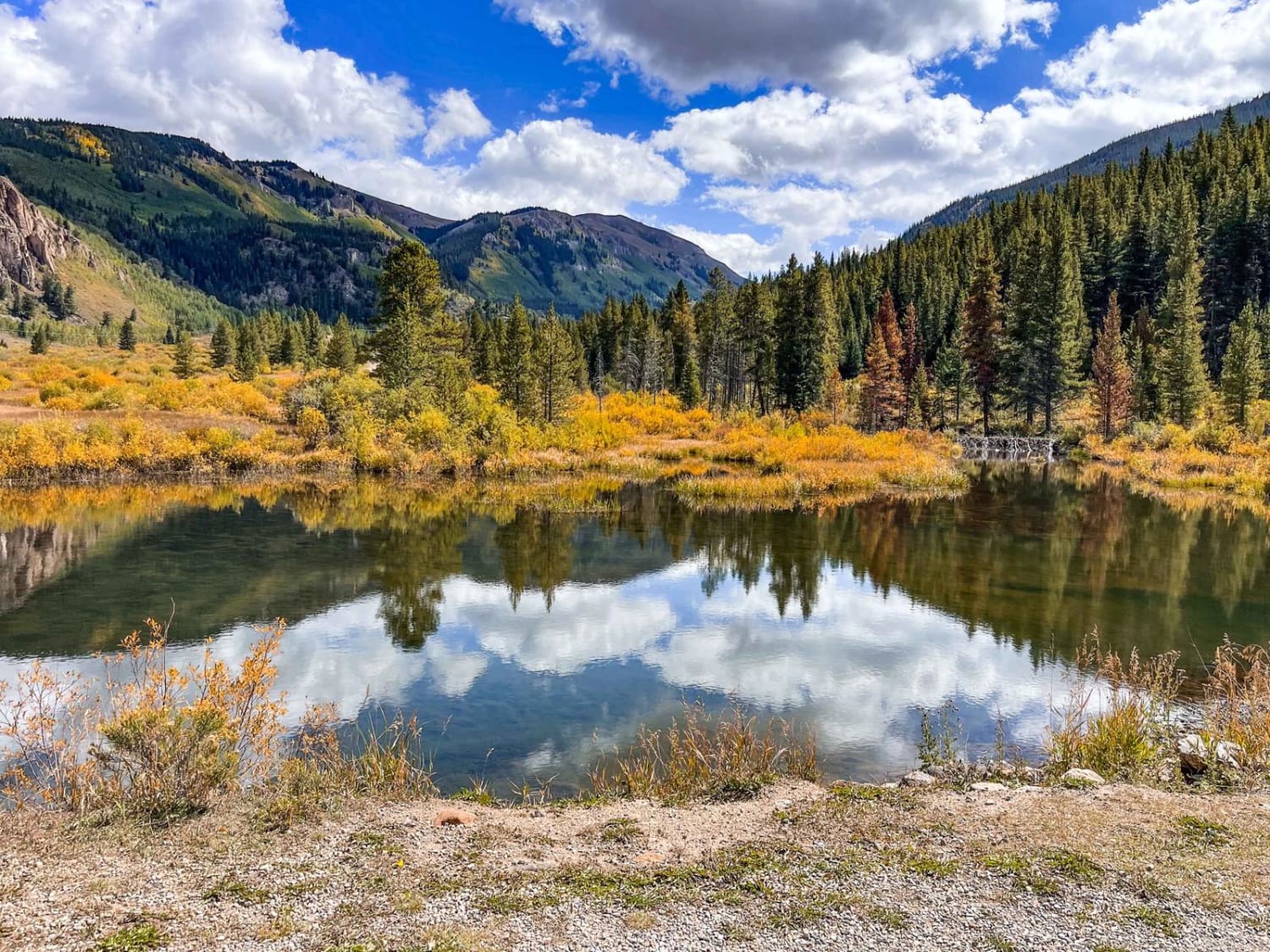
Route 31 begins towards the end of Cactus Park Road. The trail can be ridden in either direction and forms a loop. When ridden clockwise, the trail begins as an easy climb before reaching a gate around mile 2. The mile after the gate is the most challenging as the trail becomes steep, narrow, and loose. At this time, there are great views of the Grand Mesa and Gunnison River to the east. The remaining miles of trail are generally easy and feature short sections that are rocky and steep. The trail flattens out and widens as you reach the hiking/equestrian Route 37. At the next intersection, a left will take you on the Tabeguache and a right will quickly take you back to the start of the loop. This trail should be manageable in a stock high-clearance 4WD with a skilled driver.
Photos of BLM Route 31
Difficulty
The east side of the trail is steep with significant loose rock and some notable rock features.
BLM Route 31 can be accessed by the following ride types:
- High-Clearance 4x4
- SUV
- SxS (60")
- ATV (50")
- Dirt Bike
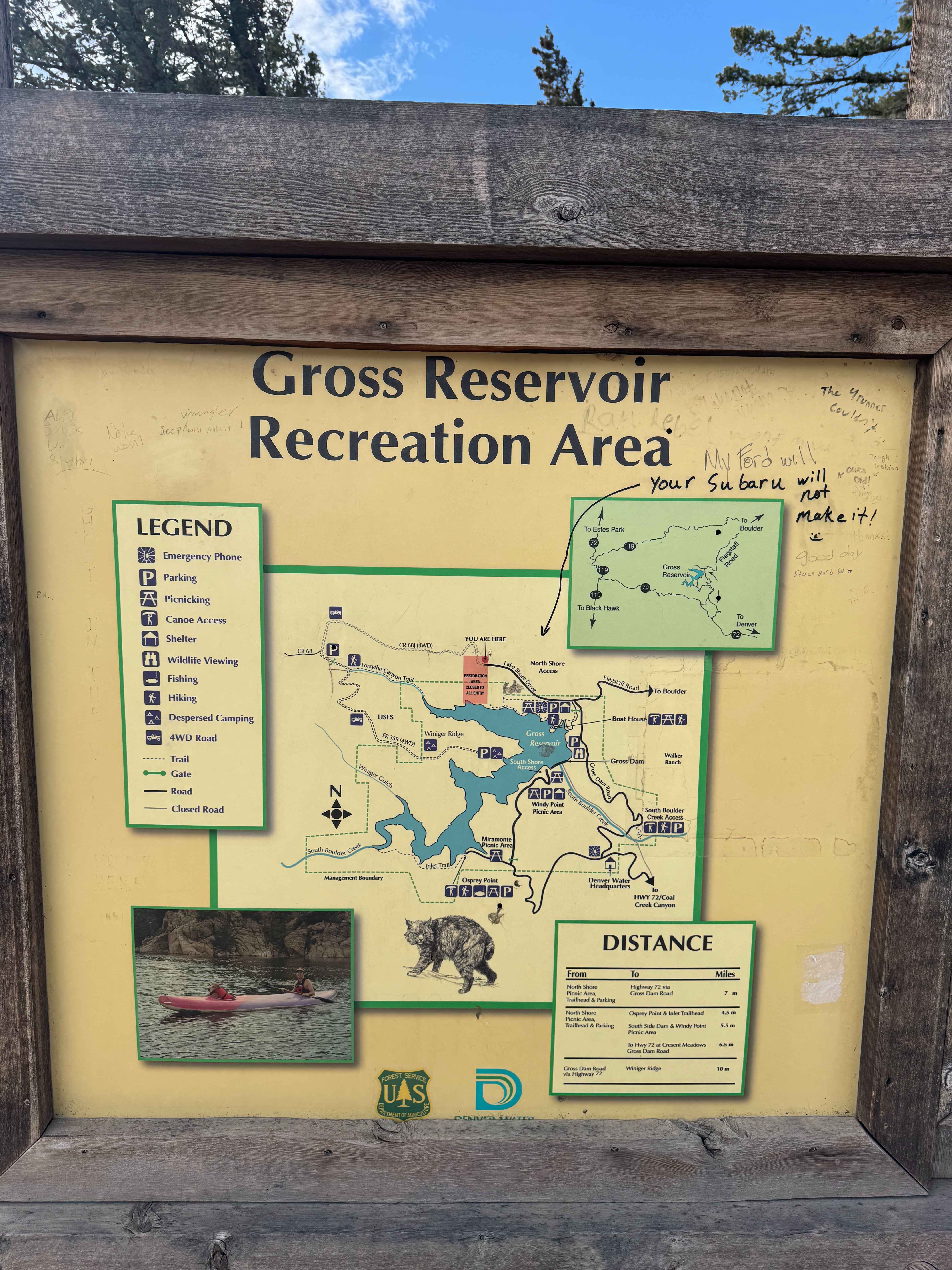
BLM Route 31 Map
Popular Trails
Alpine Loop Silverton to Animas Forks
Old Highway Road
County Road 68J
The onX Offroad Difference
onX Offroad combines trail photos, descriptions, difficulty ratings, width restrictions, seasonality, and more in a user-friendly interface. Available on all devices, with offline access and full compatibility with CarPlay and Android Auto. Discover what you’re missing today!