Alpine Loop Silverton to Animas Forks
Total Miles
2.1
Technical Rating
Best Time
Spring, Summer, Fall
Trail Type
Full-Width Road
Accessible By
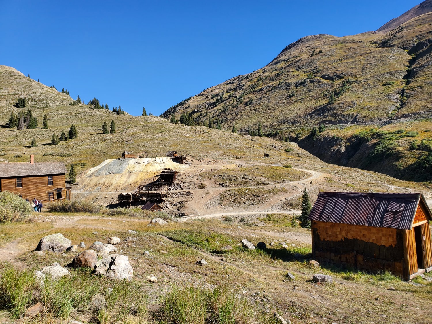
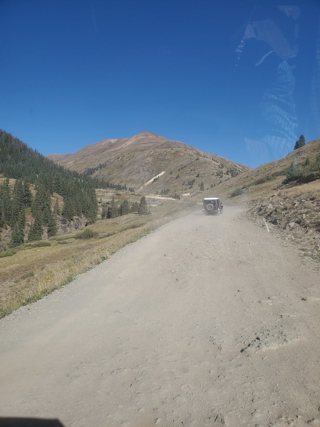
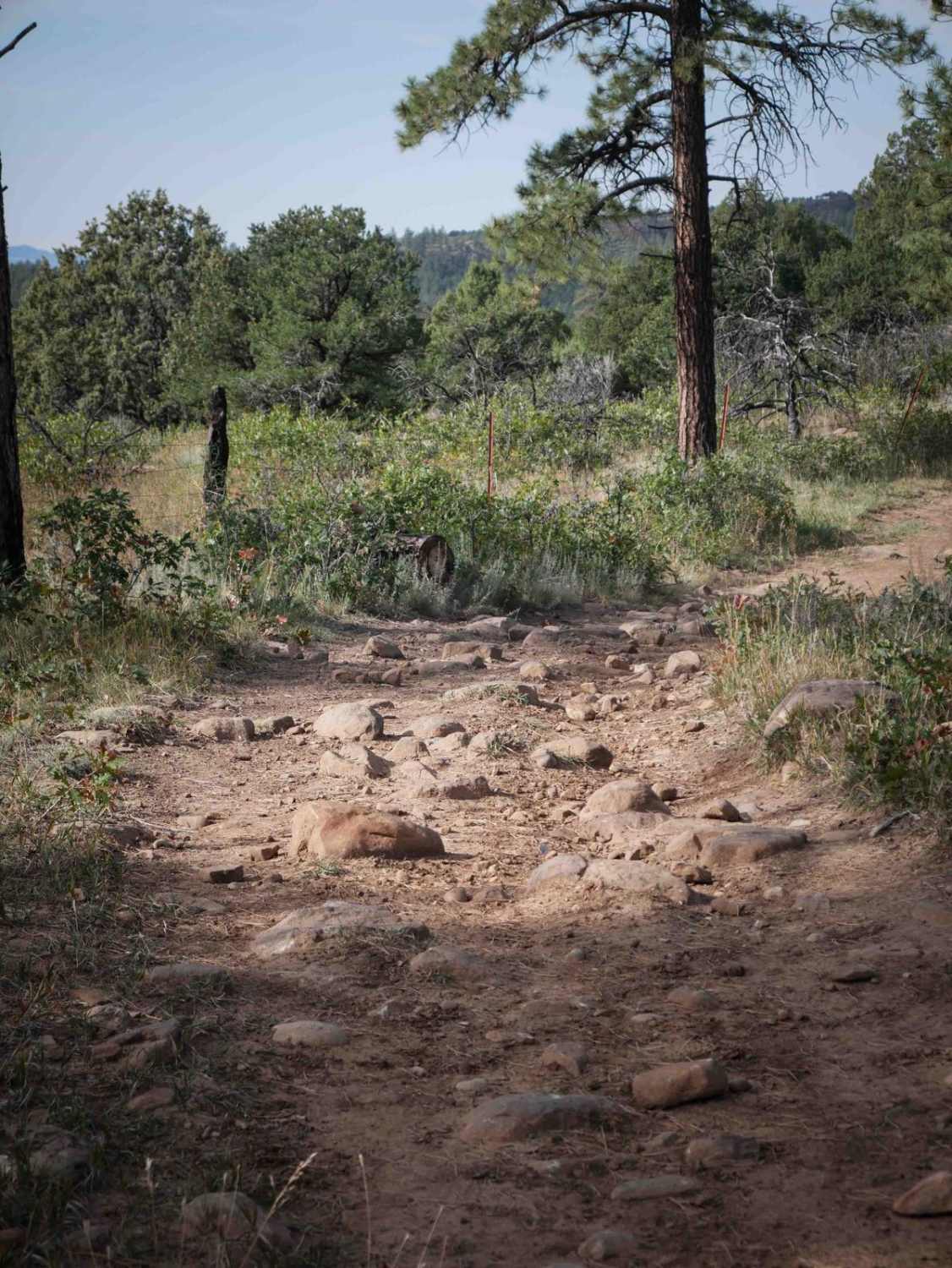
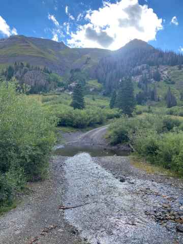
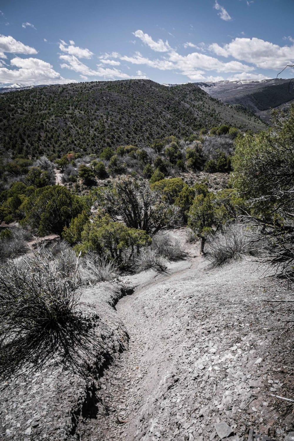
Trail Overview
This trail starts paved, then turns to gravel. Heavily trafficked on weekends, visibility can be very poor due to blowing dust. There is no cell service once you get a few miles from Silverton. This is an avalanche area in winter. Several areas are quite steep and rocky, but there are no major water crossings. Animas Forks is a partially preserved ghost town maintained by the BLM. It was established in 1873 and abandoned in 1920. Several buildings are still standing and can be walked through.
Photos of Alpine Loop Silverton to Animas Forks
Difficulty
The trail is generally well-maintained, with a few steep, rocky sections.
Status Reports
Alpine Loop Silverton to Animas Forks can be accessed by the following ride types:
- High-Clearance 4x4
- SUV
- SxS (60")
- ATV (50")
- Dirt Bike
Alpine Loop Silverton to Animas Forks Map
Popular Trails

Big Creek Scout Trail
Cunningham Gulch
The onX Offroad Difference
onX Offroad combines trail photos, descriptions, difficulty ratings, width restrictions, seasonality, and more in a user-friendly interface. Available on all devices, with offline access and full compatibility with CarPlay and Android Auto. Discover what you’re missing today!