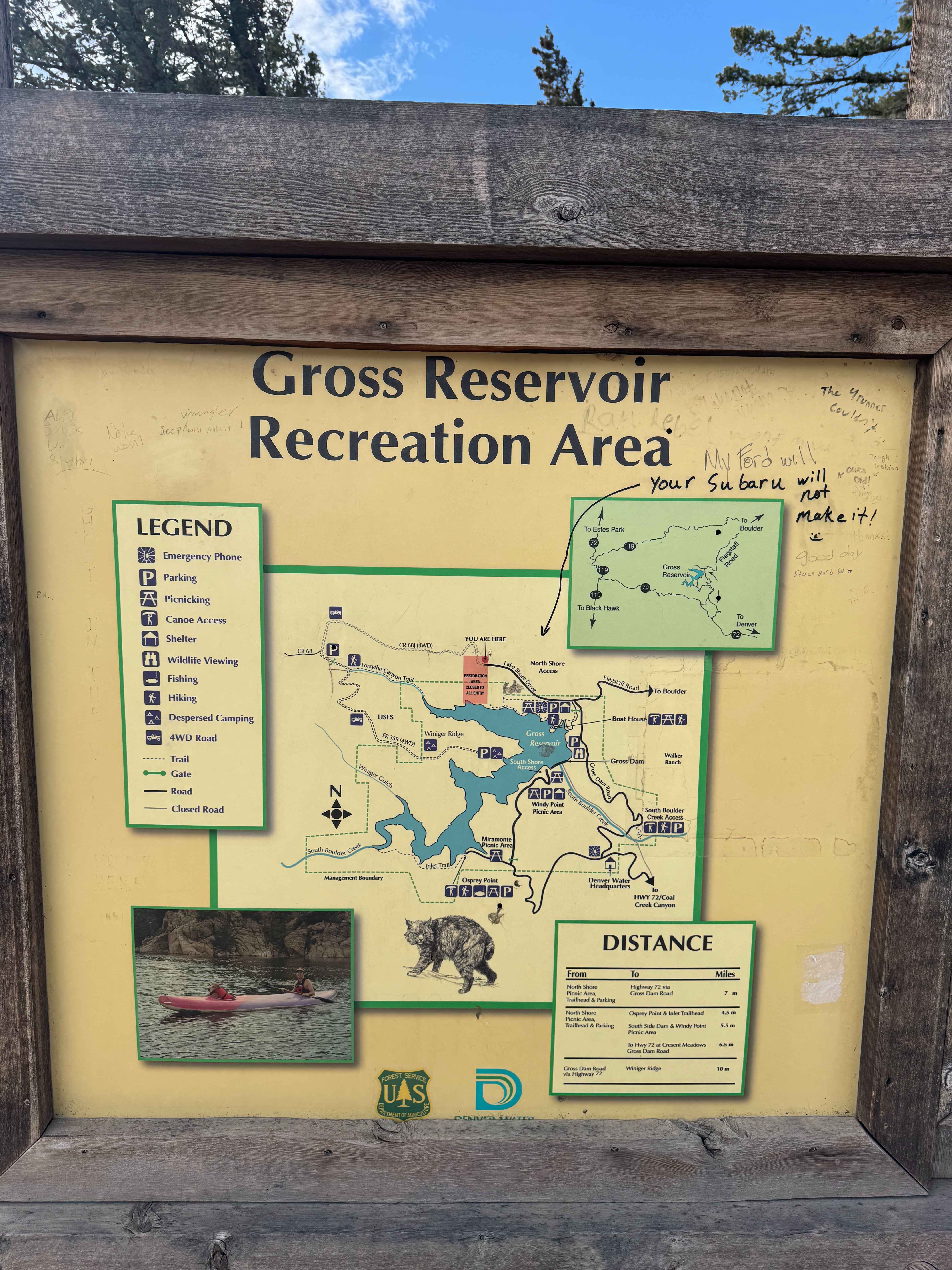
County Road 68J
Total Miles
2.1
Technical Rating
Best Time
Spring, Summer, Fall
Trail Type
Full-Width Road
Accessible By
Trail Overview
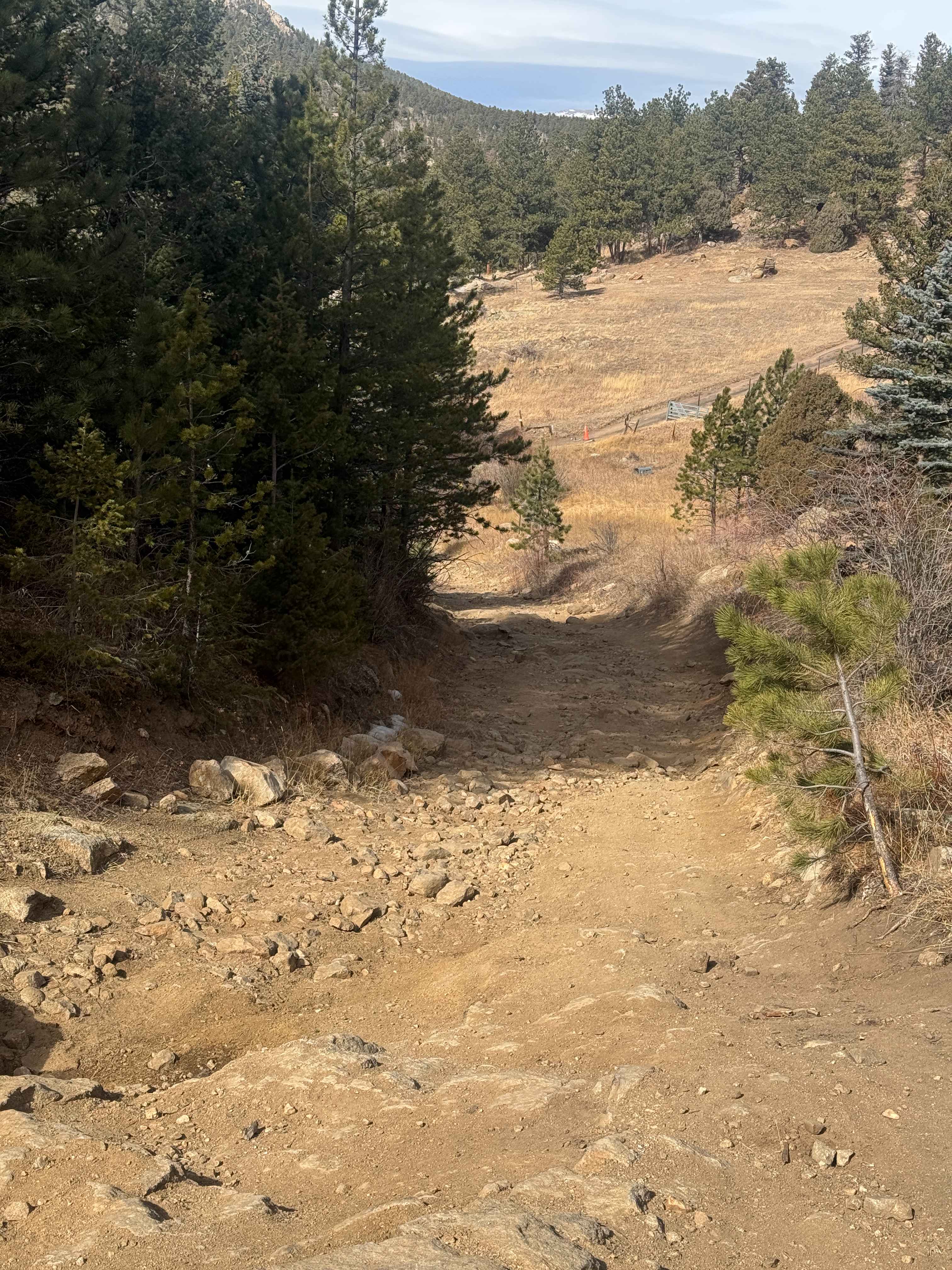
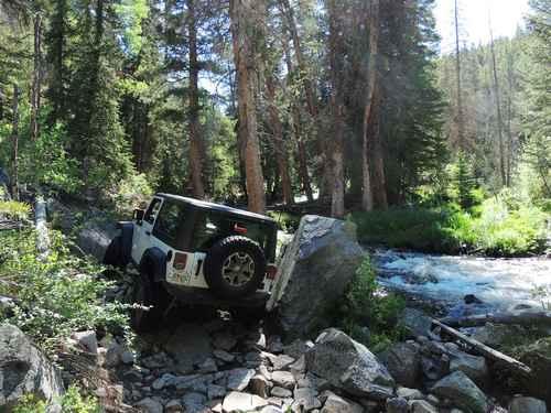
County Road 68J is a trail best run west to east, starting just past the Forsyth Canyon Trailhead. It is a 2.5-mile trail that contains lots of large embedded rocks, deep off-camber wash-outs, and drop-downs. In the Spring and Early Fall, there can be large mud holes. It is best driven in a high-clearance 4x4, as it will test the capability of your rig. Backing may be necessary to allow other vehicles to pass. Both sides of the road are Private property, so please be respectful and stay on the trail.
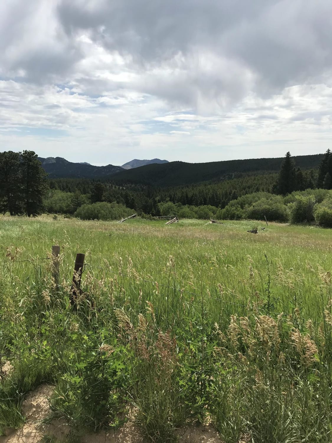
Photos of County Road 68J
Difficulty
This trail contains several large embedded rocks and rock gardens, drop-downs, large wash-outs, and can have mud holes in the spring that are quite large.
Status Reports
County Road 68J can be accessed by the following ride types:
- High-Clearance 4x4
- SUV
- Dirt Bike
County Road 68J Map
Popular Trails
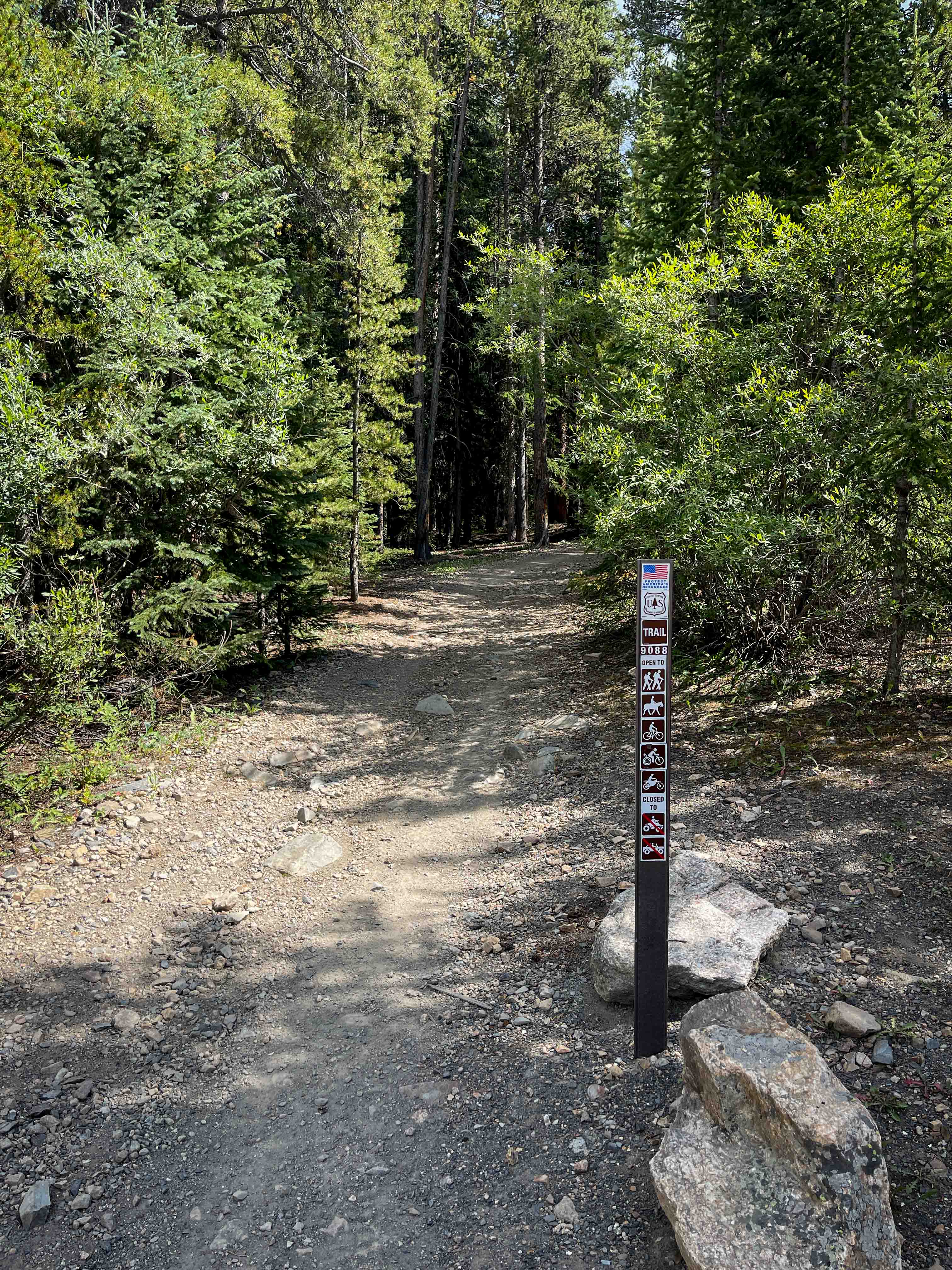
South Fork Swan Trail #9088
788 ATV Trail
Slaughterhouse Gulch
Magnolia Road East
The onX Offroad Difference
onX Offroad combines trail photos, descriptions, difficulty ratings, width restrictions, seasonality, and more in a user-friendly interface. Available on all devices, with offline access and full compatibility with CarPlay and Android Auto. Discover what you’re missing today!