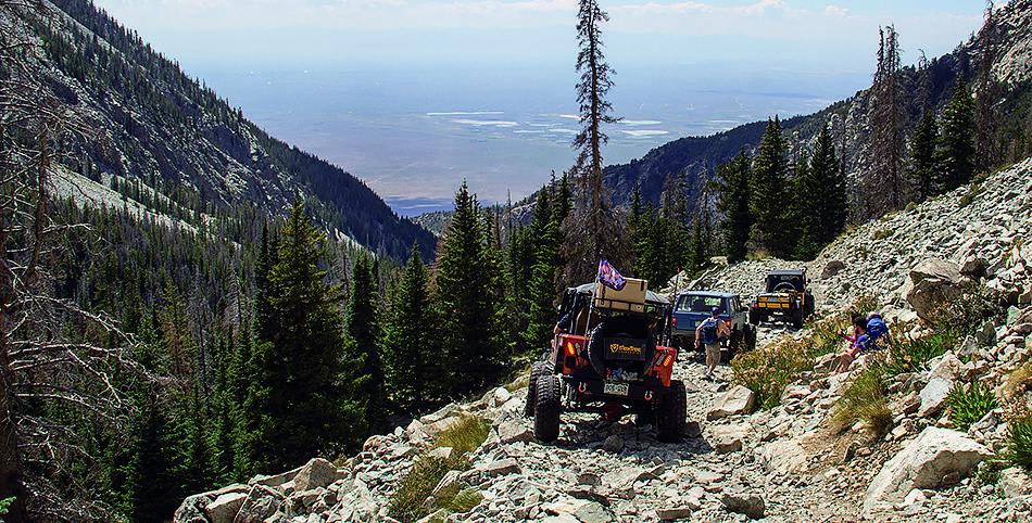
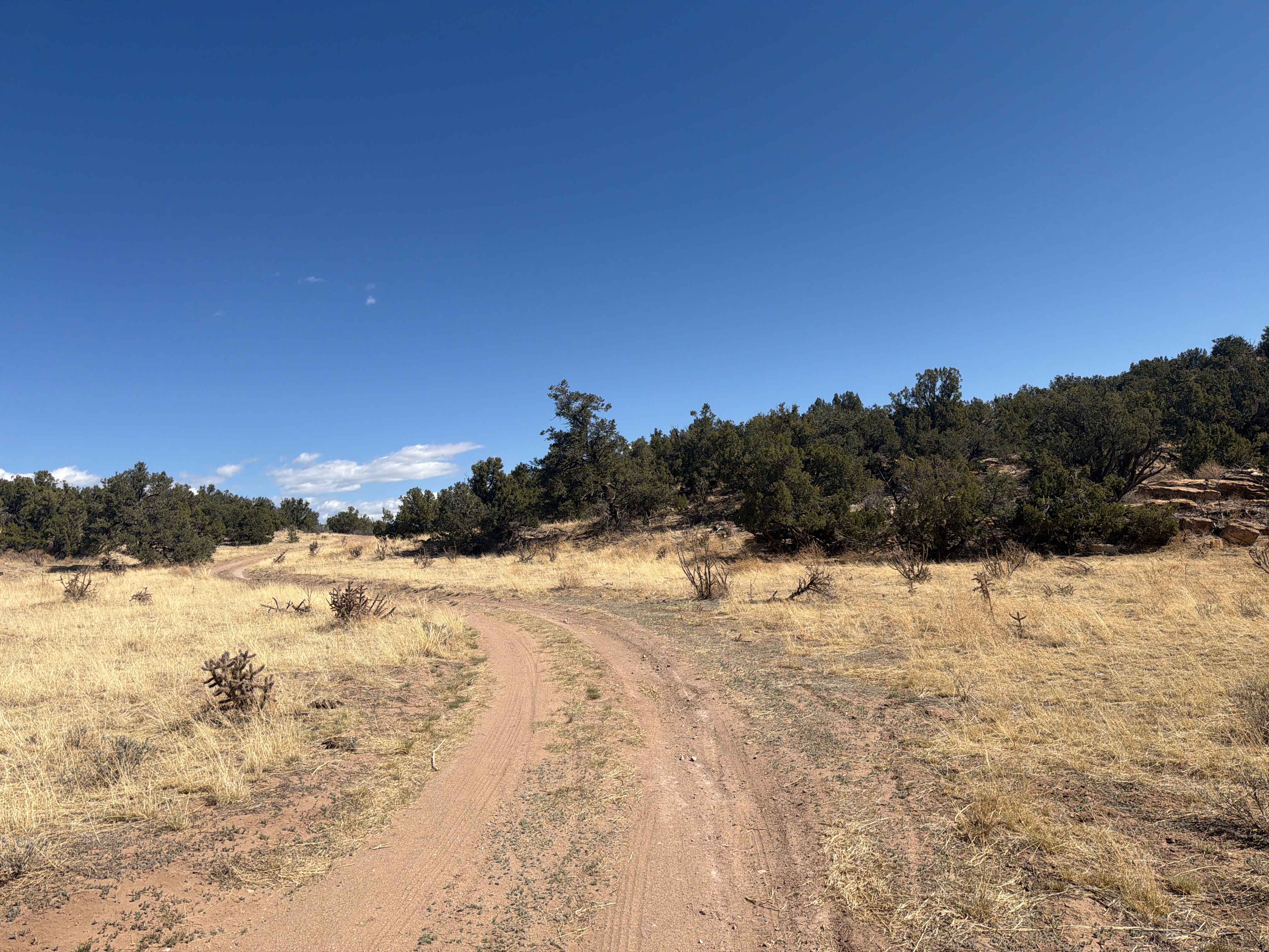
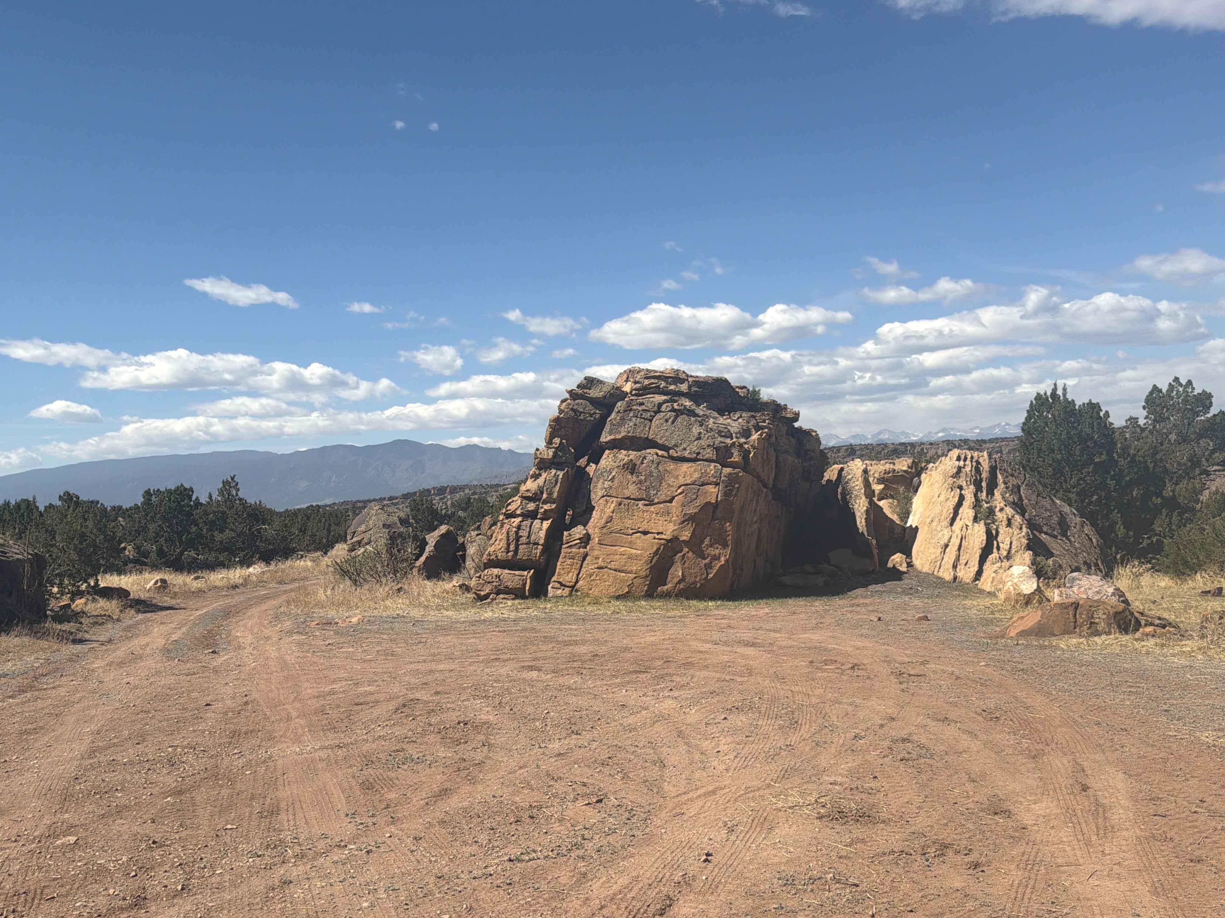
Off-Road Trails in Colorado

Discover off-road trails in Colorado
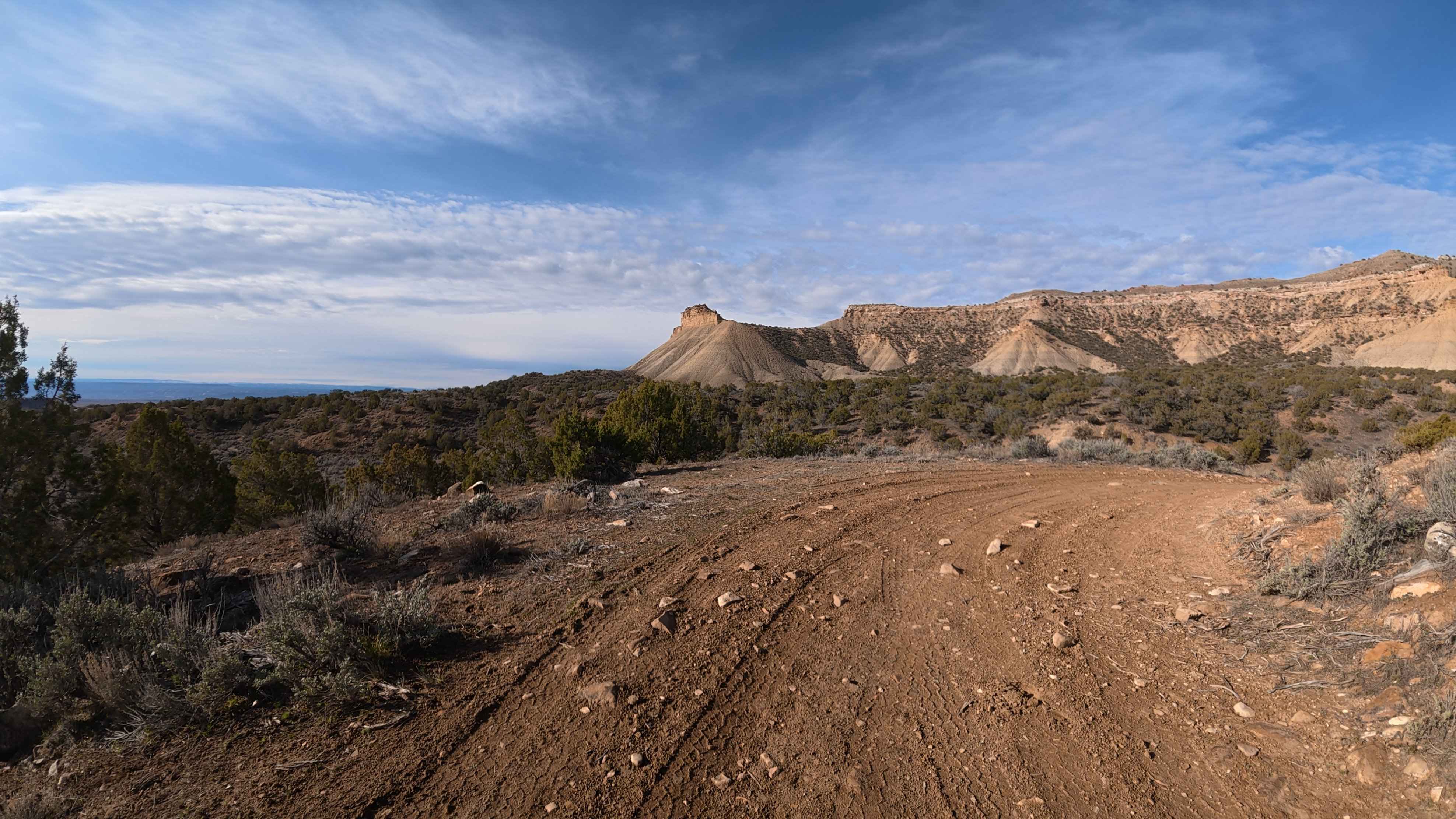
Learn more about Blanco River Road-Fr Rd 656
Blanco River Road-Fr Rd 656

Blanco River Road-Fr Rd 656

The Blanco River road runs off of Hwy 64 between Pagosa Springs and Chama, NM. As you drive along the Blanco River there are four pull off spots for primitive dry camping along the river.…
Learn more about Blanco River Road-Fr Rd 656
Total Miles
2.2
Tech Rating
1Easy
Best Time
Spring, Summer, Fall
Learn more about BLM 376
BLM 376

BLM 376

This trail is accessible off of BLM 375 "Four Mile Creek", BLM 311 and Lenhardy Cutoff. Approximately 2 miles in length, this trail starts out on the west end as easily accessible by most 4WD…
Learn more about BLM 376
Total Miles
2.0
Tech Rating
3Easy
Best Time
Spring, Summer, Fall
Learn more about BLM 6012
BLM 6012

BLM 6012

This trail is easy when dry but requires 4WD if snowy. The route travels through pine forest and has some good views to the south. At the T intersection, if you go right it goes…
Learn more about BLM 6012
Total Miles
4.5
Tech Rating
3Easy
Best Time
Spring, Summer, Fall, Winter
Learn more about BLM 6045
BLM 6045

BLM 6045

This is a fun easy road. 4WD is only needed if it's snowy. The trail travels up to the top of the mountain where there are some good views, and then it travels down a…
Learn more about BLM 6045
Total Miles
4.0
Tech Rating
3Easy
Best Time
Spring, Summer, Fall, Winter
Learn more about BLM 6051
BLM 6051

BLM 6051

This is an easy trail. At the top of the trail, there is a T intersection; the loop to the right is not traveled very much and can be hard to follow. On the road…
Learn more about BLM 6051
Total Miles
4.7
Tech Rating
3Easy
Best Time
Spring, Summer, Fall, Winter
Learn more about BLM 8600F
BLM 8600F

BLM 8600F

This desert single-track goes along the spine of a desert mesa the whole way, with wide and narrow sections of the spine, and along the rim of the mesa with cool views of the valley…
Learn more about BLM 8600F
Total Miles
1.3
Tech Rating
6Moderate
Best Time
Fall, Summer, Spring
Learn more about BLM 8600I
BLM 8600I

BLM 8600I

BLM 8600I starts off of Highway 131 across from the dirt pull-off/staging area. It starts on a sandy trail that parallels the highway with lots of whoops. It turns south on a fast and flowy…
Learn more about BLM 8600I
Total Miles
1.4
Tech Rating
6Moderate
Best Time
Fall, Summer, Spring
Learn more about BLM 8622
BLM 8622

BLM 8622

BLM 8622 is a desert single track in the McCoy trail system in Colorado that has some trickier rock obstacles. The trail is 1.2 miles but is very curvy and goes up and down a…
Learn more about BLM 8622
Total Miles
1.5
Tech Rating
6Moderate
Best Time
Fall, Summer, Spring
Learn more about BLM 8623
BLM 8623

BLM 8623

This 1-mile desert single track starts in a sandy, wide-open wash, then goes into a narrower ravine with tall dirt walls with banked corners and fun wall-riding on the berms. It climbs out of the…
Learn more about BLM 8623
Total Miles
1.1
Tech Rating
4Moderate
Best Time
Fall, Summer, Spring
Learn more about BLM 8624
BLM 8624

BLM 8624

This is one of the longer trails in the trail system at 2.5 miles. This single track has a rocky start down in the valley below the mesas, with a big loose hill climb up…
Learn more about BLM 8624
Total Miles
2.3
Tech Rating
5Moderate
Best Time
Fall, Summer, Spring
Learn more about BLM 8625
BLM 8625

BLM 8625

Dirt bike trail BLM 8625 is a 2-mile trail that starts and ends on BLM 8624, with a section that parallels Highway 131 in the middle of the loop. Parts of the trail are fast…
Learn more about BLM 8625
Total Miles
2.3
Tech Rating
5Moderate
Best Time
Fall, Summer, Spring
Learn more about BLM Route 015
BLM Route 015

BLM Route 015

This trail begins near the Cactus Park Staging area right off Highway 141 near Whitewater. The trail is accessed off BLM Route 013 which is an easy road. The first mile or so of the…
Learn more about BLM Route 015
Total Miles
3.7
Tech Rating
3Easy
Best Time
Spring, Summer, Fall
Learn more about BLM Route 017
BLM Route 017

BLM Route 017

BLM Route 017 runs parallel to the Tabeguache in the Cactus Park area. When ridden south to north, the first 1.5 miles of the upper end are flowy and fast through loose red sand. As…
Learn more about BLM Route 017
Total Miles
5.0
Tech Rating
4Moderate
Best Time
Spring, Summer, Fall
Learn more about BLM Route 018
BLM Route 018

BLM Route 018

BLM Route 018 is a short but fun 50-inch trail in the Cactus Park area. It is accessed from Route 013 or 017. When ridden west to east, the trail starts with a short climb…
Learn more about BLM Route 018
Total Miles
2.7
Tech Rating
6Moderate
Best Time
Spring, Summer, Fall
Learn more about BLM Route 165
BLM Route 165

BLM Route 165

BLM Route 165 is designated for dirt bikes but is mostly a whooped-out, road-width dirt trail that follows a power line. It's smooth dirt, with no rock, but has huge whoops the whole way. It…
Learn more about BLM Route 165
Total Miles
2.3
Tech Rating
2Easy
Best Time
Fall, Spring
Learn more about BLM Route 174
BLM Route 174

BLM Route 174

BLM Route 174 is primarily a pipeline access trail that runs from 21 Road to 16 Road. It can be used as a connector between these two points, however, not many opportunities exist for camping,…
Learn more about BLM Route 174
Total Miles
9.2
Tech Rating
3Easy
Best Time
Spring, Summer, Fall
Learn more about BLM Route 185
BLM Route 185

BLM Route 185

BLM Route 185 is a seldom-ridden dirt bike trail in the North Fruita Desert that goes through an overgrown adobe ditch on a very faint track. The trailhead on the south end has a trail…
Learn more about BLM Route 185
Total Miles
1.6
Tech Rating
2Easy
Best Time
Fall, Spring
Learn more about BLM Route 186
BLM Route 186

BLM Route 186

BLM Route 186 is a fast and easy single track that flows across green meadows and valleys in the lower section of the north Fruita desert. It starts in a green grassy meadow on a…
Learn more about BLM Route 186
Total Miles
1.7
Tech Rating
2Easy
Best Time
Fall, Spring
Learn more about BLM Route 187A
BLM Route 187A

BLM Route 187A

BLM Route 187A is a short and fun single track through an adobe arroyo in the North Fruita desert that spurs off of BLM Route 187 (Branch Wash), which is another ditch trail. The 187A…
Learn more about BLM Route 187A
Total Miles
1.6
Tech Rating
2Easy
Best Time
Fall, Spring
Learn more about BLM Route 196
BLM Route 196

BLM Route 196

BLM Route 196 is a fast single track in the North Fruita Desert trail system north of Fruita, Colorado. The east end of the trail starts at the back of a public utility plant on…
Learn more about BLM Route 196
Total Miles
3.3
Tech Rating
2Easy
Best Time
Fall, Spring

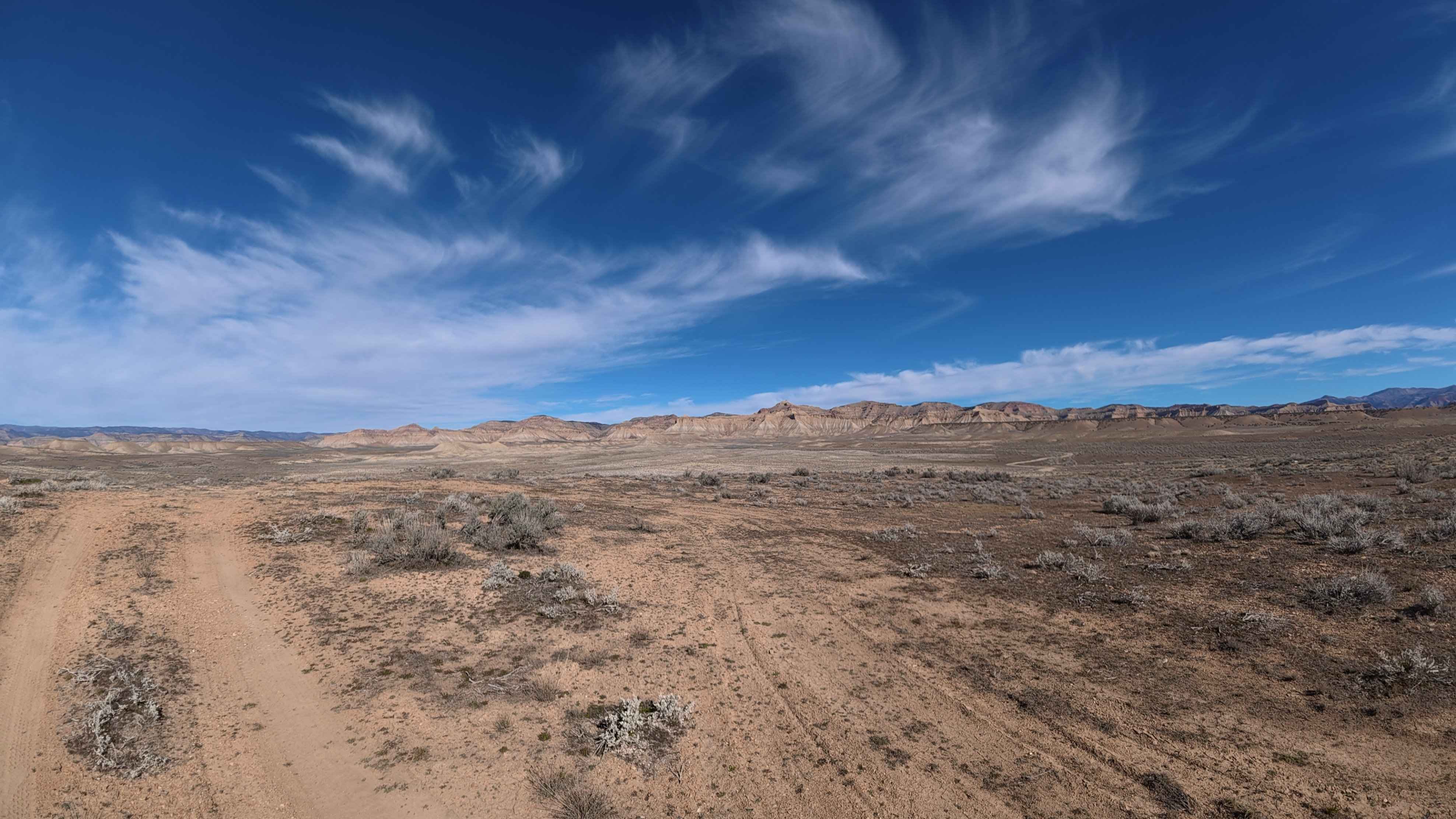
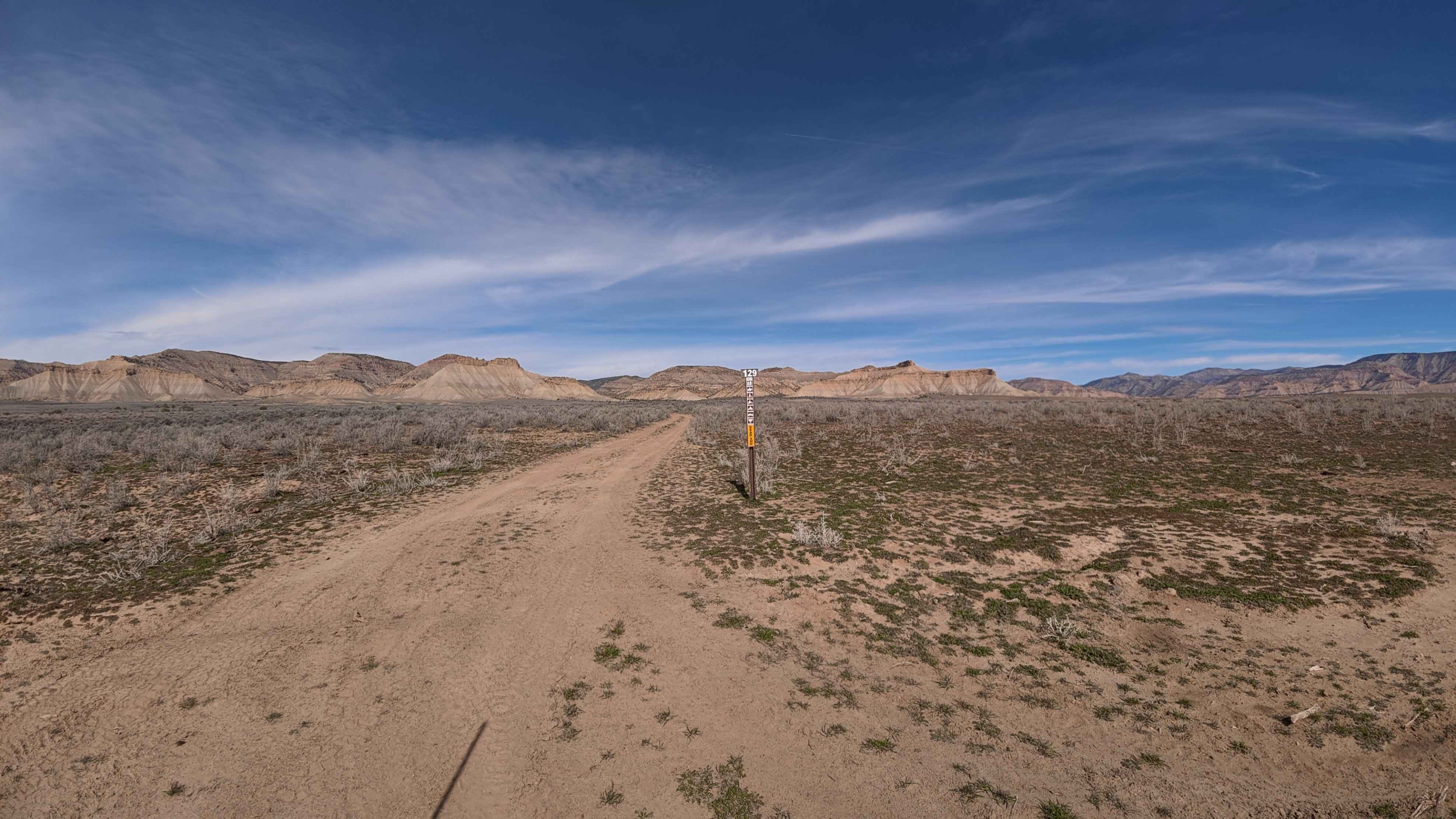
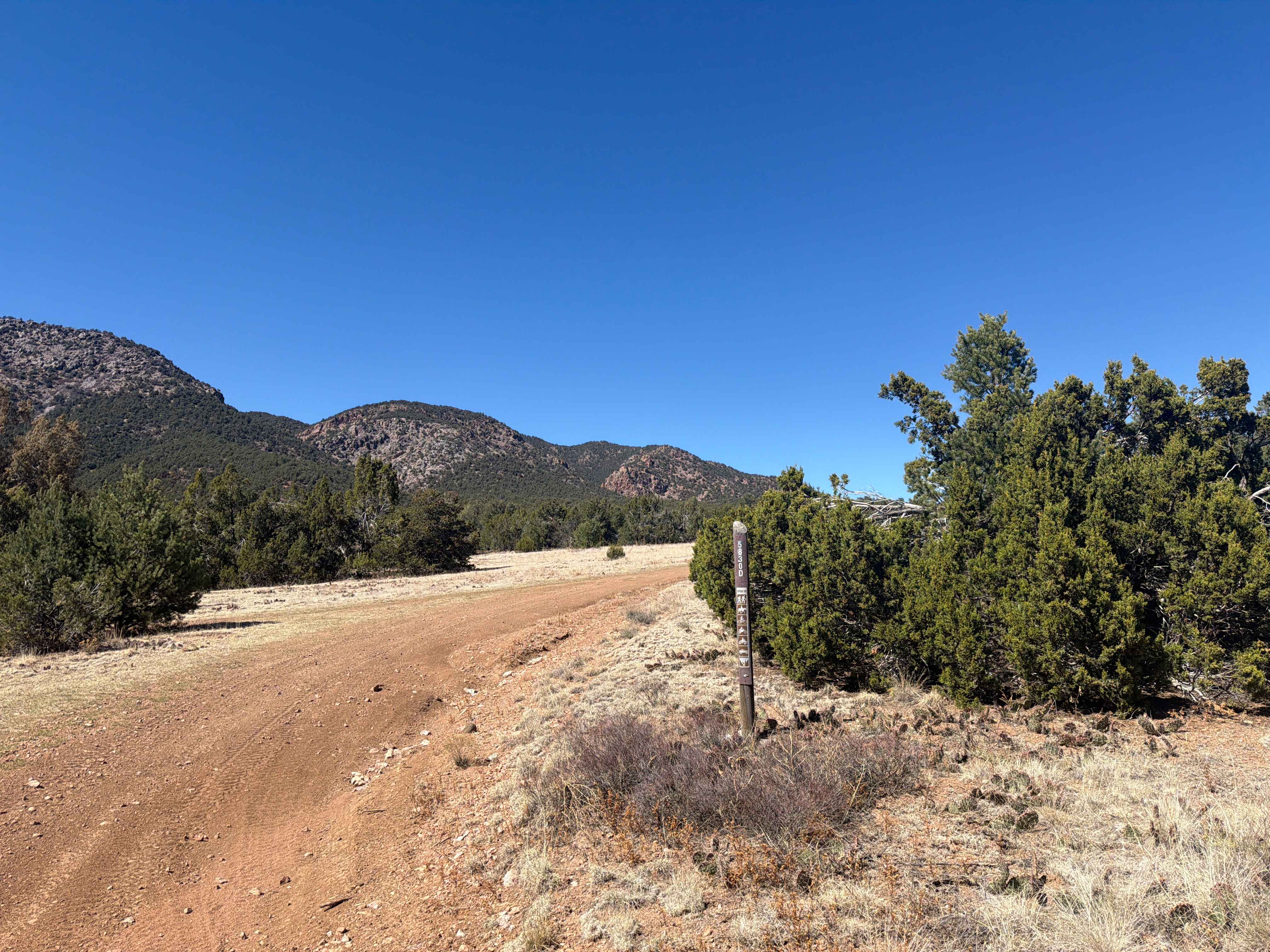
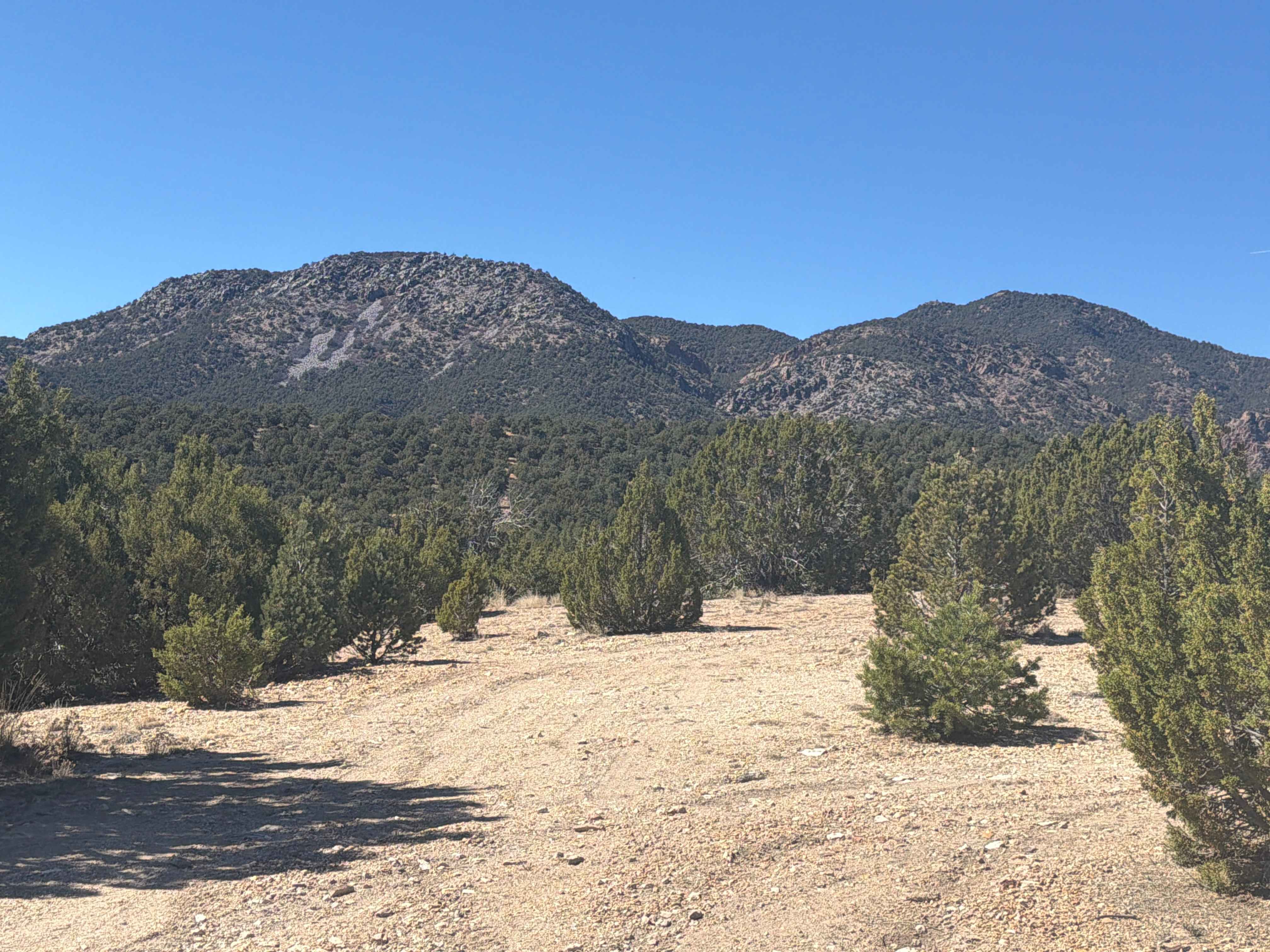
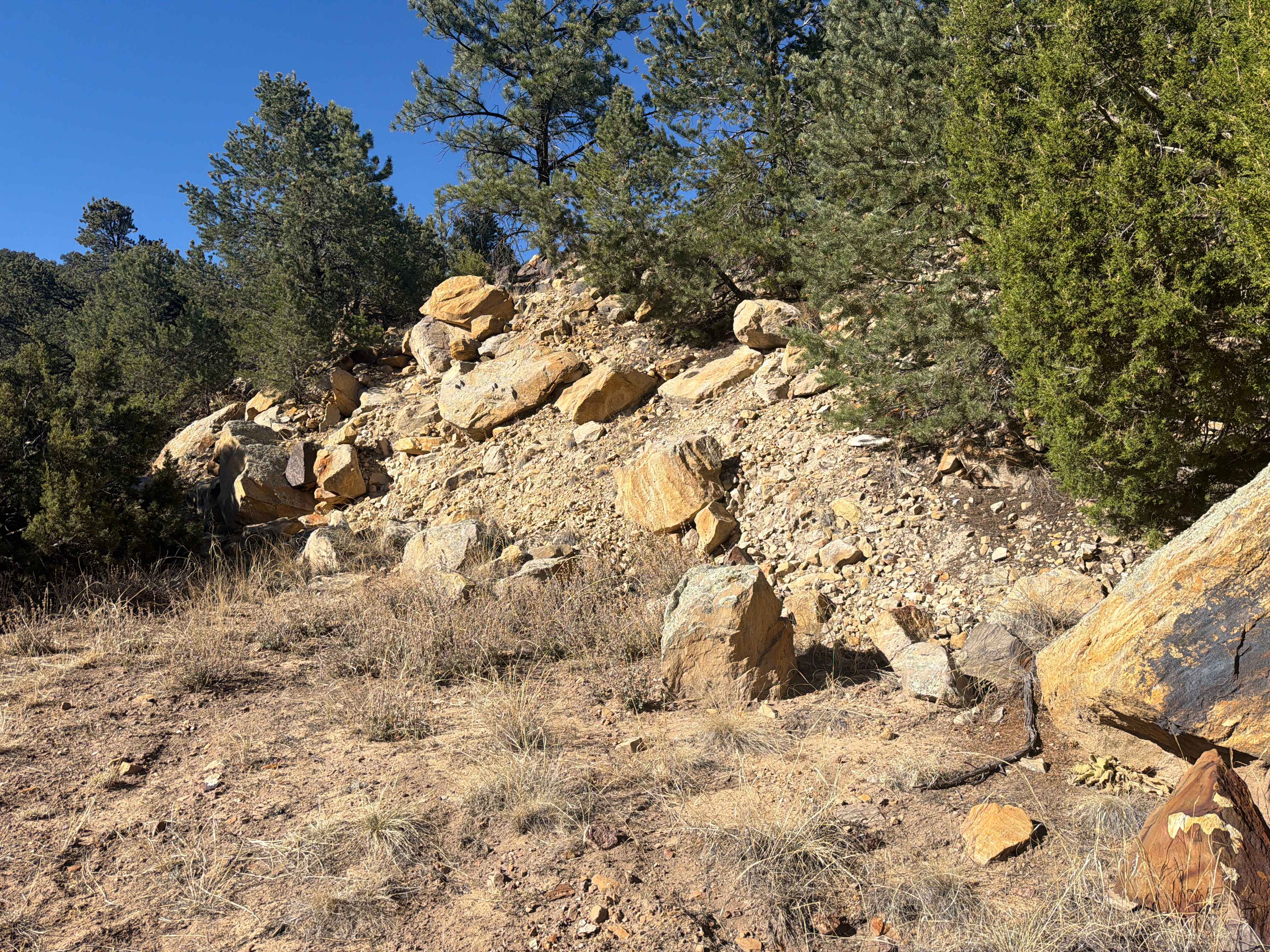
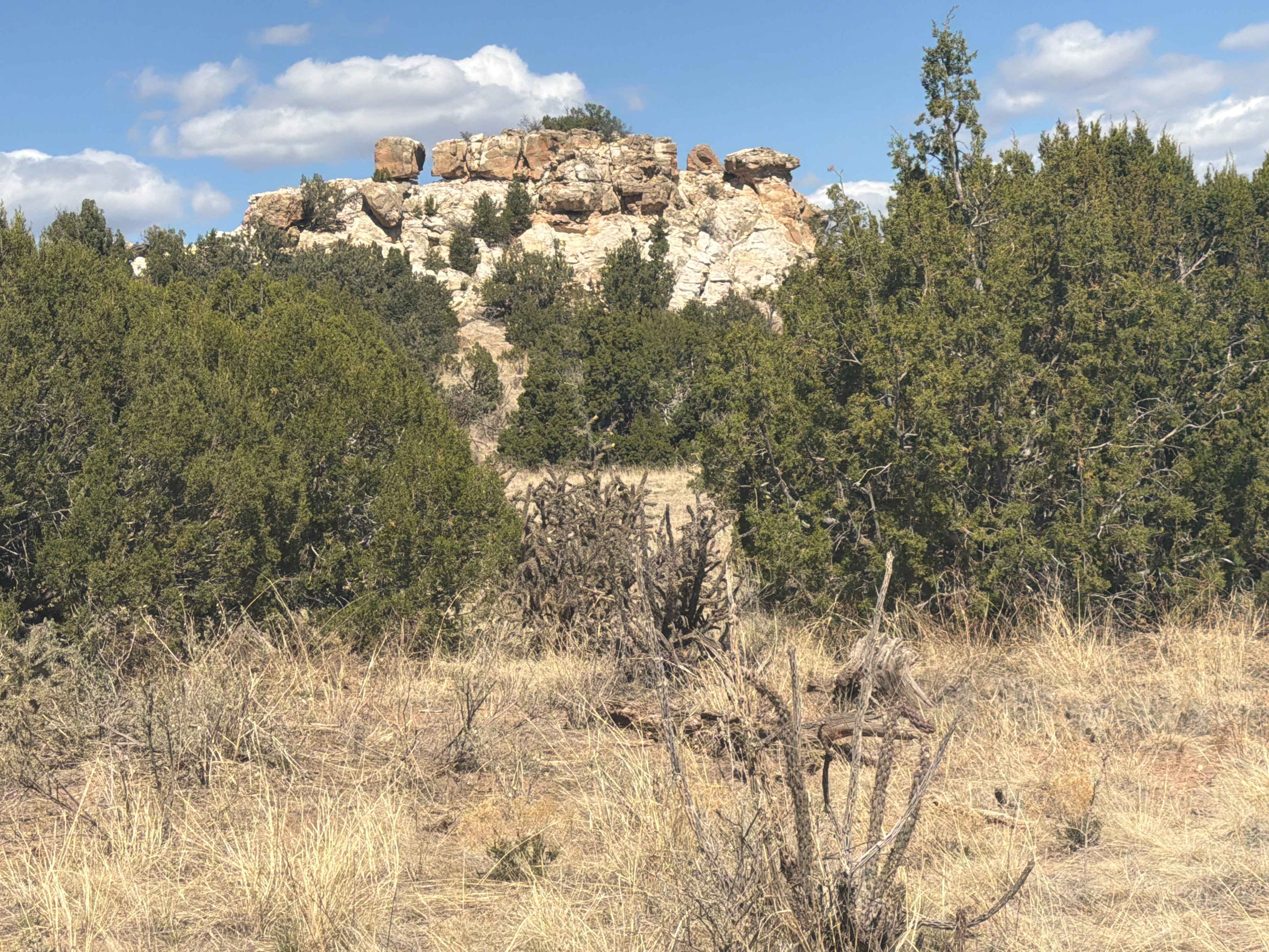
ATV trails in Colorado

Learn more about 427 ATV
 427 ATV

427 ATV

This 2-mile-long ATV trail parallels the Wolford Reservoir with a view of the water almost the whole way. The majority of the trail is a wide ATV path through a flat valley, going up and…
Learn more about 427 ATV
Total Miles
2.0
Tech Rating
3Easy
Best Time
Spring, Summer, Fall
Learn more about 16 Road, Coal Gulch
16 Road, Coal Gulch

16 Road, Coal Gulch

Take this trail through a beautiful, winding canyon. Early on, you will have the option to continue straight to an overlook, or take a left and view the end of the extreme 21 Road trail.…
Learn more about 16 Road, Coal Gulch
Total Miles
14.1
Tech Rating
3Easy
Best Time
Spring, Fall
Learn more about 171.0
171.0

171.0

This trail connects County Road 69 to the Sevenmile Creek Trail and offers easy travel with several camping opportunities along the way. Be sure to explore the side trails as they lead to more secluded…
Learn more about 171.0
Total Miles
2.3
Tech Rating
2Easy
Best Time
Summer, Fall
Learn more about 171.A
171.A

171.A

This trail connects County Road 69 to the Sevenmile Creek Trail. There is a large camping area at the west entrance of the trail, as well as several smaller sights throughout the route. Keep in…
Learn more about 171.A
Total Miles
1.9
Tech Rating
2Easy
Best Time
Summer, Fall

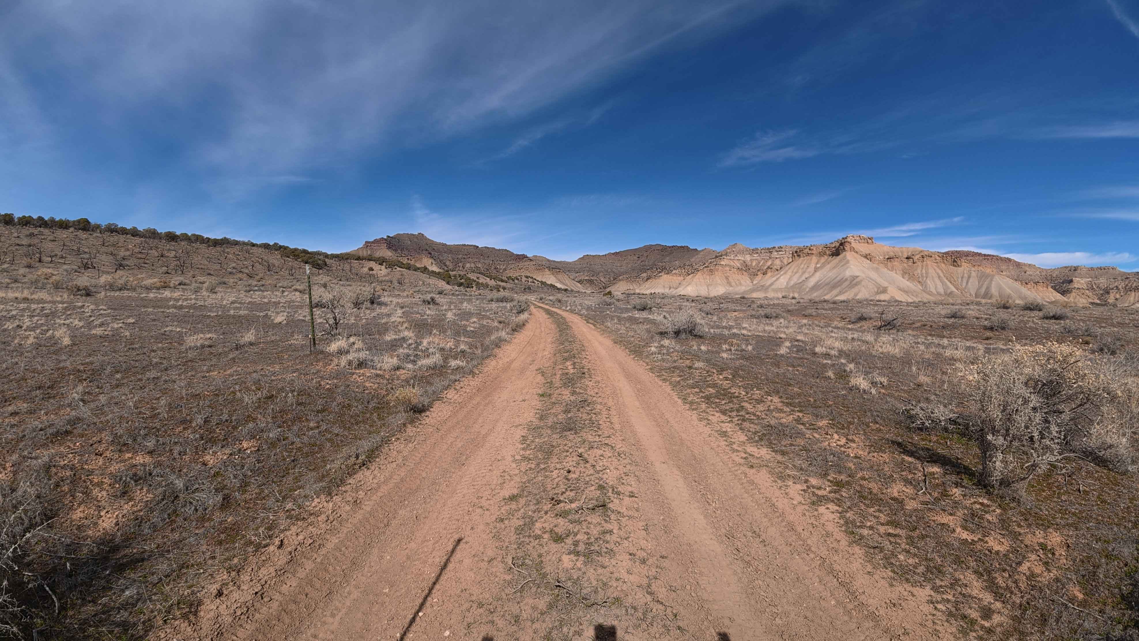
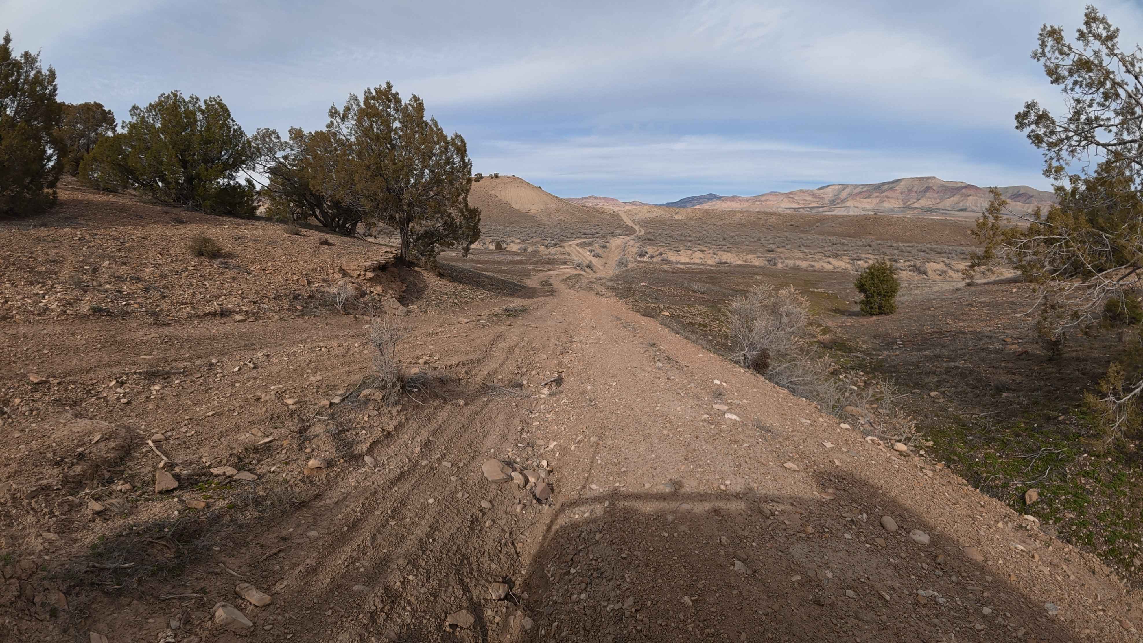
UTV/side-by-side trails in Colorado

Learn more about 16 Road, Coal Gulch
16 Road, Coal Gulch

16 Road, Coal Gulch

Take this trail through a beautiful, winding canyon. Early on, you will have the option to continue straight to an overlook, or take a left and view the end of the extreme 21 Road trail.…
Learn more about 16 Road, Coal Gulch
Total Miles
14.1
Tech Rating
3Easy
Best Time
Spring, Fall
Learn more about 171.0
171.0

171.0

This trail connects County Road 69 to the Sevenmile Creek Trail and offers easy travel with several camping opportunities along the way. Be sure to explore the side trails as they lead to more secluded…
Learn more about 171.0
Total Miles
2.3
Tech Rating
2Easy
Best Time
Summer, Fall
Learn more about 171.A
171.A

171.A

This trail connects County Road 69 to the Sevenmile Creek Trail. There is a large camping area at the west entrance of the trail, as well as several smaller sights throughout the route. Keep in…
Learn more about 171.A
Total Miles
1.9
Tech Rating
2Easy
Best Time
Summer, Fall
Learn more about 171.B
171.B

171.B

Road 171.B is a road that loops off of Sevenmile Creek. It will take about 30 minutes to complete the trail. Portions of this trail go through the burn scare from the Cameron Peak Fire…
Learn more about 171.B
Total Miles
1.8
Tech Rating
1Easy
Best Time
Summer

The onX Offroad Difference

onX Offroad combines trail photos, descriptions, difficulty ratings, width restrictions, seasonality, and more in a user-friendly interface. Available on all devices, with offline access and full compatibility with CarPlay and Android Auto. Discover what you’re missing today!