BLM 131
Total Miles
2.0
Technical Rating
Best Time
Spring, Summer, Fall
Trail Type
Full-Width Road
Accessible By
Trail Overview
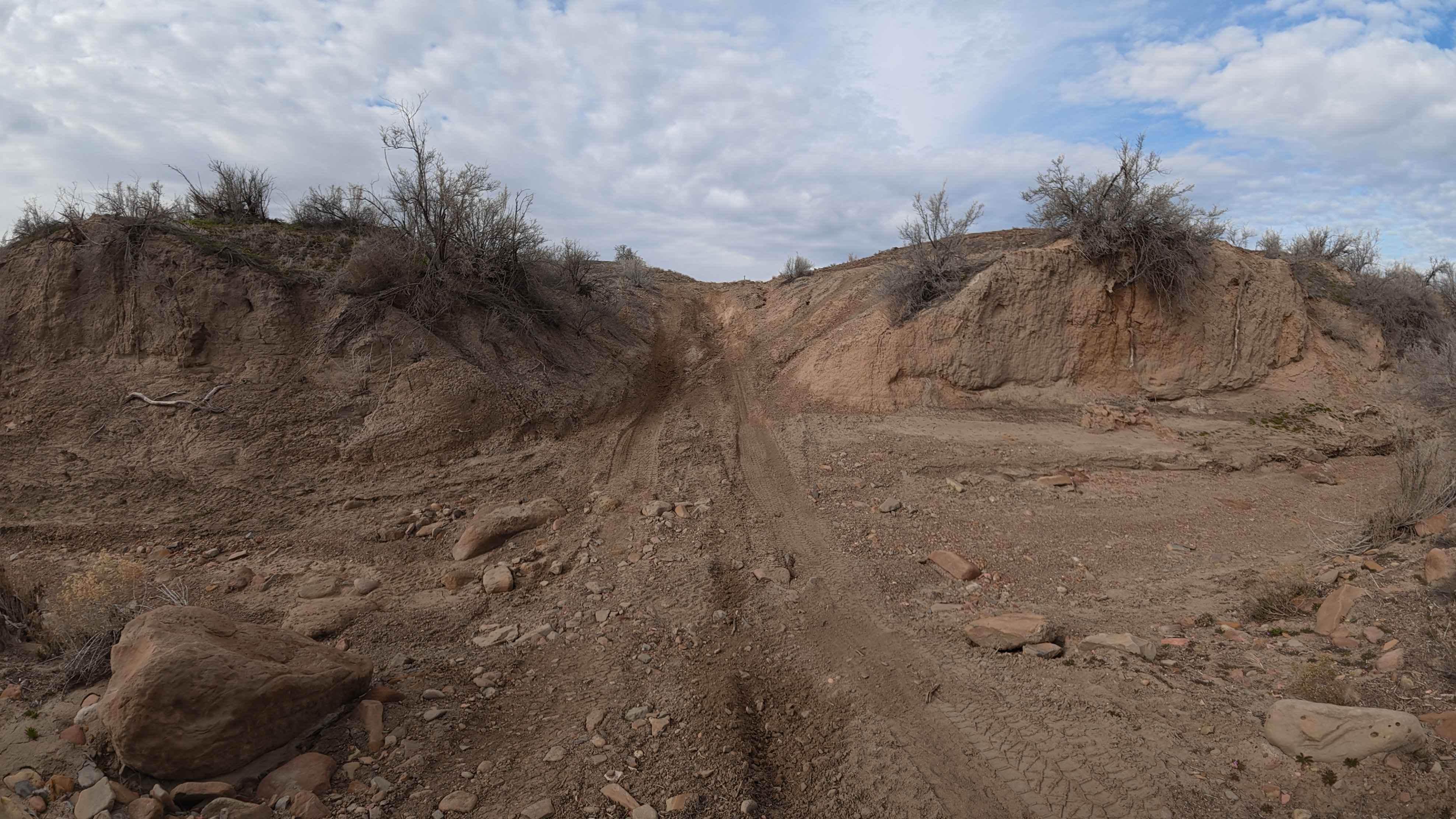
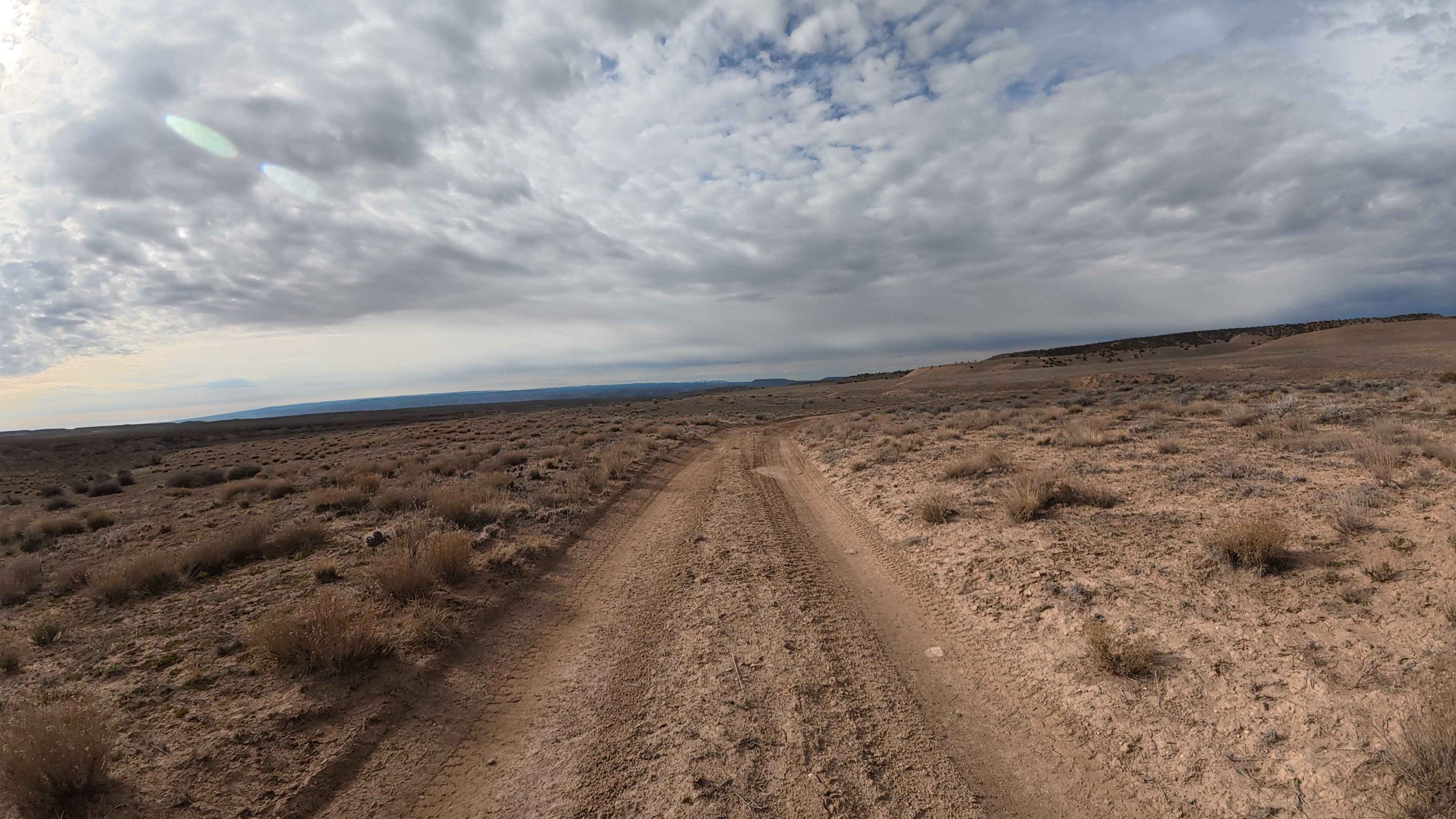
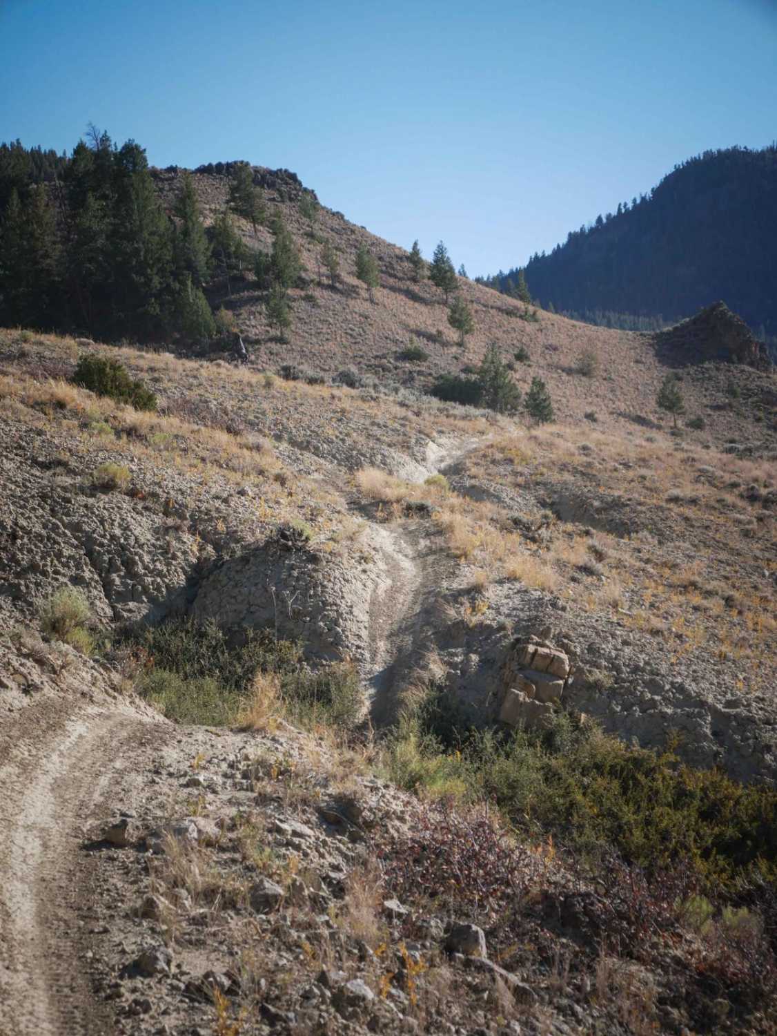
Branching off from BLM 132, BLM 131 is an incredibly unique and highly scenic 2-mile connector route that eventually deposits drivers right into the middle of BLM 130. For the vast majority of the journey, this trail is a remarkably smooth, relaxing, and straightforward dirt two-track cutting across the open desert scrub. Explorers will be treated to sweeping 360-degree views, featuring the dramatic canyon landscape just minutes away and beautiful mountain ranges resting on the distant horizon. Along this peaceful stretch, there are multiple convenient flat pull-offs perfectly suited for a scenic picnic, a quick hike, or a midday break. However, do not let the serene nature of the first 1.9 miles lull you into a false sense of security. Just 15 yards from the trail's terminus at BLM 130, the route presents a massive, severely rutted obstacle that completely redefines the drive. If you choose not to tackle this final hurdle, there is ample room to turn your vehicle around and treat the route as a scenic out-and-back. As always in this active corridor, remain highly vigilant for intersecting dirt bikes and horseback riders sharing the area.
Photos of BLM 131
Difficulty
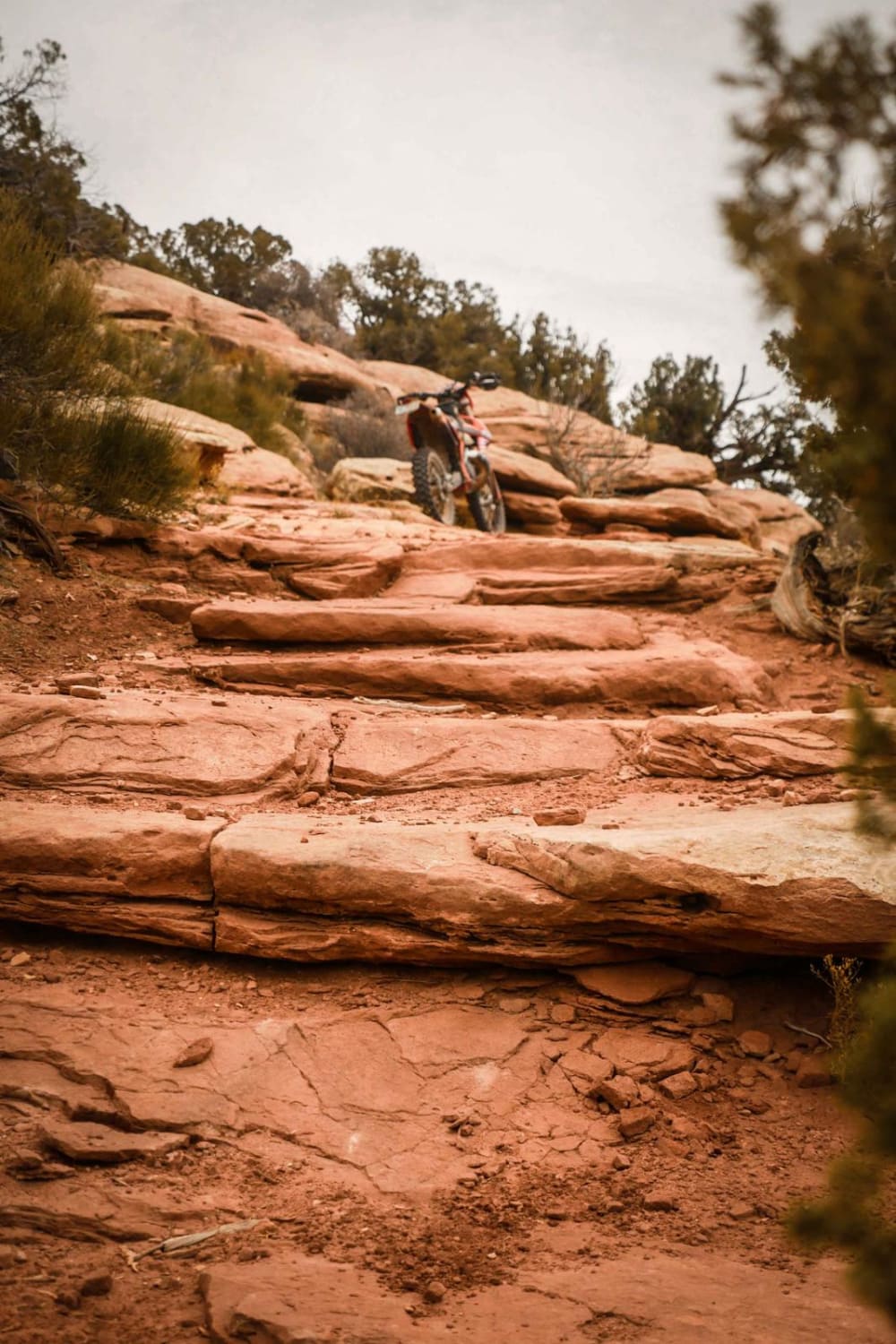
BLM 131 presents a highly unusual rating scenario: 99 percent of the track is a textbook Level 1 dirt road, but the final 15 yards immediately escalate the route to a formidable Level 5. This final, extremely steep and heavily eroded obstacle demands a capable 4x4 vehicle equipped with substantial ground clearance, aggressive off-road tires, an excellent departure angle, and ideally, locking differentials. Attempting this deeply rutted drop (or climb, depending on your direction of travel) will result in severe vehicle articulation, reliably forcing vehicles into a three-wheel stance with tires lifting two to three feet into the air. If your rig is not built for Level 5 terrain, you must use the available space to turn around before the obstacle. Finally, a strict weather warning applies to this entire region: absolutely do not enter this trail if rain is present or forecasted. The dirt transforms into a horrendous, impassable mud guaranteed to strand even the most capable trucks.
Status Reports
BLM 131 can be accessed by the following ride types:
- High-Clearance 4x4
- SUV
- SxS (60")
- ATV (50")
- Dirt Bike
BLM 131 Map
Popular Trails
Pass Creek Branch Road
Montezuma Basin
The onX Offroad Difference
onX Offroad combines trail photos, descriptions, difficulty ratings, width restrictions, seasonality, and more in a user-friendly interface. Available on all devices, with offline access and full compatibility with CarPlay and Android Auto. Discover what you’re missing today!