Wolford
Total Miles
2.4
Technical Rating
Best Time
Summer, Spring, Fall
Trail Type
Single Track
Accessible By
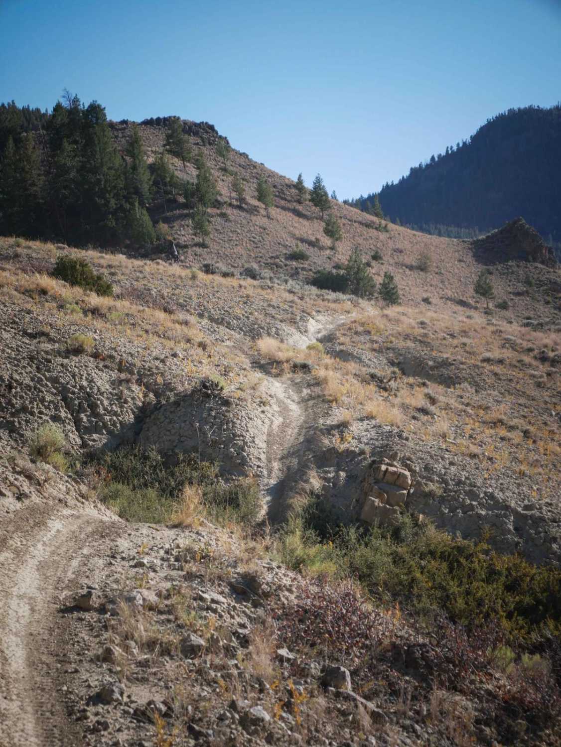
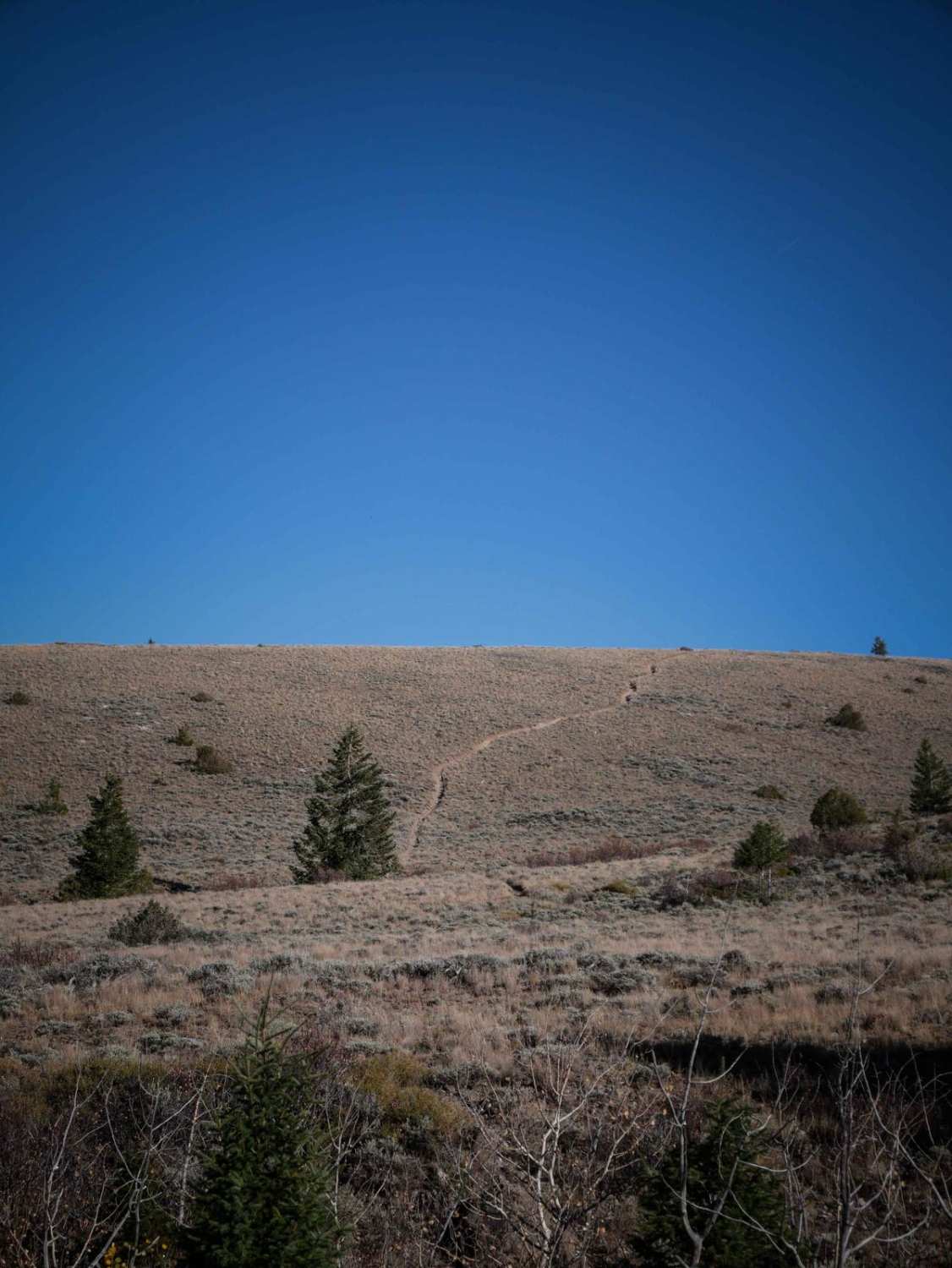
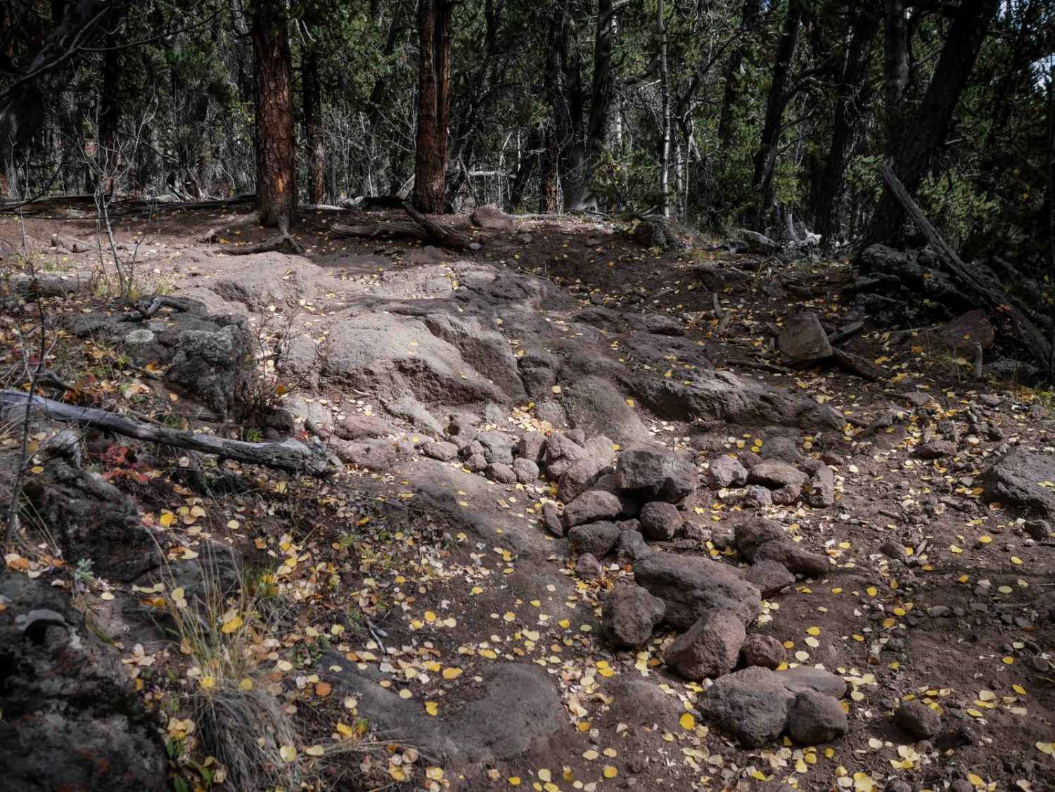
Trail Overview
This single track flows through the Wolford Riding Area for 2.5 miles, with scenic views of the Wolford Reservoir. The second end starts on the dirt road north of the 310 single track, heading north in a flat sagebrush valley. It dips in and out of a few deep ravines with more tree coverage and goes past scenic rock outcroppings. It gets up atop the mesas and runs along a ridge line overlooking the reservoir with sparse pine trees. The hills in and out of the ravines are steep, with some loose rock, and sometimes are V-bottom dips that will add a bit of difficulty. Then, the part of the trail is speedy and flowy over the rolling hills and sagebrush, and it doubles back south to another dirt road.
Photos of Wolford
Difficulty
The majority of this single track is relatively easy, but it does have a few steeper climbs in and out of ravines that could be a bit more challenging for newer riders.
Status Reports
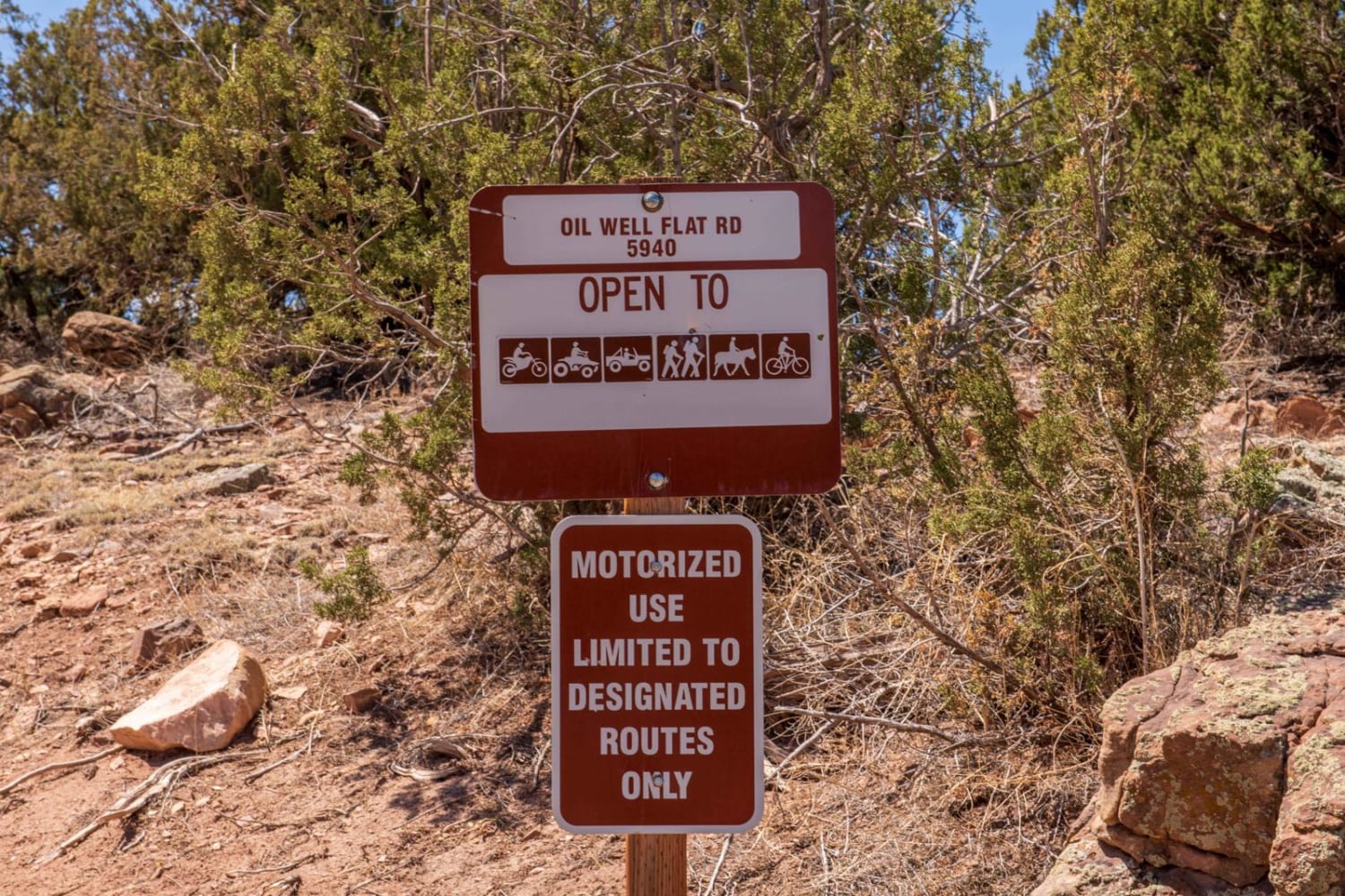
Wolford can be accessed by the following ride types:
- Dirt Bike
Wolford Map
Popular Trails

Oil well Flats RD BLM 5941
La Garita Creek Cutoff ATV
The onX Offroad Difference
onX Offroad combines trail photos, descriptions, difficulty ratings, width restrictions, seasonality, and more in a user-friendly interface. Available on all devices, with offline access and full compatibility with CarPlay and Android Auto. Discover what you’re missing today!