BLM 281
Total Miles
3.1
Technical Rating
Best Time
Spring, Summer, Fall
Trail Type
Full-Width Road
Accessible By
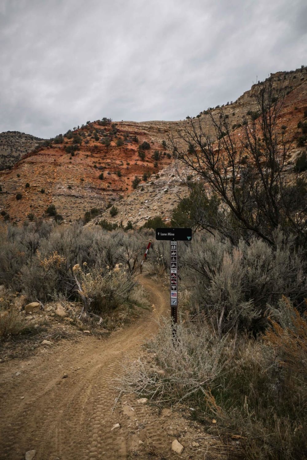
Trail Overview
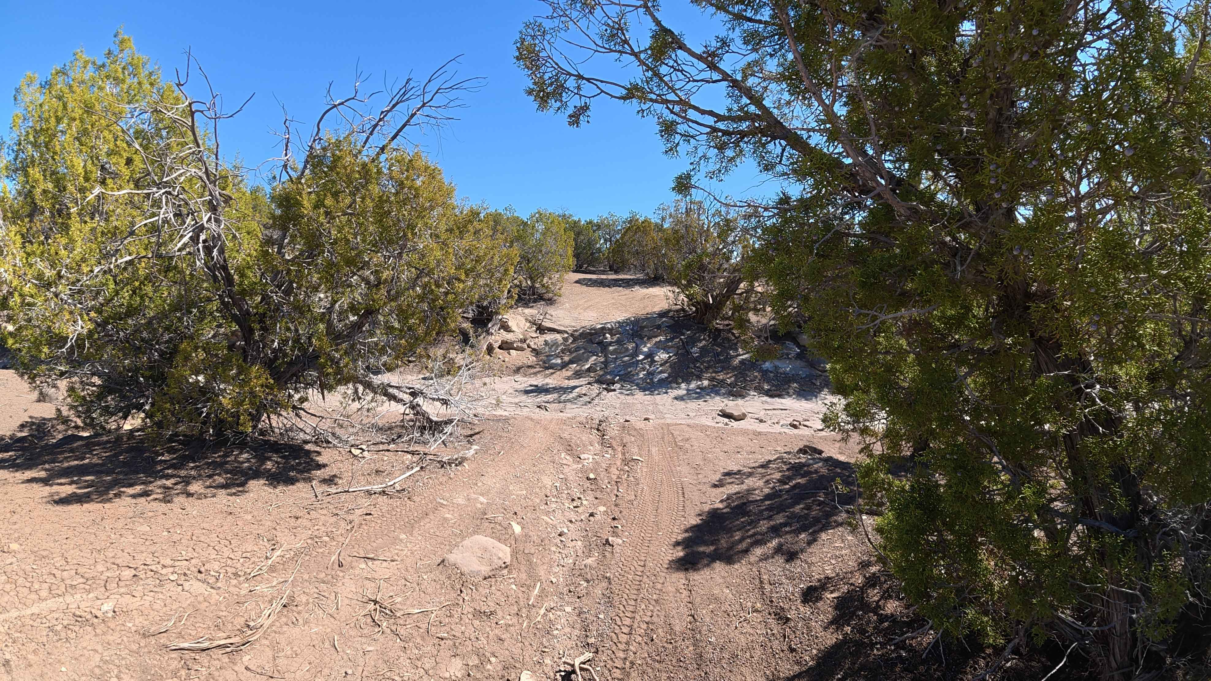
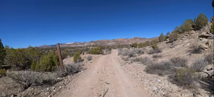
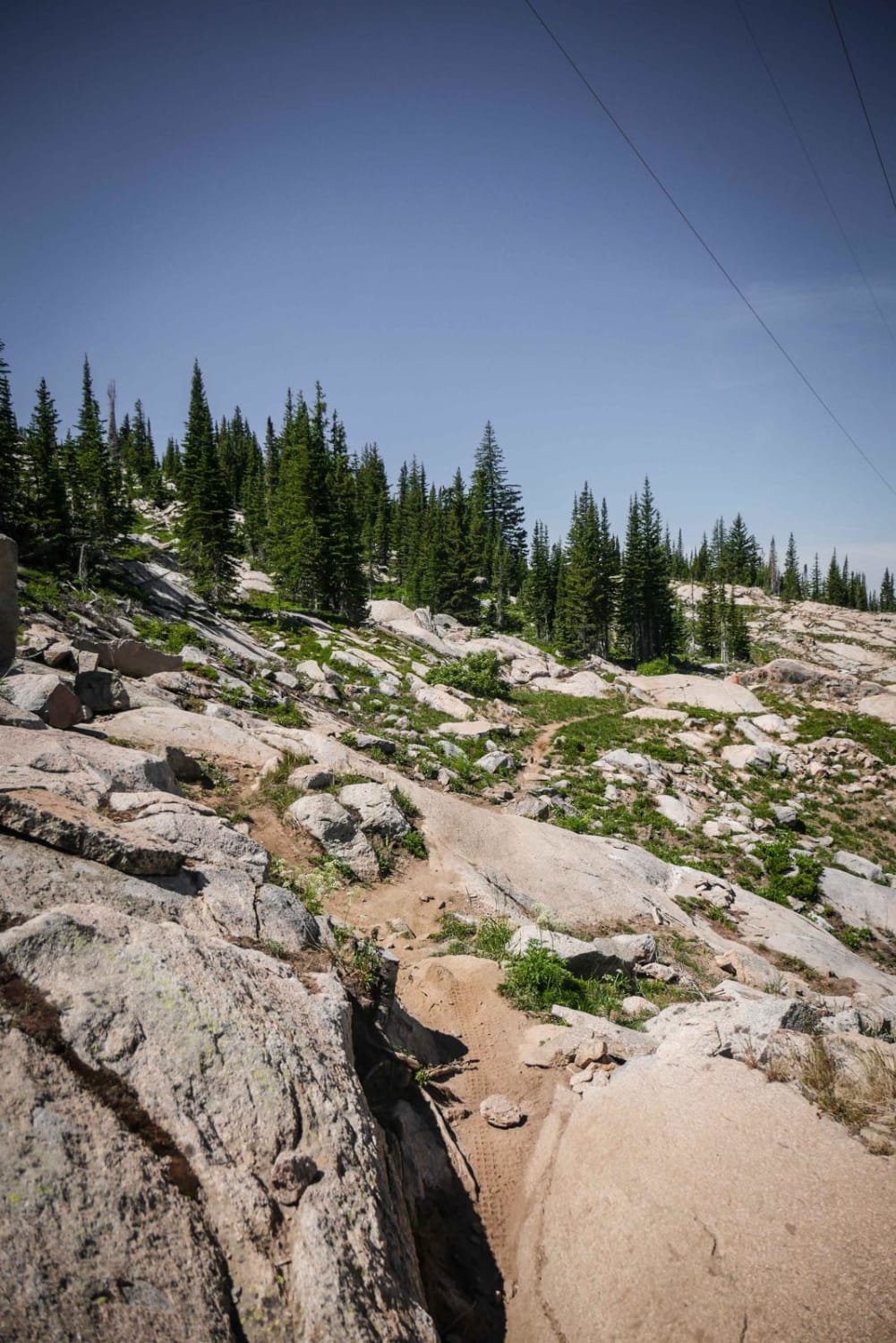
BLM 281 is an incredibly scenic, multi-use 3.2-mile route that transitions quickly from civilization into rugged desert terrain. The trail begins just off a 95% paved road heading out of town. Because the unmarked entrance sits discreetly between two private homes, you must rely heavily on your GPS to verify the trailhead and proceed with the utmost respect for the local residents. Once on the dirt, the trail immediately shows persistent 8- to 12-inch erosion ruts. As you progress, the landscape opens up to provide phenomenal 360-degree views of the Western Slope, routing you within 10 to 40 yards of beautiful, towering rock formations that are perfect for a quick foot exploration. During the first five minutes of the drive, you must navigate several dry wash crossings that demand a solid 8-to-10-inch approach angle. The route features multiple large, flat clearings on either side of the track, offering excellent dispersed camping that can accommodate 3 to 8 trucks. At the 1-mile mark, the road narrows significantly; expect inevitable pinstriping from encroaching branches and thick desert shrubs. Further down, you will encounter a severe 4-foot rocky decline. Mapping Note: At exactly 1.9 miles, the provided GPS track briefly deviates to the right for 10 yards before backtracking; please ignore this error. At this 1.9-mile intersection, you are presented with three paths. The middle and right routes are completely washed out and impassable for 95% of vehicles. You must take the left route, which still requires 4WD and careful spotting to navigate successfully. Always watch for dirt bike traffic along the entire route.
Photos of BLM 281
Difficulty
While portions of BLM 281 are straightforward, the specific obstacles firmly elevate this to a Level 4 Moderate route. The trail features immediate 8-to-12-inch ruts, but the true test lies at the mid-trail obstacle: a steep, 4-foot decline flanked by large, hazardous rocks. Navigating this drop requires a solid rear departure angle and careful driving; it is highly recommended to exit the vehicle and walk this obstacle to pick the safest line and avoid bumper damage. Additionally, the washouts at the 1.9-mile intersection require a true 4WD system, high clearance, and deliberate wheel placement on the left-hand bypass. Standard AWD crossovers will easily exceed their limits here. A strict severe weather warning applies to this entire area: absolutely do not enter this trail if it has rained recently or if rain is forecasted. The local dirt will turn into an impassable mud guaranteed to strand even heavily modified 4x4 trucks.
Status Reports
BLM 281 can be accessed by the following ride types:
- High-Clearance 4x4
- SUV
- SxS (60")
- ATV (50")
- Dirt Bike
BLM 281 Map
Popular Trails
Clover Creek Road
NF 502-1 Phoenix Park Waterfall
The onX Offroad Difference
onX Offroad combines trail photos, descriptions, difficulty ratings, width restrictions, seasonality, and more in a user-friendly interface. Available on all devices, with offline access and full compatibility with CarPlay and Android Auto. Discover what you’re missing today!