NF 502-1 Phoenix Park Waterfall
Total Miles
2.1
Technical Rating
Best Time
Spring, Summer, Fall
Trail Type
High-Clearance 4x4 Trail
Accessible By
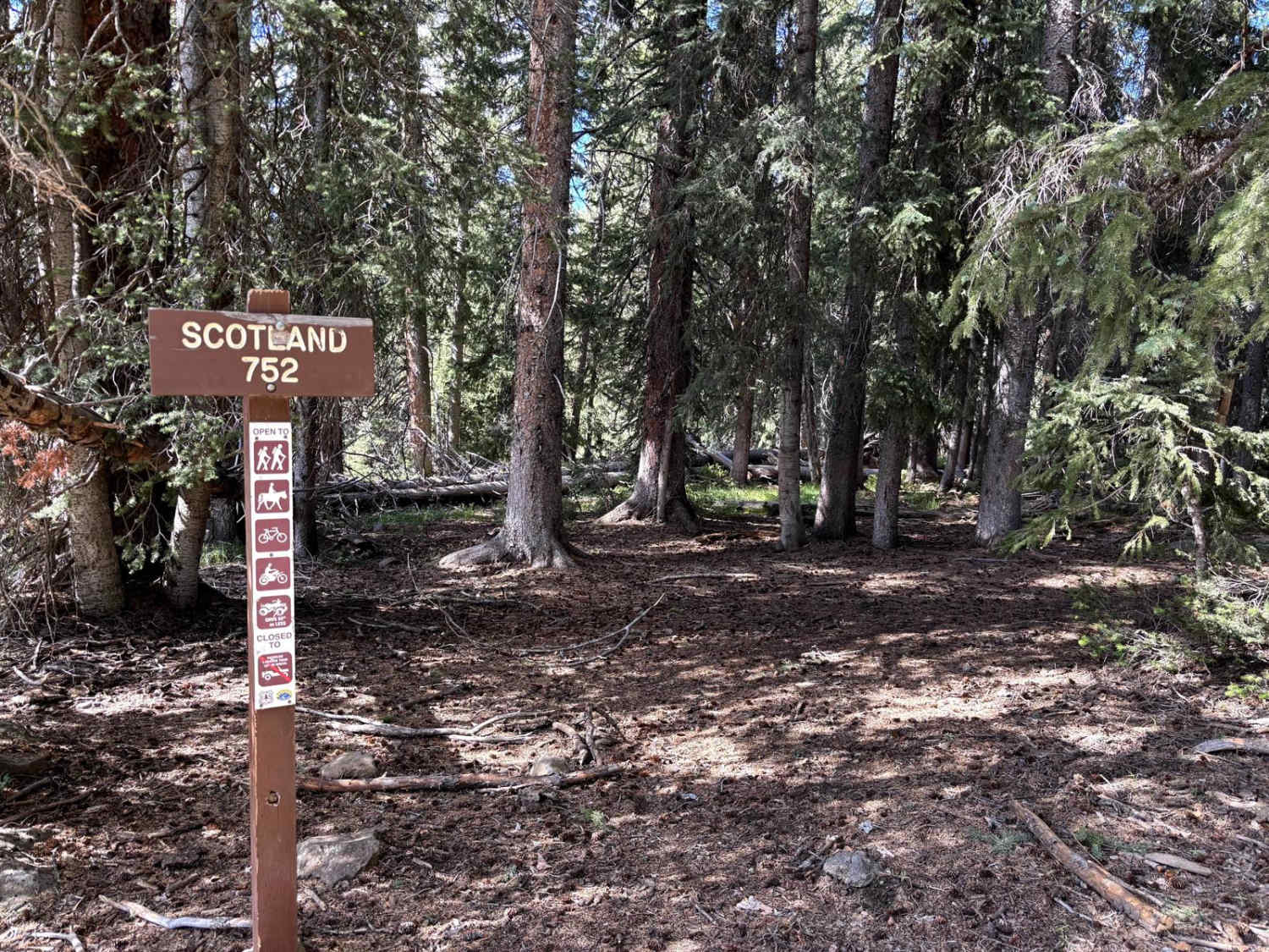
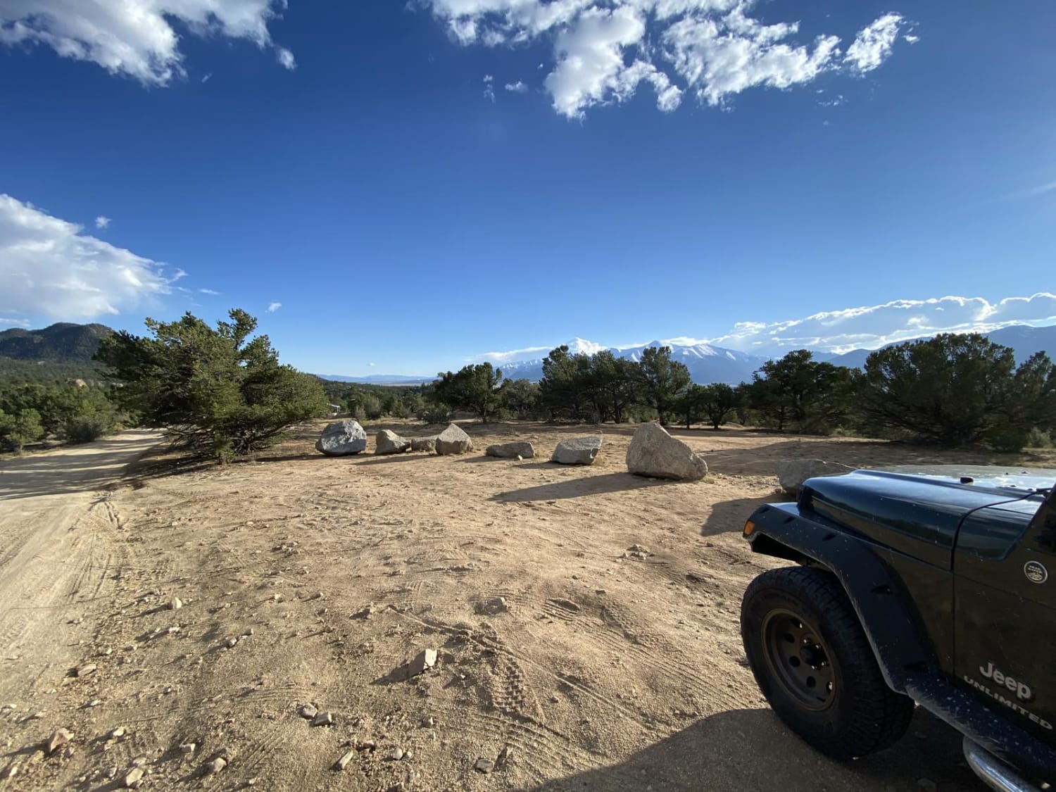
Trail Overview
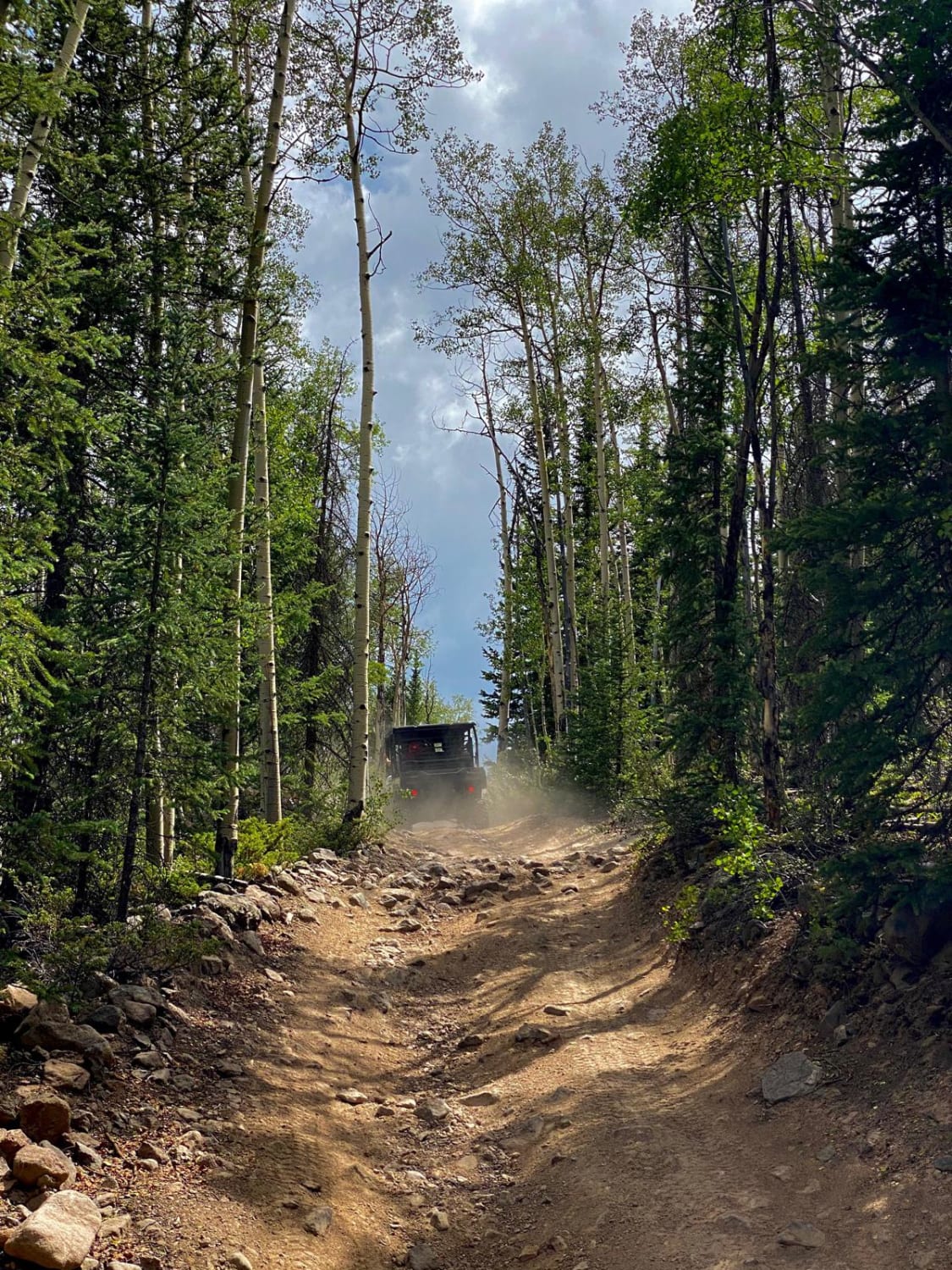
This trail forks off of the upper end of East Willow Creek Road. It starts out a little rocky, but once you leave that section, the road becomes more dirt with a few fun stream crossings. The trail ends at an old cabin with the falls trailhead. About a 3/4 mile hike to the falls, uphill at the end. No cell service. Beautiful scenery.
Photos of NF 502-1 Phoenix Park Waterfall
Difficulty
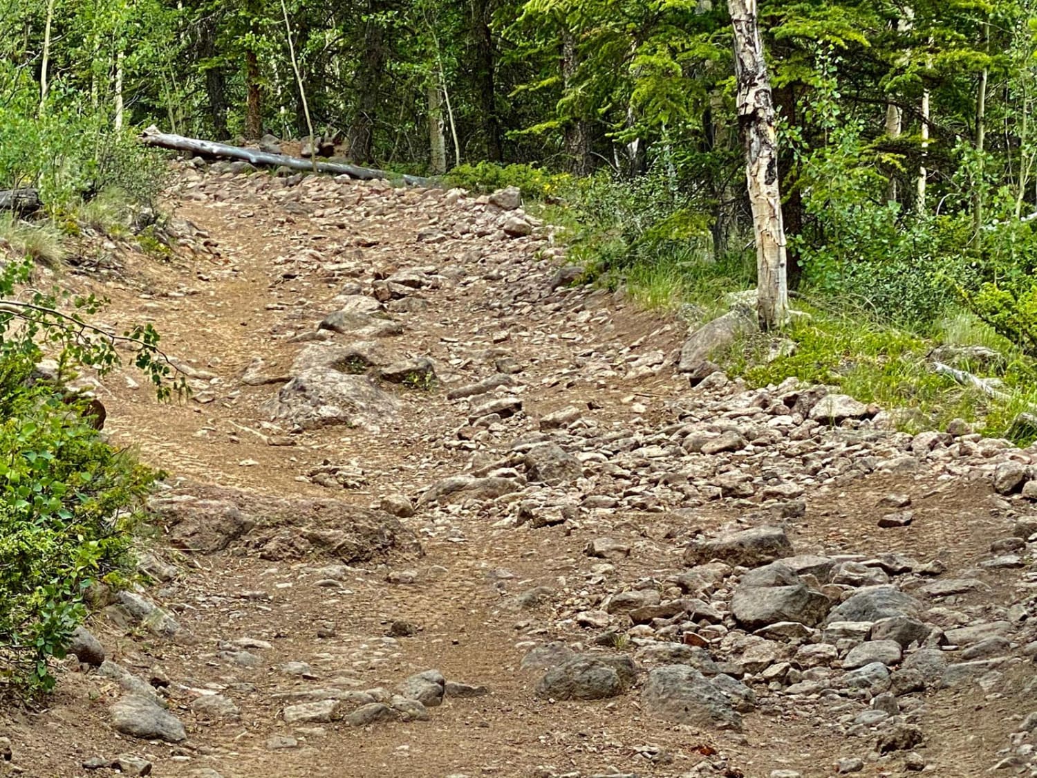
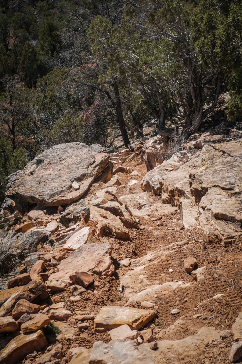
The trail is moderate in the beginning with a lot of rocky sections. Then it becomes dirt, with a few rocks and several stream crossings.
Status Reports
NF 502-1 Phoenix Park Waterfall can be accessed by the following ride types:
- High-Clearance 4x4
- ATV (50")
- Dirt Bike
NF 502-1 Phoenix Park Waterfall Map
Popular Trails
Bald Mountain Gulch 1
The onX Offroad Difference
onX Offroad combines trail photos, descriptions, difficulty ratings, width restrictions, seasonality, and more in a user-friendly interface. Available on all devices, with offline access and full compatibility with CarPlay and Android Auto. Discover what you’re missing today!