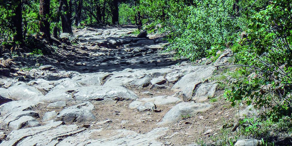
Chihuahua Gulch
Total Miles
2.1
Technical Rating
Best Time
Summer, Fall
Trail Type
Full-Width Road
Accessible By
Trail Overview
Grays and Torreys peaks tower above this short trail at 14,000 feet. Hikers often use the road to reach the trailhead. Stay on the trail and be considerate. Trail is closed from November 23 to May 20.
Photos of Chihuahua Gulch
Difficulty
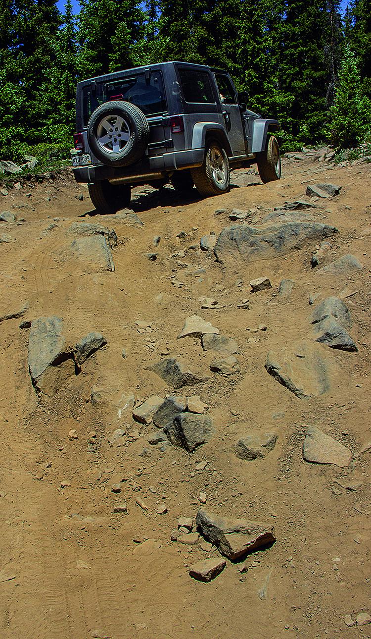
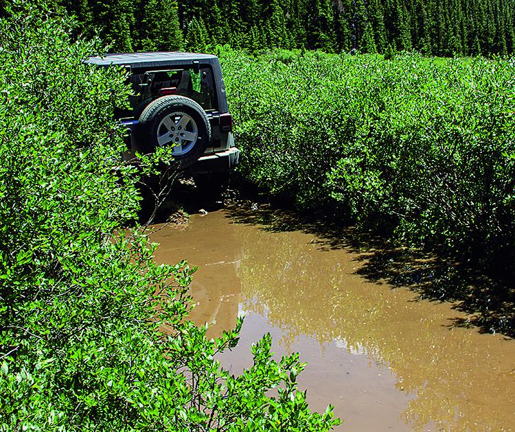
Difficult. Mostly moderate, but a couple of boulder fields we rank as marginally difficult. We did it in our stock Wrangler without lockers, but it took some very careful tire placement. Tight brush in places.
Status Reports
Chihuahua Gulch can be accessed by the following ride types:
- High-Clearance 4x4
- SUV
- SxS (60")
- ATV (50")
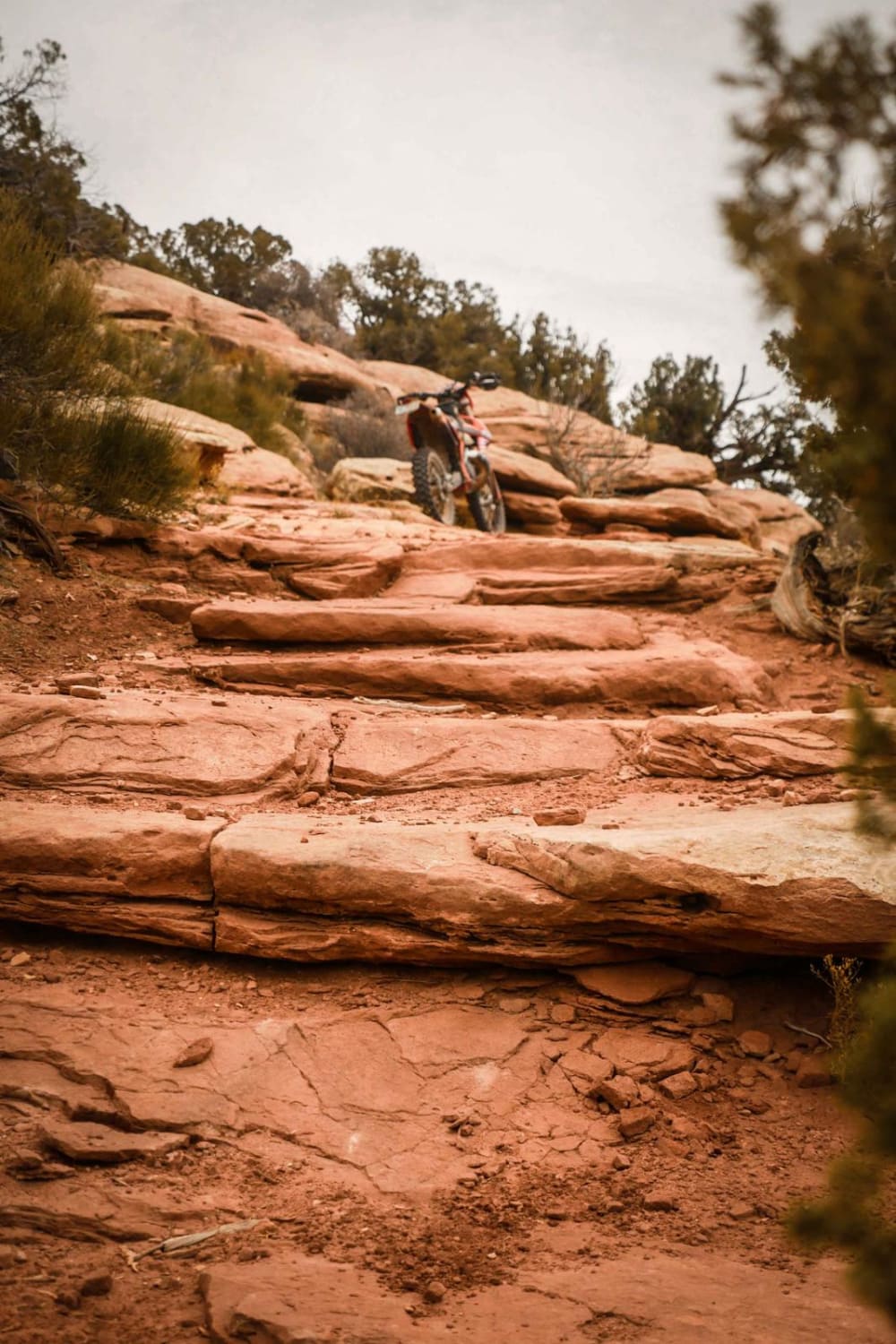
- Dirt Bike
Chihuahua Gulch Map
Popular Trails
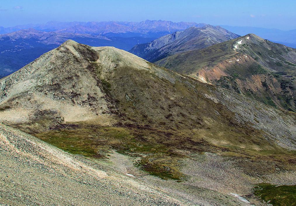
Peak 10 Breckenridge
The onX Offroad Difference
onX Offroad combines trail photos, descriptions, difficulty ratings, width restrictions, seasonality, and more in a user-friendly interface. Available on all devices, with offline access and full compatibility with CarPlay and Android Auto. Discover what you’re missing today!
