643 ATV Trail
Total Miles
2.6
Technical Rating
Best Time
Summer, Fall
Trail Type
50" Trail
Accessible By
Trail Overview
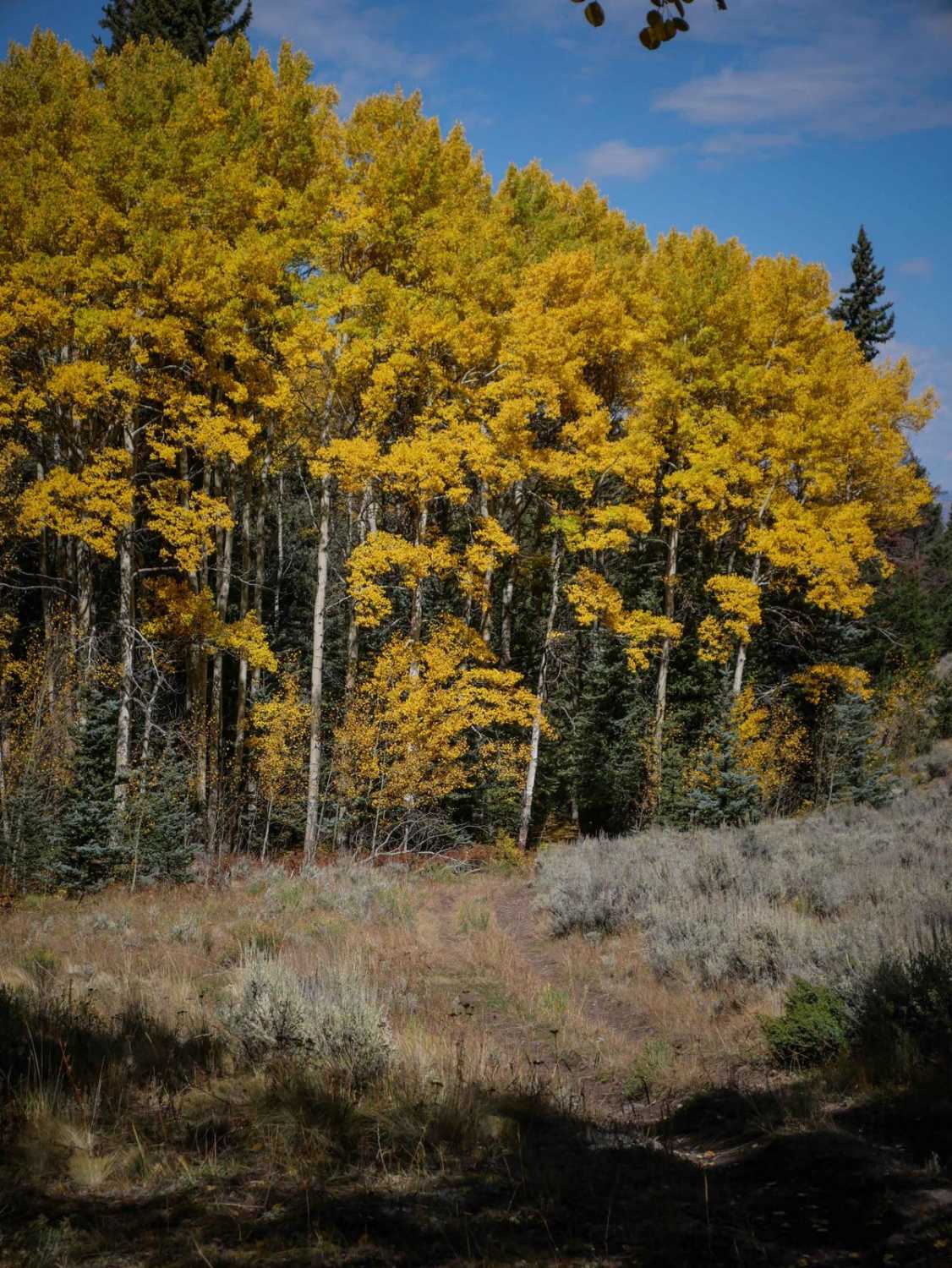
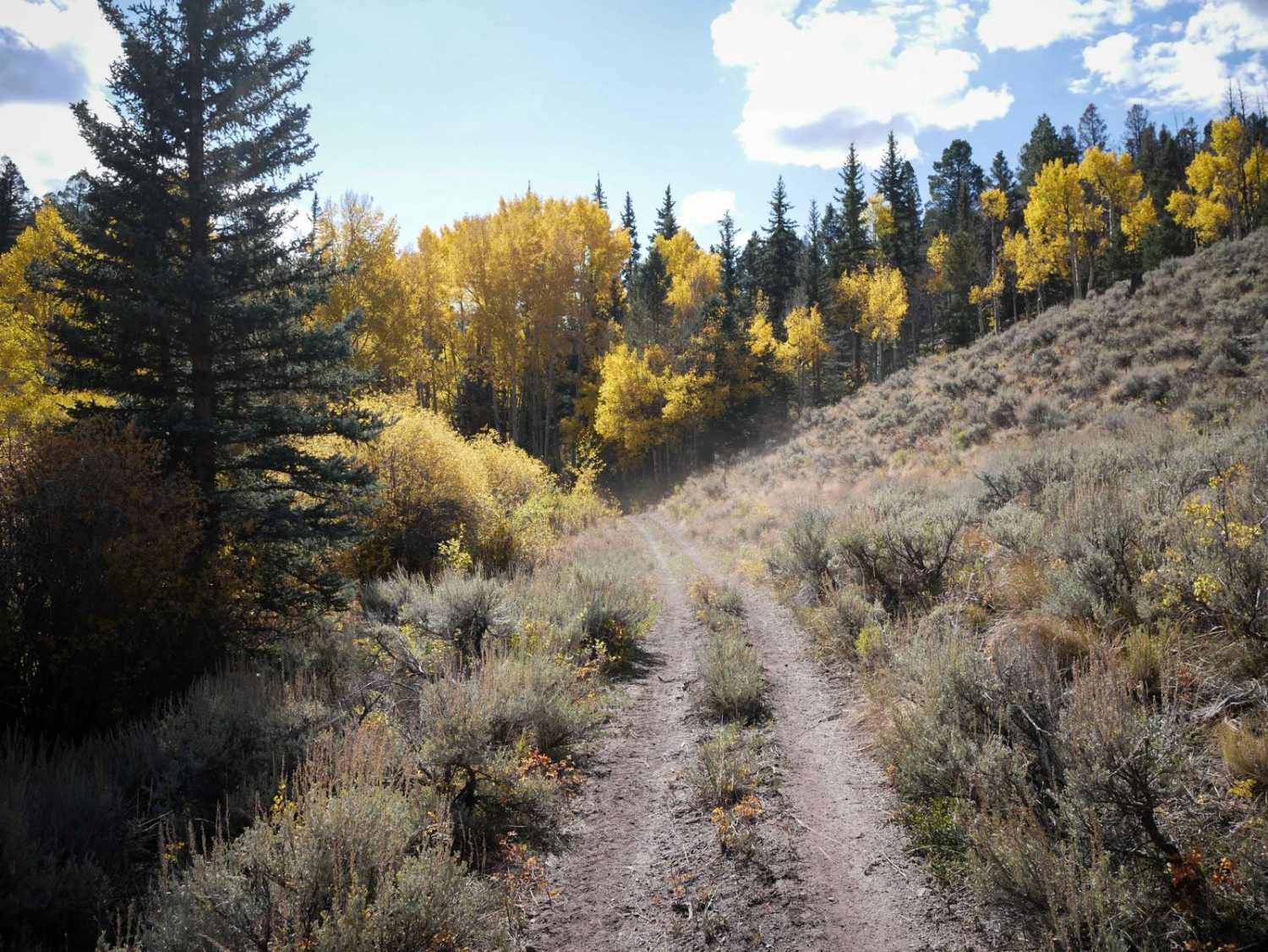
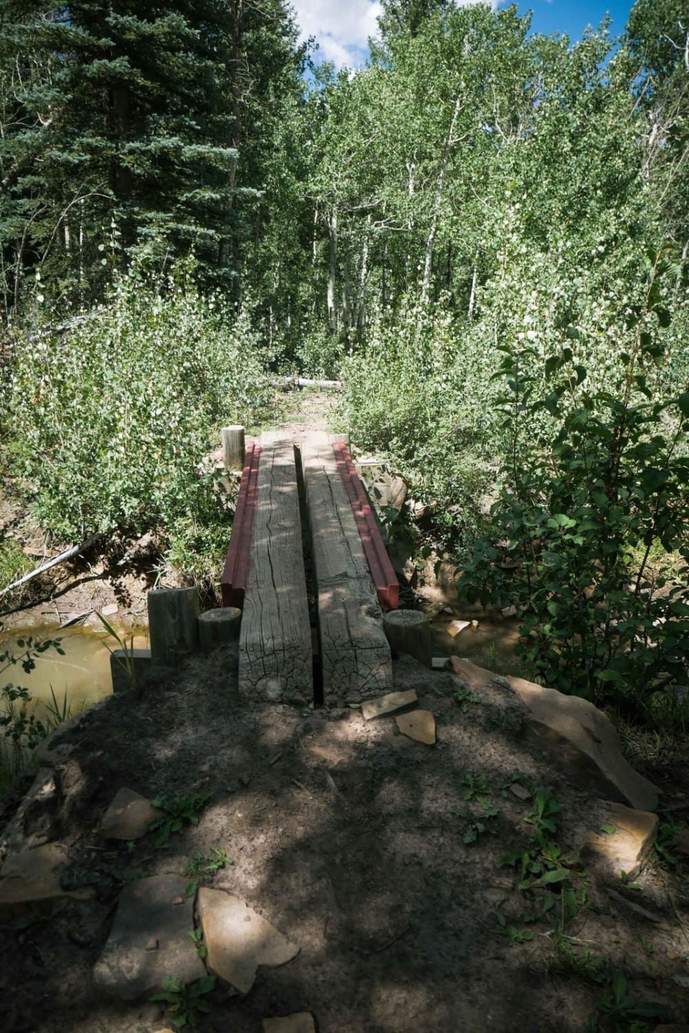
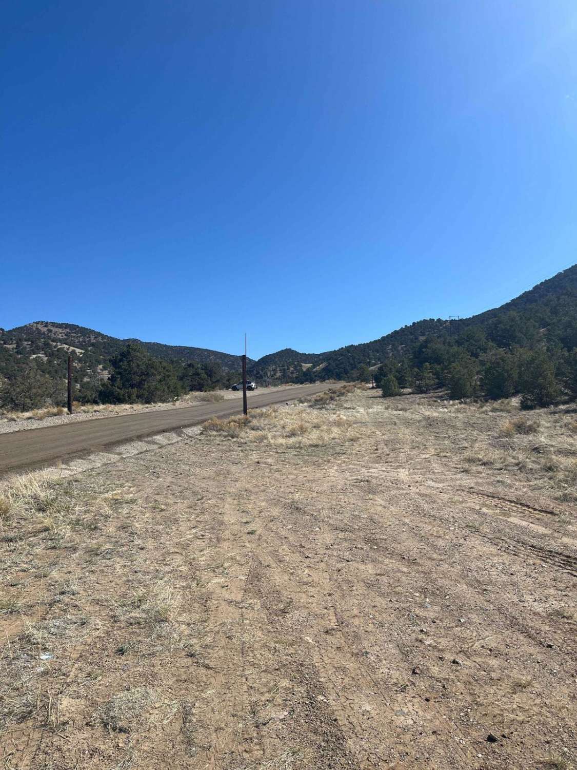
From the south entrance, the 643 ATV trail starts in a pine tree forest on a wide and easy dirt trail with a bit of loose rock. It goes through a gate, beautiful aspen groves, along sagebrush-covered hillsides, and parallels the Left Hand Barrett Creek. The majority of the trail is very easy, staying wide and smooth, with not many rocks, and no big obstacles. The south end has a couple of steeper spots as it climbs up the mountainside, and then it gradually descends as it heads north. It's a really beautiful trail in fall when the aspens are changing colors. This makes a fun ride through the Gunnison National Forest by taking this trail south to connect to the Left Hand ATV Trail and Razor Creek ATV trail.
Photos of 643 ATV Trail
Difficulty
The majority of the trail is very easy. There are a couple of rockier spots that are rutted with roots and small loose rocks, but it's nothing overly challenging. Most 50" vehicles should be able to accomplish this trail, and it's good for any skill level.
Status Reports
643 ATV Trail can be accessed by the following ride types:
- ATV (50")
- Dirt Bike
643 ATV Trail Map
Popular Trails

First Notch Connect

Green Canyon
Morrison Trail (Part 2)
The onX Offroad Difference
onX Offroad combines trail photos, descriptions, difficulty ratings, width restrictions, seasonality, and more in a user-friendly interface. Available on all devices, with offline access and full compatibility with CarPlay and Android Auto. Discover what you’re missing today!