Browns Creek
Total Miles
7.4
Technical Rating
Best Time
Fall, Summer, Spring
Trail Type
Full-Width Road
Accessible By
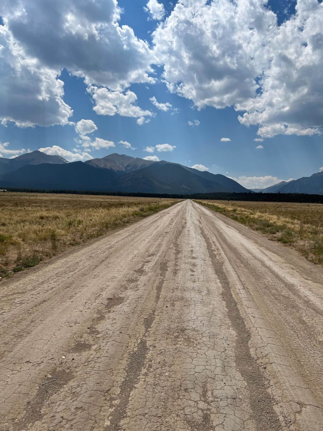
Trail Overview
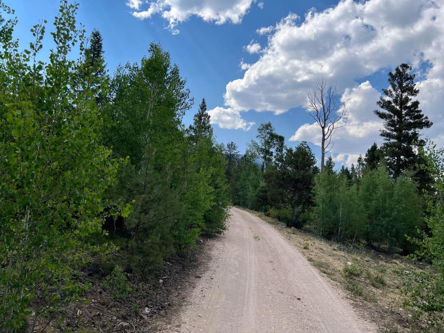
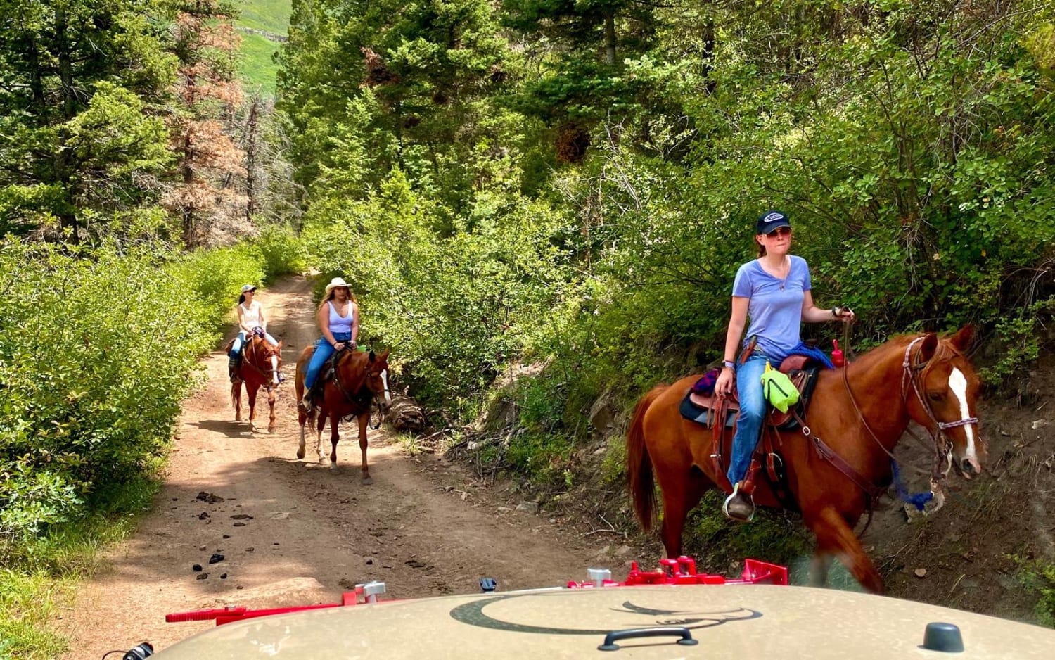
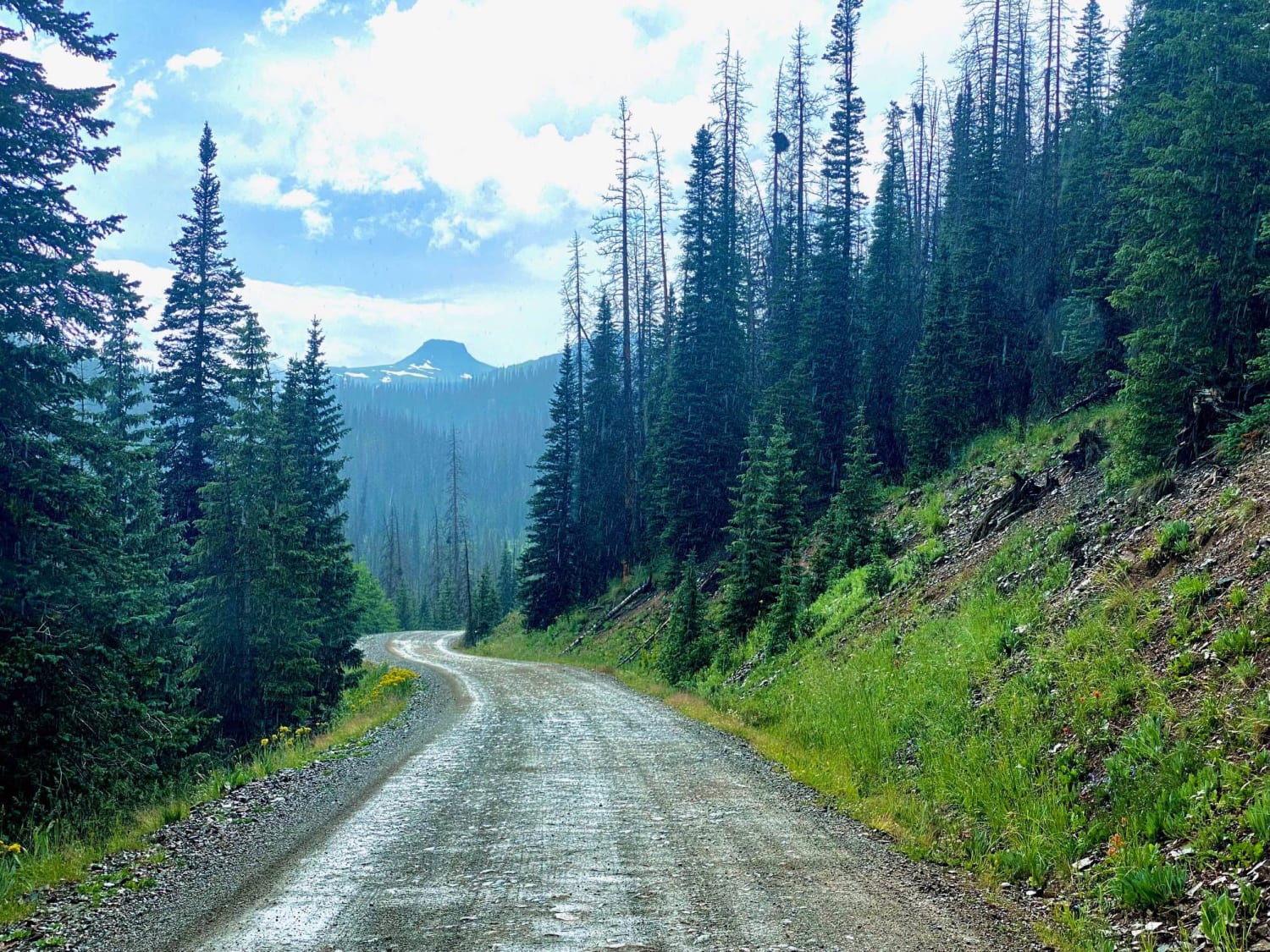
This route starts where CR 270 enters BLM land and turns into CR 272. Continue along CR 272 as it goes from a two-lane dirt road and enters Forest Service land. Amazing views of Mount Princeton and Mount Antero are available for the first part of this route. The road reaches an intersection and the route continues to the left, toward Browns Creek Trailhead. The trail starts off fairly mild and wide for the first half, but after the turn, the road becomes single-lane and is bumpy and rocky throughout. Multiple dispersed campsites can be found along the route and the Browns Creek Trail provides access to Mount Antero (alternate route) and the Colorado Trail.
Photos of Browns Creek
Difficulty
The road narrows as the route progresses.
Browns Creek can be accessed by the following ride types:
- High-Clearance 4x4
- SUV
- SxS (60")
- ATV (50")
- Dirt Bike
Browns Creek Map
Popular Trails
Culver Creek - County Road 14A
Park Creek South-Fr Rd 380
Michigan Hill
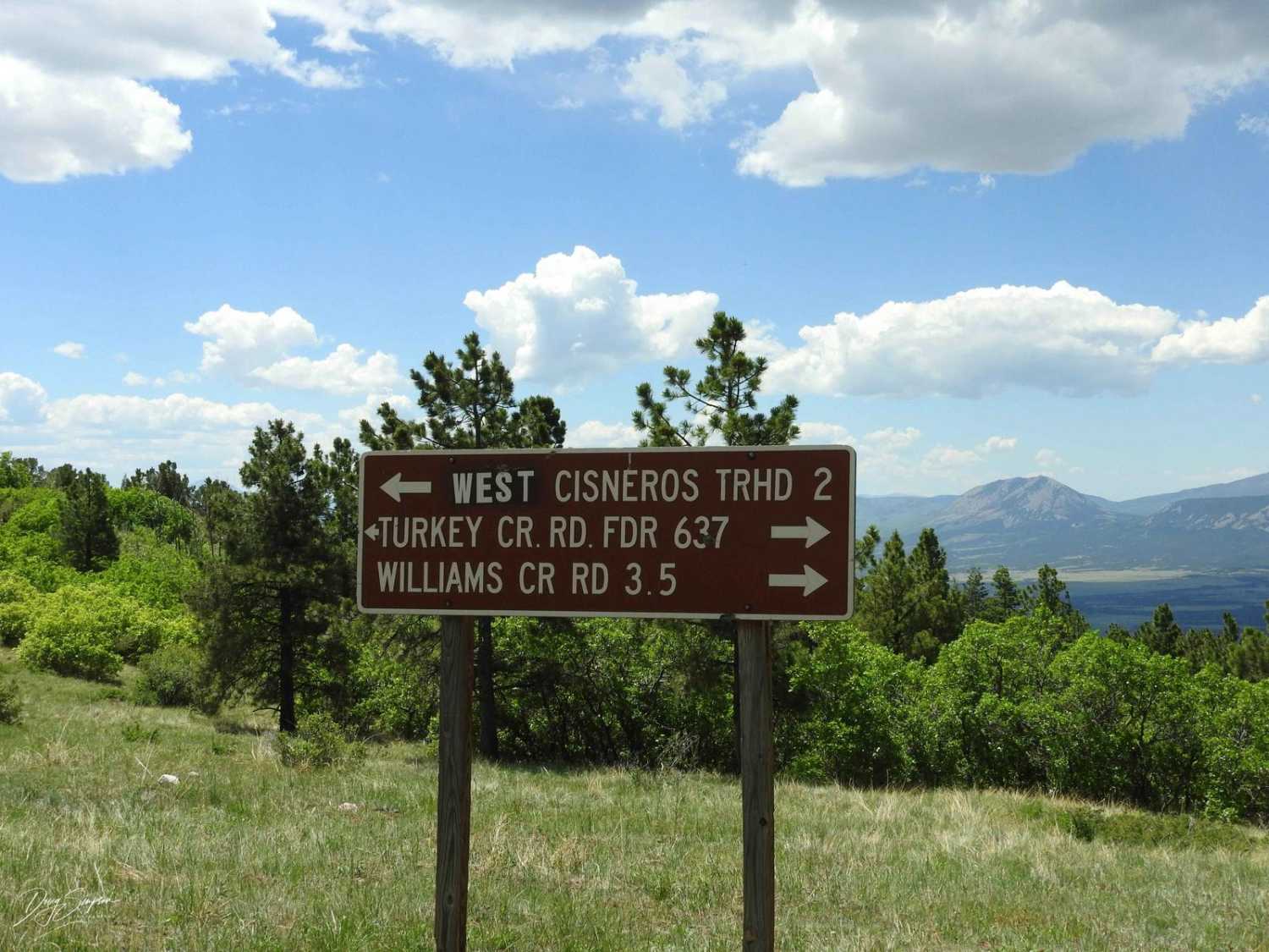
Turkey Creek Forest Road 637
The onX Offroad Difference
onX Offroad combines trail photos, descriptions, difficulty ratings, width restrictions, seasonality, and more in a user-friendly interface. Available on all devices, with offline access and full compatibility with CarPlay and Android Auto. Discover what you’re missing today!