Chattanooga Trail
Total Miles
1.8
Technical Rating
Best Time
Summer, Fall
Trail Type
Full-Width Road
Accessible By
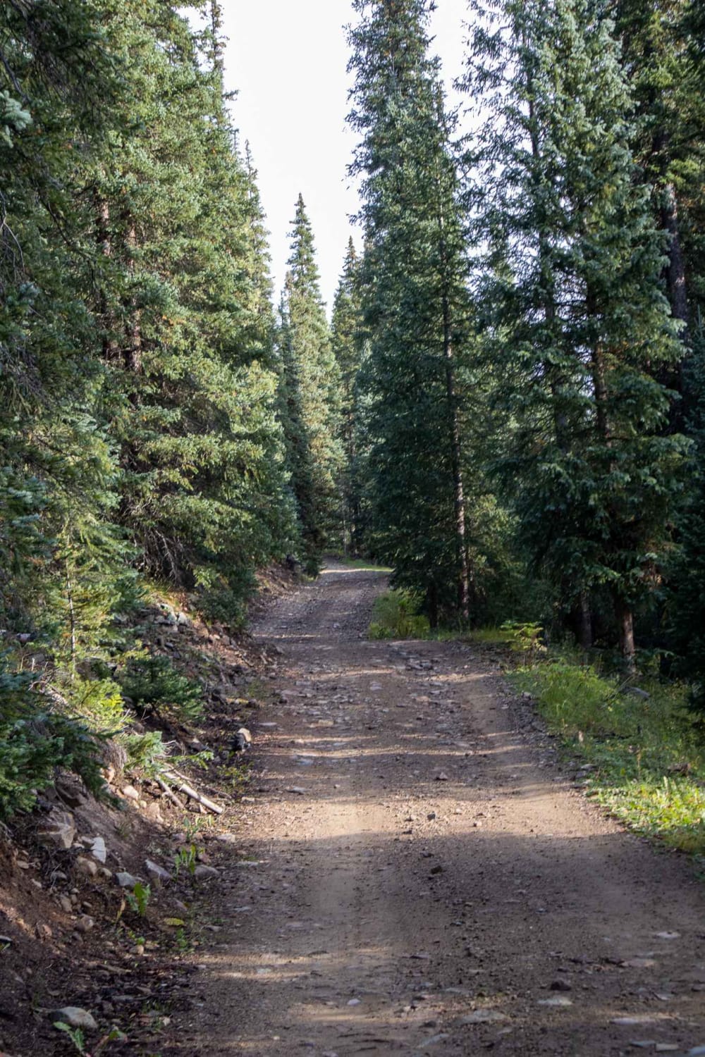
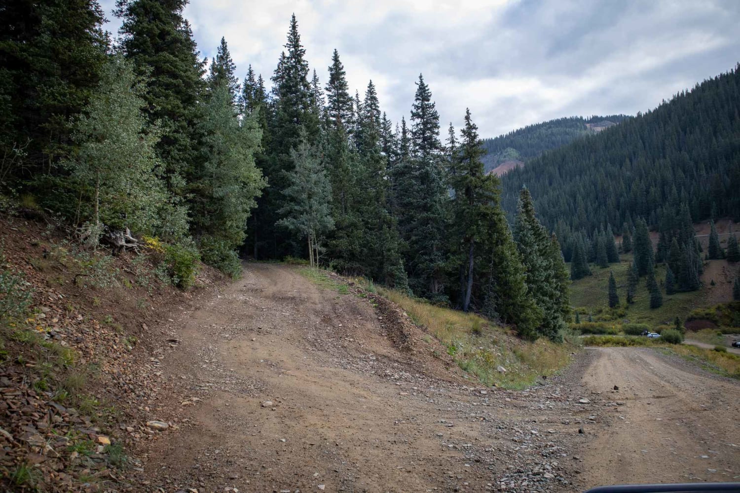
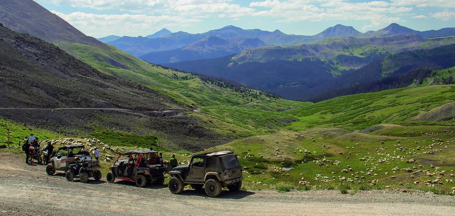
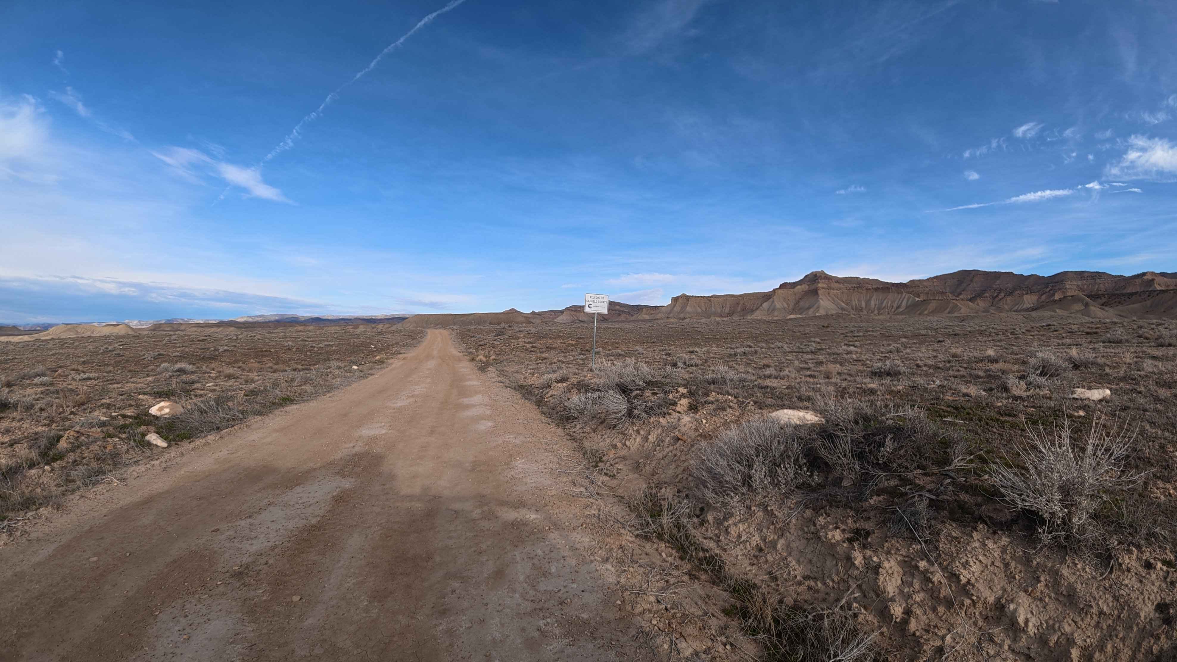
Trail Overview
This road will lead to the trailhead for the Columbine Lake hike. Vehicles are often parked on the shoulder, so use caution. The beginning of the Northern part of the trail will have you crossing Mineral Creek, which should typically only be a few inches deep, but there is potential for higher water levels possible in early seasons or post-rain. Towards the Southern half will be some steeper grades in the trail. Beautiful views overlooking the Million Dollar Highway.
Photos of Chattanooga Trail
Difficulty
Water crossing at the North end of the trail with steeper mountain grades towards the South part of the trail.
Status Reports
Chattanooga Trail can be accessed by the following ride types:
- High-Clearance 4x4
- SUV
- SxS (60")
- ATV (50")
- Dirt Bike
Chattanooga Trail Map
Popular Trails
Stony Pass, Kite Lake

Kendall Mountain

Mitchell Road
The onX Offroad Difference
onX Offroad combines trail photos, descriptions, difficulty ratings, width restrictions, seasonality, and more in a user-friendly interface. Available on all devices, with offline access and full compatibility with CarPlay and Android Auto. Discover what you’re missing today!