Candy Cane Loop
Total Miles
3.8
Technical Rating
Best Time
Fall, Spring
Trail Type
Single Track
Accessible By
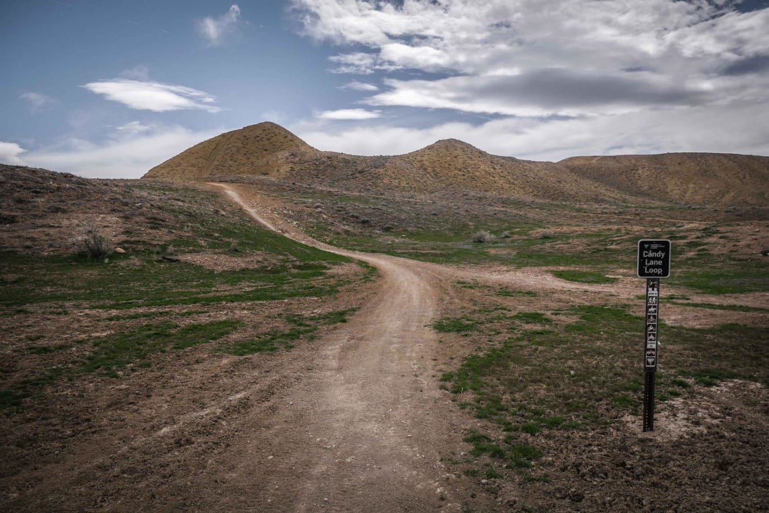
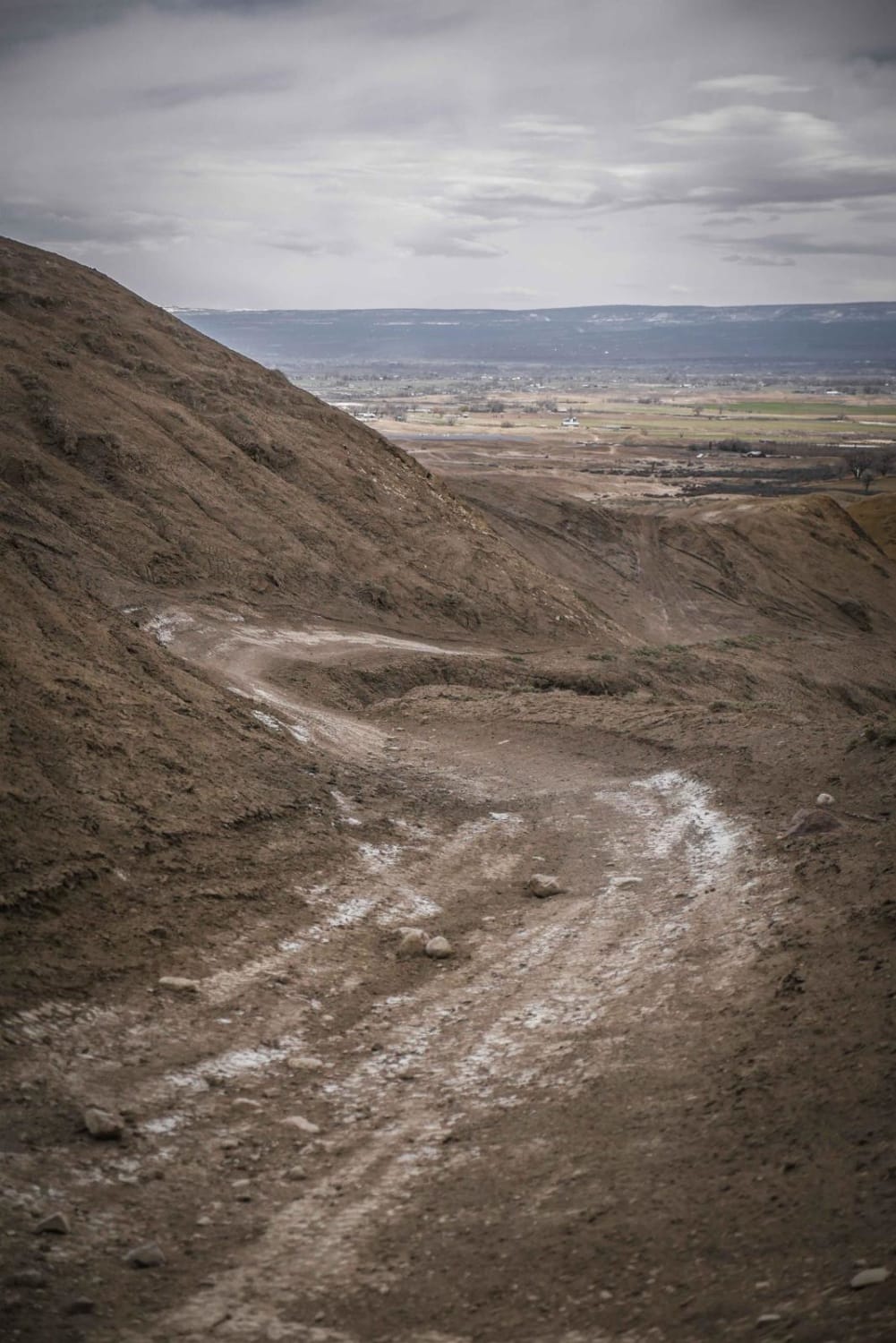
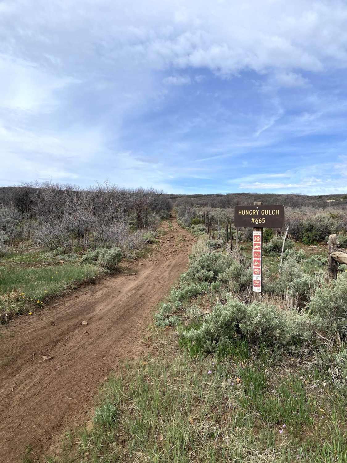
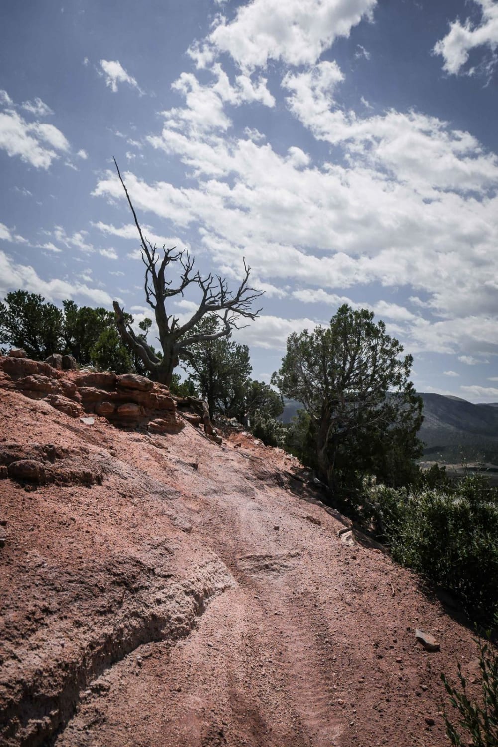
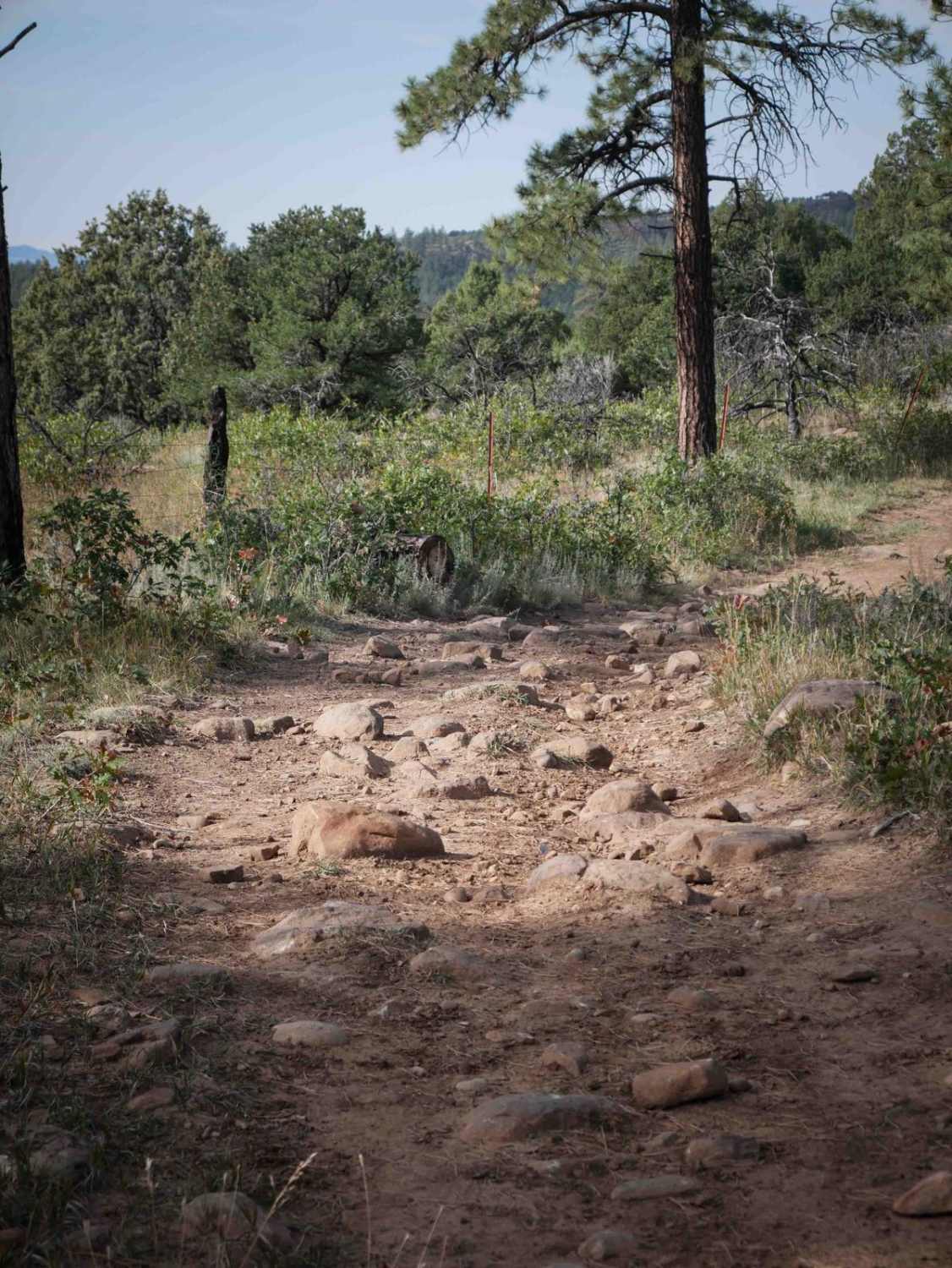
Trail Overview
Candy Cane Loop is an adobe ridge line loop for 50" vehicles in Peach Valley, but has some spots that may be quite narrow for an ATV. Going clockwise, it starts as a winding and whooped out two tracks that meanders on the tops of the adobe clay hills. It has several off camber banked corners in the beginning. There are lots of tracks and intersections on the adobe hills that can be confusing, but the Candy Cane loop is marked with a trail sign at almost all of the splits. It is still helpful to have a GPS track to make sure you are staying on ATV designated trails out here. The trail keeps going on several ridge lines on the adobe hills, but a couple of these ridge lines are quite narrow for an ATV, but would be really wide for a dirt bike. It drops off the adobe hills after about half of the trail into the lower valley, and you need to look for the trail sign across the valley at a grey mound of adobe to climb up to the next ridge line. Here is the narrowest spot and isn't likely ridden by ATVs. It climbs up on top of another mesa, this one with more loose rock. There are more climbs and descents, and it gets a little washed out in areas. Cross through an open fence and come to another trailhead marker indicating a hard right turn into a flat section with barely any tracks. Follow it and the track becomes more visible with loose rock, and go through another open fence to another adobe hill climb. Eventually, it takes you back to near where you started. The first half of this loop is easier, and an ATV could have the option to turn around half way through since the second half has narrower ridge lines. This trail is very easy for dirt bikes.
Photos of Candy Cane Loop
Difficulty
Difficulty based on ridge lines being very narrow for an ATV, but would be a very easy trail for dirt bikes.
Status Reports
Candy Cane Loop can be accessed by the following ride types:
- Dirt Bike
Candy Cane Loop Map
Popular Trails
The onX Offroad Difference
onX Offroad combines trail photos, descriptions, difficulty ratings, width restrictions, seasonality, and more in a user-friendly interface. Available on all devices, with offline access and full compatibility with CarPlay and Android Auto. Discover what you’re missing today!