Trail Overview
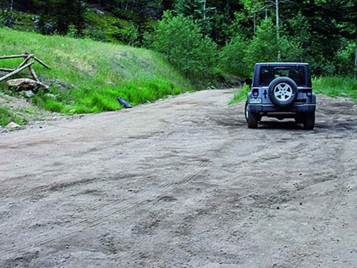
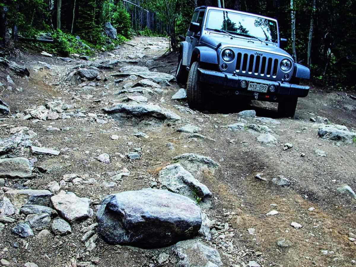
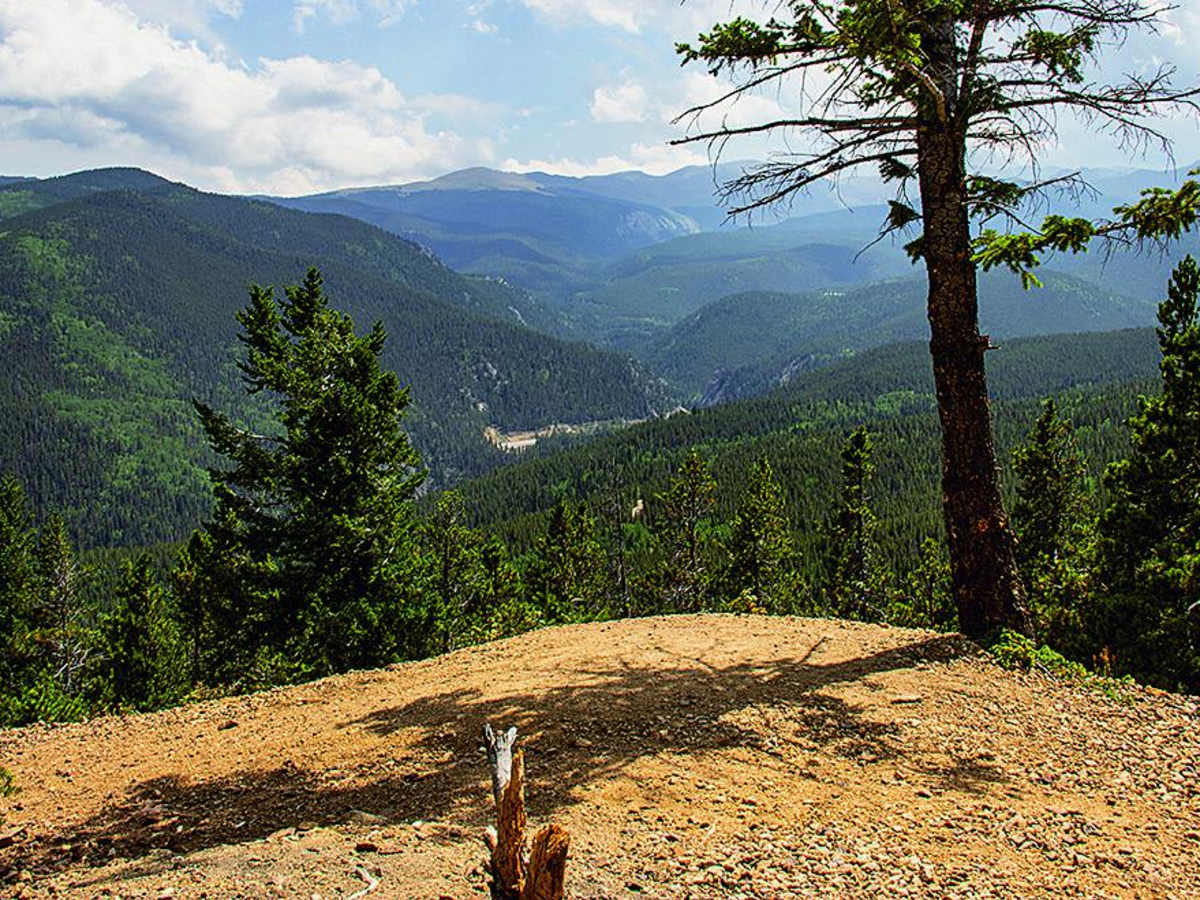
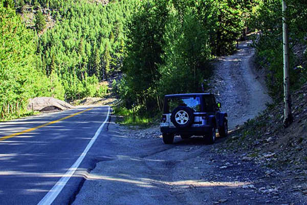
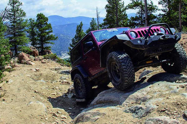
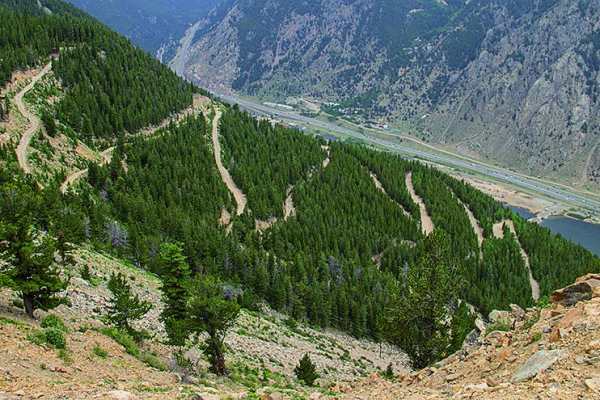
Cascade Creek is a challenging 12.3-mile off-road loop near Idaho Springs and Georgetown designed for drivers seeking a journey through historic Colorado mining country. This route climbs from an elevation of 8,534 feet up to of 11,159 feet, offering breathtaking mountain views along a network of backroads. The overall difficulty is rated a 6, with most of the loop presenting moderate terrain, but the western half of Cascade Creek Road (710.1) raises the stakes with loose boulders and tricky ledges. Navigating this section uphill is particularly demanding, though a stock high-clearance 4WD vehicle can complete it going downhill with careful tire placement.
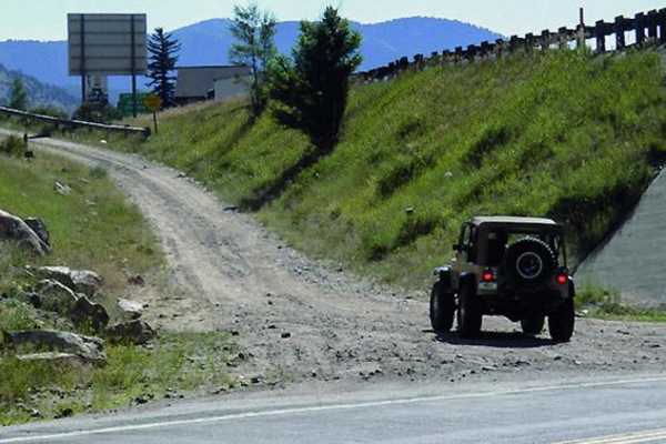
Beyond the technical driving, the trail is rich in history, passing near the late 1890s mining townsite of Lamartine where a short detour on road 727.1B reveals the faint remains of log cabins and historic mining operations. Because the trail winds through areas with abundant private property, visitors must respect posted signs and stay on the designated trail. There are no official seasonal closures, but winter snows can make the route impassable, so checking weather conditions is highly recommended before heading out. Unlicensed vehicles will find very limited parking, but a small staging area is available along Route 103, with additional space located about 0.4 miles up the trail.
Difficulty
Difficult. Mostly moderate except for the western half of Cascade Creek Road 710.1. This part has loose boulders and tricky ledges. Harder going uphill in reverse direction. We did it in our stock Wrangler Sport going downhill, but it was a challenge.
History
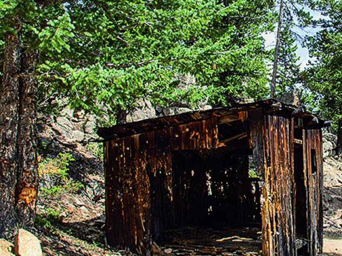
Hidden in the trees just south of Waypoint 04 is the townsite of Lamartine, accessible via a faint road (727.1B). In the late 1890s, this was a small town of about 500 mine workers who serviced the nearby Lamartine Mine. Today, only a few logs remain from a couple of cabins, but looking closely along the trails will reveal the remnants of many other historic mines in the area.
Access Description
Be aware that Cascade Creek winds through a significant amount of private property, so visitors must stay on the designated trail. There is very limited parking available for unlicensed vehicles along the route. While there are no official seasonal closures, winter weather can make the trail impassable, and checking local weather and snow conditions before heading out is highly recommended.