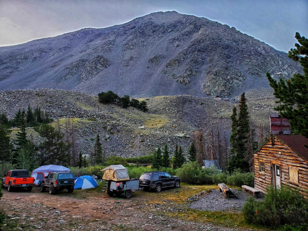
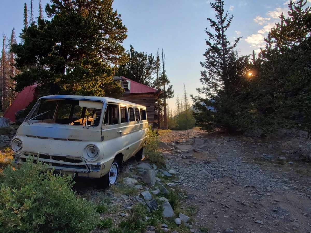
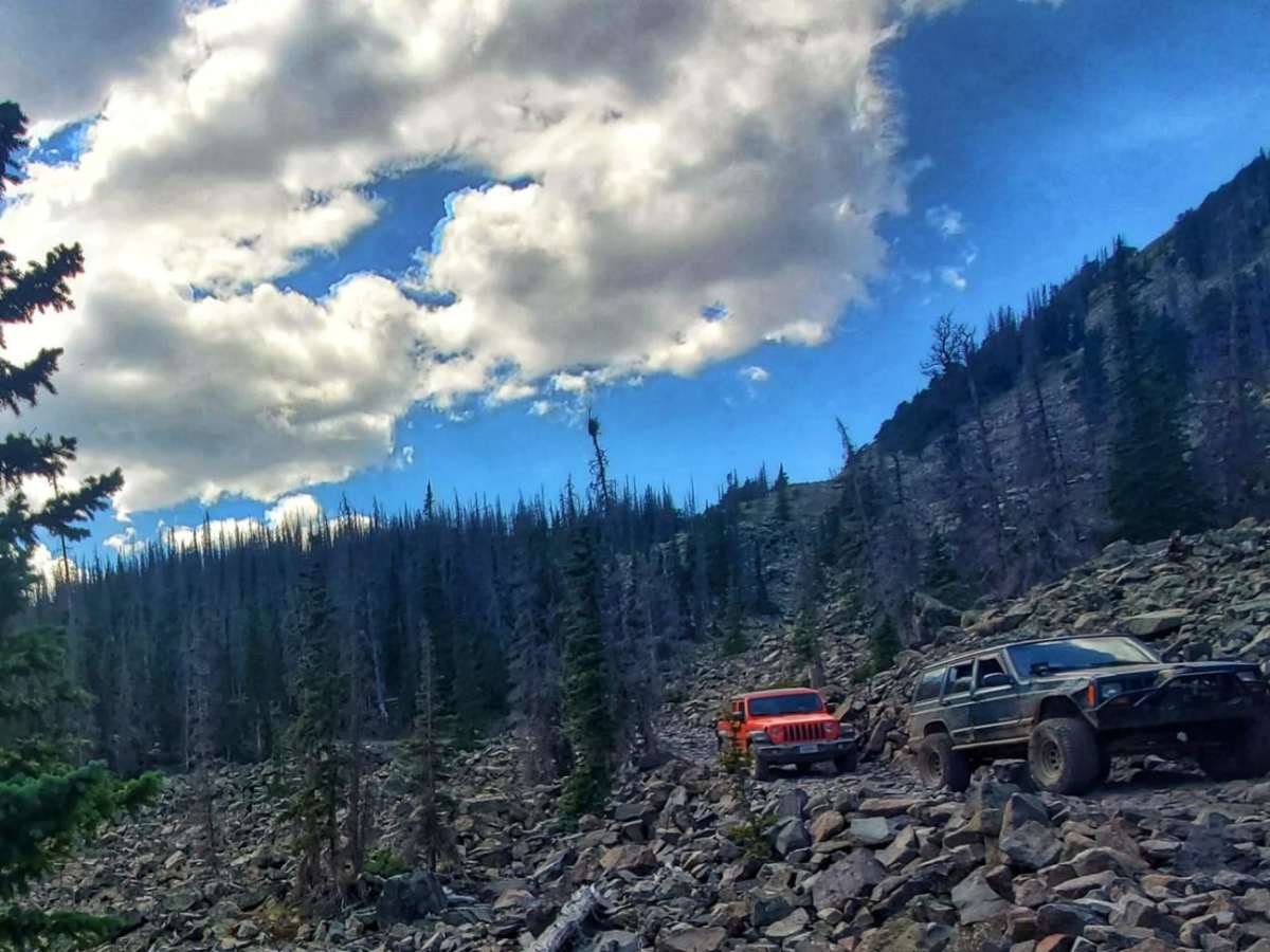
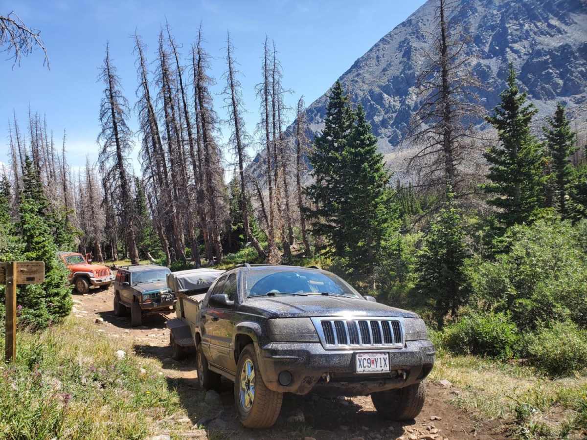
Trail Overview
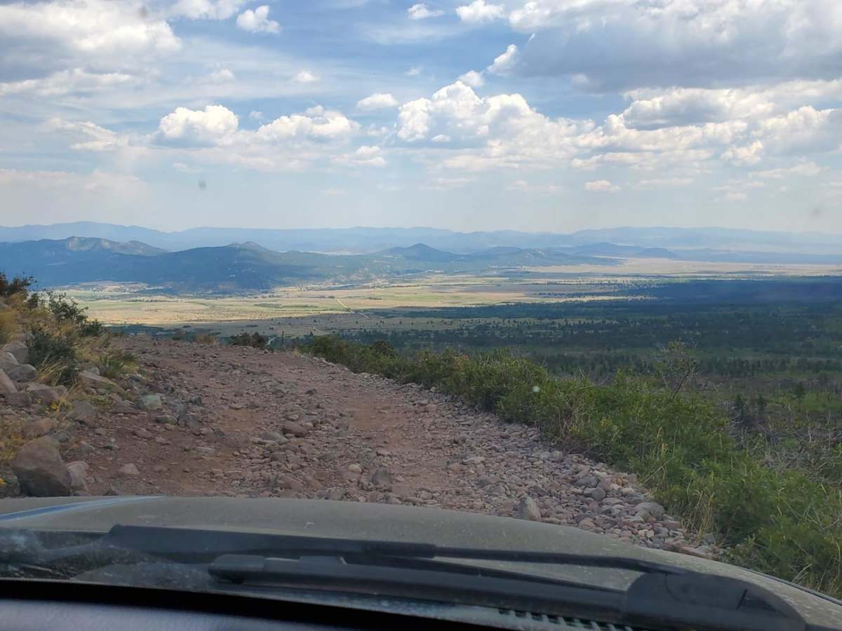
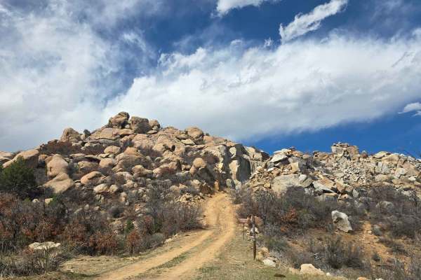
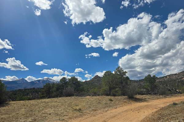
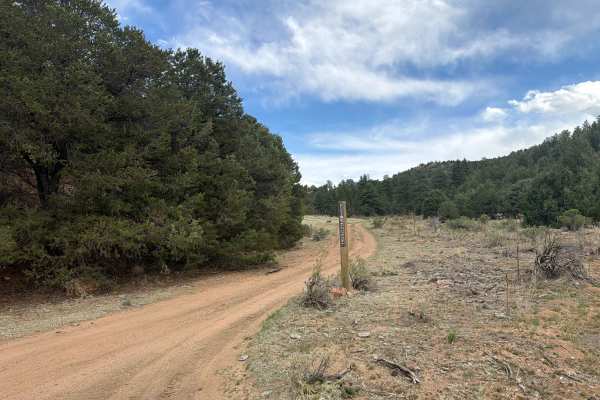
The road to Cloverdale Mine is a fun-filled drive with gorgeous, Rocky Mountain views, a glimpse of the rich mining history of Westcliffe, CO and a couple small spots that will require some technical driving skills. This rocky, 7.7-mile trail ends with a short hike to Cloverdale Mine. The out-and-back trail takes roughly 2-3 hours one way and ascends to above 11,400 feet with dispersed camping throughout. The numerous structures still standing along the trail tell the story of everyday life for the miners at this ghost town. The trail is moderately difficult, with small ledges and sizeable boulders throughout. There are some narrow shelf roads, and it can be muddy if it has rained recently. It is rocky and bumpy throughout, and there is a large boulder field towards the end of trail. Before the mining camp, there is a small ledge obstacle where tire placement becomes particularly important.
History
Erected in 1922 on National Forest Land, the Oakwood Mining Company primarily mined gold at this location from 1951-1960. Silver and lead can also be found at this mine. The gold and silver veins ran out quickly, so mining did not continue for long at this site. Though gold is still viable in the area and can be found in small amounts on the mountain, there are no plans to reopen the facility.