BLM 8623
Total Miles
1.1
Technical Rating
Best Time
Fall, Summer, Spring
Trail Type
Single Track
Accessible By
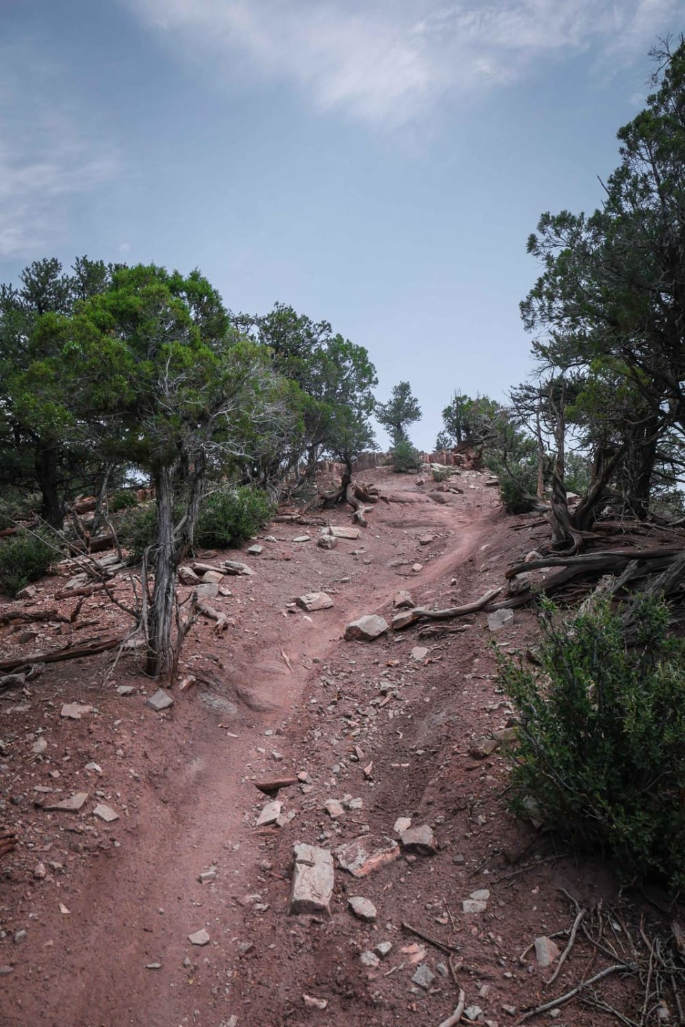
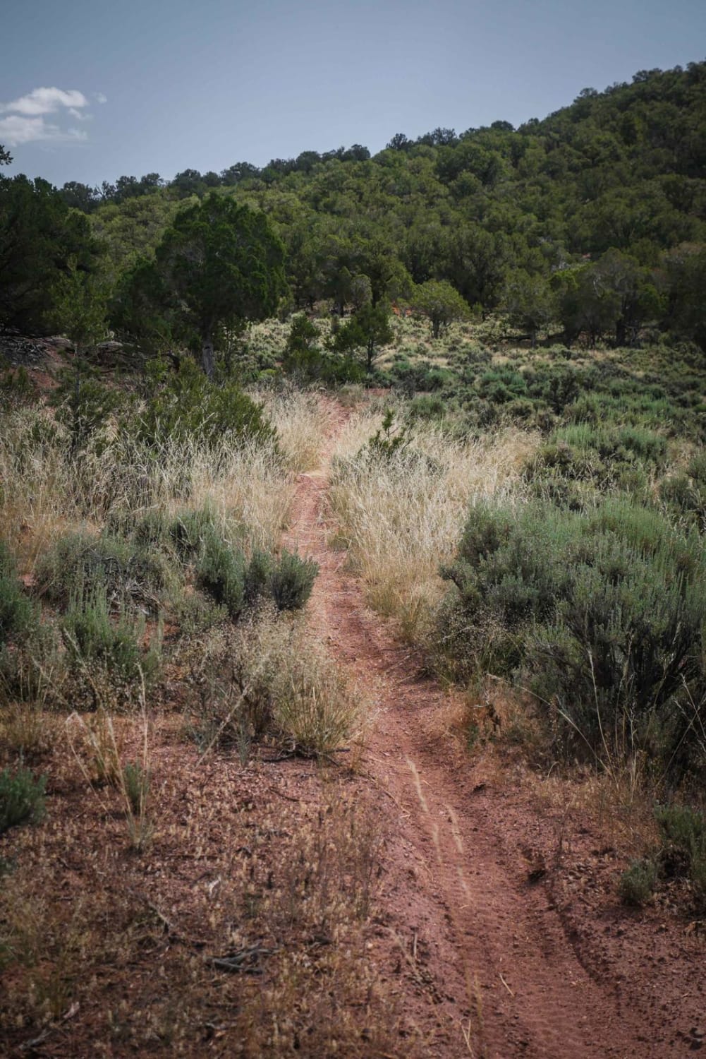
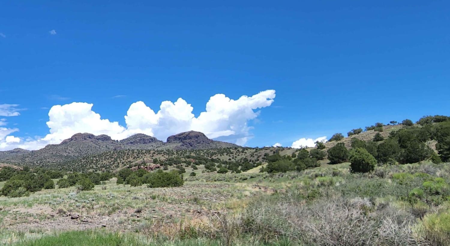
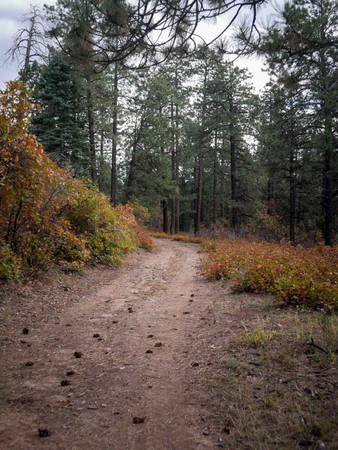
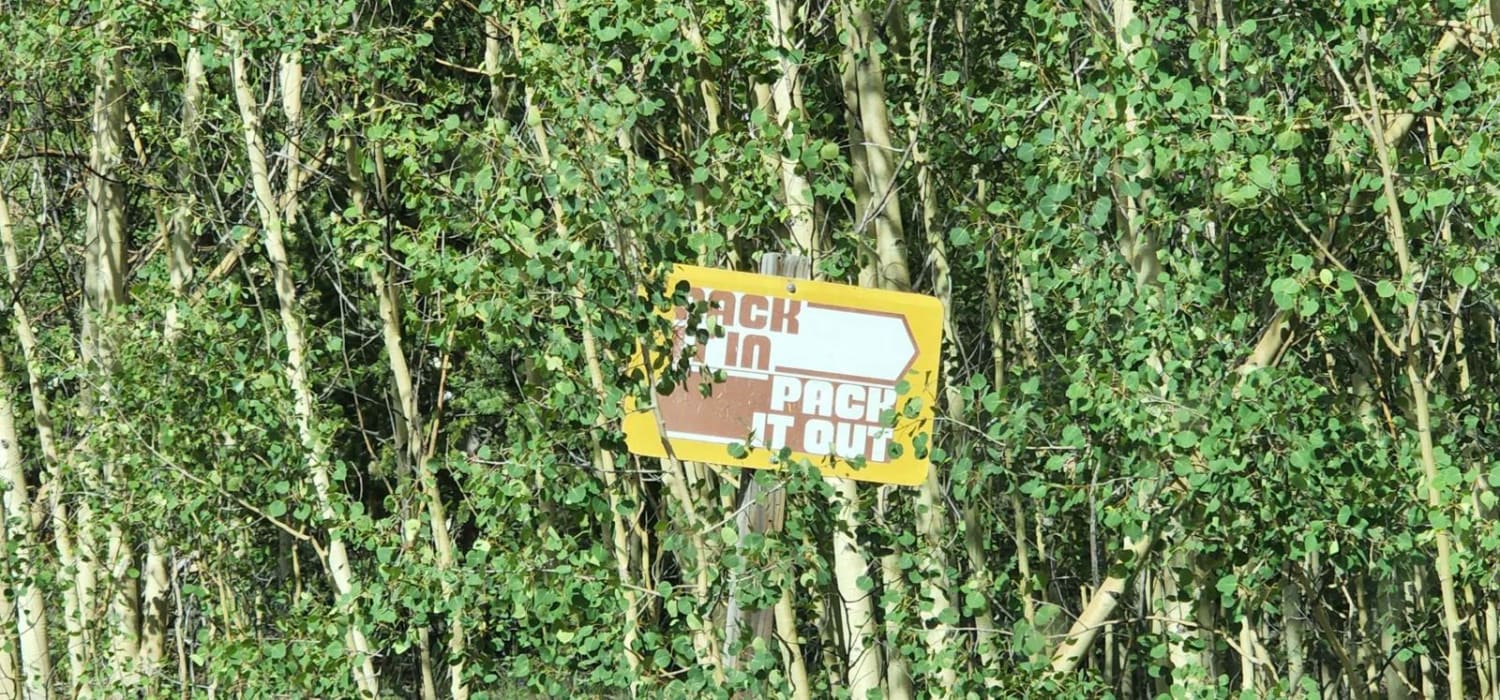
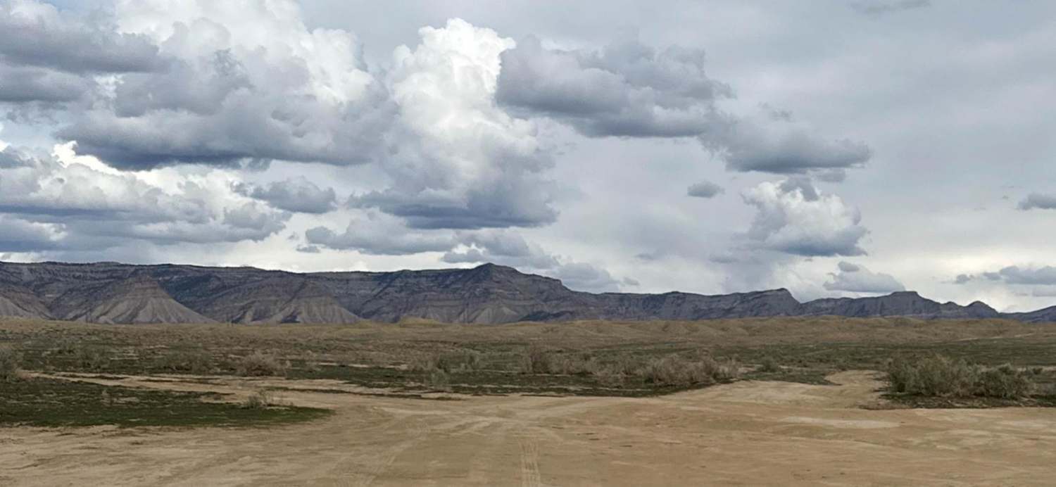
Trail Overview
This 1-mile desert single track starts in a sandy, wide-open wash, then goes into a narrower ravine with tall dirt walls with banked corners and fun wall-riding on the berms. It climbs out of the ravine and on top of a mesa. The rest of the trail has steep and loose climbs and downhills with easy small rock ledges. It's pretty curvy as it winds through the pinyon pine trees. This trail goes past a lot of unmarked intersections, so it's handy to have the map downloaded ahead of time.
Photos of BLM 8623
Difficulty
This trail is an easy desert single-track with loose climbs, downhills, and tight turns.
Status Reports
BLM 8623 can be accessed by the following ride types:
- Dirt Bike
BLM 8623 Map
Popular Trails
The onX Offroad Difference
onX Offroad combines trail photos, descriptions, difficulty ratings, width restrictions, seasonality, and more in a user-friendly interface. Available on all devices, with offline access and full compatibility with CarPlay and Android Auto. Discover what you’re missing today!