Natural Arch
Total Miles
6.0
Technical Rating
Best Time
Spring, Summer, Fall
Trail Type
Full-Width Road
Accessible By
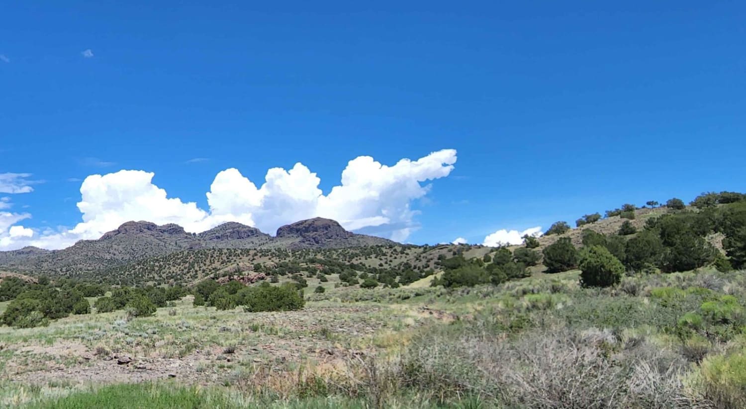
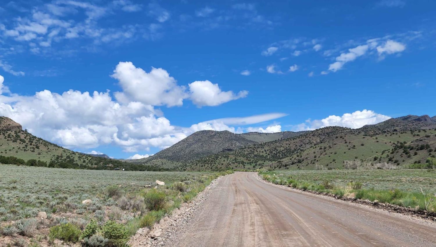
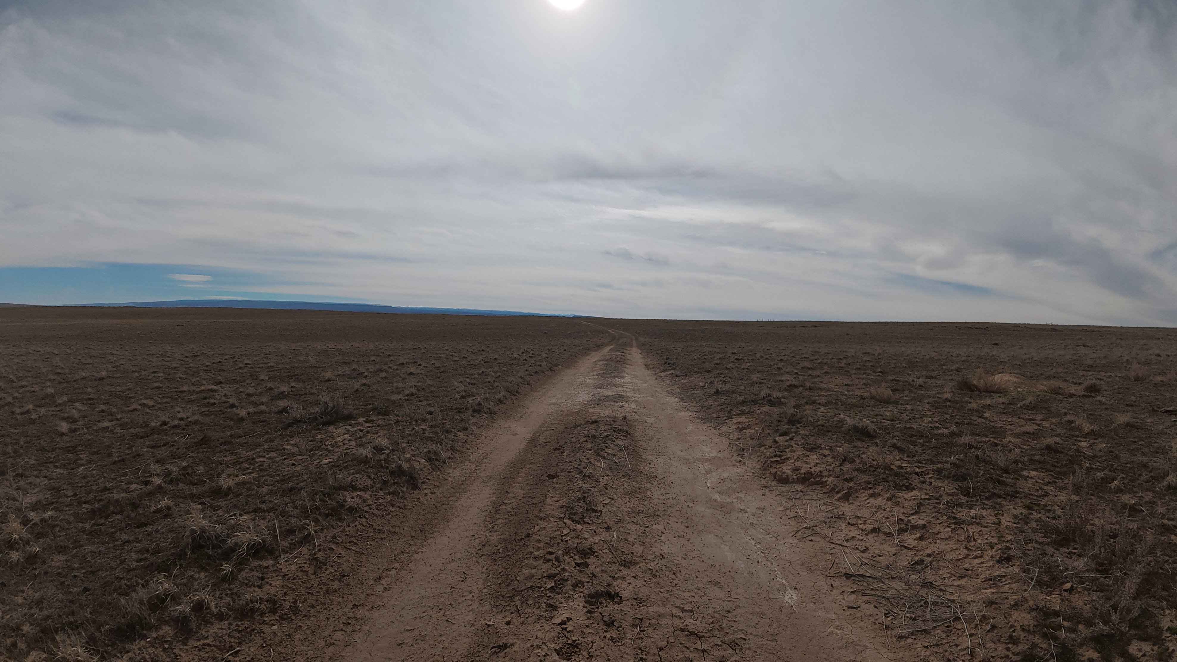
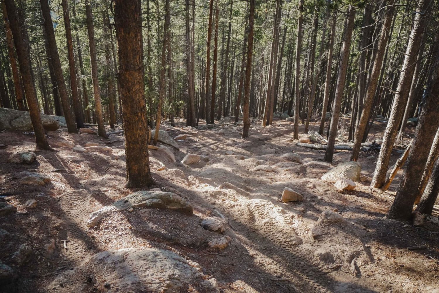
Trail Overview
This road is a connecting road to many other roads. It will get you to hikes, camping spots, and fun areas. There is no camping along this road; it does go through private property as well, so be mindful. It can also be rocky at points, but it's doable by any rig in good weather. It's a dirt or rocky road with gentle grades that is safe for most 4WD and high-clearance 2WD vehicles. These roads are typically two vehicles wide.
Photos of Natural Arch
Difficulty
This trail can be rocky at points.
Natural Arch can be accessed by the following ride types:
- High-Clearance 4x4
- SUV
- SxS (60")
- ATV (50")
- Dirt Bike
Natural Arch Map
Popular Trails
770 Watson Park
The onX Offroad Difference
onX Offroad combines trail photos, descriptions, difficulty ratings, width restrictions, seasonality, and more in a user-friendly interface. Available on all devices, with offline access and full compatibility with CarPlay and Android Auto. Discover what you’re missing today!