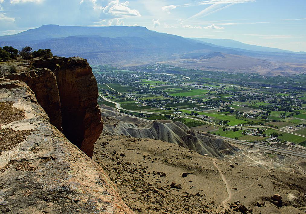
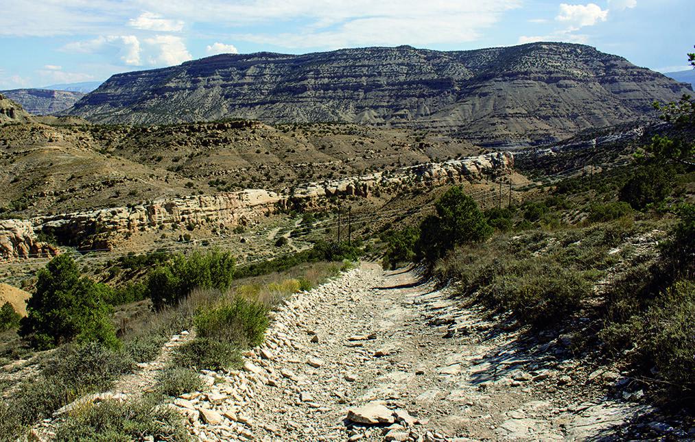
Coal Canyon
Total Miles
5.1
Technical Rating
Best Time
Summer, Fall
Trail Type
Full-Width Road
Accessible By
Trail Overview
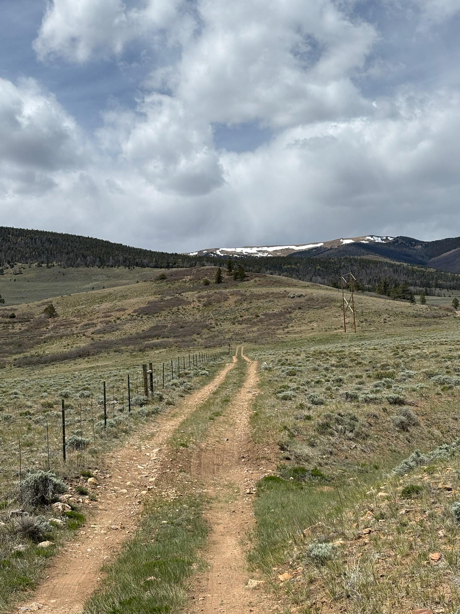
Close to Grand Junction, Coal Canyon provides easy access to multi-use recreation. This route begins in a wash and climbs to an overlook of Palisade. The trail continues in the wash, which gets narrower and eventually stops. Camping available. Please stay on trail and be respectful of hikers, horseback riders, and mountain bikers. Open June through November.
Photos of Coal Canyon
Difficulty
Moderate. Mostly smooth with short rocky sections when crossing the wash. Steep climb to overlook is moderate with some loose rock. Other sidetrails in area can be more challenging. Stock, 4WD, high-clearance SUVs can do it. Not recommended for oversize vehicles.
Status Reports
Coal Canyon can be accessed by the following ride types:
- High-Clearance 4x4
- SUV
- SxS (60")
- ATV (50")
- Dirt Bike
Coal Canyon Map
Popular Trails
Overland Reservoir

Old Highway
Turquoise Road
The onX Offroad Difference
onX Offroad combines trail photos, descriptions, difficulty ratings, width restrictions, seasonality, and more in a user-friendly interface. Available on all devices, with offline access and full compatibility with CarPlay and Android Auto. Discover what you’re missing today!