Trail Overview
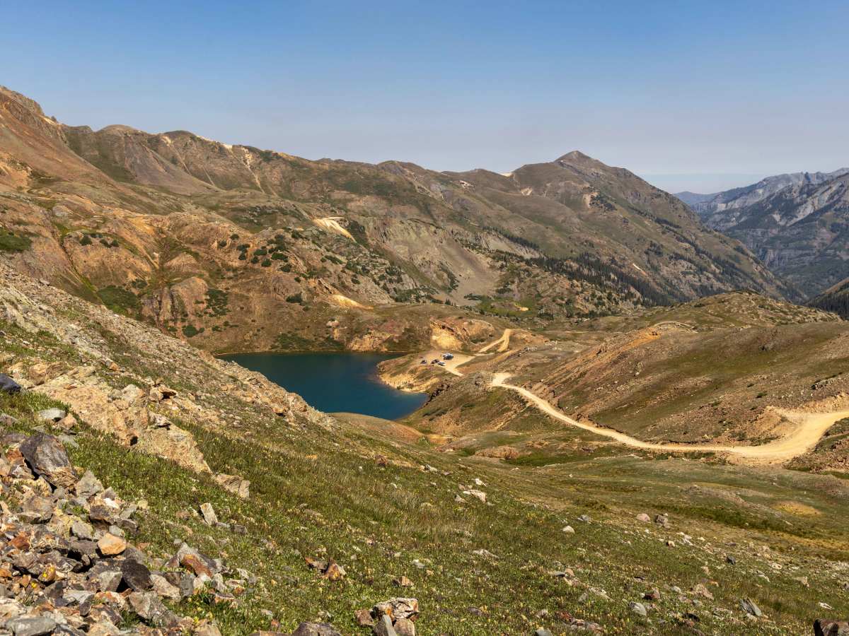
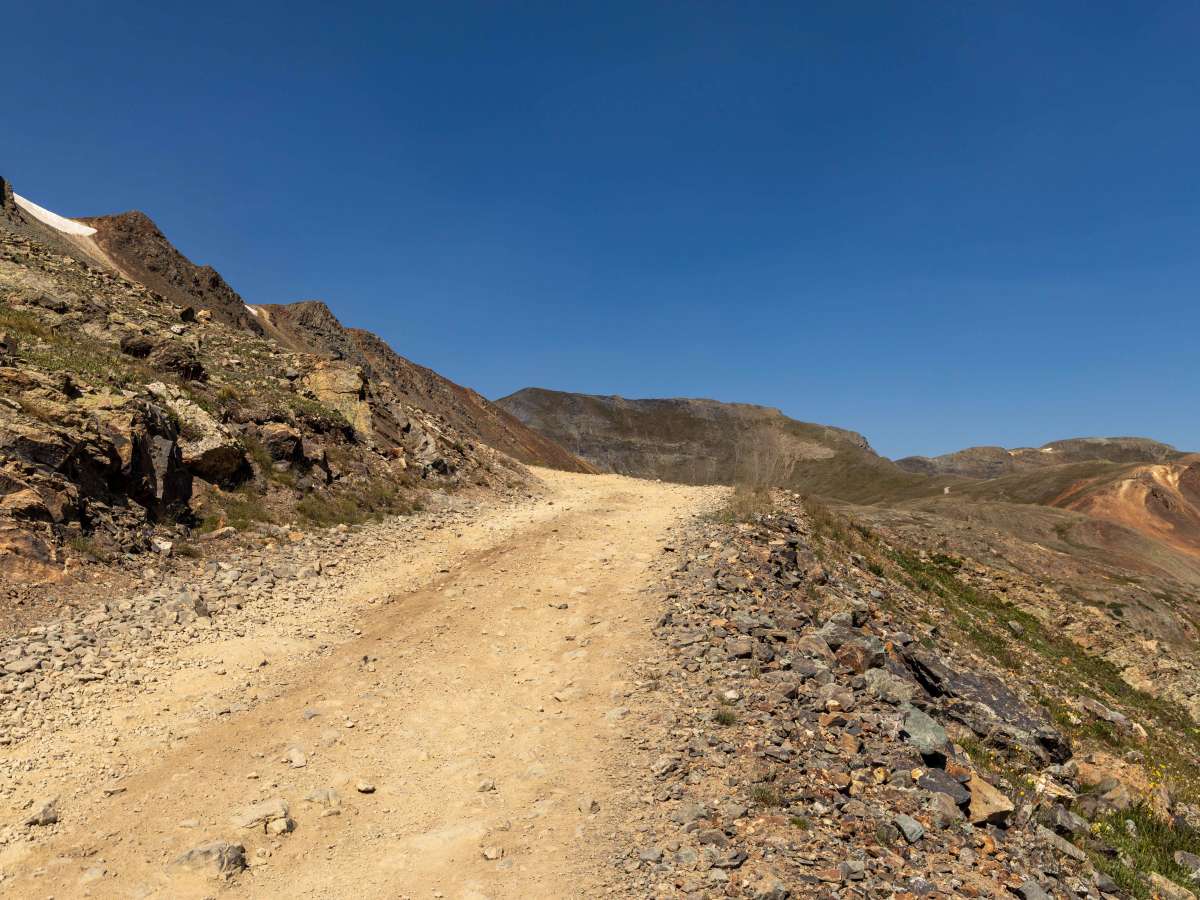
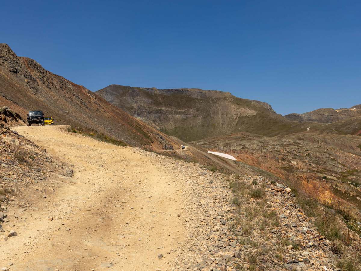
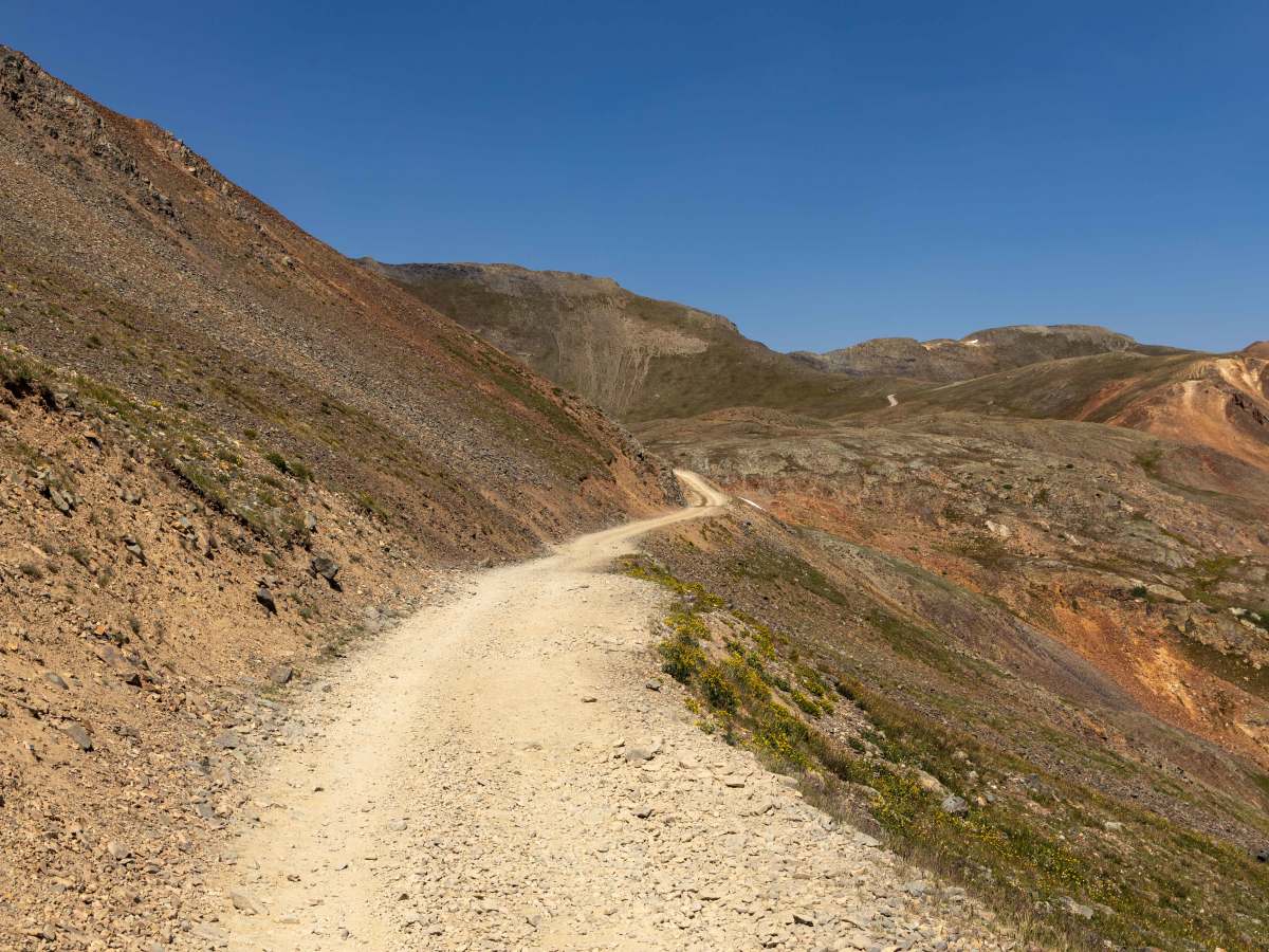
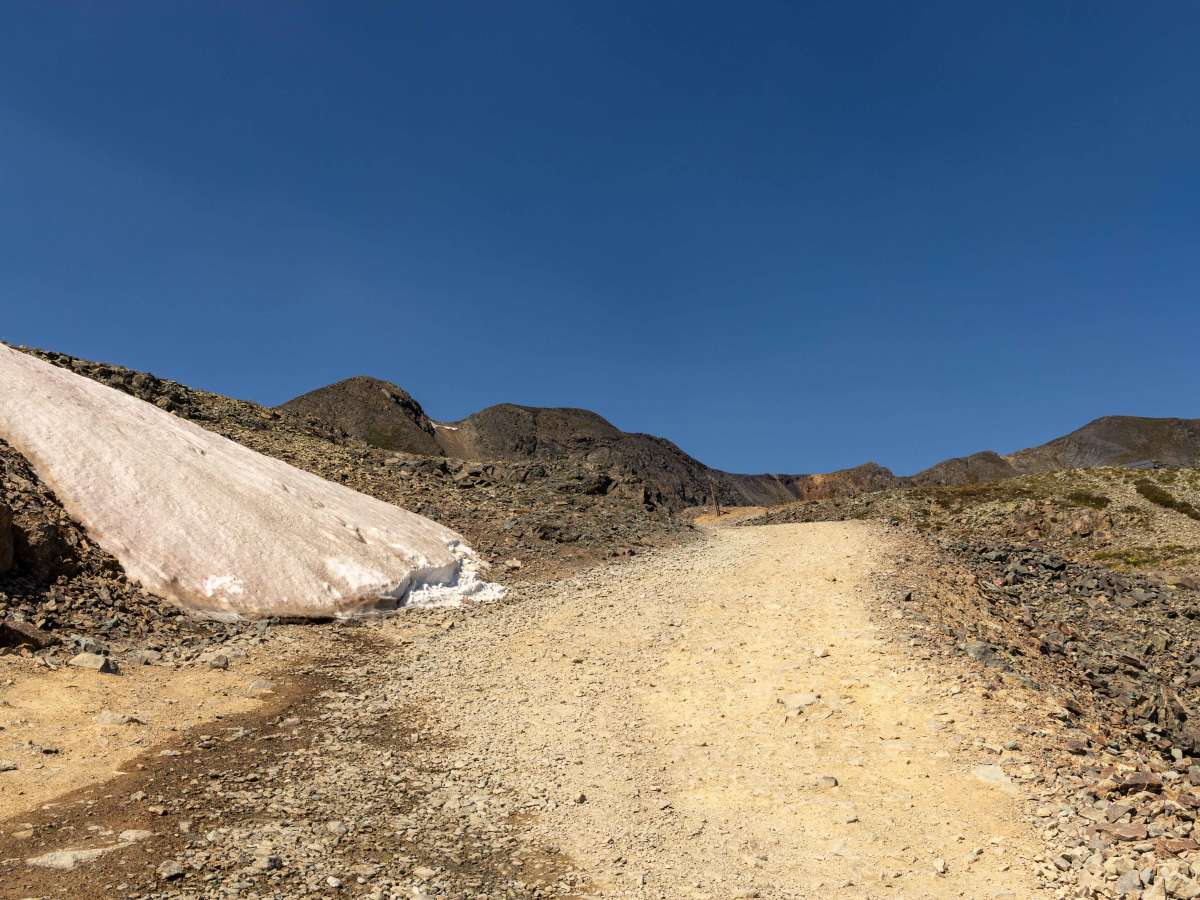
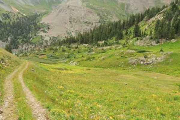
The Hurricane Pass and Corkscrew Gulch Trail is a well-traveled high-country route that offers a mix of terrain and conditions. The lower sections wind through forested areas where the trail can be bumpy, wet, and rutted, with dust common in drier stretches. As the route climbs, it becomes steeper and rockier, though there are no major obstacles to contend with—making it accessible to most high-clearance 4x4 vehicles. Some stretches narrow considerably, requiring extra attention when passing oncoming traffic. Cellular service is nonexistent along the entire trail, so it’s best to download offline maps before heading out. Despite the bumps and rocks, the steady climb and overall accessibility make this a popular choice for off-road travelers.
Difficulty
This is an unmaintained trail that is has many features. Narrow in the trees, narrow shelf road sections with no places to pass, and water bumps/ditch like structures to guide water flow. There are puddles and muddy areas in the lower trees that could become problematic after or during a moisture event.
History
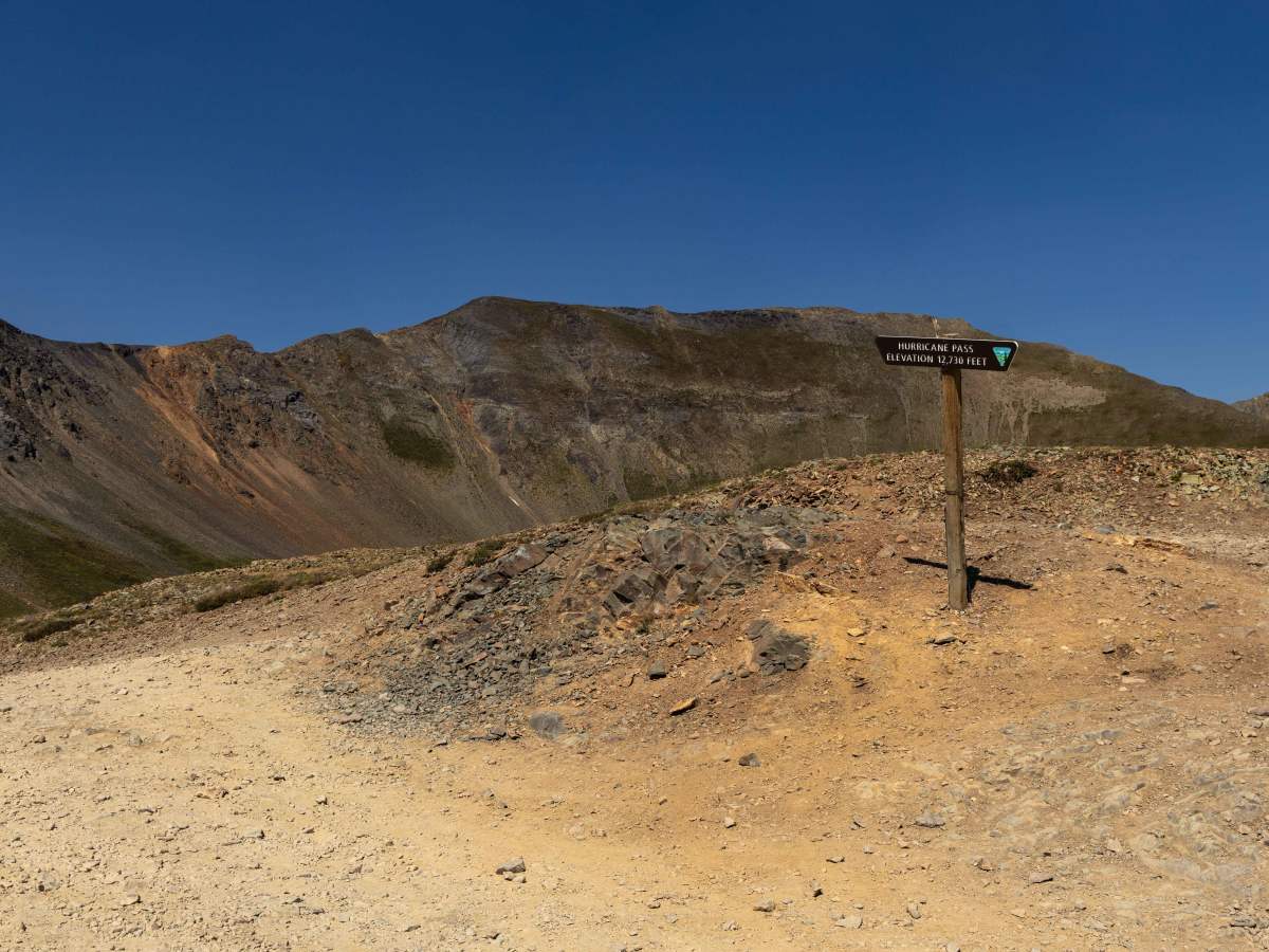
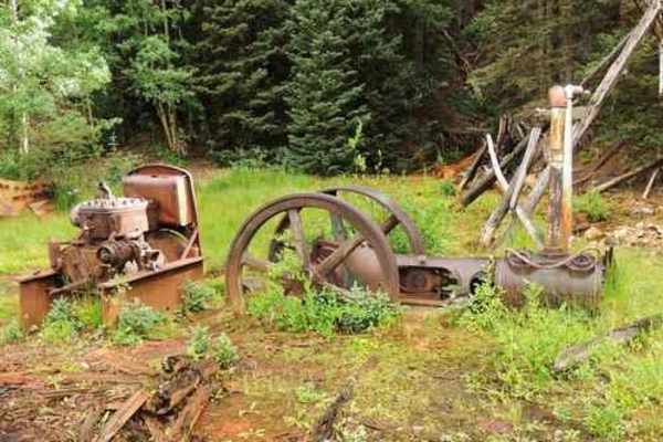
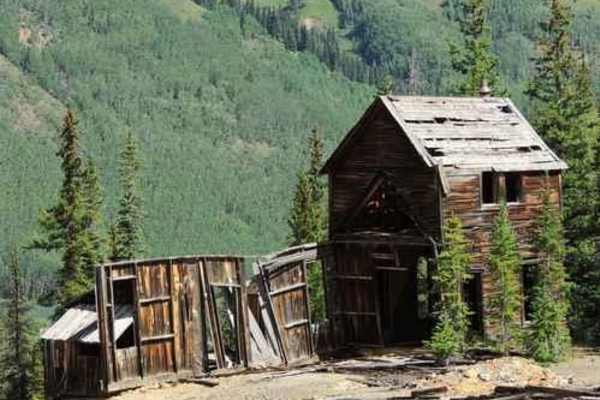
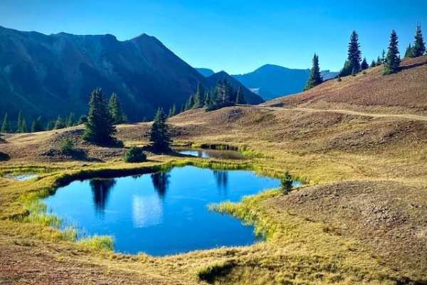
Historically, Hurricane Pass and Corkscrew Gulch are located in the heart of Colorado’s San Juan mining district, where silver and gold booms of the late 1800s carved the paths we use today. The Corkscrew route, in particular, was named for its tightly winding switchbacks, which miners once used to haul ore out of the mountains. Today, instead of mining wagons, travelers enjoy incredible alpine views, with Hurricane Pass cresting above 12,700 feet. Wildflowers fill the meadows in summer, while marmots and pikas call the rocky slopes home. The contrast between the rough mining past and the peaceful alpine scenery makes this route a classic San Juan experience.