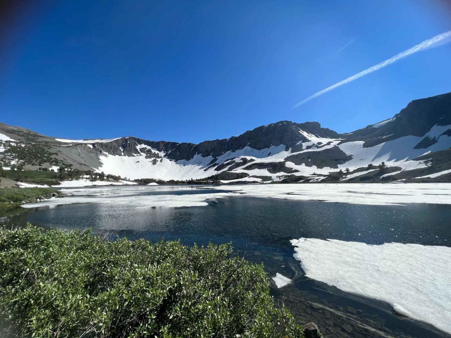
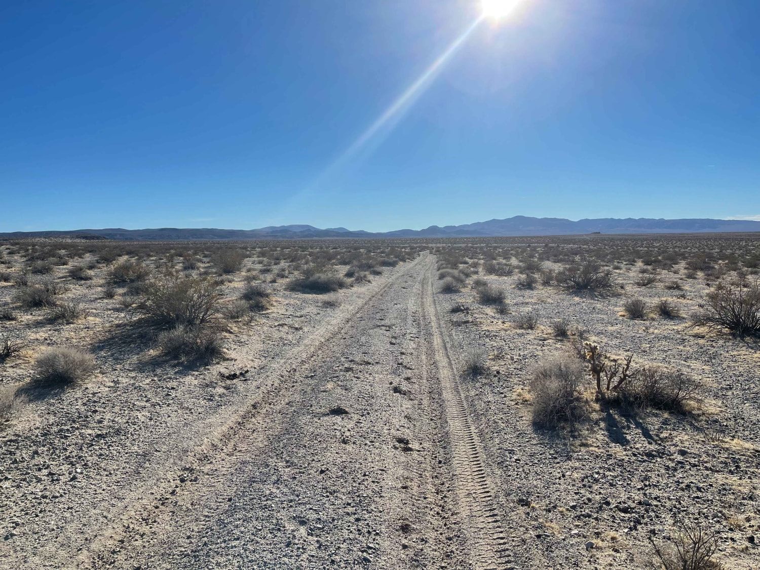
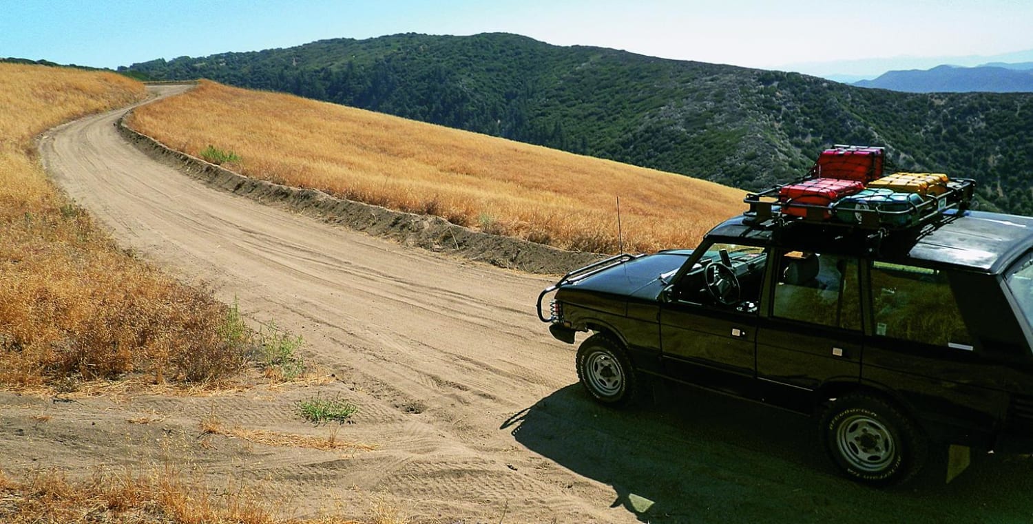
Off-Road Trails in California
Discover off-road trails in California
Learn more about Leaving Lark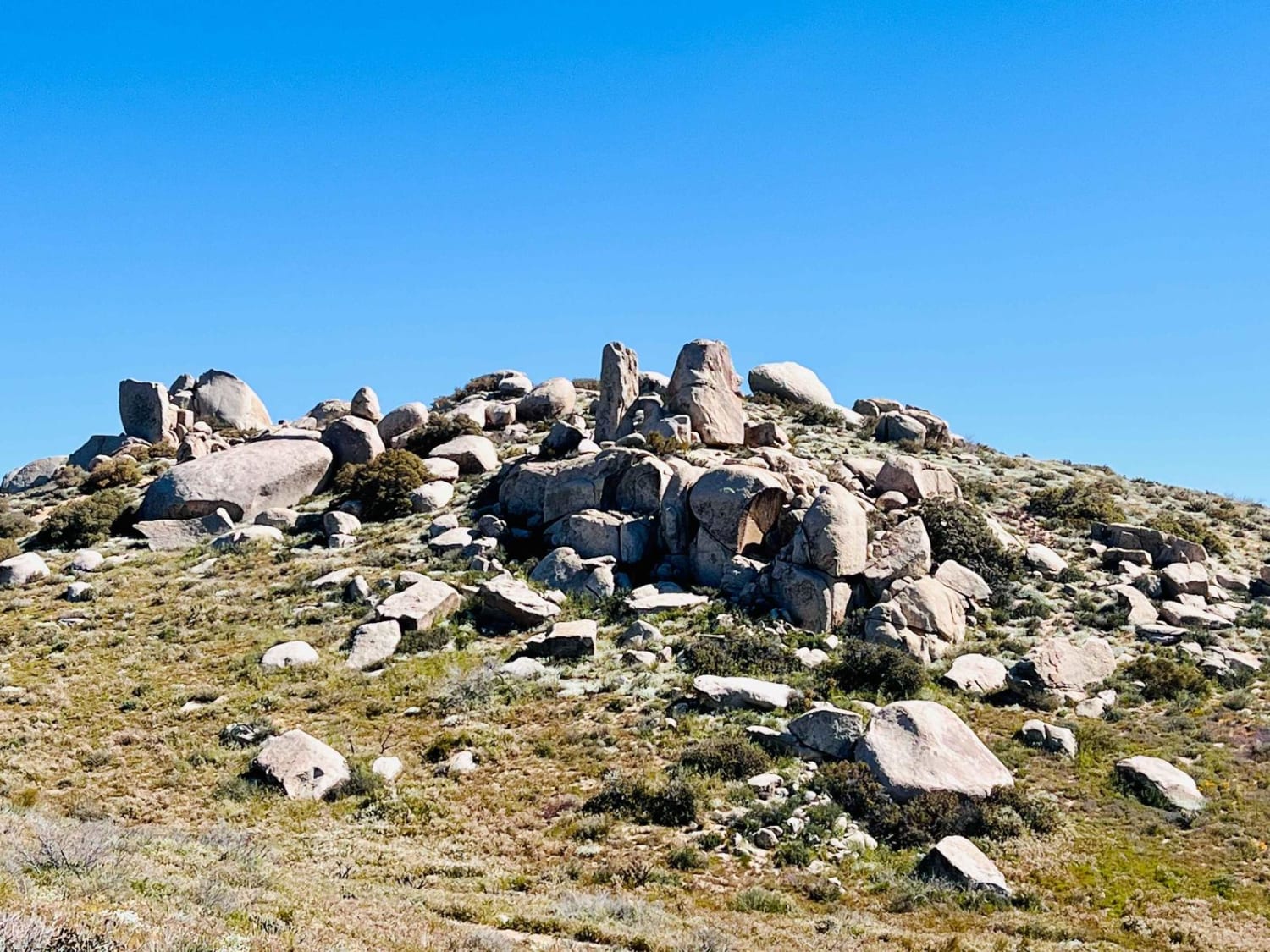
Leaving Lark
Total Miles
1.6
Tech Rating
Moderate
Best Time
Winter, Fall, Spring
Learn more about Lee's Camp Road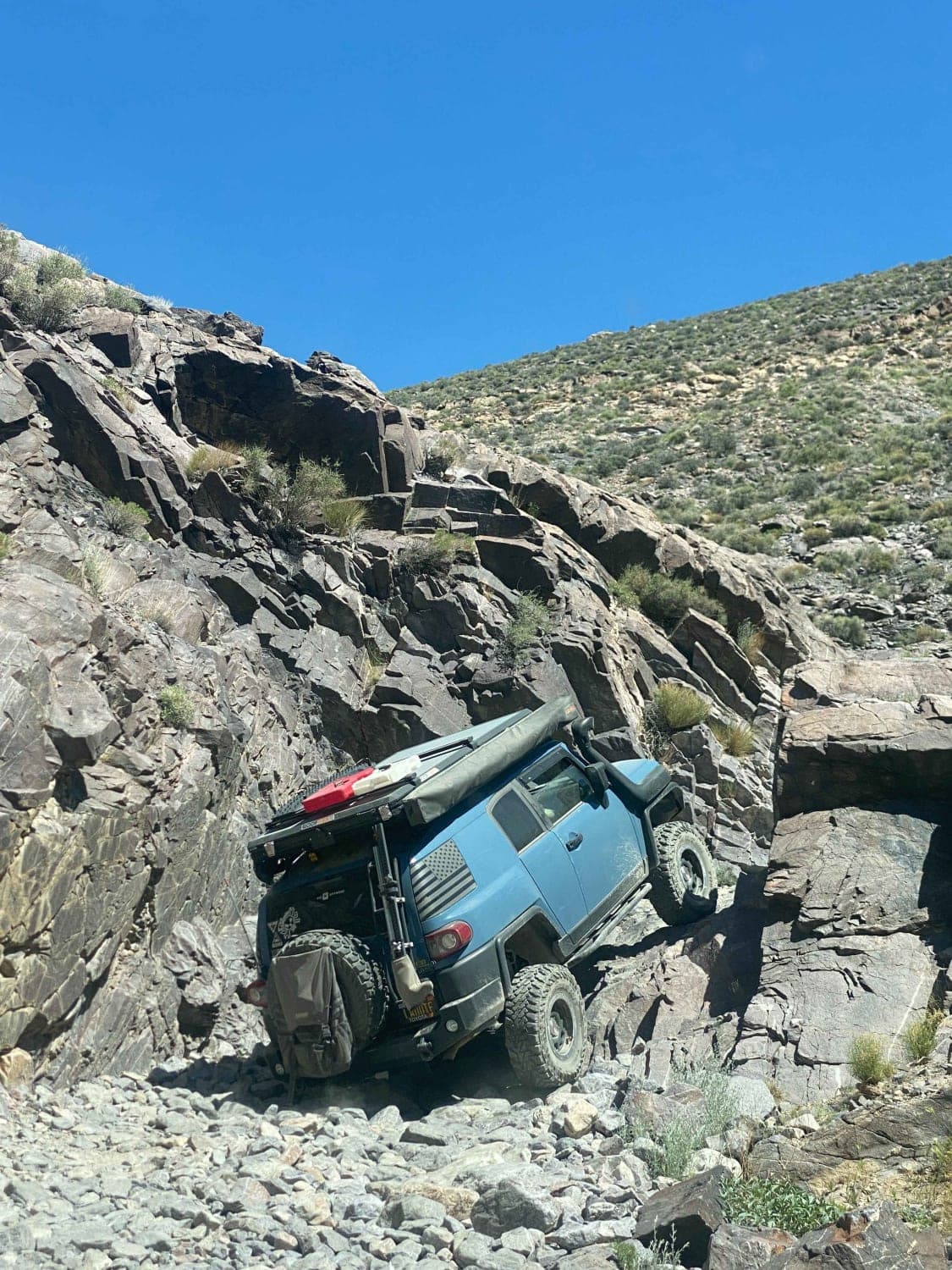
Lee's Camp Road
Total Miles
13.5
Tech Rating
Moderate
Best Time
Spring, Fall
Learn more about Leliter Road - BLM SE137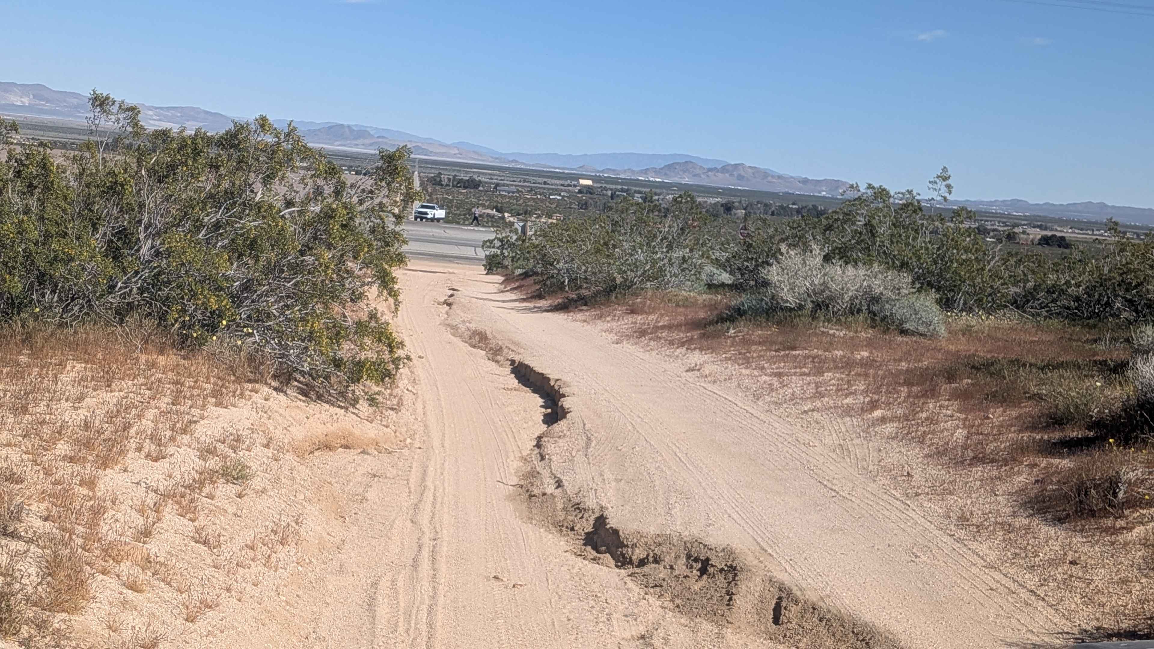
Leliter Road - BLM SE137
Total Miles
1.5
Tech Rating
Easy
Best Time
Fall, Summer, Spring
Learn more about Leona Divide
Leona Divide
Total Miles
10.2
Tech Rating
Easy
Best Time
Spring, Summer, Fall
Learn more about Letts Lake
Letts Lake
Total Miles
3.5
Tech Rating
Easy
Best Time
Spring, Summer, Fall, Winter
Learn more about Letts Ridge Trailhead Entrance
Letts Ridge Trailhead Entrance
Total Miles
0.4
Tech Rating
Easy
Best Time
Spring, Summer, Fall
Learn more about Letts Valley - FS 17N02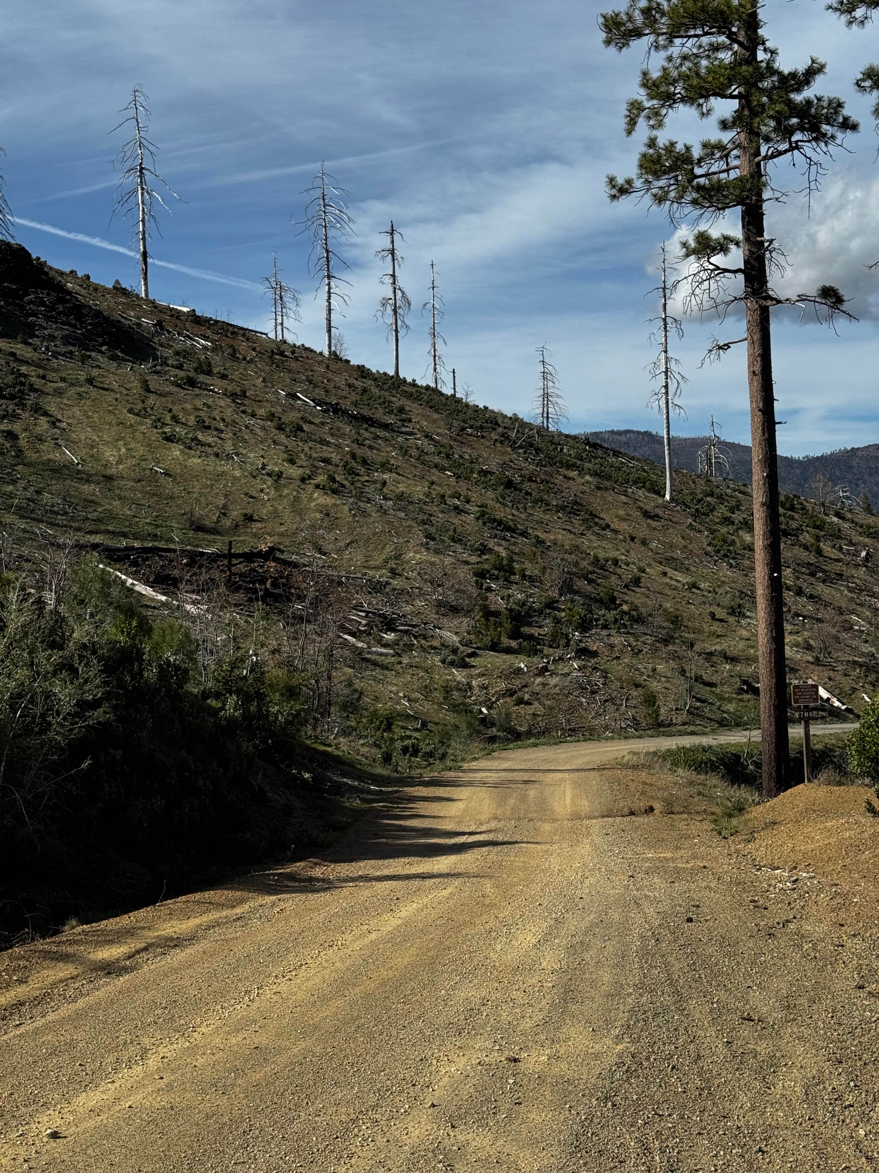
Letts Valley - FS 17N02
Total Miles
2.8
Tech Rating
Easy
Best Time
Spring, Summer, Fall
Learn more about Leviathan Bypass - FS 31353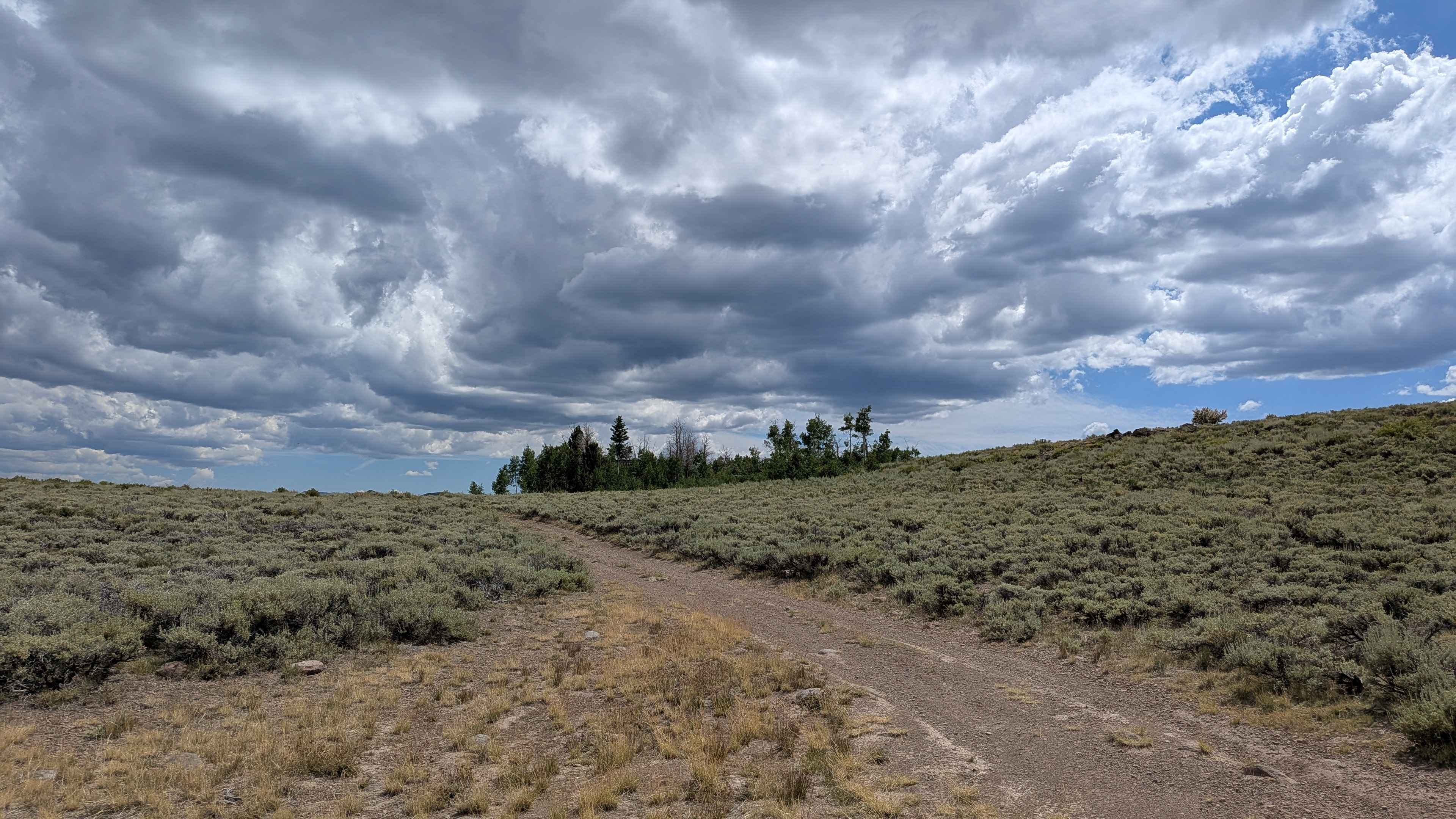
Leviathan Bypass - FS 31353
Total Miles
1.5
Tech Rating
Easy
Best Time
Summer, Fall
Learn more about Leviathan Creek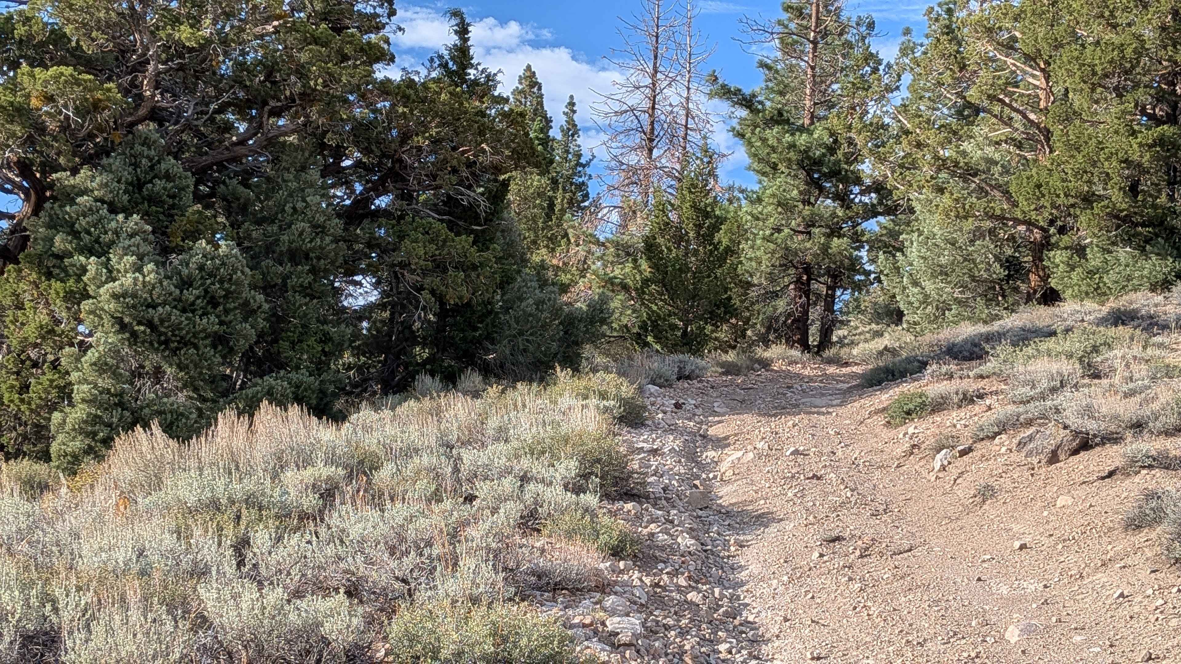
Leviathan Creek
Total Miles
1.1
Tech Rating
Easy
Best Time
Summer, Fall, Spring
Learn more about Leviathan Lookout - FS 31057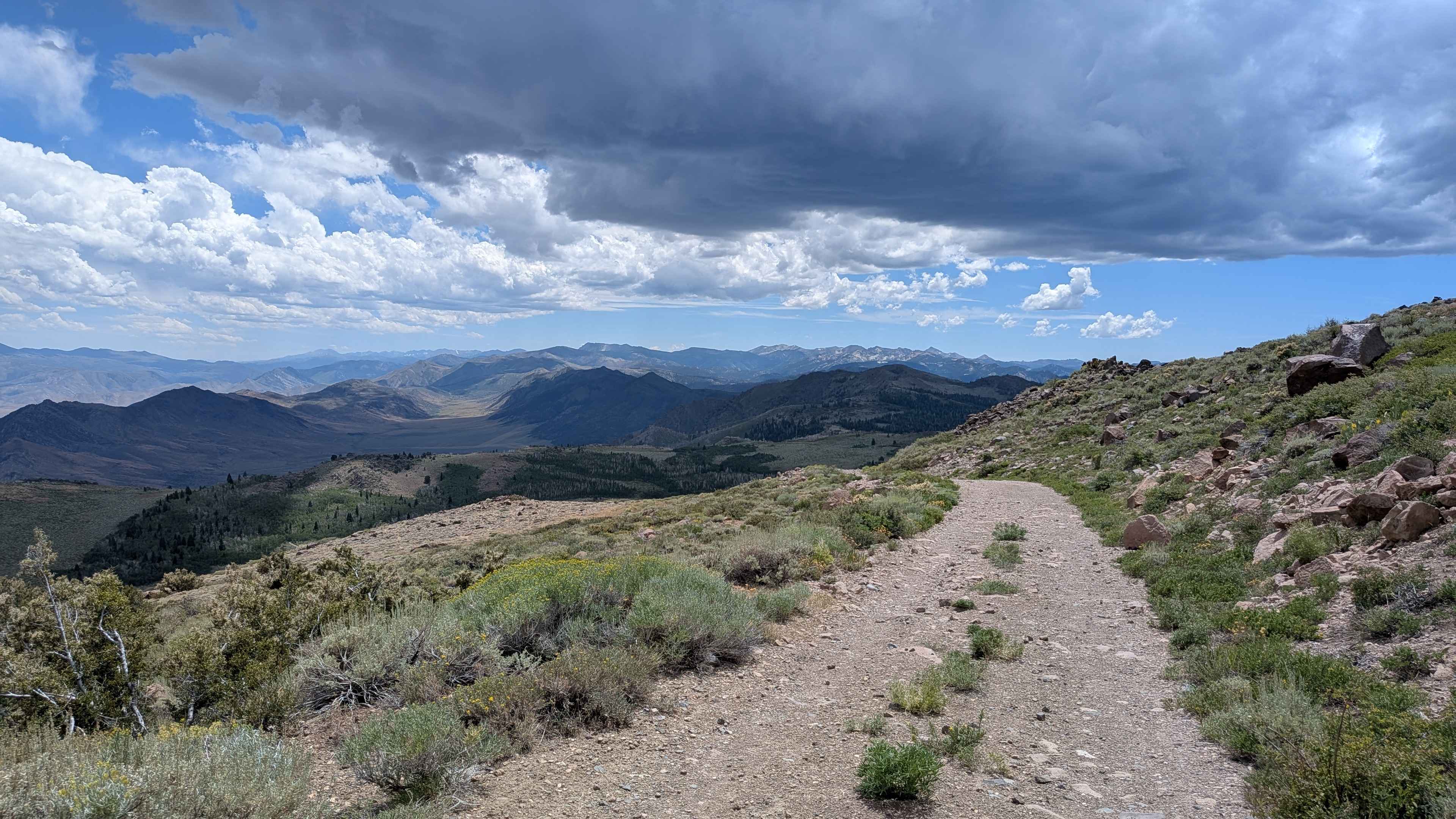
Leviathan Lookout - FS 31057
Total Miles
1.6
Tech Rating
Easy
Best Time
Summer, Fall
Learn more about Leviathan Mine Road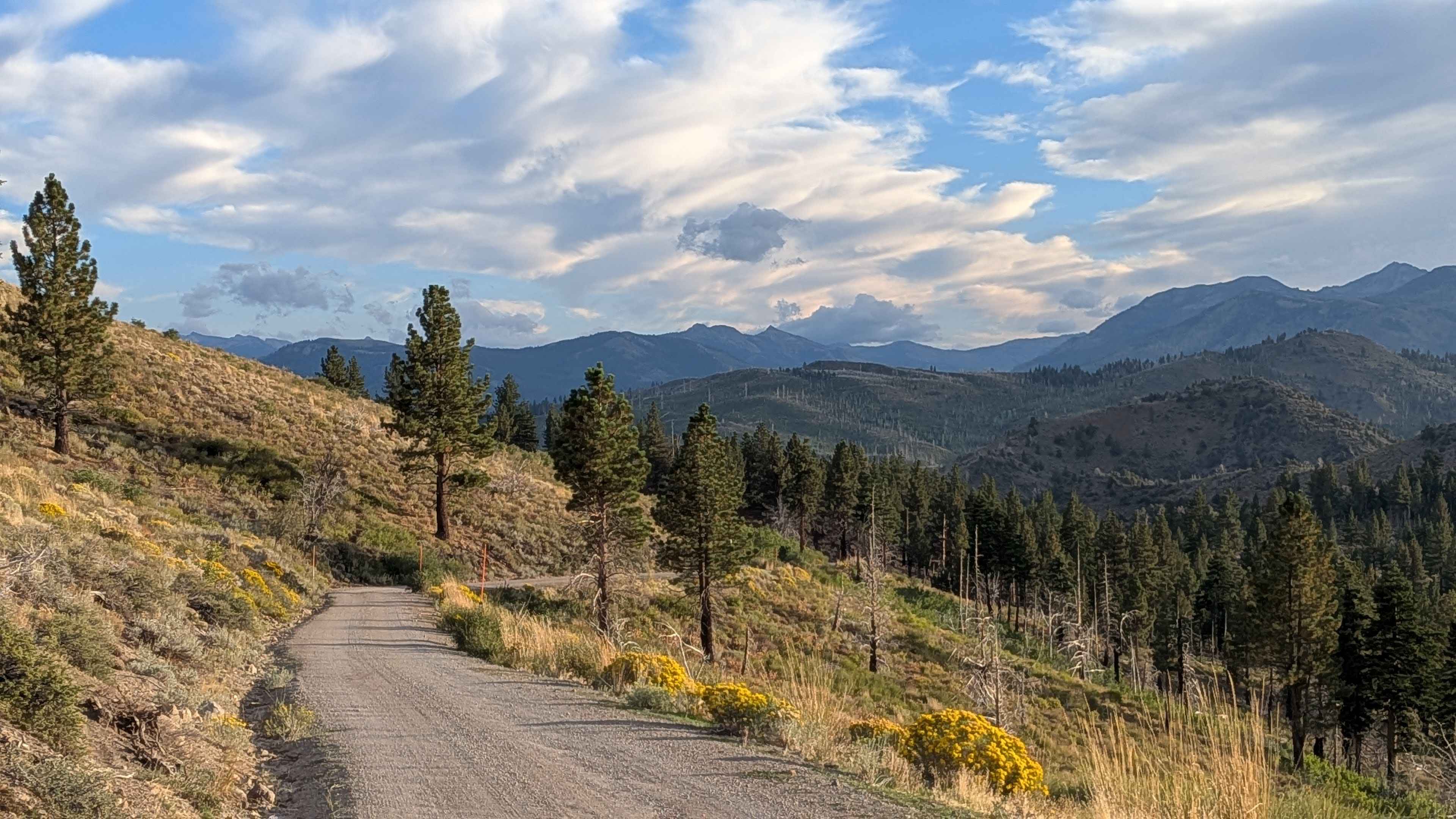
Leviathan Mine Road
Total Miles
2.6
Tech Rating
Easy
Best Time
Summer, Fall, Spring
Learn more about Leviathan Road East - FS 31052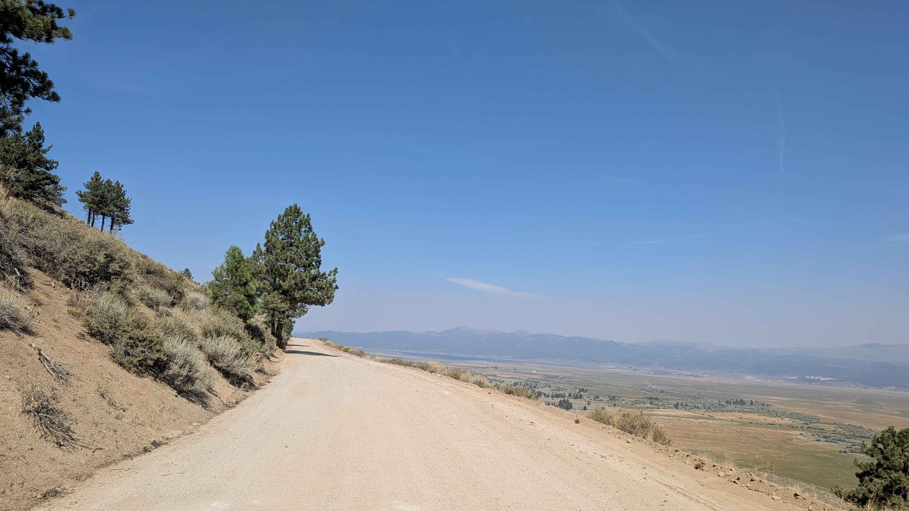
Leviathan Road East - FS 31052
Total Miles
6.0
Tech Rating
Easy
Best Time
Summer, Fall, Spring
Learn more about Likely Saddle - FS 26S20
Likely Saddle - FS 26S20
Total Miles
1.1
Tech Rating
Easy
Best Time
Summer, Fall, Spring
Learn more about Lil Bit of Everything ST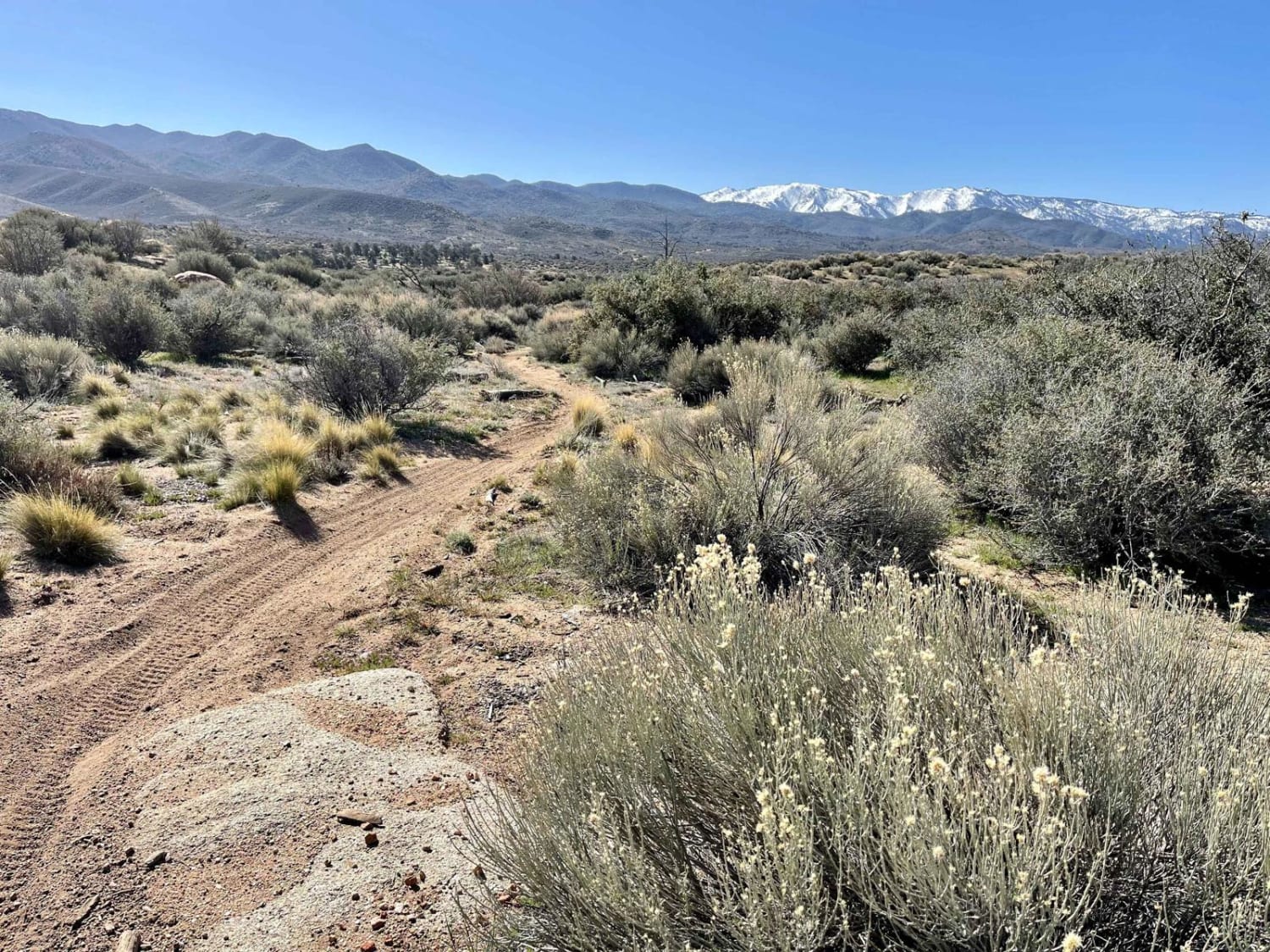
Lil Bit of Everything ST
Total Miles
3.9
Tech Rating
Moderate
Best Time
Winter, Fall, Spring
Learn more about Lippincott Pass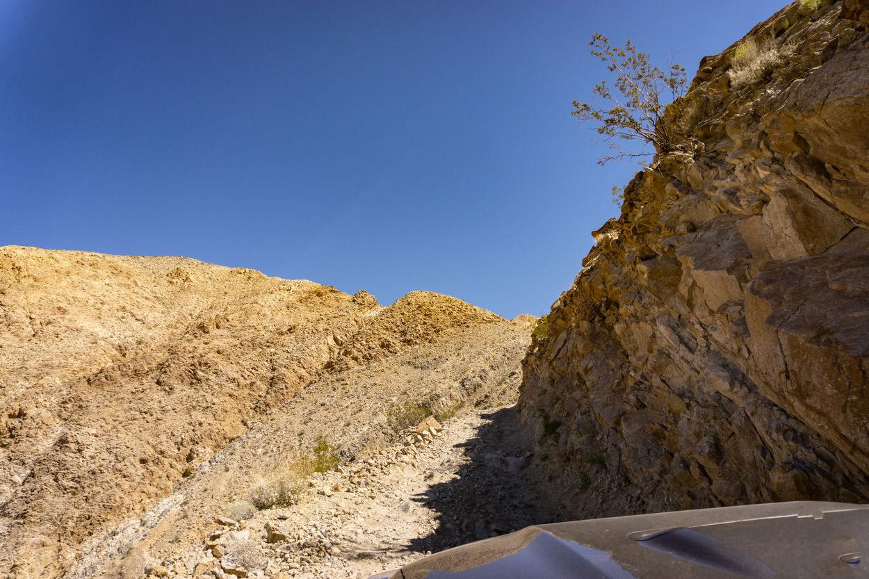
Lippincott Pass
Total Miles
6.6
Tech Rating
Moderate
Best Time
Spring, Winter
Learn more about Little Bear Spring - 2N84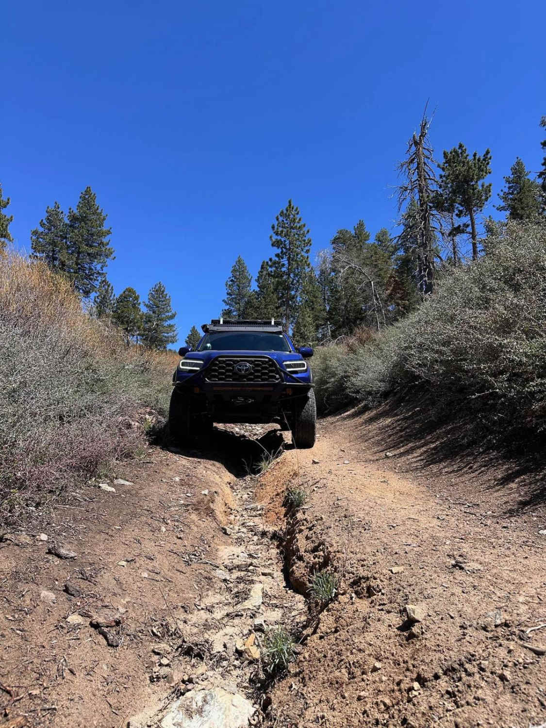
Little Bear Spring - 2N84
Total Miles
1.8
Tech Rating
Moderate
Best Time
Spring, Summer, Fall
Learn more about Little Box Canyon Meccacopia Loop 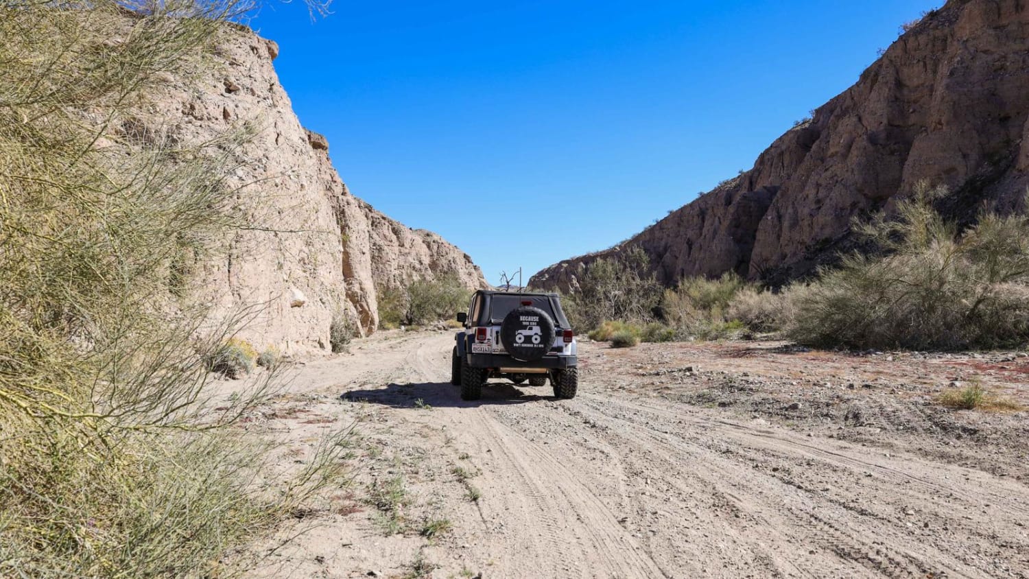
Little Box Canyon Meccacopia Loop
Total Miles
4.2
Tech Rating
Easy
Best Time
Spring, Fall
ATV trails in California


UTV/side-by-side trails in California


Learn more about 3N267 Fenner Saddle (4N12)
3N267 Fenner Saddle (4N12)
Total Miles
3.8
Tech Rating
Difficult
Best Time
Spring, Summer, Fall, Winter

The onX Offroad Difference
onX Offroad combines trail photos, descriptions, difficulty ratings, width restrictions, seasonality, and more in a user-friendly interface. Available on all devices, with offline access and full compatibility with CarPlay and Android Auto. Discover what you’re missing today!