Off-Road Trails in California
Discover off-road trails in California
Learn more about Lucky Strike Mine - FS 7S105
Lucky Strike Mine - FS 7S105
Total Miles
1.4
Tech Rating
Moderate
Best Time
Fall, Summer
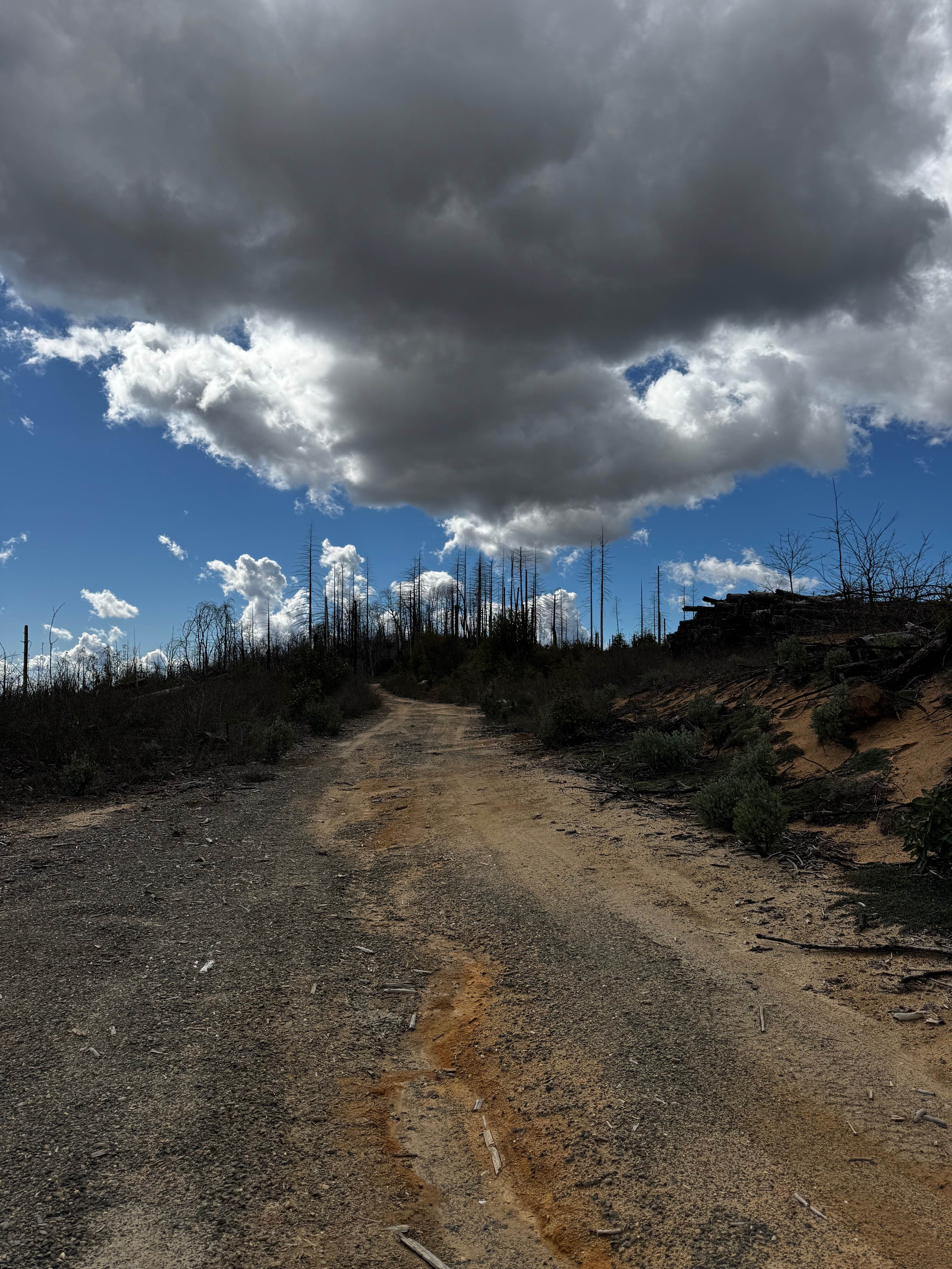
Learn more about Luman Loop - FS 6S086
Luman Loop - FS 6S086
Total Miles
5.0
Tech Rating
Easy
Best Time
Summer, Fall
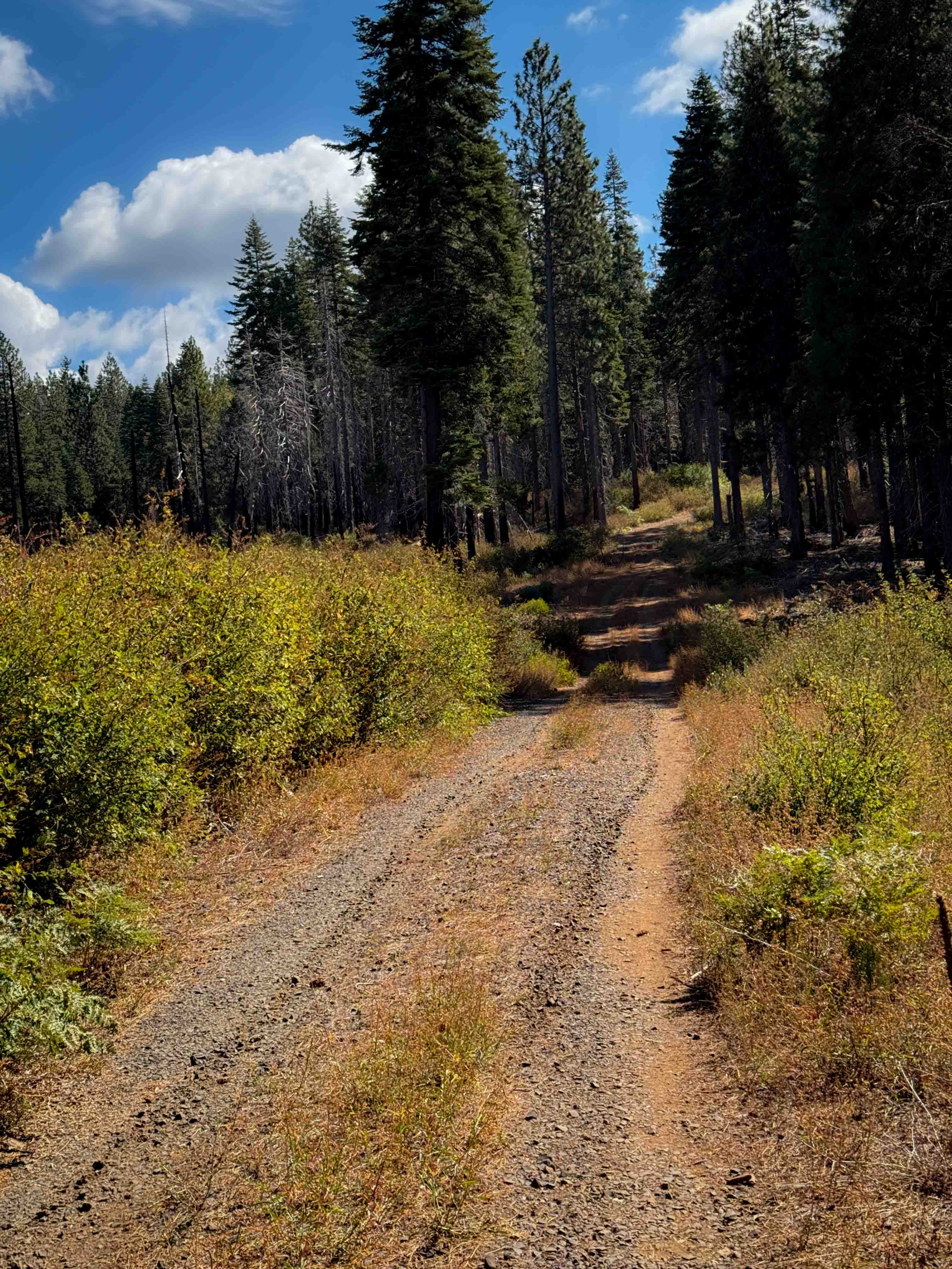
Learn more about Luna Mountain Crossover
Luna Mountain Crossover
Total Miles
3.5
Tech Rating
Moderate
Best Time
Fall, Summer, Spring

Learn more about Macedon Plantation Spur (Bypass)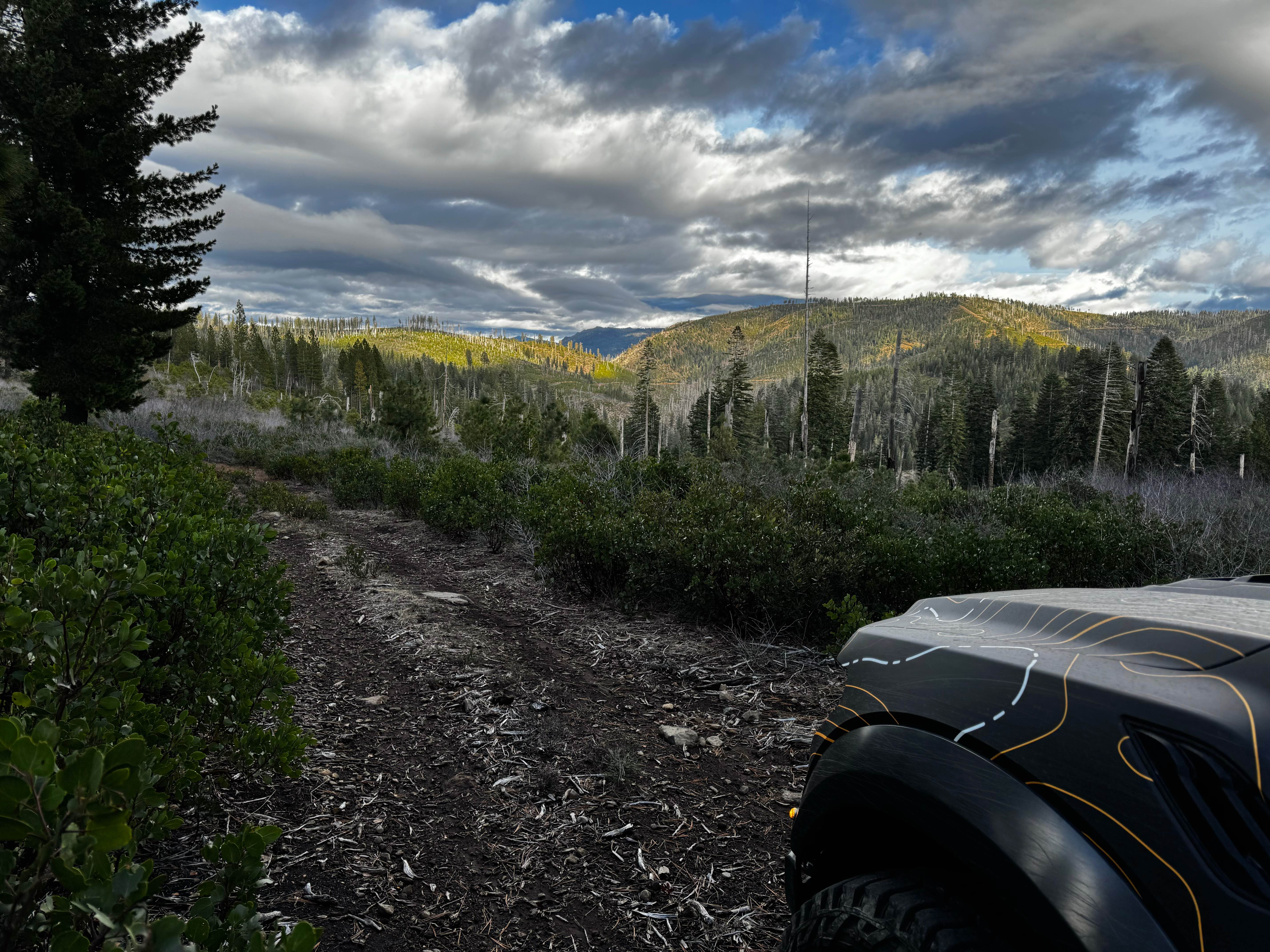
Macedon Plantation Spur (Bypass)
Total Miles
1.1
Tech Rating
Easy
Best Time
Spring, Summer, Fall
Learn more about Magic Mountain Summit Trail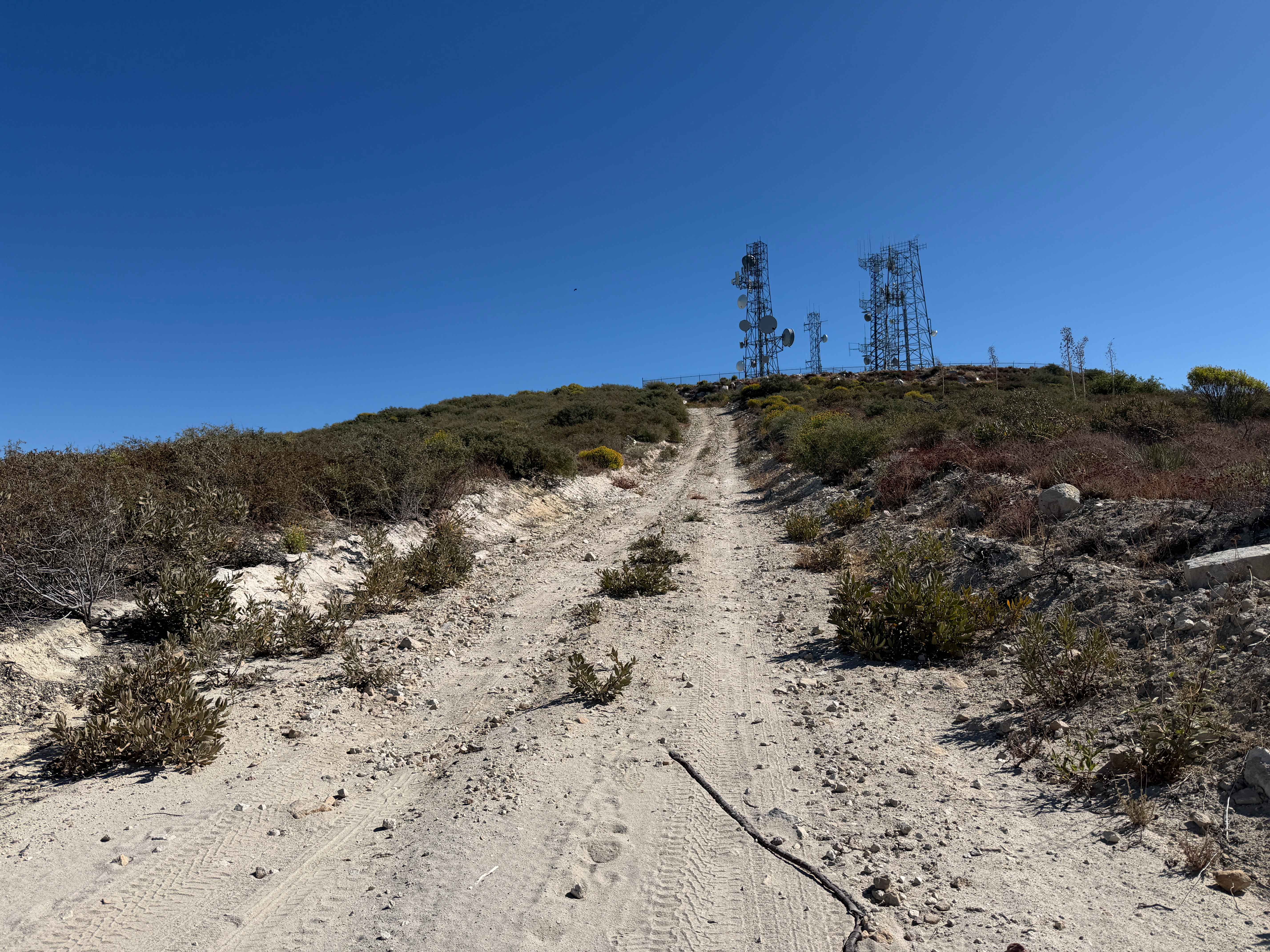
Magic Mountain Summit Trail
Total Miles
9.1
Tech Rating
Easy
Best Time
Spring, Summer, Fall, Winter
Learn more about Main Staging Area Into the Desert
Main Staging Area Into the Desert
Total Miles
3.0
Tech Rating
Moderate
Best Time
Winter, Fall, Spring
Learn more about Mammoth Basin Overlook Trail 3S37
Mammoth Basin Overlook Trail 3S37
Total Miles
1.8
Tech Rating
Easy
Best Time
Fall, Summer, Spring
Learn more about Mammoth Creek Road - FS 3S09
Mammoth Creek Road - FS 3S09
Total Miles
4.0
Tech Rating
Easy
Best Time
Summer, Fall
Learn more about Mammoth Knolls 3S4C
Mammoth Knolls 3S4C
Total Miles
0.4
Tech Rating
Easy
Best Time
Spring, Summer, Fall
Learn more about Mammoth Knolls Loop FS 3S123
Mammoth Knolls Loop FS 3S123
Total Miles
1.4
Tech Rating
Easy
Best Time
Summer, Fall
Learn more about Mammoth Knolls Summit and Viewpoint
Mammoth Knolls Summit and Viewpoint
Total Miles
0.1
Tech Rating
Easy
Best Time
Summer, Fall, Spring
Learn more about Mammoth Lakes Overlook
Mammoth Lakes Overlook
Total Miles
9.4
Tech Rating
Easy
Best Time
Summer, Spring
Learn more about Mammoth Mountain Trail 1
Mammoth Mountain Trail 1
Total Miles
15.9
Tech Rating
Easy
Best Time
Spring, Fall, Summer
Learn more about Mammoth View 3S34
Mammoth View 3S34
Total Miles
1.0
Tech Rating
Easy
Best Time
Fall, Summer, Spring
ATV trails in California


UTV/side-by-side trails in California


Learn more about 3N267 Fenner Saddle (4N12)
3N267 Fenner Saddle (4N12)
Total Miles
3.8
Tech Rating
Difficult
Best Time
Spring, Summer, Fall, Winter

The onX Offroad Difference
onX Offroad combines trail photos, descriptions, difficulty ratings, width restrictions, seasonality, and more in a user-friendly interface. Available on all devices, with offline access and full compatibility with CarPlay and Android Auto. Discover what you’re missing today!