Off-Road Trails in California
Discover off-road trails in California
Learn more about Manzanita Slope Loop
Manzanita Slope Loop
Total Miles
3.9
Tech Rating
Easy
Best Time
Summer, Spring, Fall
Learn more about Manzanita Spur FS3S35A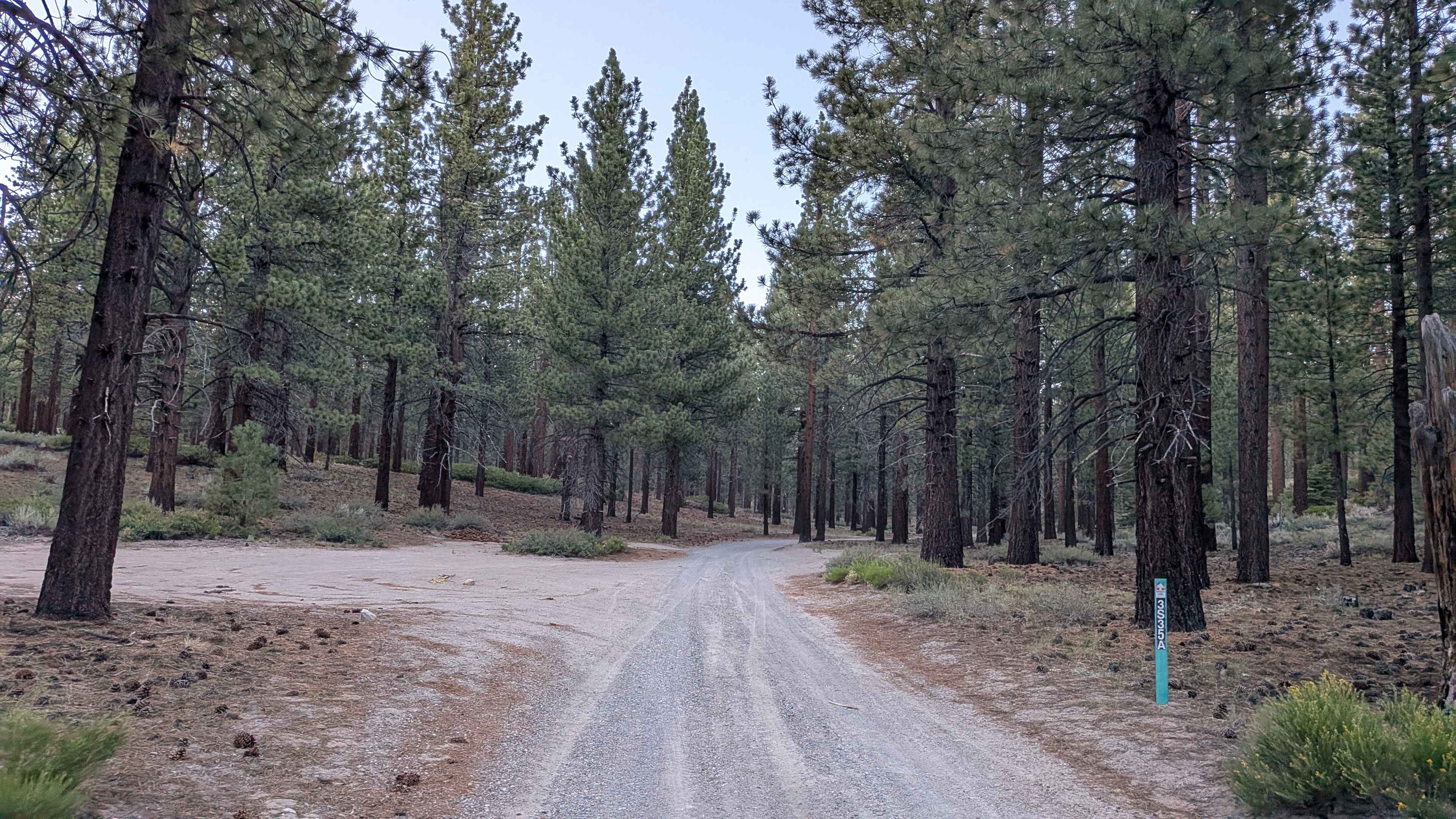
Manzanita Spur FS3S35A
Total Miles
0.7
Tech Rating
Easy
Best Time
Fall, Summer
Learn more about Manzanita Wash
Manzanita Wash
Total Miles
4.4
Tech Rating
Moderate
Best Time
Spring, Summer, Fall, Winter
Learn more about Maple Spring Road
Maple Spring Road
Total Miles
12.2
Tech Rating
Easy
Best Time
Winter, Summer, Fall, Spring
Learn more about Marshall Peak Summit
Marshall Peak Summit
Total Miles
0.3
Tech Rating
Difficult
Best Time
Spring, Summer, Fall, Winter
Learn more about Matheson Trams
Matheson Trams
Total Miles
15.1
Tech Rating
Moderate
Best Time
Spring, Summer, Fall
Learn more about Maxwell Road
Maxwell Road
Total Miles
10.0
Tech Rating
Easy
Best Time
Spring, Summer, Fall
Learn more about Mazourka Canyon
Mazourka Canyon
Total Miles
35.9
Tech Rating
Moderate
Best Time
Spring, Summer, Fall, Winter
Learn more about Mc Creary Glade - FS 17N99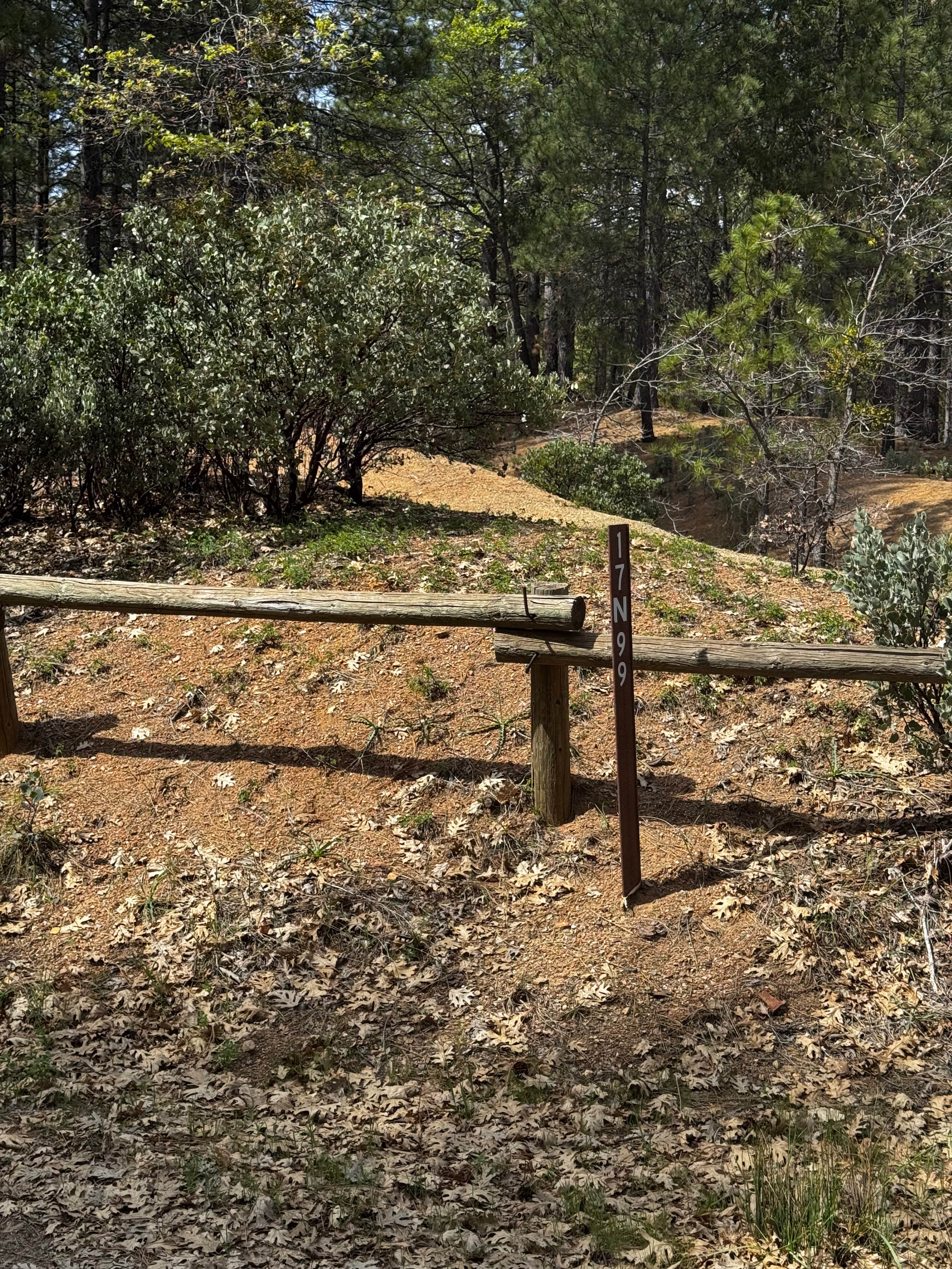
Mc Creary Glade - FS 17N99
Total Miles
5.6
Tech Rating
Easy
Best Time
Spring, Summer, Fall
Learn more about McCain Valley Road
McCain Valley Road
Total Miles
13.7
Tech Rating
Easy
Best Time
Spring, Summer, Fall, Winter
Learn more about McCloud River 38N53
McCloud River 38N53
Total Miles
7.2
Tech Rating
Easy
Best Time
Summer, Fall
Learn more about McGee Canyon Road
McGee Canyon Road
Total Miles
9.3
Tech Rating
Easy
Best Time
Spring, Summer, Fall
Learn more about McGee Canyon West
McGee Canyon West
Total Miles
1.6
Tech Rating
Easy
Best Time
Summer, Spring, Fall
Learn more about McGee Mtn Rd Summit
McGee Mtn Rd Summit
Total Miles
6.3
Tech Rating
Moderate
Best Time
Summer, Fall, Spring
Learn more about McGee Ridge - 1S97
McGee Ridge - 1S97
Total Miles
1.6
Tech Rating
Easy
Best Time
Summer, Fall, Spring
Learn more about McIvers Cabin Trailhead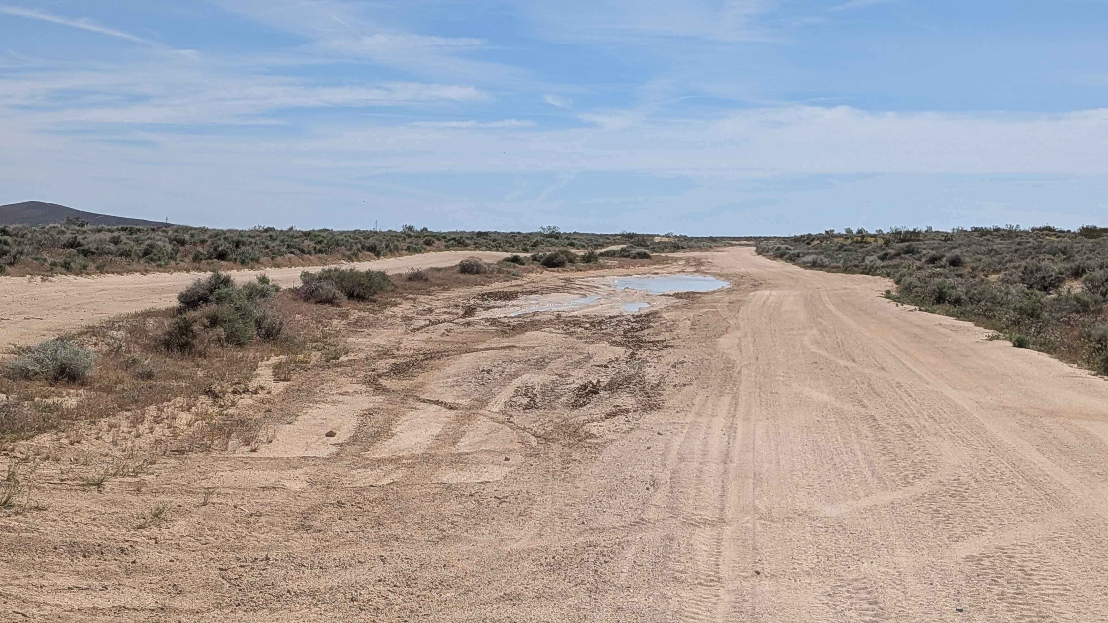
McIvers Cabin Trailhead
Total Miles
3.0
Tech Rating
Easy
Best Time
Fall, Summer, Spring
Learn more about McIvers Road
McIvers Road
Total Miles
2.0
Tech Rating
Moderate
Best Time
Fall, Summer, Spring
Learn more about McIvers South Trailhead
McIvers South Trailhead
Total Miles
2.6
Tech Rating
Easy
Best Time
Summer, Fall, Spring
ATV trails in California


UTV/side-by-side trails in California


Learn more about 3N267 Fenner Saddle (4N12)
3N267 Fenner Saddle (4N12)
Total Miles
3.8
Tech Rating
Difficult
Best Time
Spring, Summer, Fall, Winter

The onX Offroad Difference
onX Offroad combines trail photos, descriptions, difficulty ratings, width restrictions, seasonality, and more in a user-friendly interface. Available on all devices, with offline access and full compatibility with CarPlay and Android Auto. Discover what you’re missing today!