Off-Road Trails in California
Discover off-road trails in California
Learn more about Little Dry Meadow
Little Dry Meadow
Total Miles
1.6
Tech Rating
Easy
Best Time
Fall, Summer, Spring
Learn more about Little Green Valley
Little Green Valley
Total Miles
3.8
Tech Rating
Moderate
Best Time
Summer, Fall
Learn more about Little Hot Creek Hill Loop
Little Hot Creek Hill Loop
Total Miles
1.2
Tech Rating
Moderate
Best Time
Summer, Spring, Fall

Learn more about Little Poison Meadow - FS 6S099
Little Poison Meadow - FS 6S099
Total Miles
3.6
Tech Rating
Moderate
Best Time
Summer, Fall
Learn more about Little Poso Creek - FS 26S12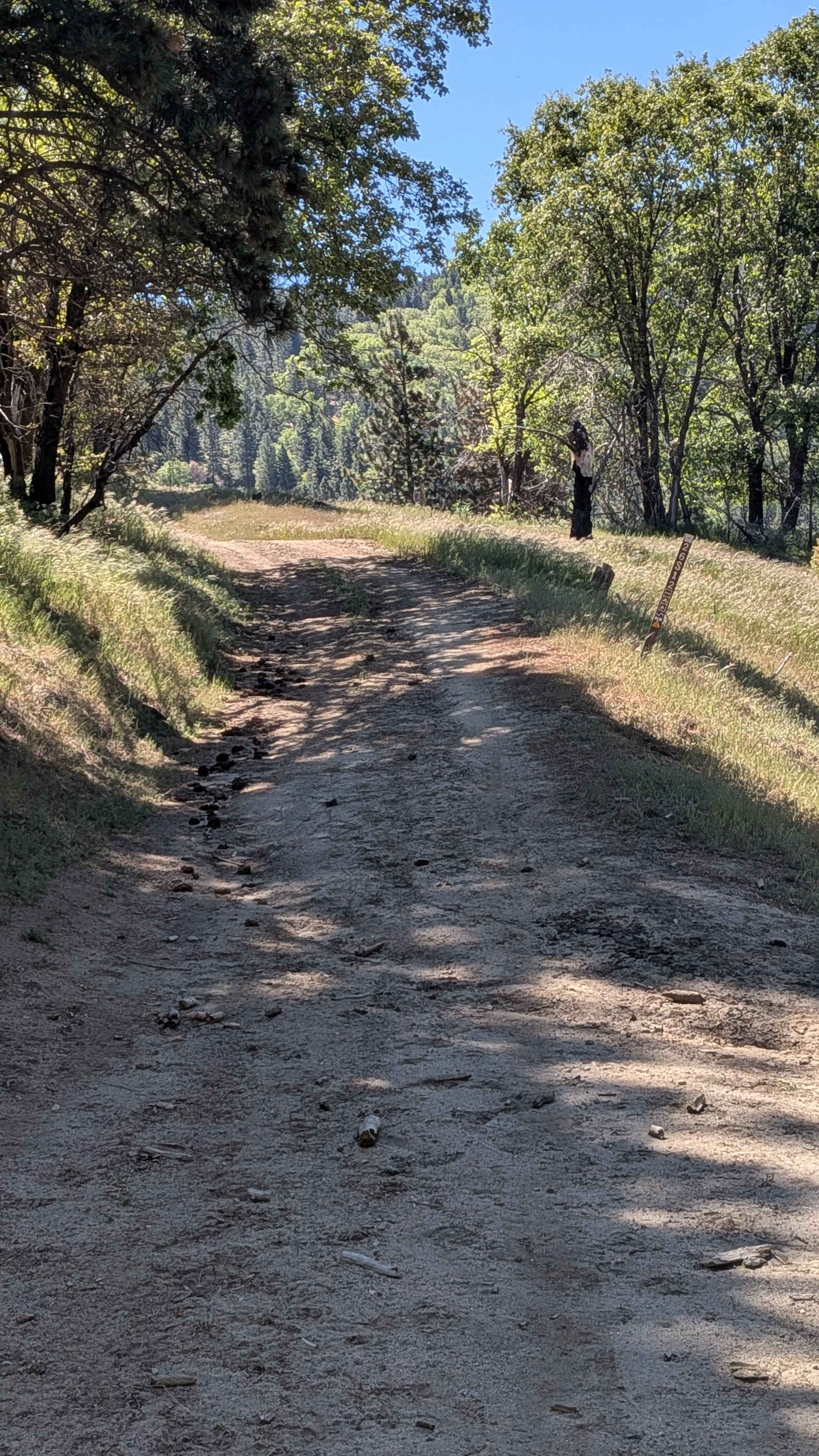
Little Poso Creek - FS 26S12
Total Miles
1.7
Tech Rating
Easy
Best Time
Fall, Summer, Spring
Learn more about Little Round - FS 17N37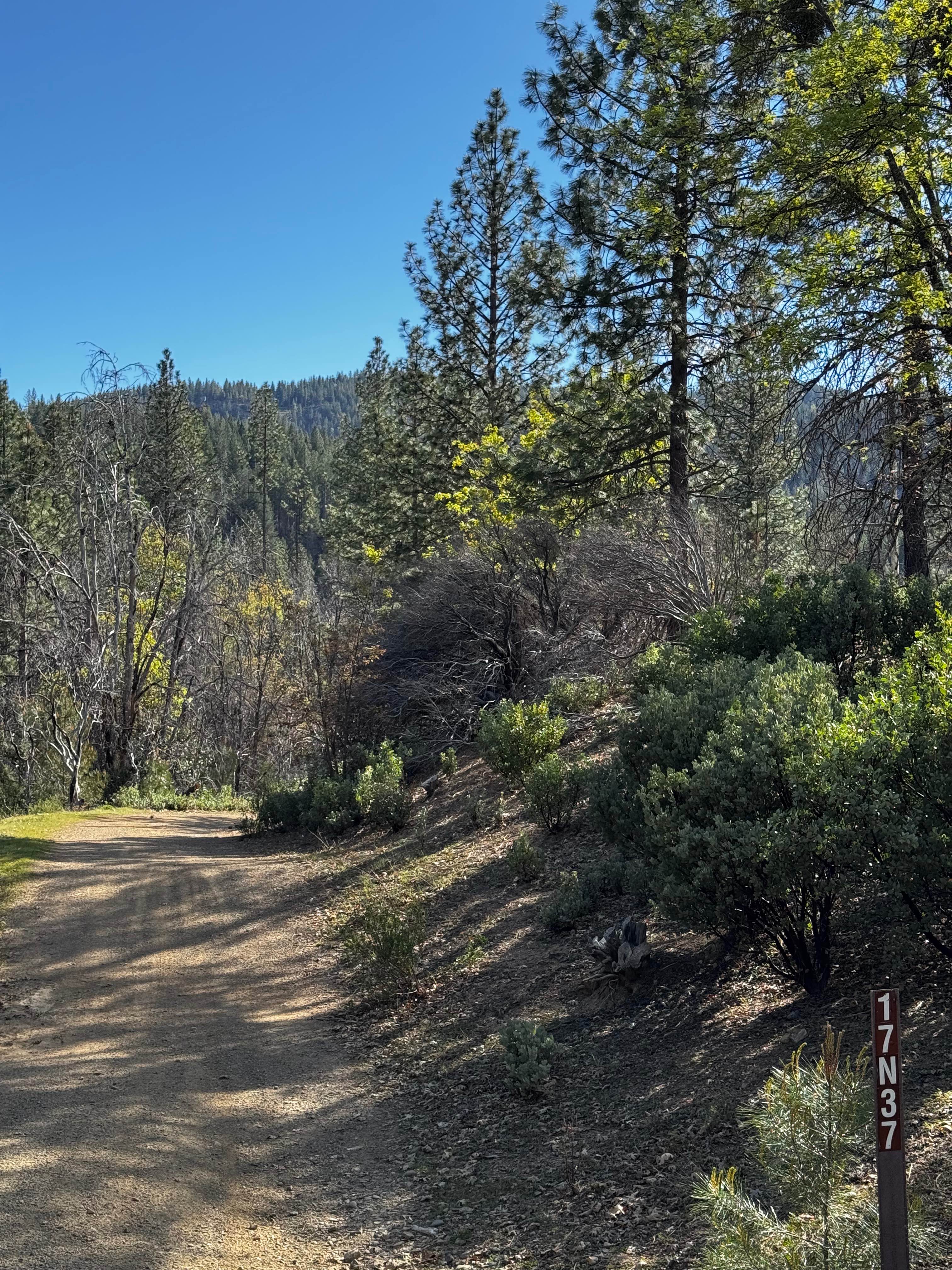
Little Round - FS 17N37
Total Miles
1.5
Tech Rating
Easy
Best Time
Spring, Summer, Fall
Learn more about Little Round Top Trail
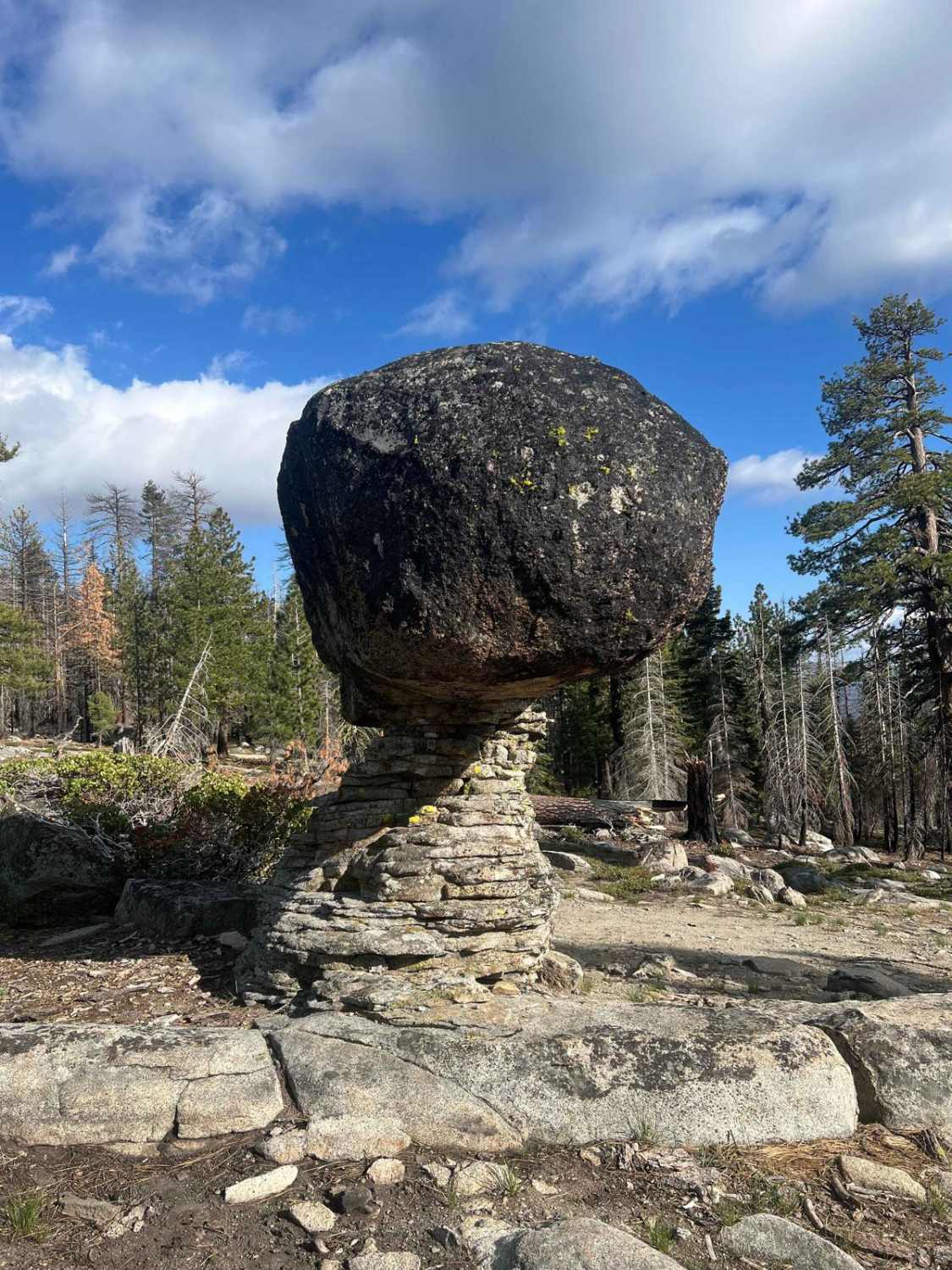
Little Round Top Trail
Total Miles
3.0
Tech Rating
Moderate
Best Time
Fall, Summer
Learn more about Little Walker Road - FS 22057
Little Walker Road - FS 22057
Total Miles
4.5
Tech Rating
Easy
Best Time
Summer, Fall, Spring
Learn more about Lizard Canyon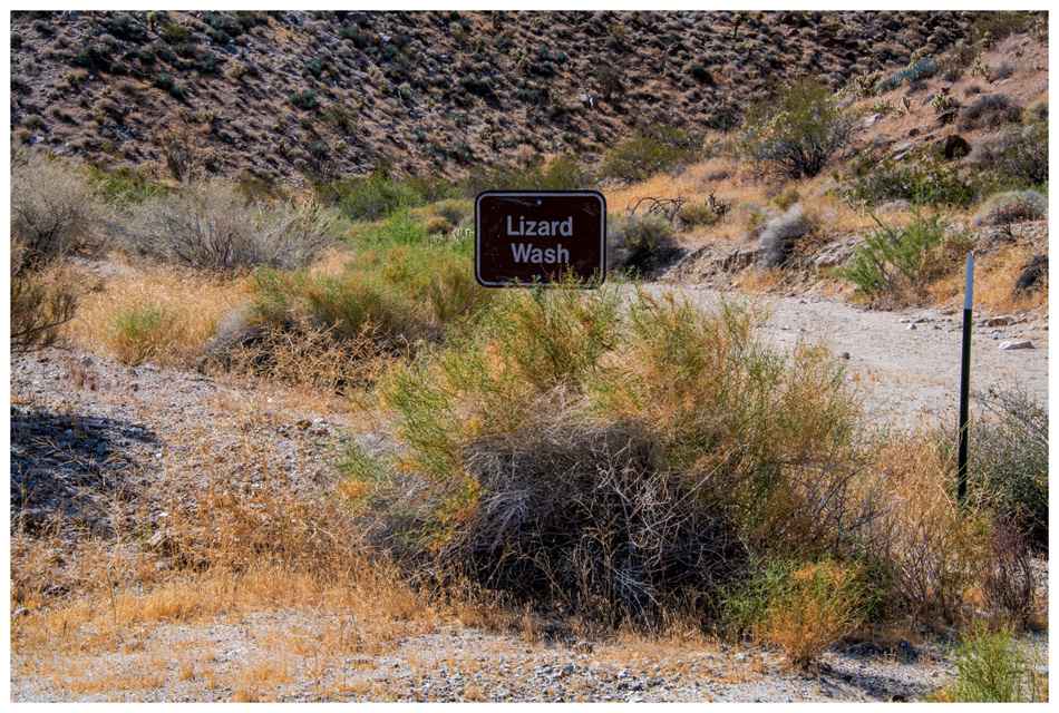
Lizard Canyon
Total Miles
2.9
Tech Rating
Easy
Best Time
Winter, Fall, Spring
Learn more about Lockwood Creek Trail - 20W06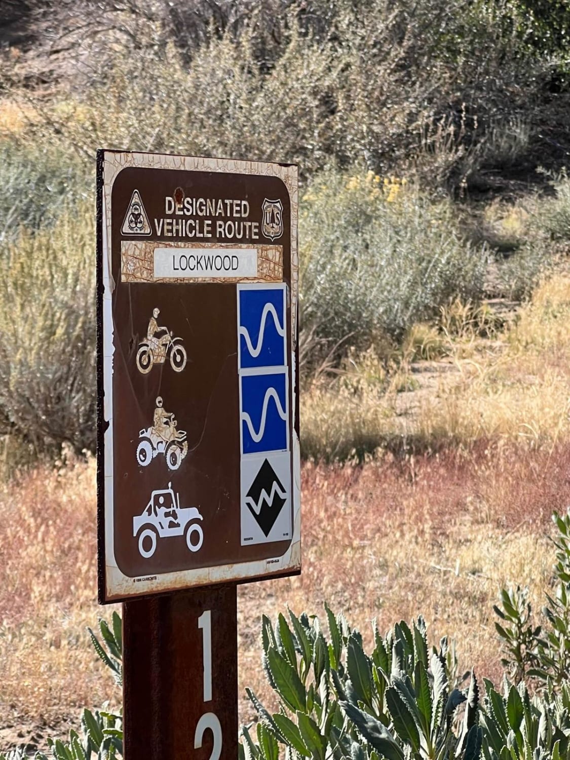
Lockwood Creek Trail - 20W06
Total Miles
10.0
Tech Rating
Moderate
Best Time
Spring, Summer, Fall
Learn more about Lodgepole - FS 9s027
Lodgepole - FS 9s027
Total Miles
2.8
Tech Rating
Easy
Best Time
Summer, Fall
Learn more about Log Cabin Mine Ridgeline
Log Cabin Mine Ridgeline
Total Miles
8.2
Tech Rating
Moderate
Best Time
Spring, Summer, Fall
Learn more about Lone Star - FS 26S24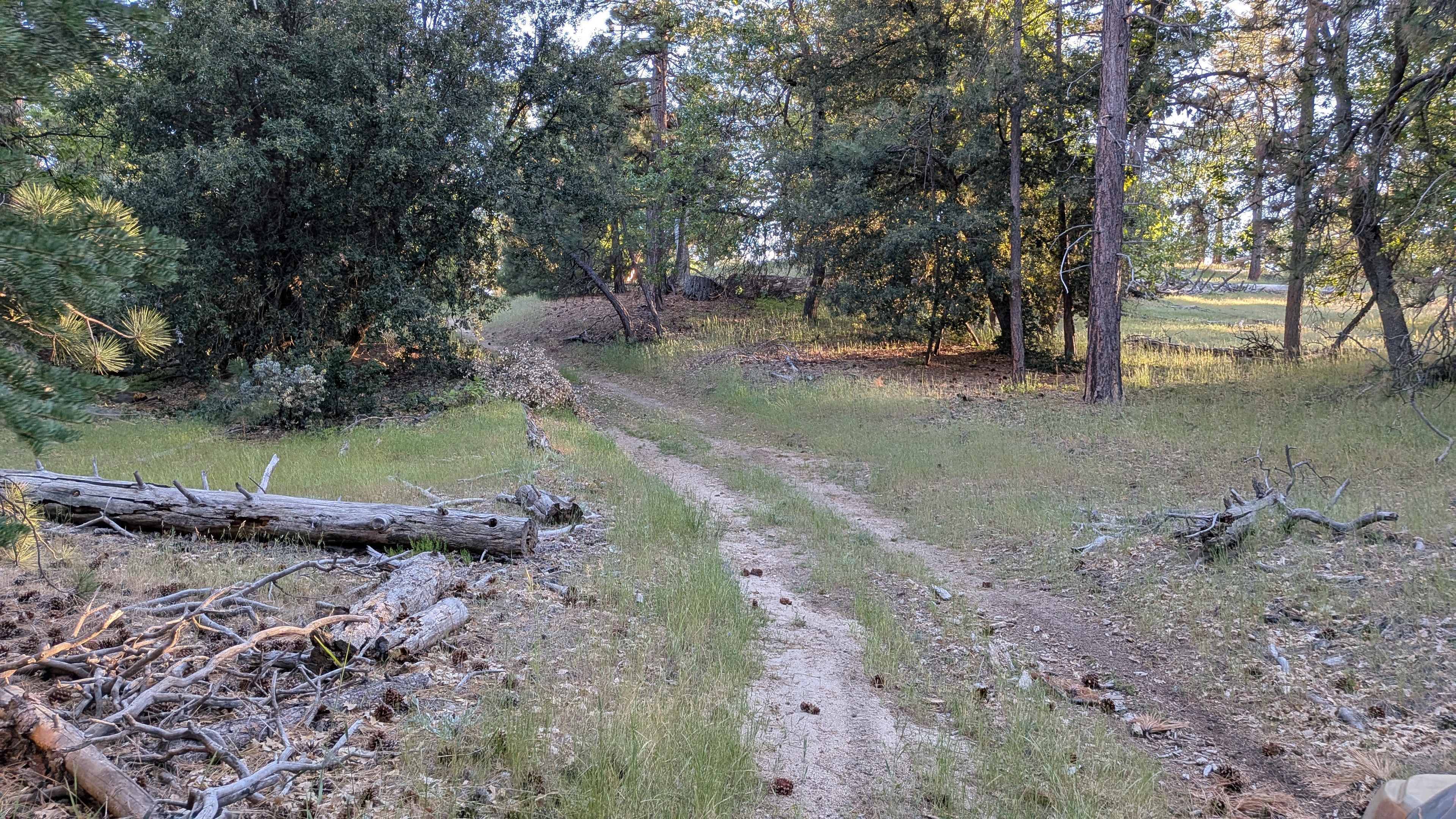
Lone Star - FS 26S24
Total Miles
1.1
Tech Rating
Easy
Best Time
Fall, Summer, Spring
Learn more about Long Canyon Bald Mountain Connector
Long Canyon Bald Mountain Connector
Total Miles
1.1
Tech Rating
Moderate
Best Time
Summer
Learn more about Long Lake Trail/TKS-11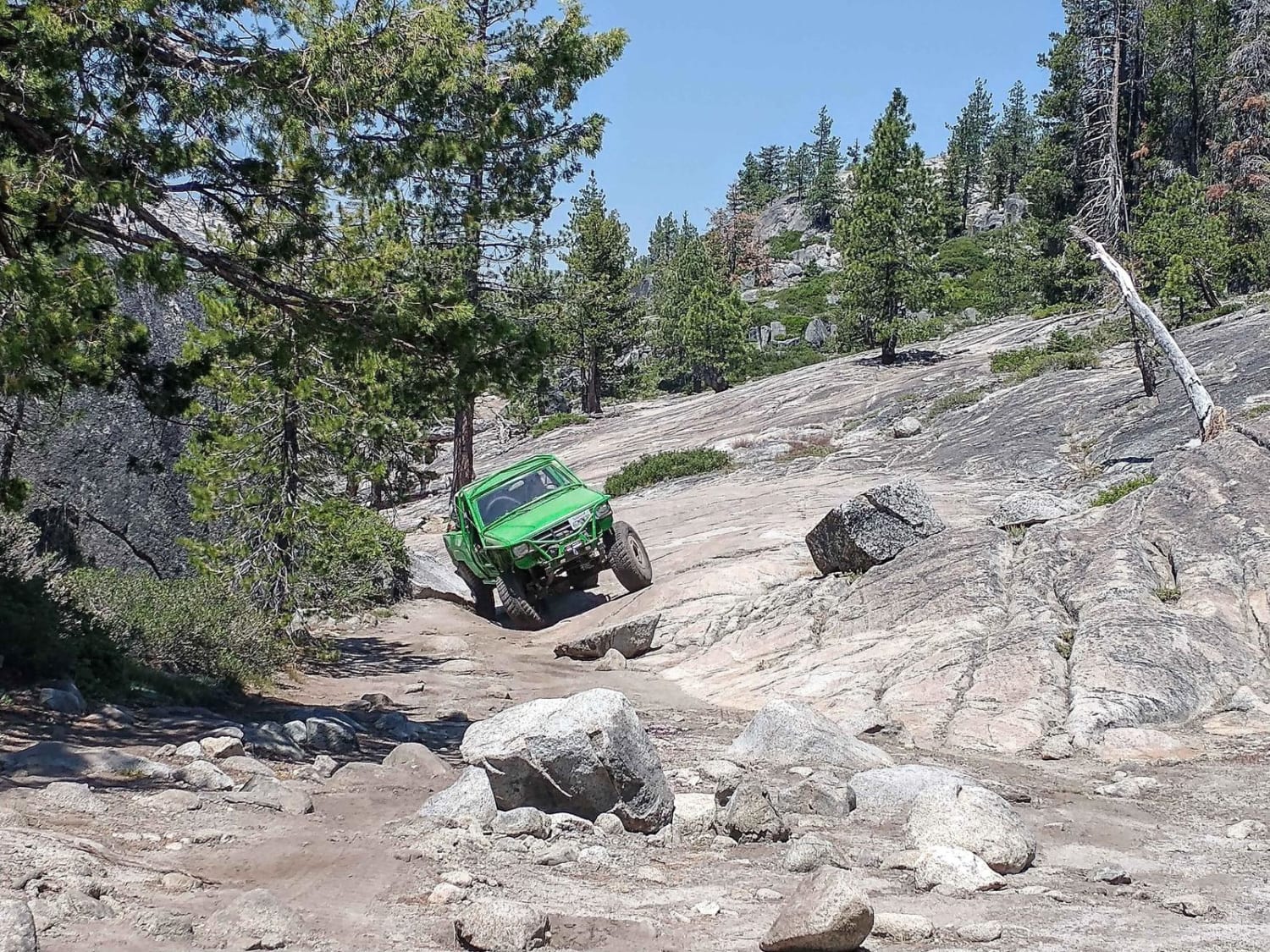
Long Lake Trail/TKS-11
Total Miles
1.0
Tech Rating
Difficult
Best Time
Summer, Fall, Spring
Learn more about Long Meadow - FS 5S022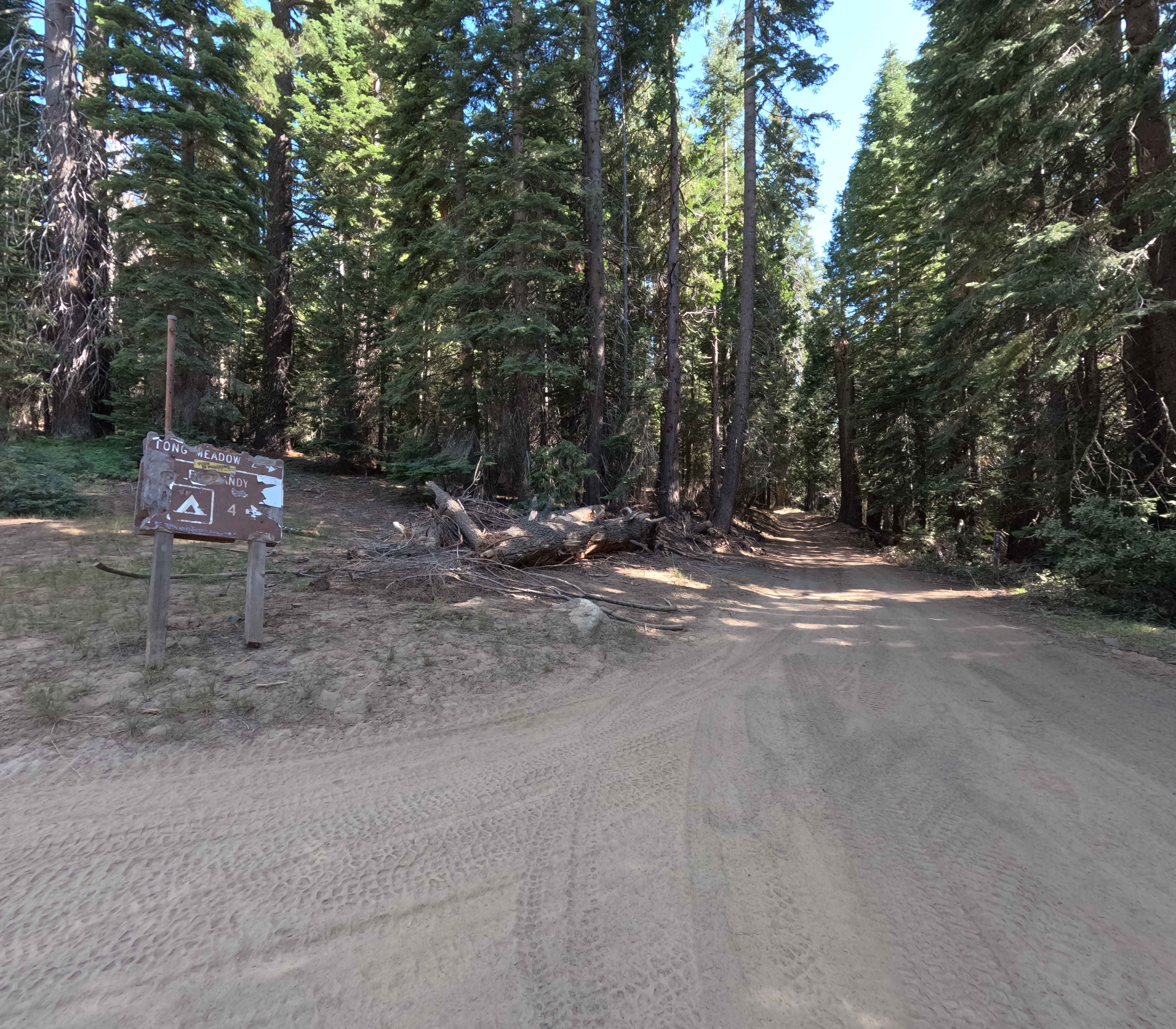
Long Meadow - FS 5S022
Total Miles
3.6
Tech Rating
Easy
Best Time
Summer, Fall
ATV trails in California


UTV/side-by-side trails in California


Learn more about 3N267 Fenner Saddle (4N12)
3N267 Fenner Saddle (4N12)
Total Miles
3.8
Tech Rating
Difficult
Best Time
Spring, Summer, Fall, Winter

The onX Offroad Difference
onX Offroad combines trail photos, descriptions, difficulty ratings, width restrictions, seasonality, and more in a user-friendly interface. Available on all devices, with offline access and full compatibility with CarPlay and Android Auto. Discover what you’re missing today!