Lodgepole - FS 9s027
Total Miles
2.8
Technical Rating
Best Time
Summer, Fall
Trail Type
Full-Width Road
Accessible By
Trail Overview
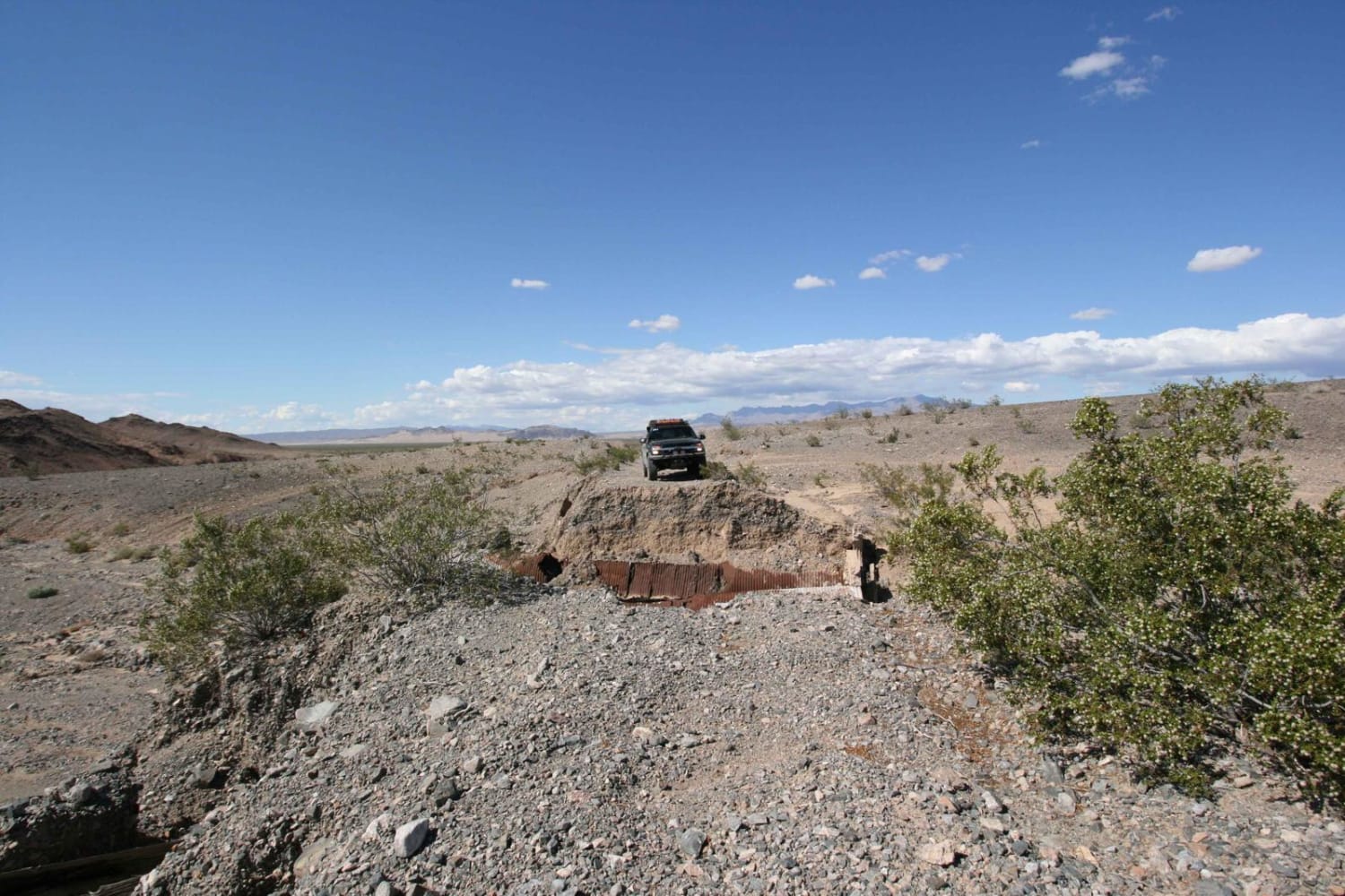
This 2.8-mile road is a key connector designed for efficient travel through the high country. The trail is a wide, smooth two-track that traverses a vast expanse of the 2020 Creek Wildfire burn scar (visible in photos), granting incredible exposure and panoramic views. The roadbed is predominantly smooth, loose duff, allowing for easy driving, but features occasional embedded rock and short patches of exposed granite that require mild caution. The 30-minute drive time reflects the deliberate, low-speed pace necessary for constant vigilance against the extreme environmental hazards in this exposed, sun-drenched landscape. There is a great overlook dispersed campsite at 37.17293, -119.229.
Photos of Lodgepole - FS 9s027


Difficulty
This road is navigable by all passenger vehicles when dry, as the tread is wide and well-defined. The rating is assigned due to the scattered embedded rock and exposed granite sections that necessitate high clearance for sustained comfort and to avoid undercarriage impact. No Four Wheel Drive is required, but the low 5.6 mph average speed highlights the caution needed when traveling in an extreme snag hazard zone.
Status Reports
Lodgepole - FS 9s027 can be accessed by the following ride types:
- High-Clearance 4x4
- SUV
Lodgepole - FS 9s027 Map
Popular Trails
EMHT Segment 3: Rocky Ridge to Fenner
EMHT Segment 2: Ivanpah to Rocky Ridge
The onX Offroad Difference
onX Offroad combines trail photos, descriptions, difficulty ratings, width restrictions, seasonality, and more in a user-friendly interface. Available on all devices, with offline access and full compatibility with CarPlay and Android Auto. Discover what you’re missing today!