Off-Road Trails in California
Discover off-road trails in California
Learn more about Lake Crowley Beach NE Cutoff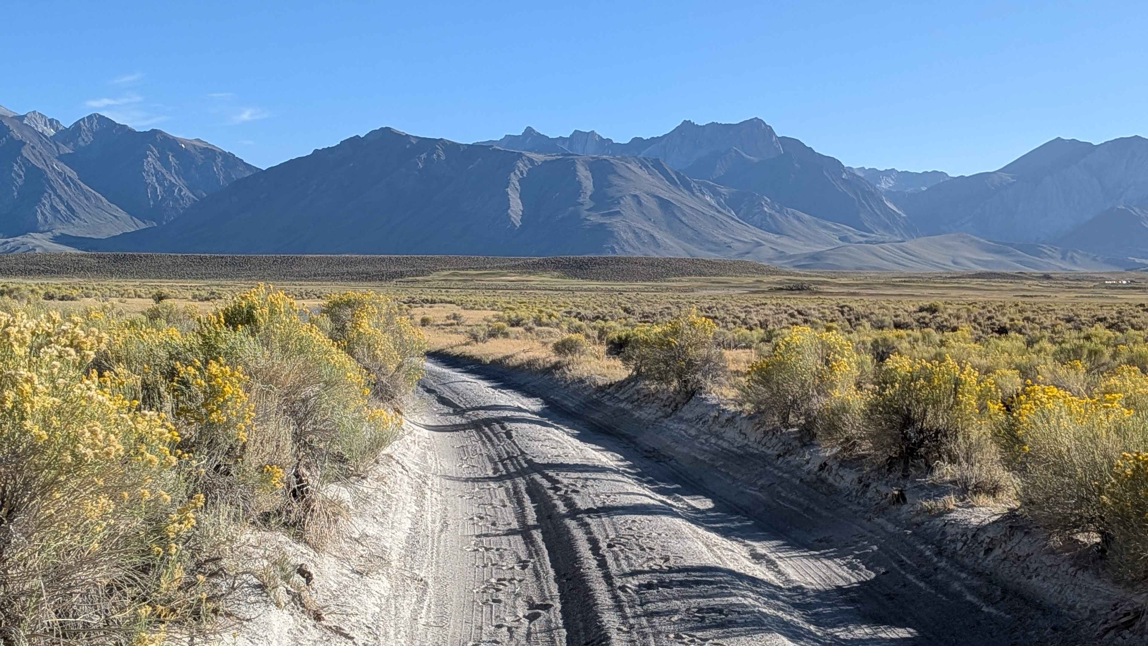
Lake Crowley Beach NE Cutoff
Total Miles
1.1
Tech Rating
Easy
Best Time
Spring, Summer, Fall
Learn more about Lake Crowley Beach NE Run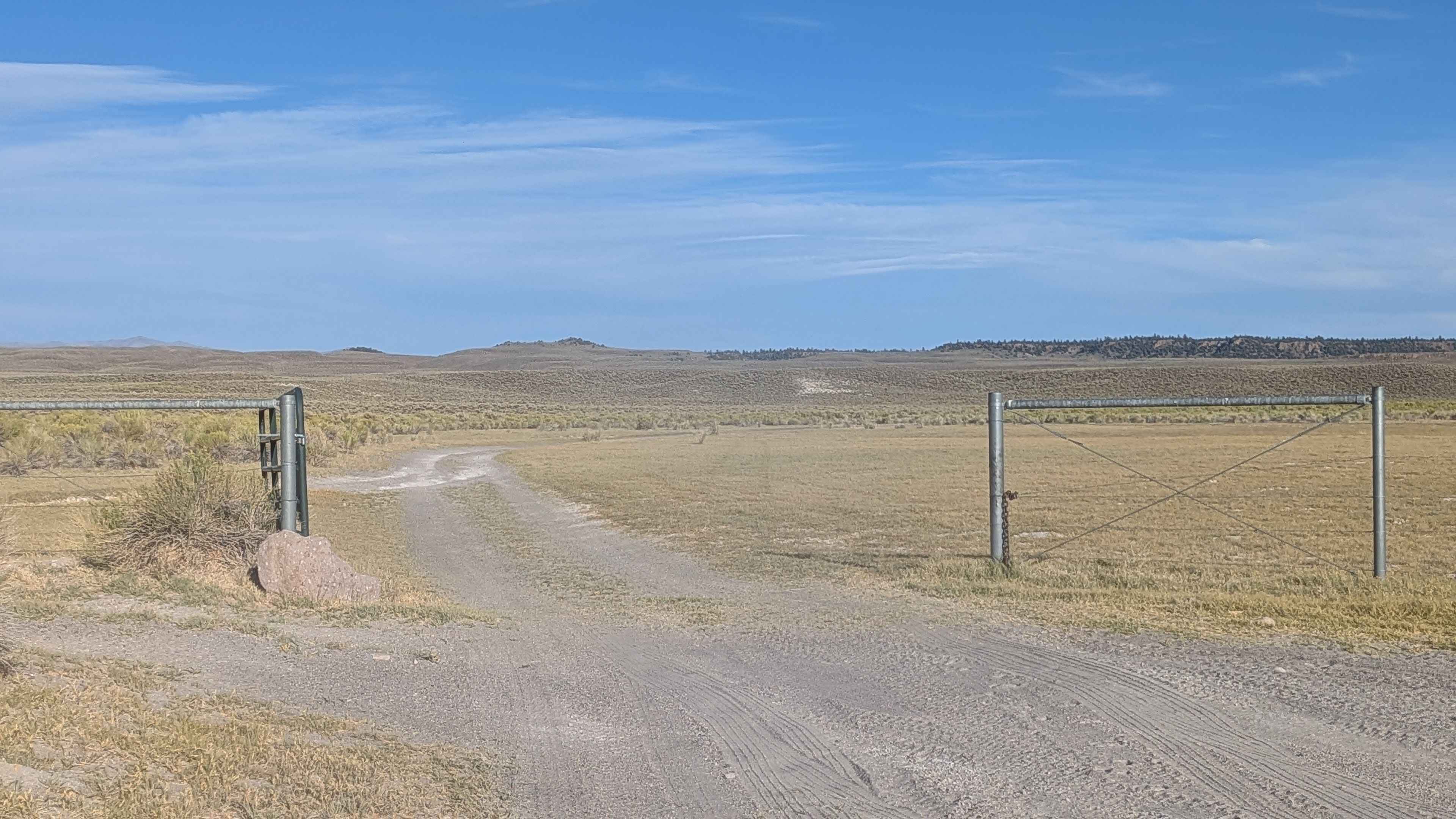
Lake Crowley Beach NE Run
Total Miles
2.7
Tech Rating
Easy
Best Time
Summer, Fall
Learn more about Lake Crowley North Landing 1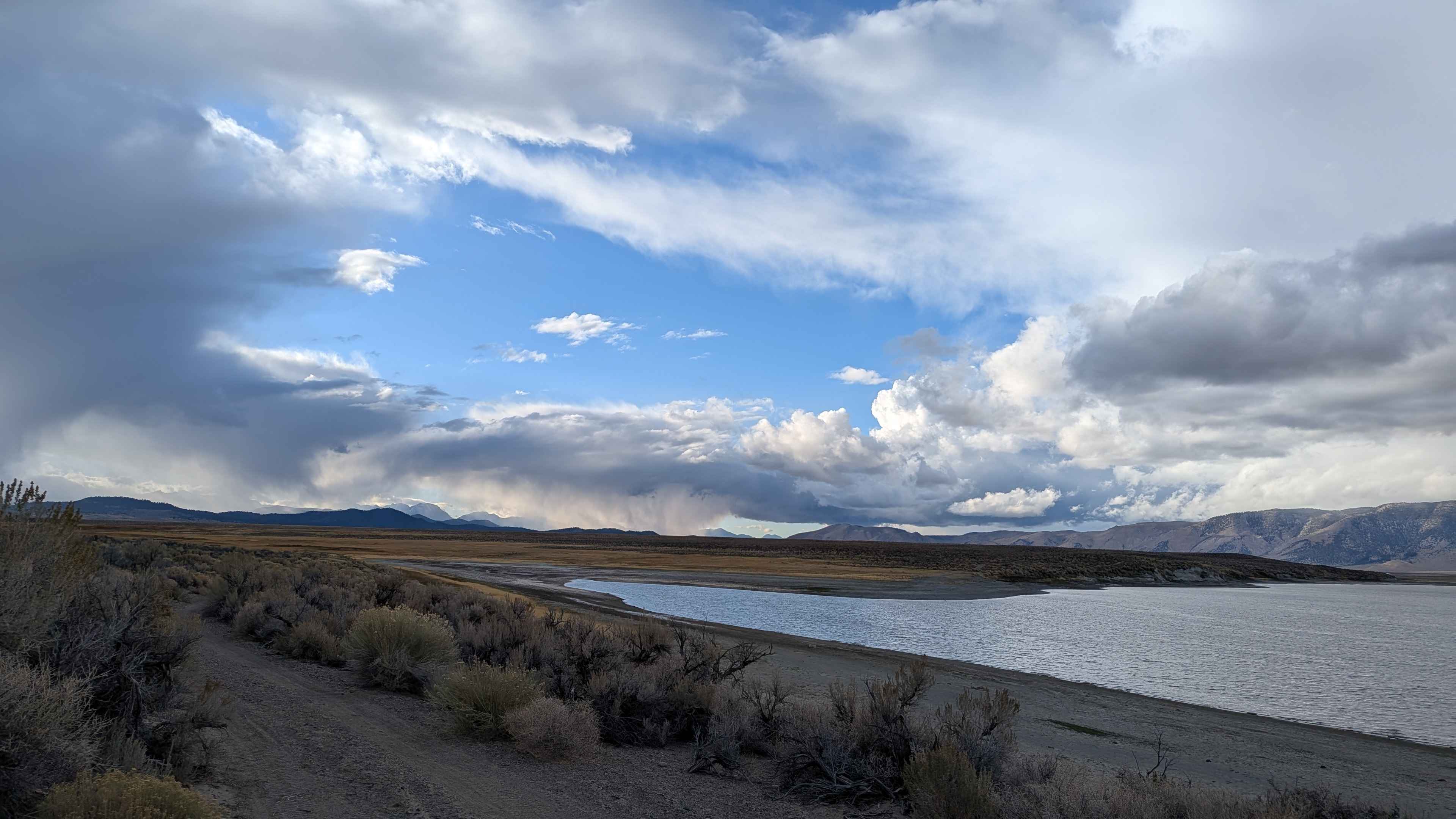
Lake Crowley North Landing 1
Total Miles
3.9
Tech Rating
Easy
Best Time
Fall, Summer
Learn more about Lake Crowley North Landing 2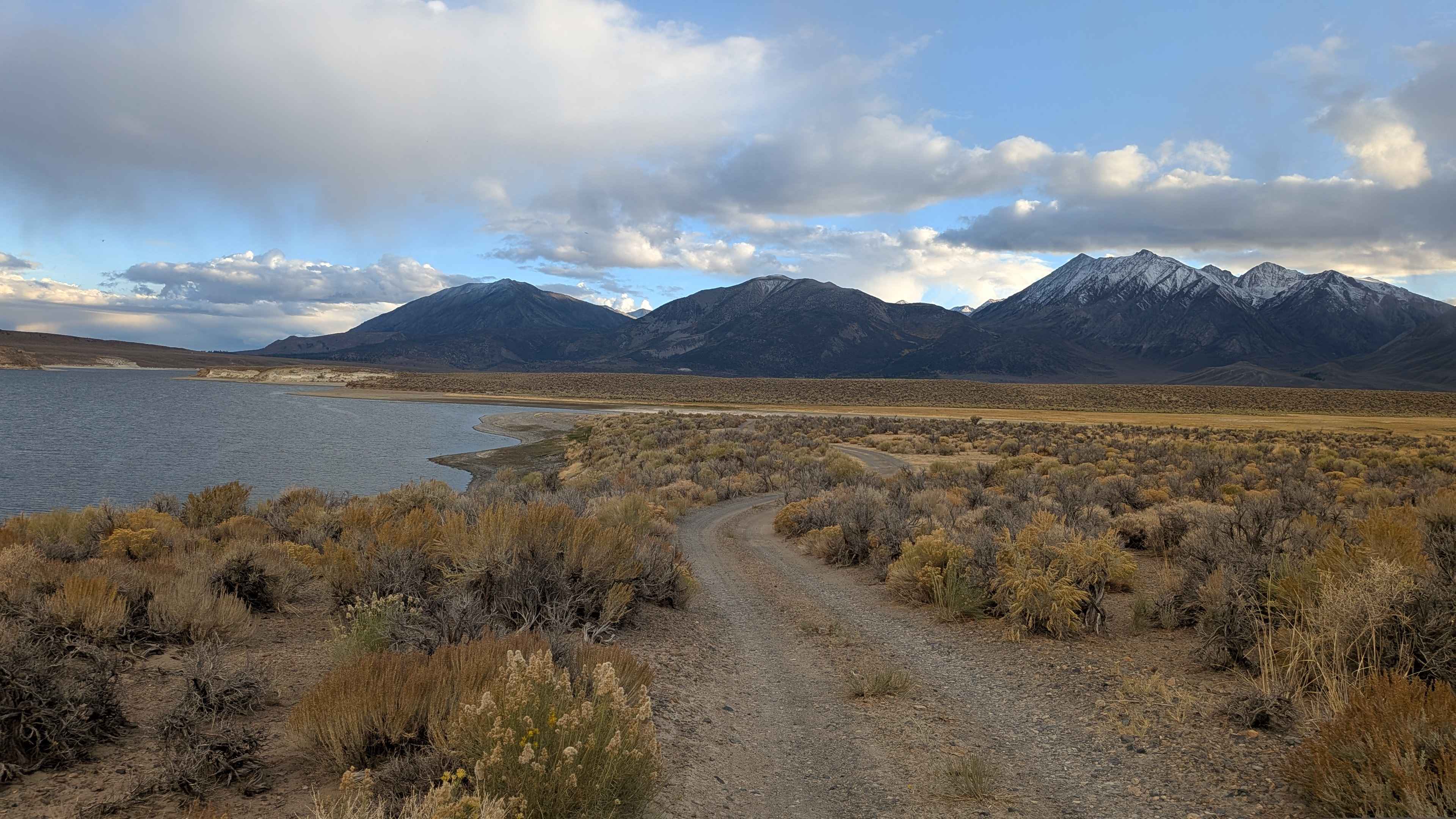
Lake Crowley North Landing 2
Total Miles
2.9
Tech Rating
Easy
Best Time
Fall, Summer, Spring
Learn more about Lake Crowley North Landing Shoreline Loop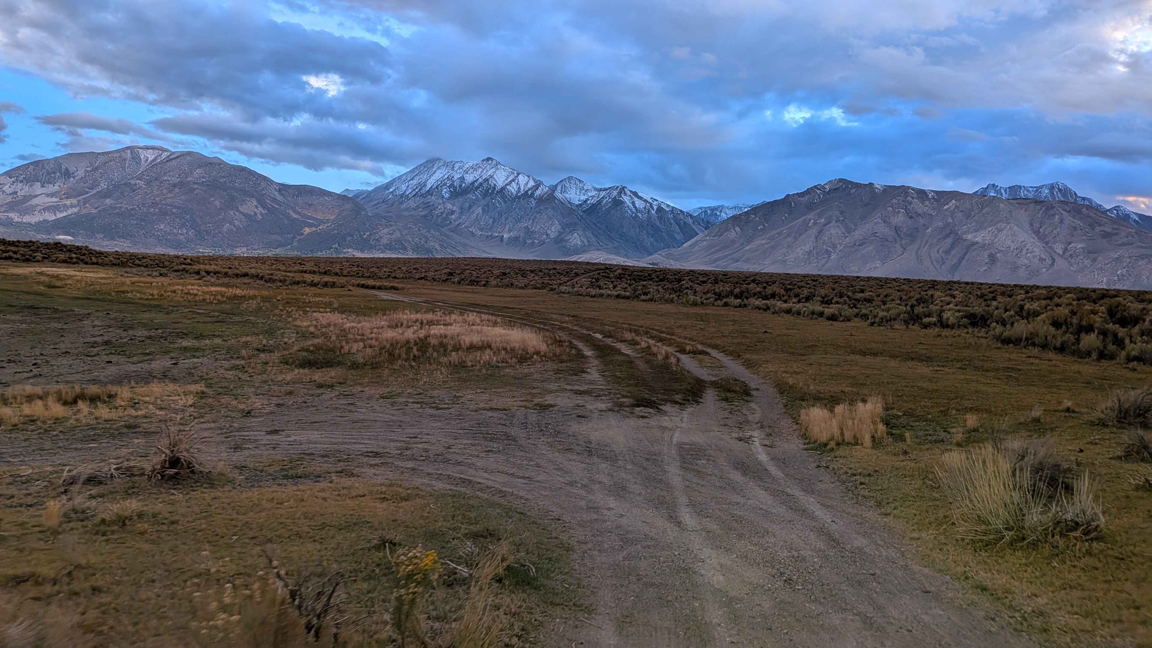
Lake Crowley North Landing Shoreline Loop
Total Miles
5.0
Tech Rating
Easy
Best Time
Fall, Summer
Learn more about Lake Crowley Northwest Cutoff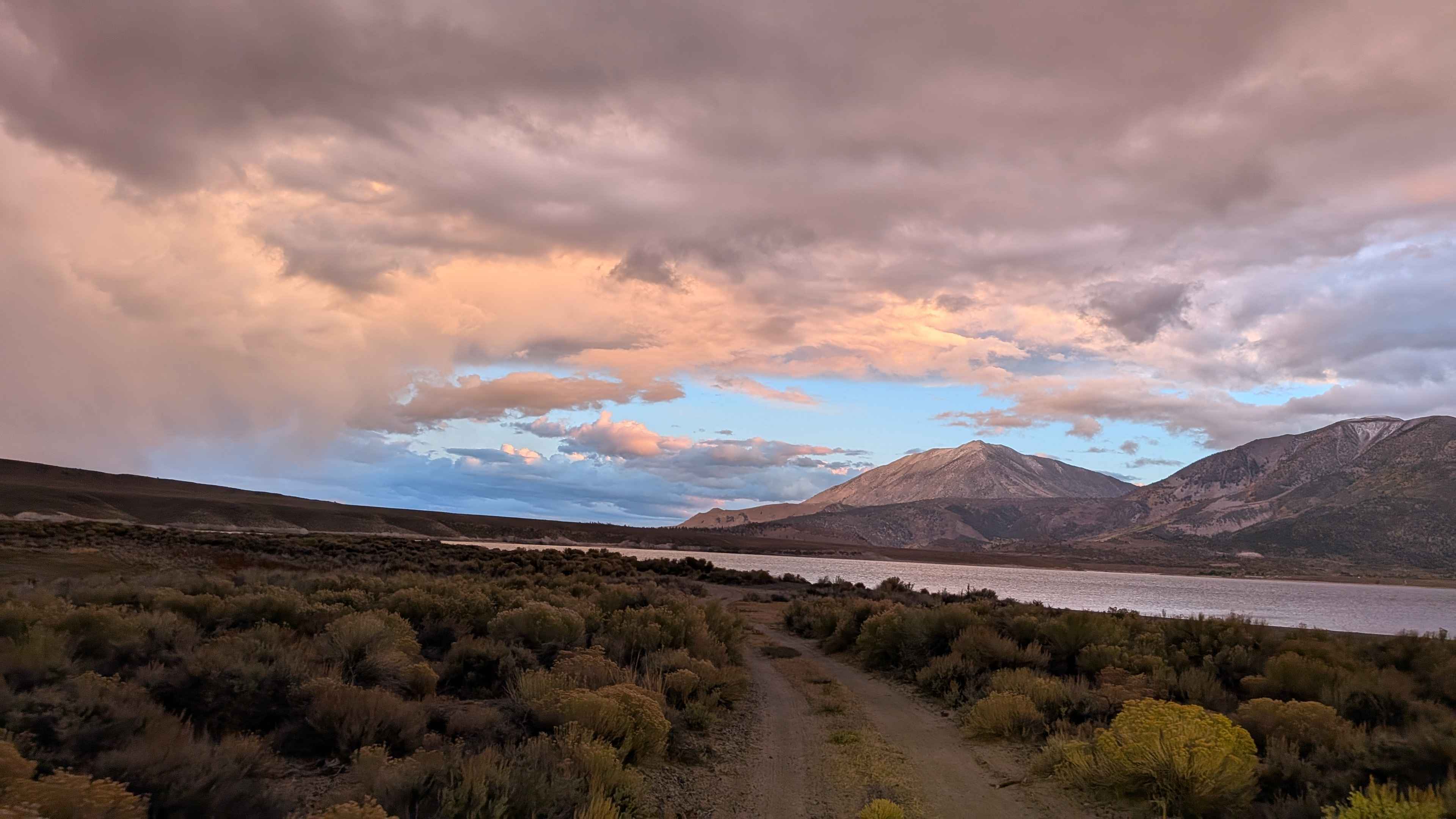
Lake Crowley Northwest Cutoff
Total Miles
2.8
Tech Rating
Easy
Best Time
Fall, Summer
Learn more about Lake Hughes Truck Trail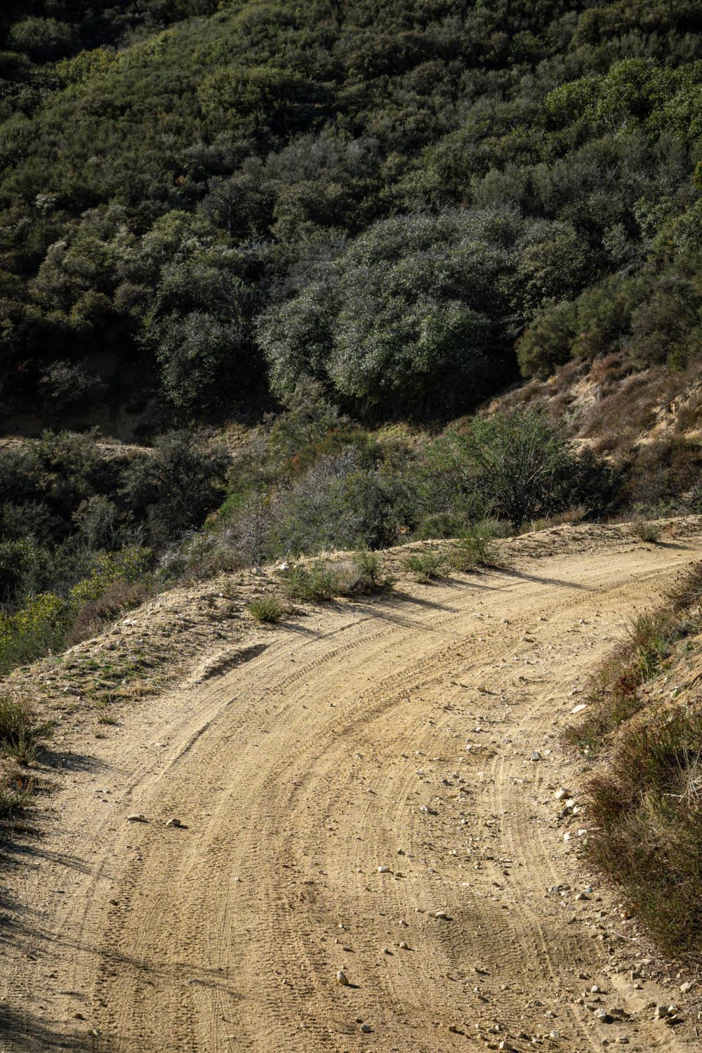
Lake Hughes Truck Trail
Total Miles
3.3
Tech Rating
Easy
Best Time
Summer, Fall, Winter, Spring
Learn more about Lake Hughes/Grass Mountain Connector Trail
Lake Hughes/Grass Mountain Connector Trail
Total Miles
0.7
Tech Rating
Easy
Best Time
Spring, Summer, Winter, Fall
Learn more about Lake Shore - FS 96-063
Lake Shore - FS 96-063
Total Miles
2.8
Tech Rating
Easy
Best Time
Spring, Summer, Fall
Learn more about Lakeshore Trail
Lakeshore Trail
Total Miles
2.9
Tech Rating
Easy
Best Time
Spring, Summer, Winter
Learn more about Landing Strip of Washouts
Landing Strip of Washouts
Total Miles
4.1
Tech Rating
Moderate
Best Time
Spring, Fall, Winter
Learn more about Last Chance (#55)
Last Chance (#55)
Total Miles
5.7
Tech Rating
Easy
Best Time
Spring, Fall
Learn more about Last Chance Canyon
Last Chance Canyon
Total Miles
16.9
Tech Rating
Moderate
Best Time
Winter, Spring, Summer, Fall
Learn more about Last Chance Road 13E17/FS 44-022
Last Chance Road 13E17/FS 44-022
Total Miles
6.8
Tech Rating
Easy
Best Time
Spring, Summer, Fall
Learn more about Last Chance to Lloyd Meadow
Last Chance to Lloyd Meadow
Total Miles
6.4
Tech Rating
Easy
Best Time
Spring, Summer, Fall
Learn more about Laurel Lakes - FS 28E201
Laurel Lakes - FS 28E201
Total Miles
5.0
Tech Rating
Moderate
Best Time
Summer, Fall
Learn more about Lazy M - FS 9s045
Lazy M - FS 9s045
Total Miles
1.8
Tech Rating
Moderate
Best Time
Summer, Fall
ATV trails in California


UTV/side-by-side trails in California


Learn more about 3N267 Fenner Saddle (4N12)
3N267 Fenner Saddle (4N12)
Total Miles
3.8
Tech Rating
Difficult
Best Time
Spring, Summer, Fall, Winter

The onX Offroad Difference
onX Offroad combines trail photos, descriptions, difficulty ratings, width restrictions, seasonality, and more in a user-friendly interface. Available on all devices, with offline access and full compatibility with CarPlay and Android Auto. Discover what you’re missing today!