Latrobe Road
Total Miles
5.1
Technical Rating
Best Time
Spring
Trail Type
Full-Width Road
Accessible By
Trail Overview
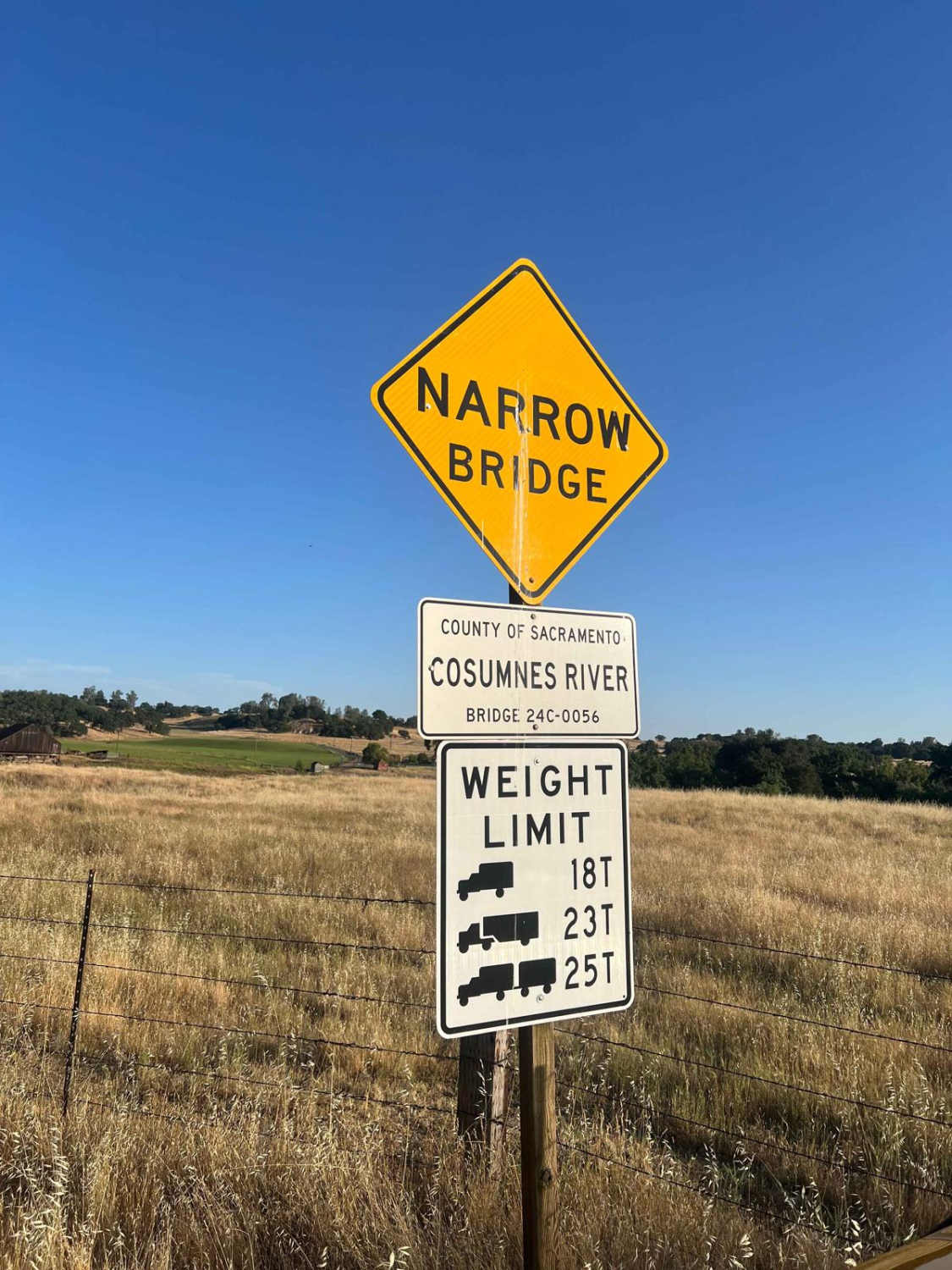
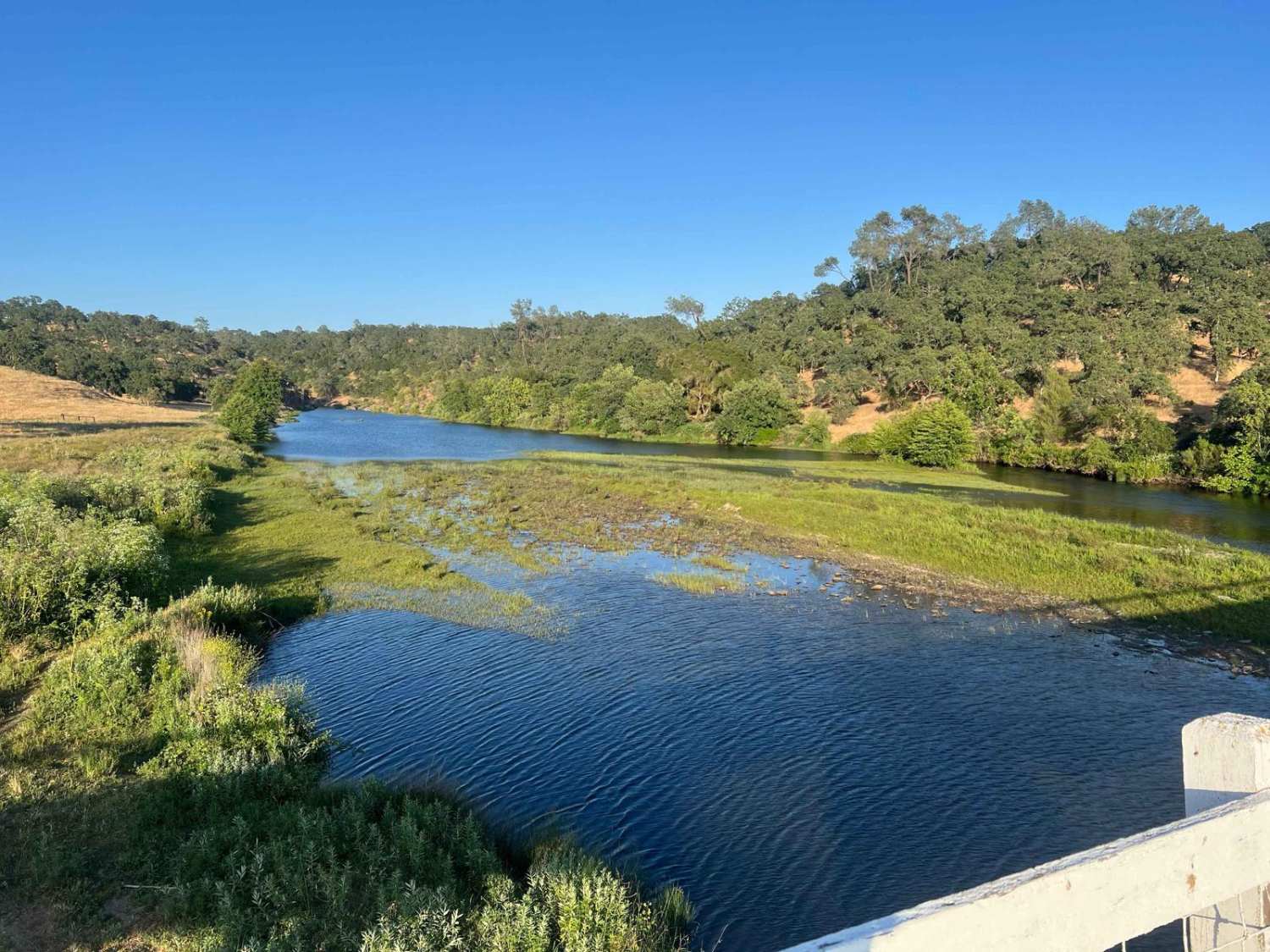
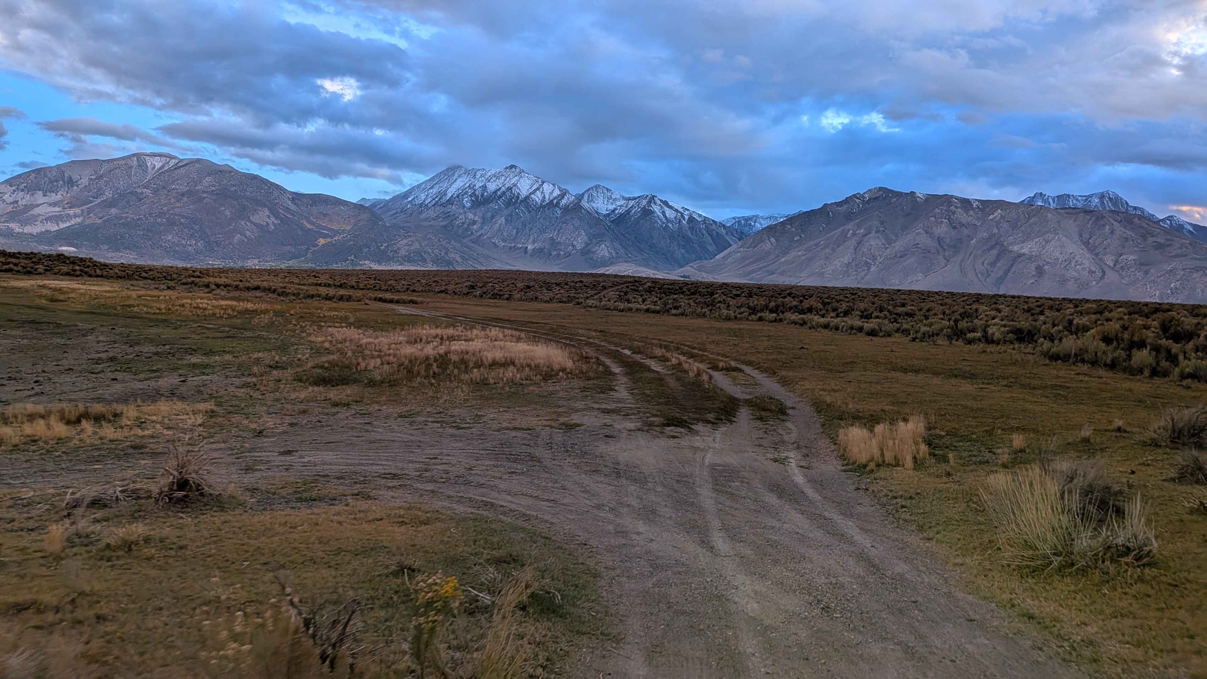
Latrobe Road is a scenic dirt road that passes through the rolling foothills outside the Sacramento Valley and provides ample views of the surrounding area. The trail passes through agricultural land, cattle grazing areas, and the 4000 acre Deer Creek Preserve, which is owned/managed by the Sacramento Valley Conservancy. Approximately halfway through the trail, there is a turnoff for Michigan Bar Road, which is also a dirt road and descends through idyllic farm country down to the Cosumnes River. There is no public access to the river at this junction, but there is a beautiful old bridge and some surrounding farm buildings, and the river view is gorgeous. The author saw a couple of hundred barn swallows flying around the bridge at sunset, in addition to numerous other types of wildlife. Neither road is difficult to traverse, but in the winter and spring, there is substantial runoff and numerous water crossings along Latrobe. Both trails, especially Latrobe, have obstacles off to the sides of the road that can be challenging and enjoyable. Frankly, there are a couple of obstacles that consist of boulders and off-camber sections that could cause a rollover if careful lines are not chosen.
Photos of Latrobe Road
Difficulty
This trail runs from quite easy (after spring runoff) to moderately difficult if the side trail obstacles are tackled.
Status Reports
Latrobe Road can be accessed by the following ride types:
- High-Clearance 4x4
- SUV
- Dirt Bike
Latrobe Road Map
Popular Trails
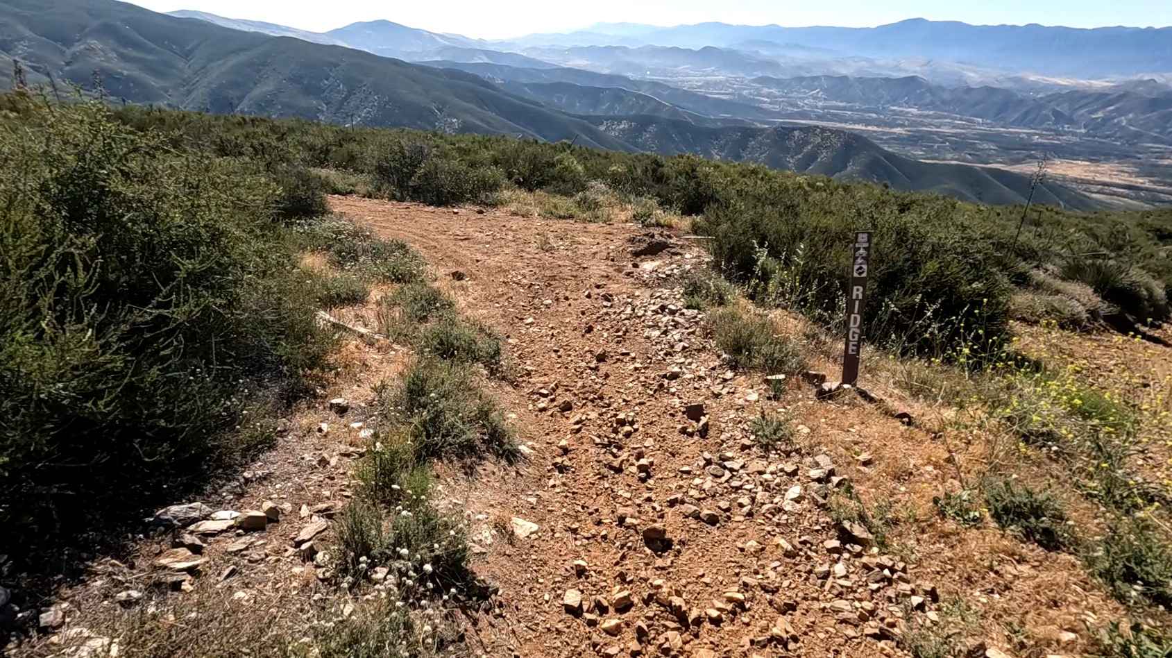
Ridge Trail
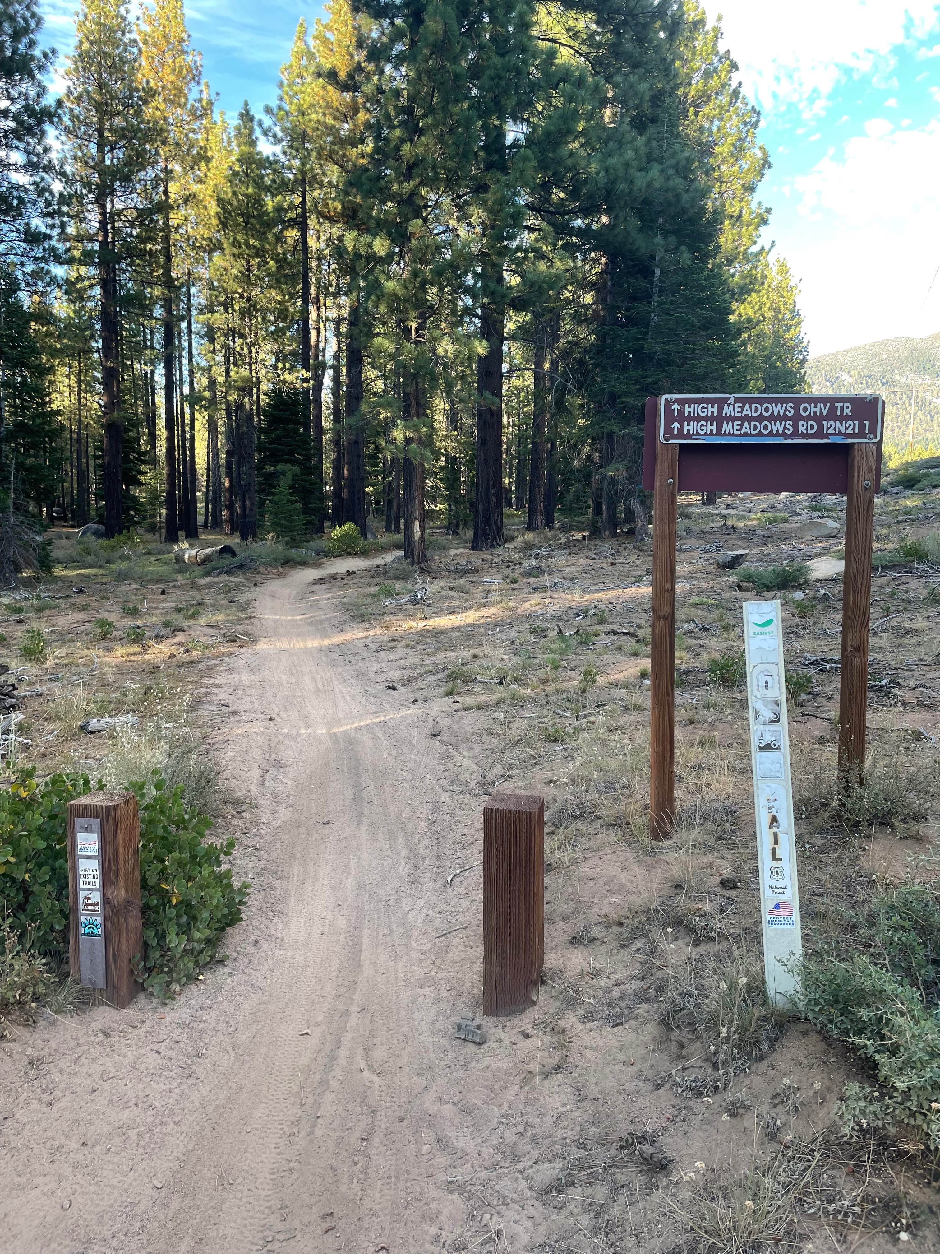
High Meadows Trail
Lake Crowley North Landing Shoreline Loop
EC 274 Yuha Desert
The onX Offroad Difference
onX Offroad combines trail photos, descriptions, difficulty ratings, width restrictions, seasonality, and more in a user-friendly interface. Available on all devices, with offline access and full compatibility with CarPlay and Android Auto. Discover what you’re missing today!