Off-Road Trails in California
Discover off-road trails in California

Learn more about Jack Ranch - FS 24S05
Jack Ranch - FS 24S05
Total Miles
2.5
Tech Rating
Easy
Best Time
Summer, Fall, Spring
Learn more about Jack Robinson - FS 16-046-08
Jack Robinson - FS 16-046-08
Total Miles
1.6
Tech Rating
Easy
Best Time
Spring, Summer, Fall
Learn more about Jack's Backbone
Jack's Backbone
Total Miles
11.4
Tech Rating
Easy
Best Time
Summer, Spring, Fall
Learn more about Jackhammer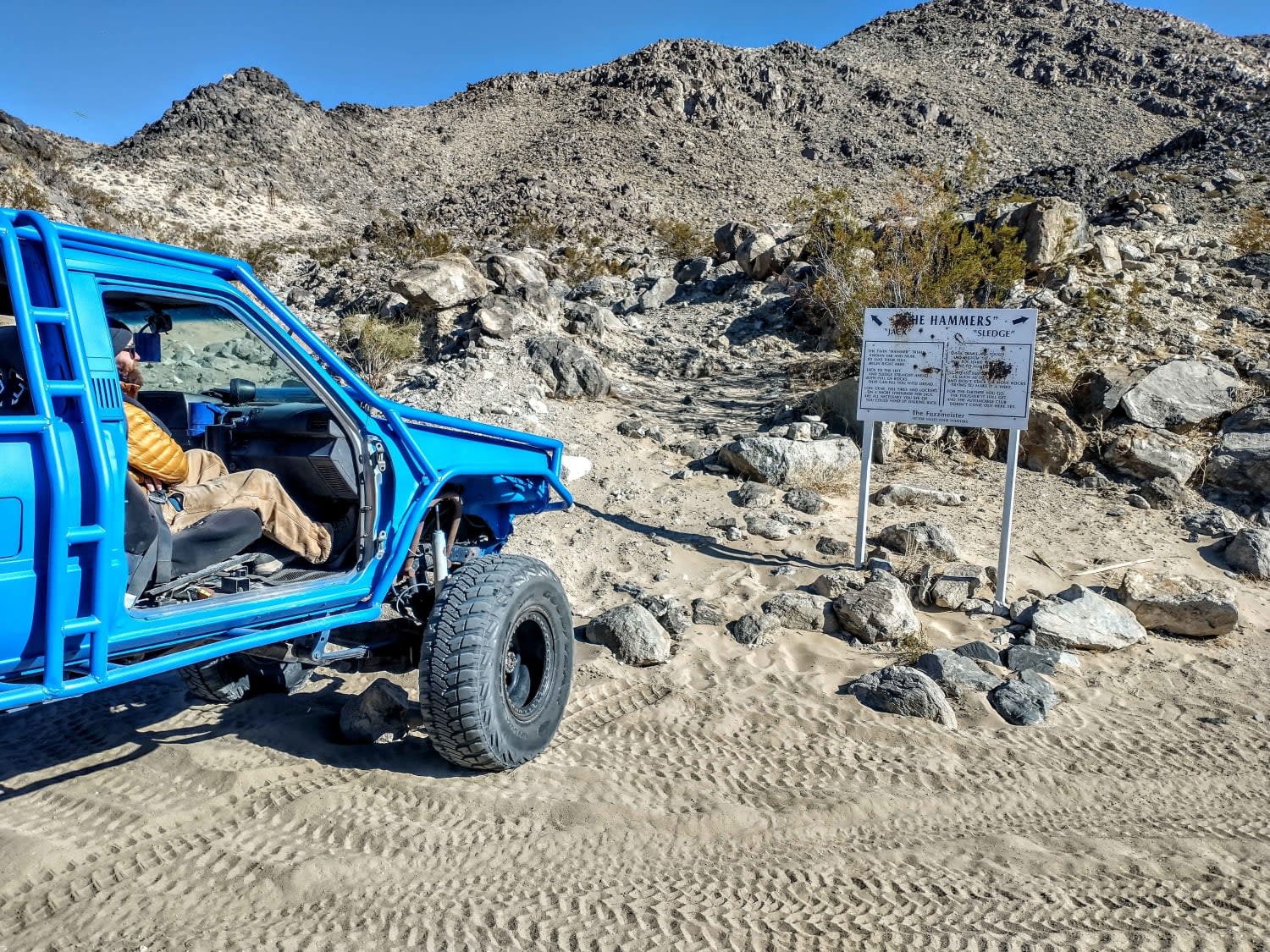
Jackhammer
Total Miles
0.8
Tech Rating
Difficult
Best Time
Spring, Summer, Fall, Winter
Learn more about Jackrabbit Run
Jackrabbit Run
Total Miles
0.3
Tech Rating
Moderate
Best Time
Spring, Summer, Fall
Learn more about Jail Canyon Road
Jail Canyon Road
Total Miles
11.0
Tech Rating
Moderate
Best Time
Spring, Fall, Winter
Learn more about Janesville Singletrack
Janesville Singletrack
Total Miles
2.3
Tech Rating
Moderate
Best Time
Spring, Summer, Fall

Learn more about Jawbone to Lake Isabella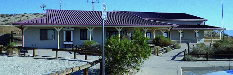
Jawbone to Lake Isabella
Total Miles
48.0
Tech Rating
Easy
Best Time
Winter, Spring, Summer, Fall
Learn more about JNF Lower Copper Mountain Line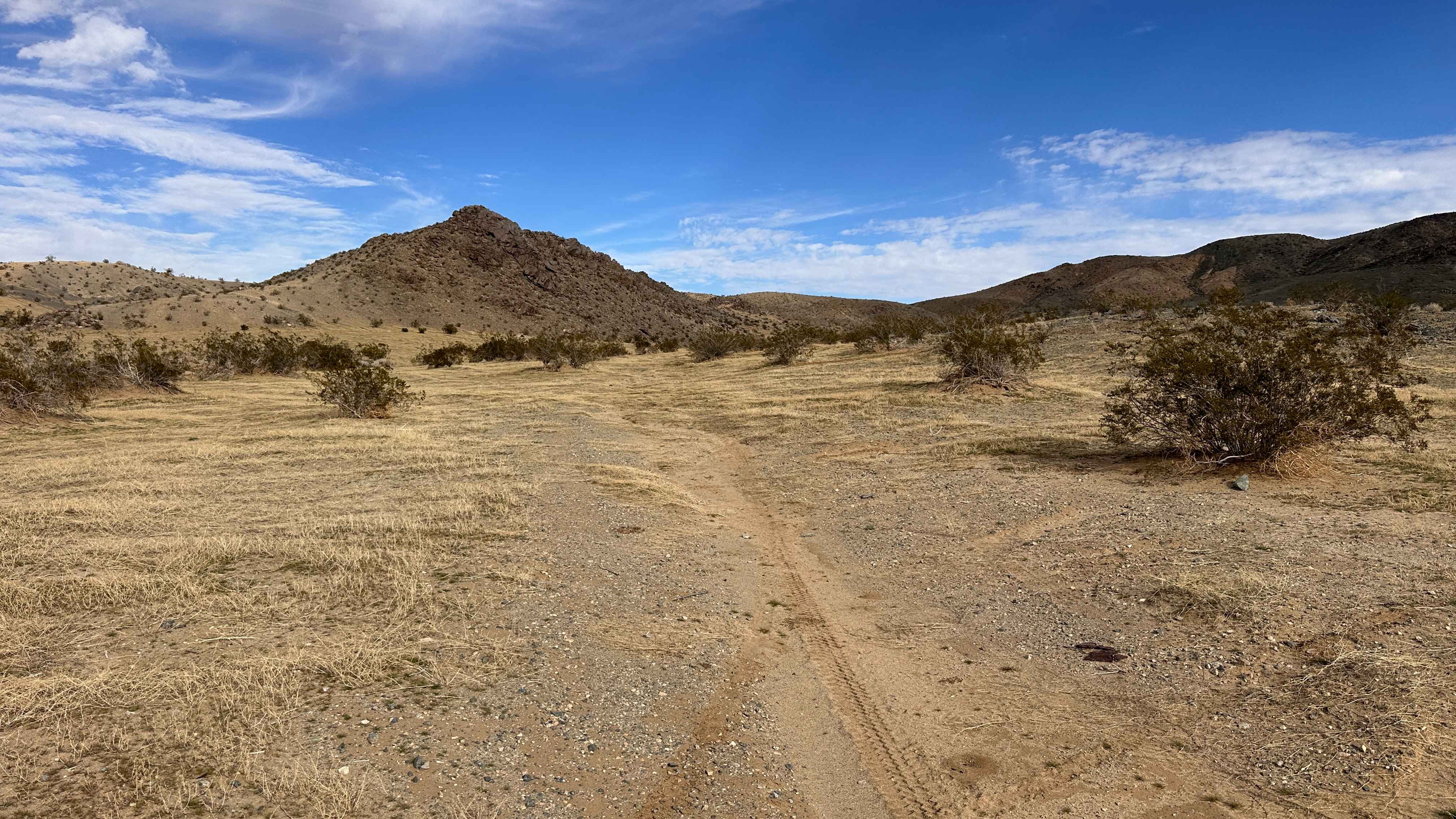
JNF Lower Copper Mountain Line
Total Miles
1.7
Tech Rating
Moderate
Best Time
Spring, Summer, Fall, Winter
Learn more about JNP Camping Area Entry
JNP Camping Area Entry
Total Miles
1.2
Tech Rating
Easy
Best Time
Spring, Summer, Fall, Winter
Learn more about Joe Perry Project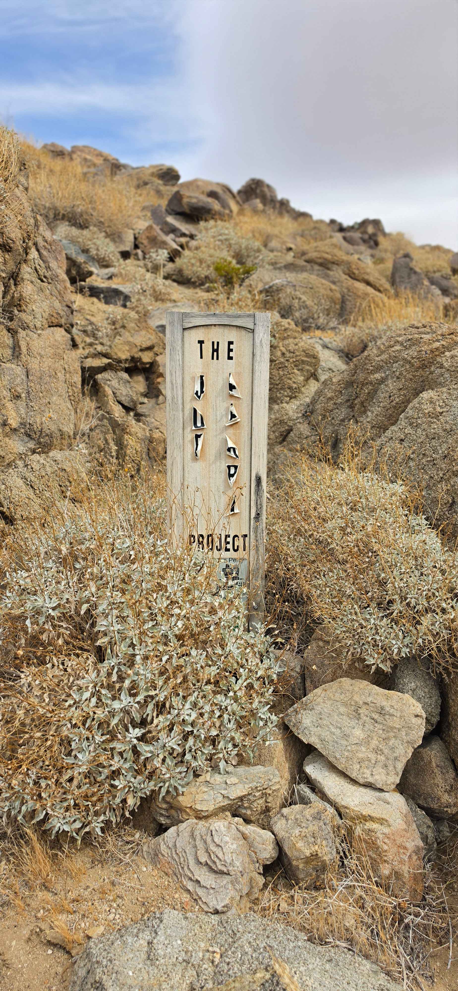
Joe Perry Project
Total Miles
0.3
Tech Rating
Moderate
Best Time
Spring, Fall
Learn more about John Bull Trail
John Bull Trail
Total Miles
6.7
Tech Rating
Difficult
Best Time
Summer, Fall
Learn more about Jojoba Canyon
Jojoba Canyon
Total Miles
2.4
Tech Rating
Moderate
Best Time
Spring, Fall, Winter
Learn more about Jojoba Wash
Jojoba Wash
Total Miles
7.9
Tech Rating
Moderate
Best Time
Spring, Fall, Winter
Learn more about Jordan Creek Road - FS 2S17
Jordan Creek Road - FS 2S17
Total Miles
4.5
Tech Rating
Easy
Best Time
Fall, Summer, Spring
ATV trails in California


UTV/side-by-side trails in California


Learn more about 3N267 Fenner Saddle (4N12)
3N267 Fenner Saddle (4N12)
Total Miles
3.8
Tech Rating
Difficult
Best Time
Spring, Summer, Fall, Winter

The onX Offroad Difference
onX Offroad combines trail photos, descriptions, difficulty ratings, width restrictions, seasonality, and more in a user-friendly interface. Available on all devices, with offline access and full compatibility with CarPlay and Android Auto. Discover what you’re missing today!