JNF Lower Copper Mountain Line
Total Miles
1.7
Technical Rating
Best Time
Spring, Summer, Fall, Winter
Trail Type
Full-Width Road
Accessible By
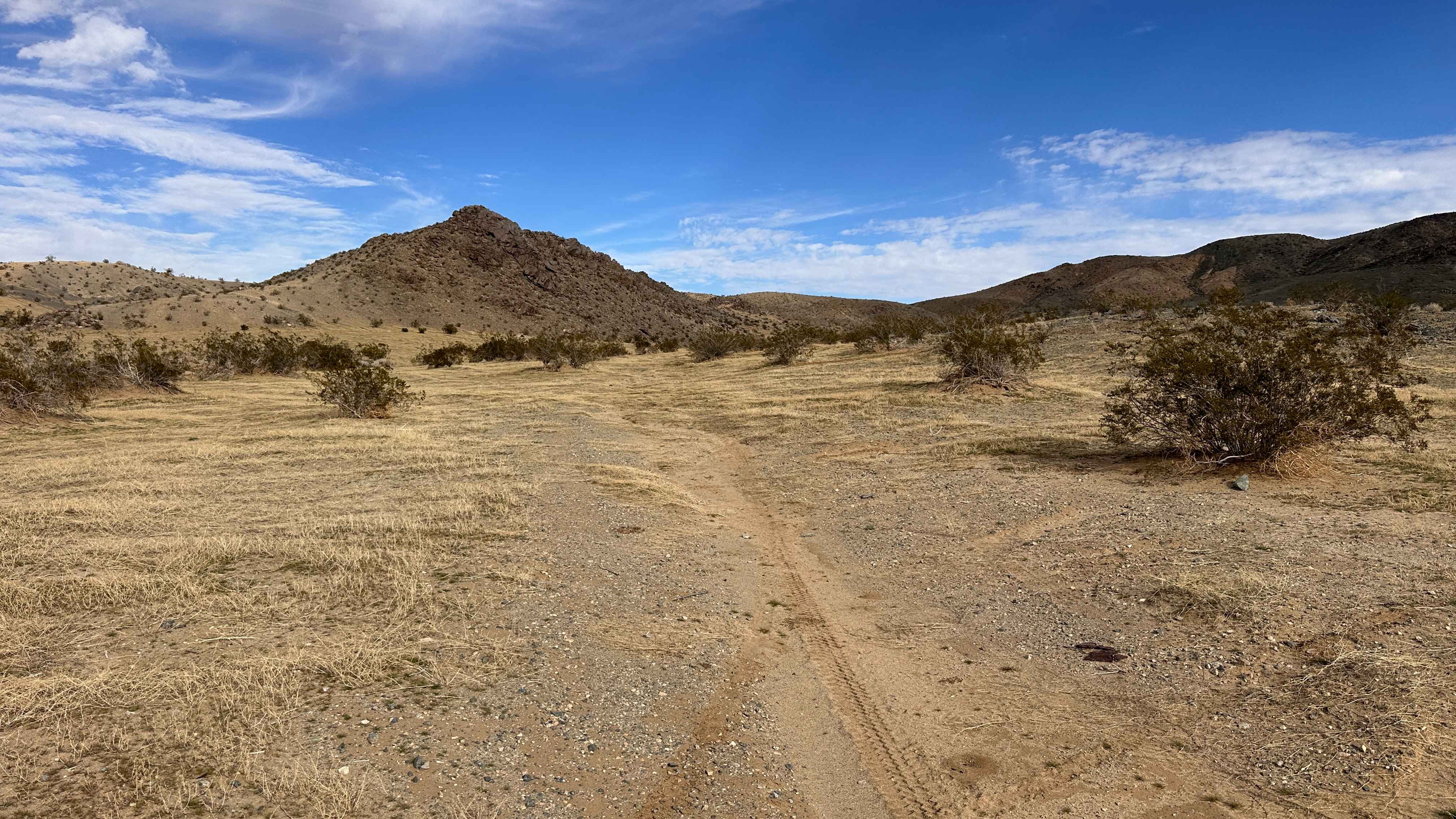
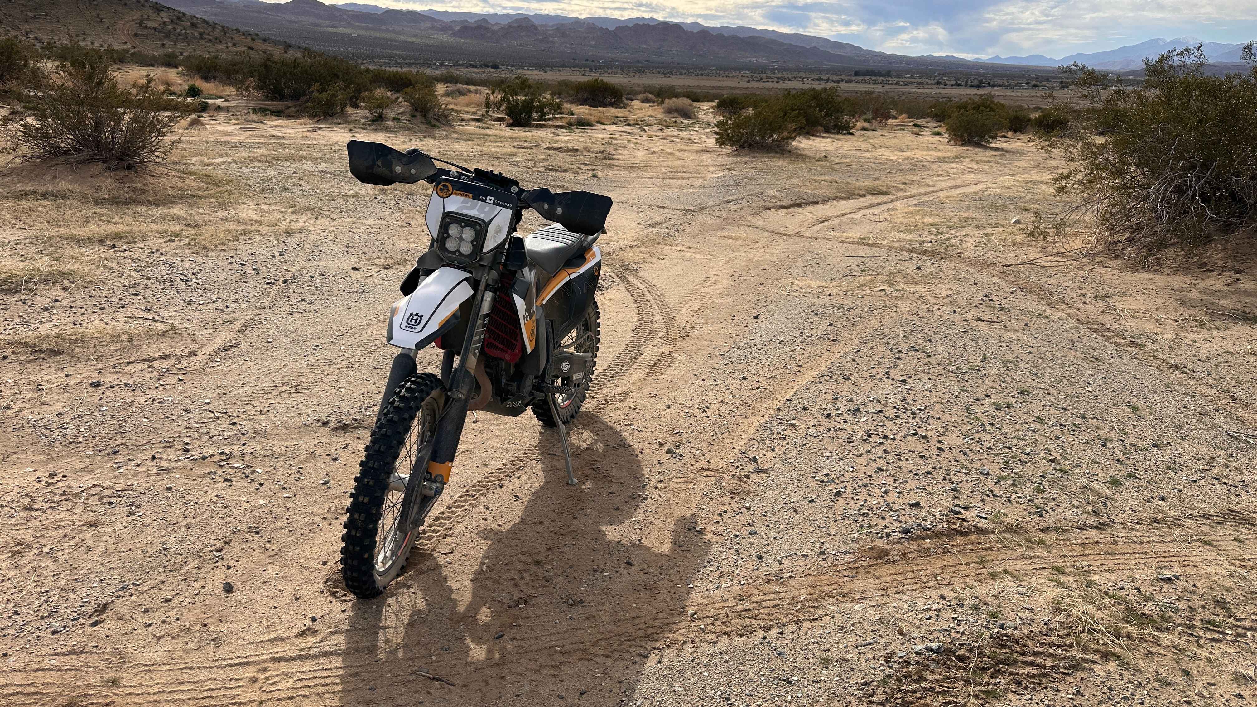
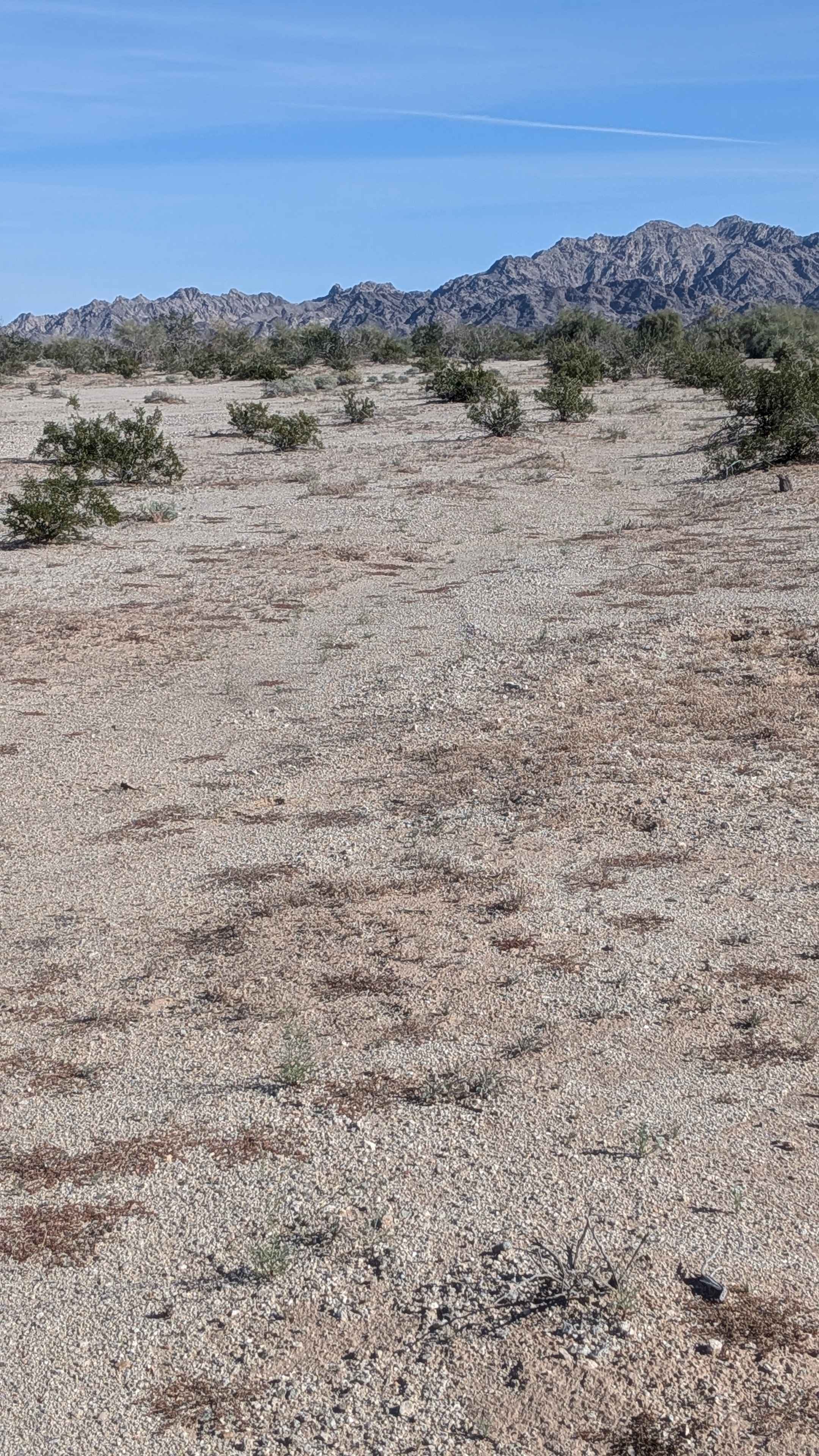
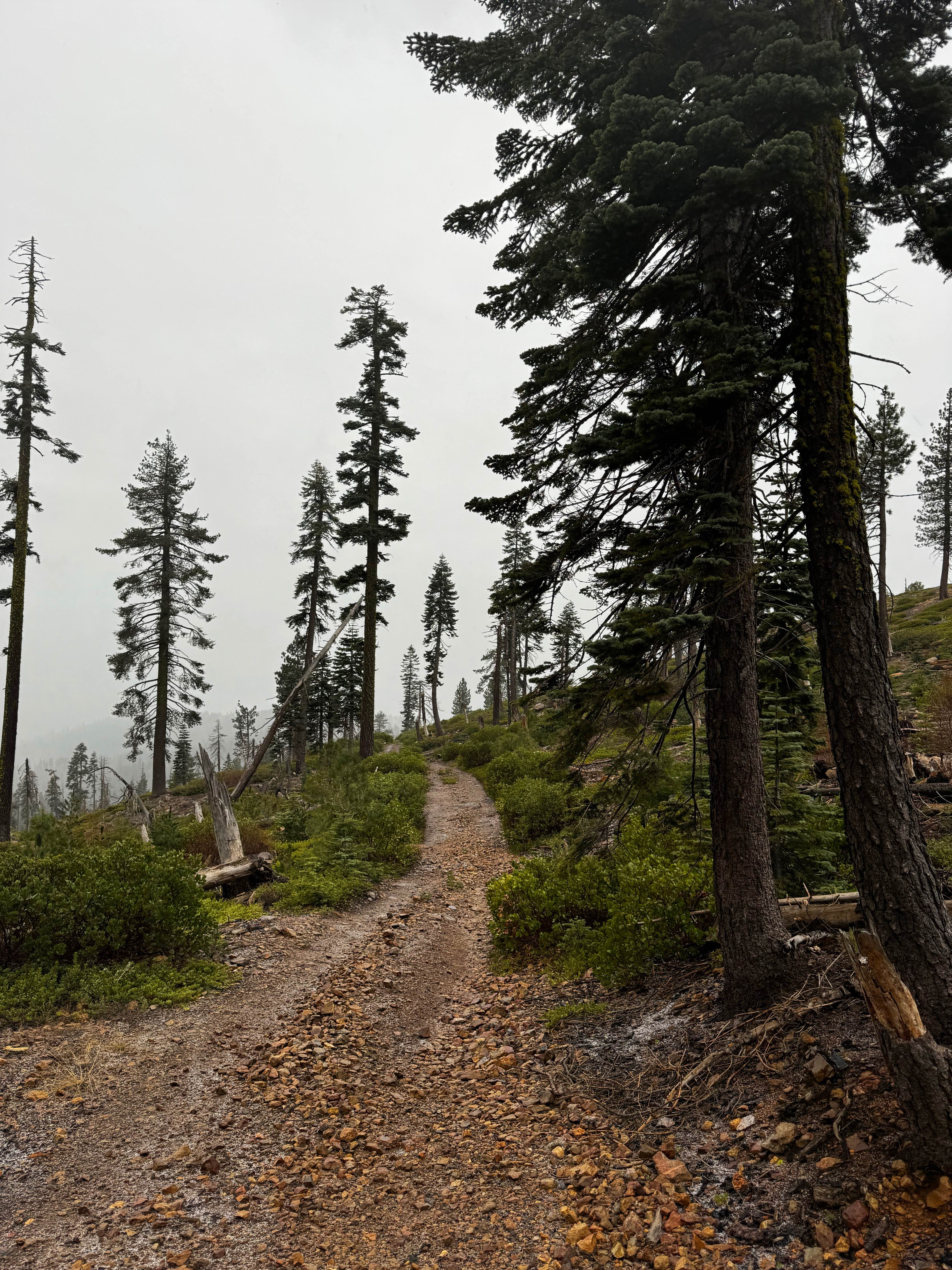
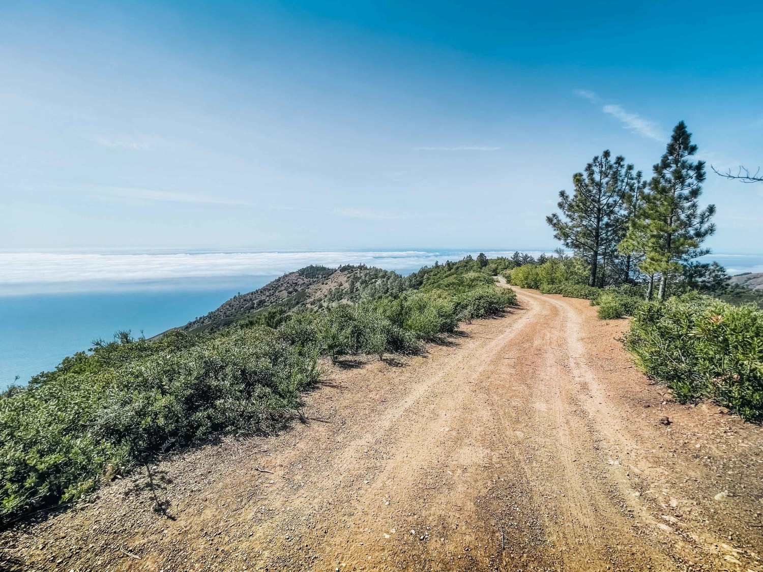
Trail Overview
This trail kicks off on the southern section of the designated BLM area and is a great way to work your way toward the central part of the zone. You'll ride a mix of dirt roads, sandy stretches, and a few small elevation climbs that keep things interesting without getting too technical. It flows well and makes for an easy connector to other routes nearby. Sandy sections can sneak up on you, so momentum helps, especially on bikes. Airing down improves traction, and OnX comes in handy for finding side trails. Bring water, respect posted areas, and enjoy the wide open desert riding.
Photos of JNF Lower Copper Mountain Line
Difficulty
Watch out for the occasional washed out trail base. You'll likely run into some slightly rutted areas you might need to avoid if you're on 4 wheels.
Status Reports
JNF Lower Copper Mountain Line can be accessed by the following ride types:
- High-Clearance 4x4
- SUV
- SxS (60")
- ATV (50")
- Dirt Bike
JNF Lower Copper Mountain Line Map
Popular Trails
Crystal Peak Mine Loop
The onX Offroad Difference
onX Offroad combines trail photos, descriptions, difficulty ratings, width restrictions, seasonality, and more in a user-friendly interface. Available on all devices, with offline access and full compatibility with CarPlay and Android Auto. Discover what you’re missing today!