Off-Road Trails in California
Discover off-road trails in California
Learn more about Idle Issues 
Idle Issues
Total Miles
0.1
Tech Rating
Extreme
Best Time
Spring, Summer, Fall, Winter
Learn more about Idyllwild Mountain Road
Idyllwild Mountain Road
Total Miles
7.7
Tech Rating
Easy
Best Time
Spring, Summer, Fall, Winter

Learn more about Imperial Rollers
Imperial Rollers
Total Miles
2.0
Tech Rating
Moderate
Best Time
Spring, Fall
Learn more about IN05 to Roberts Station
IN05 to Roberts Station
Total Miles
1.2
Tech Rating
Easy
Best Time
Fall, Summer, Spring
Learn more about Incense Cedar Trail
Incense Cedar Trail
Total Miles
1.8
Tech Rating
Easy
Best Time
Fall, Summer
Learn more about Indian Canyon - FS 4S06
Indian Canyon - FS 4S06
Total Miles
5.9
Tech Rating
Easy
Best Time
Spring, Fall
Learn more about Indian Creek
Indian Creek
Total Miles
1.0
Tech Rating
Easy
Best Time
Spring, Summer, Fall, Winter
Learn more about Indian Creek Connector
Indian Creek Connector
Total Miles
0.5
Tech Rating
Easy
Best Time
Spring, Summer, Fall, Winter
Learn more about Indian Creek Road
Indian Creek Road
Total Miles
0.9
Tech Rating
Easy
Best Time
Spring, Summer, Fall
Learn more about Indian Falls Ridge
Indian Falls Ridge
Total Miles
4.1
Tech Rating
Moderate
Best Time
Spring, Fall
Learn more about Indian Falls Ridge 2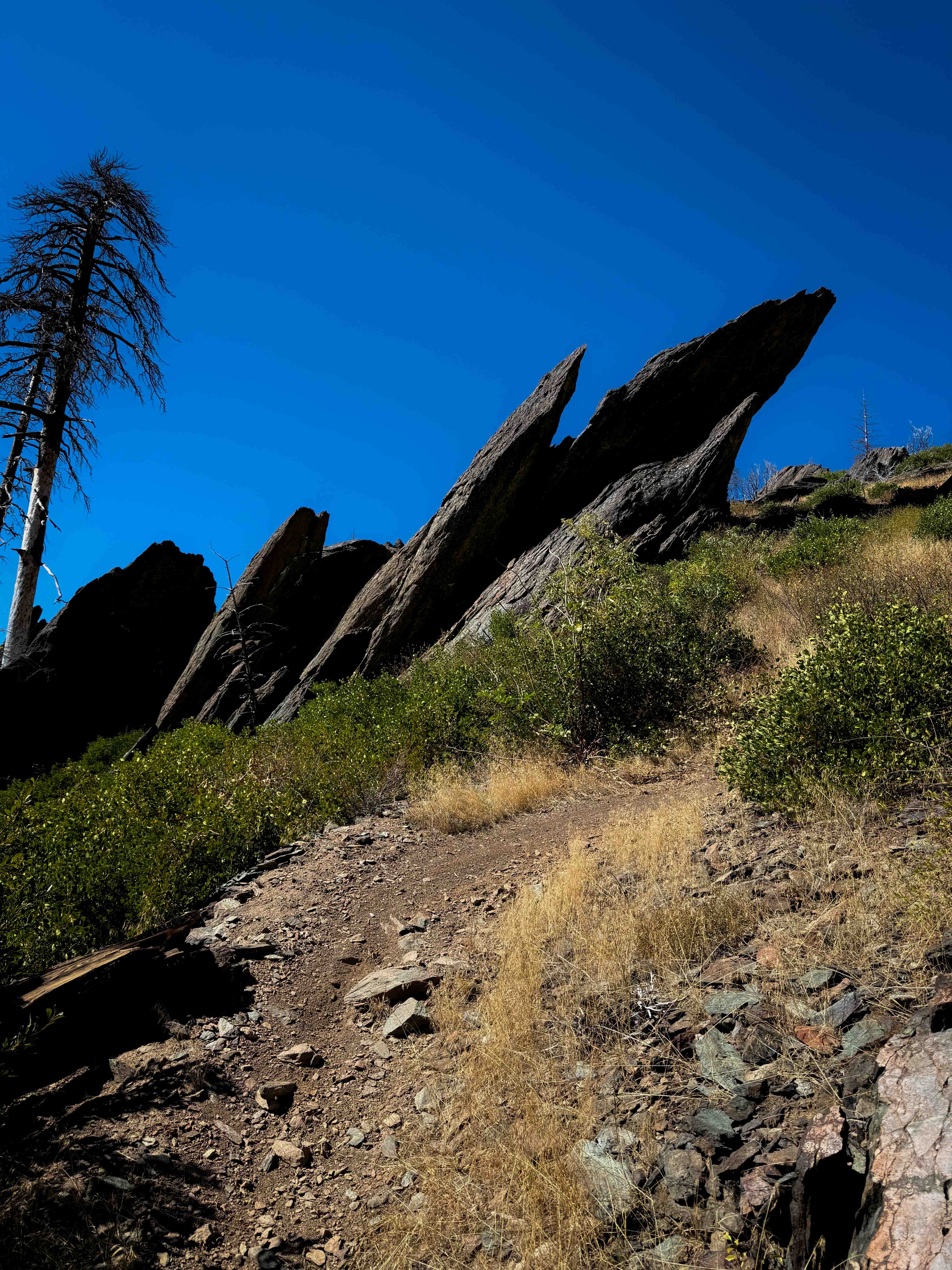
Indian Falls Ridge 2
Total Miles
2.7
Tech Rating
Moderate
Best Time
Spring, Fall
Learn more about Indian Gorge Road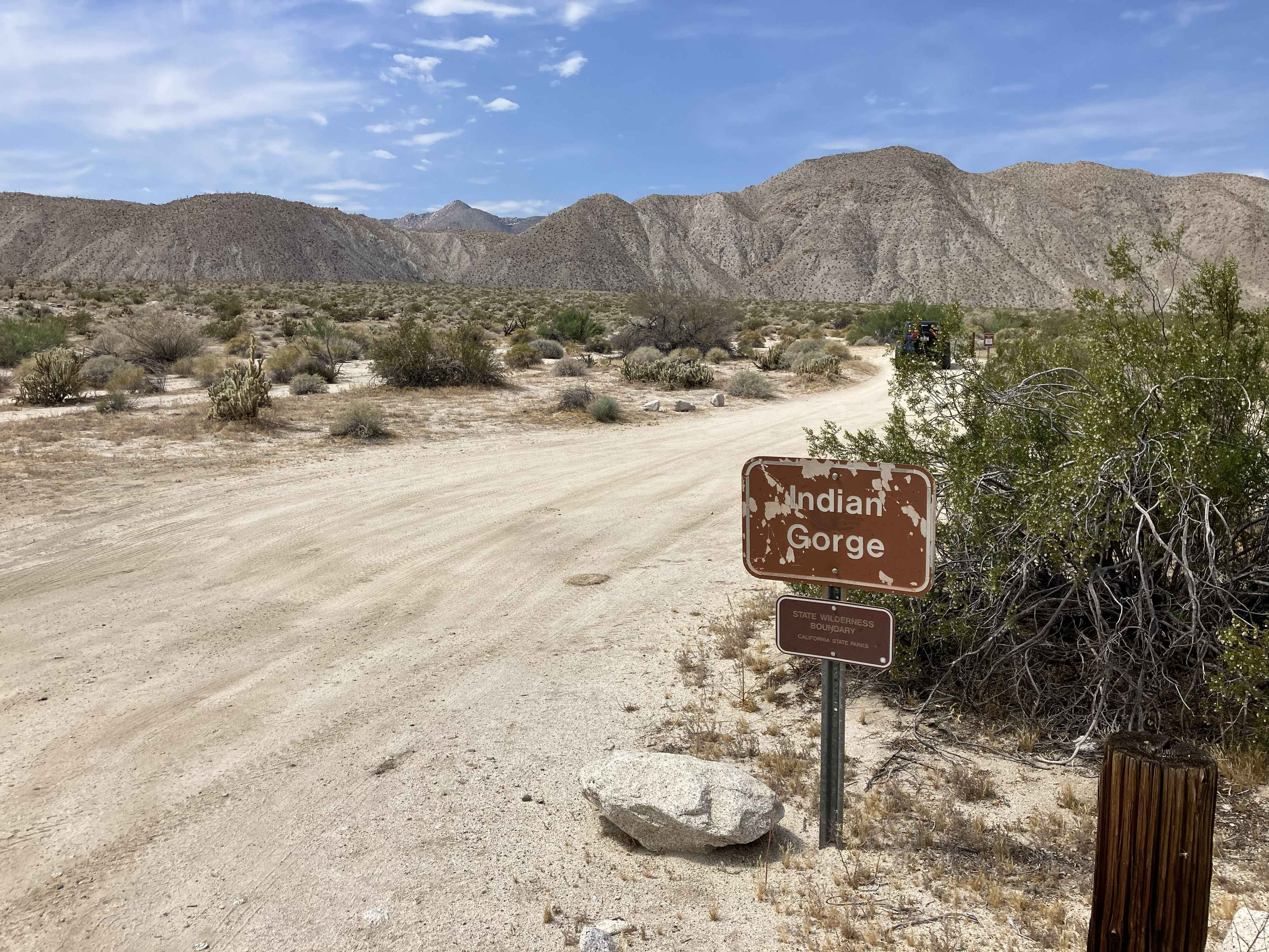
Indian Gorge Road
Total Miles
5.2
Tech Rating
Easy
Best Time
Winter, Spring
Learn more about Indian Hill South
Indian Hill South
Total Miles
1.2
Tech Rating
Easy
Best Time
Spring, Summer, Fall, Winter
Learn more about Indian Mountain Trail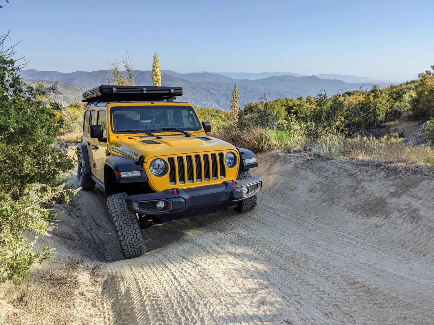
Indian Mountain Trail
Total Miles
4.2
Tech Rating
Difficult
Best Time
Spring, Summer, Fall
Learn more about Indian Pass Vista Point
Indian Pass Vista Point
Total Miles
9.9
Tech Rating
Moderate
Best Time
Spring, Fall, Winter
Learn more about Indian Valley South Fork
Indian Valley South Fork
Total Miles
2.9
Tech Rating
Easy
Best Time
Spring, Winter
ATV trails in California


UTV/side-by-side trails in California


Learn more about 3N267 Fenner Saddle (4N12)
3N267 Fenner Saddle (4N12)
Total Miles
3.8
Tech Rating
Difficult
Best Time
Spring, Summer, Fall, Winter

The onX Offroad Difference
onX Offroad combines trail photos, descriptions, difficulty ratings, width restrictions, seasonality, and more in a user-friendly interface. Available on all devices, with offline access and full compatibility with CarPlay and Android Auto. Discover what you’re missing today!