Off-Road Trails in California
Discover off-road trails in California
Learn more about Hell To Pay
Hell To Pay
Total Miles
2.6
Tech Rating
Extreme
Best Time
Winter, Fall, Spring
Learn more about Hellhole 4WD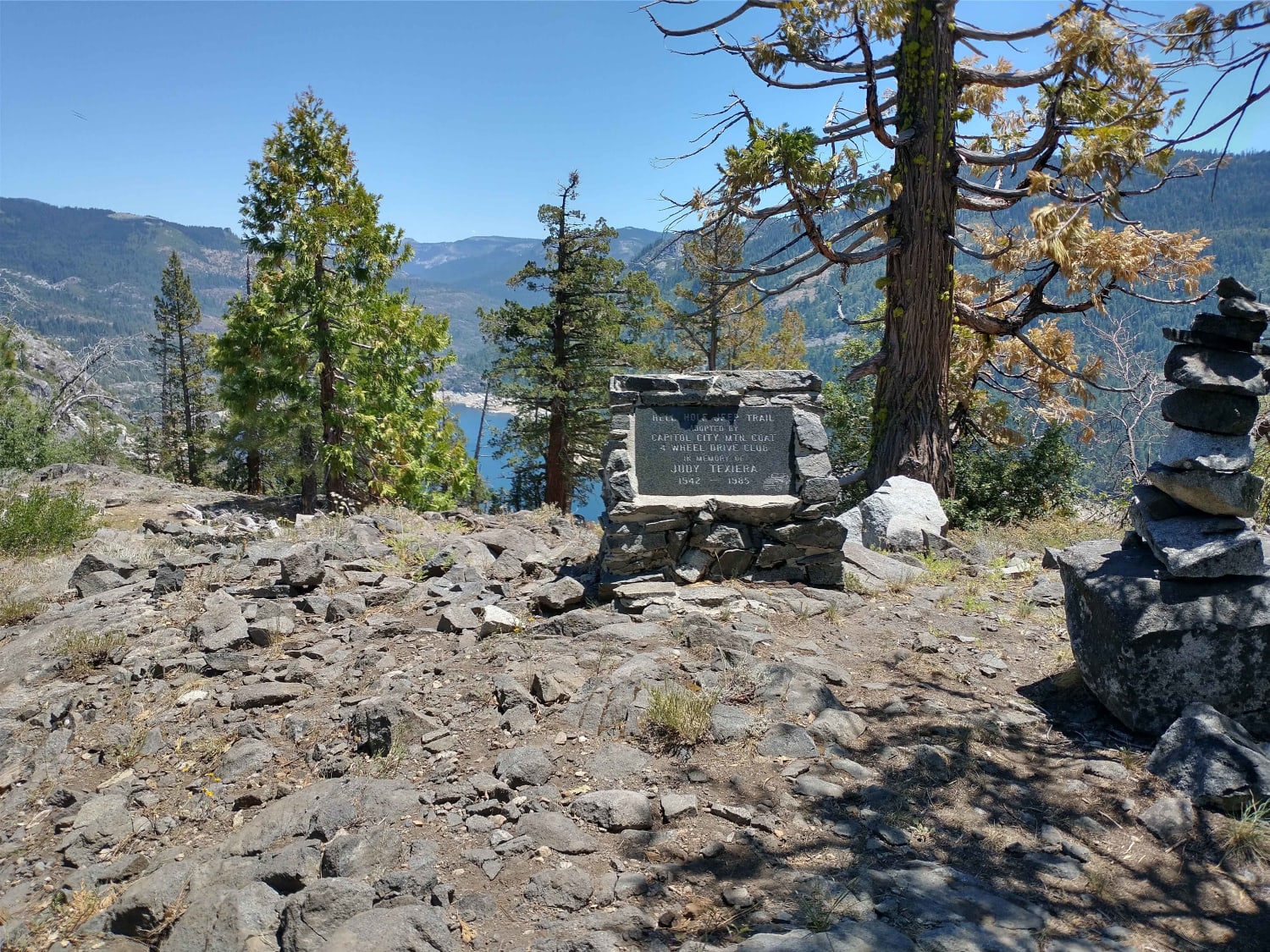
Hellhole 4WD
Total Miles
3.8
Tech Rating
Difficult
Best Time
Spring, Summer, Fall
Learn more about Hepburn Mine - 3N32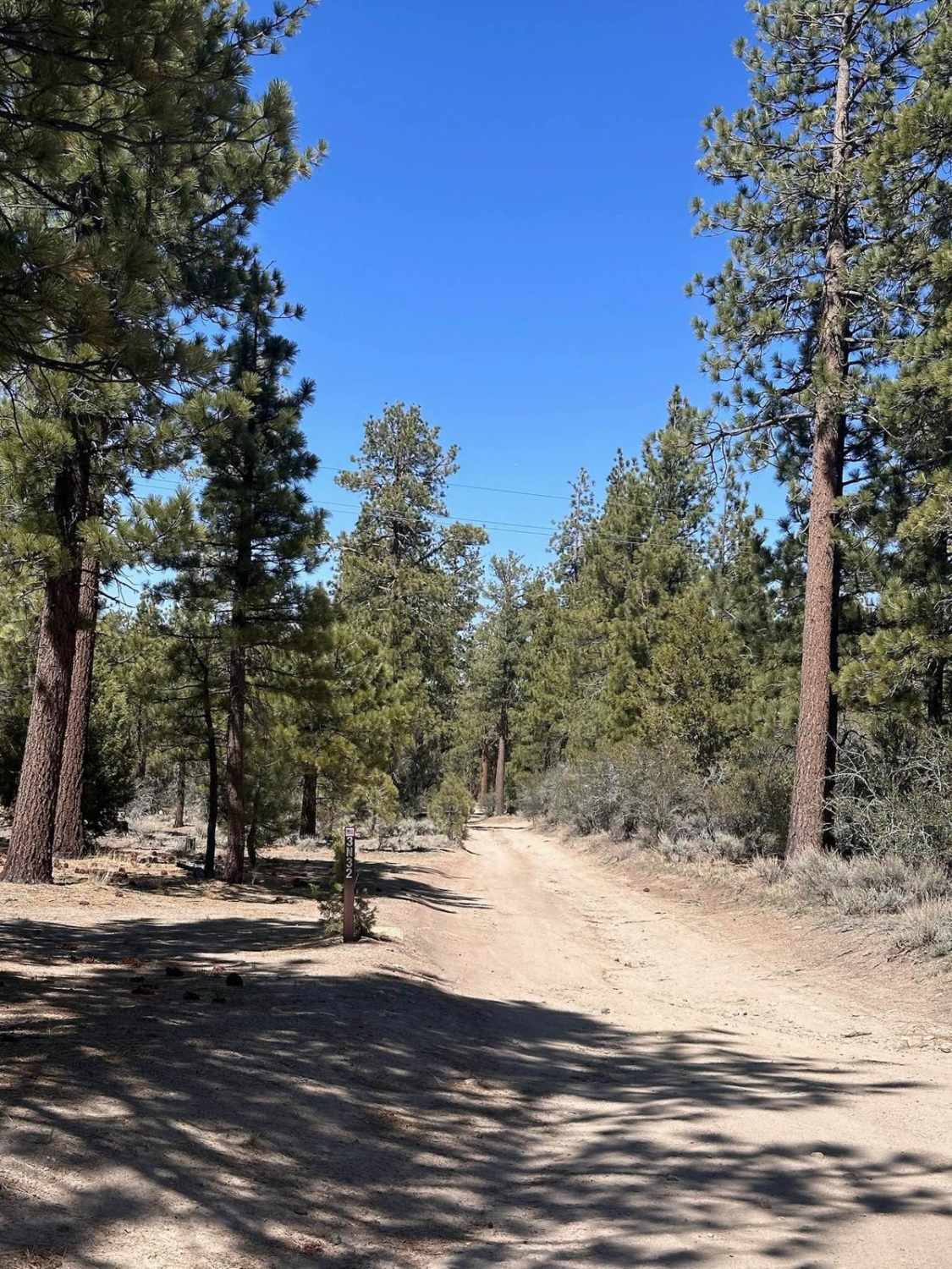
Hepburn Mine - 3N32
Total Miles
1.4
Tech Rating
Easy
Best Time
Spring, Summer, Fall
Learn more about Her Problem
Her Problem
Total Miles
0.3
Tech Rating
Moderate
Best Time
Spring, Fall, Winter

Learn more about Hi Mountain Road
Hi Mountain Road
Total Miles
10.2
Tech Rating
Moderate
Best Time
Fall, Spring
Learn more about Hidden Canyon
Hidden Canyon
Total Miles
3.7
Tech Rating
Easy
Best Time
Winter, Fall, Spring
Learn more about Hidden Dinosaurs 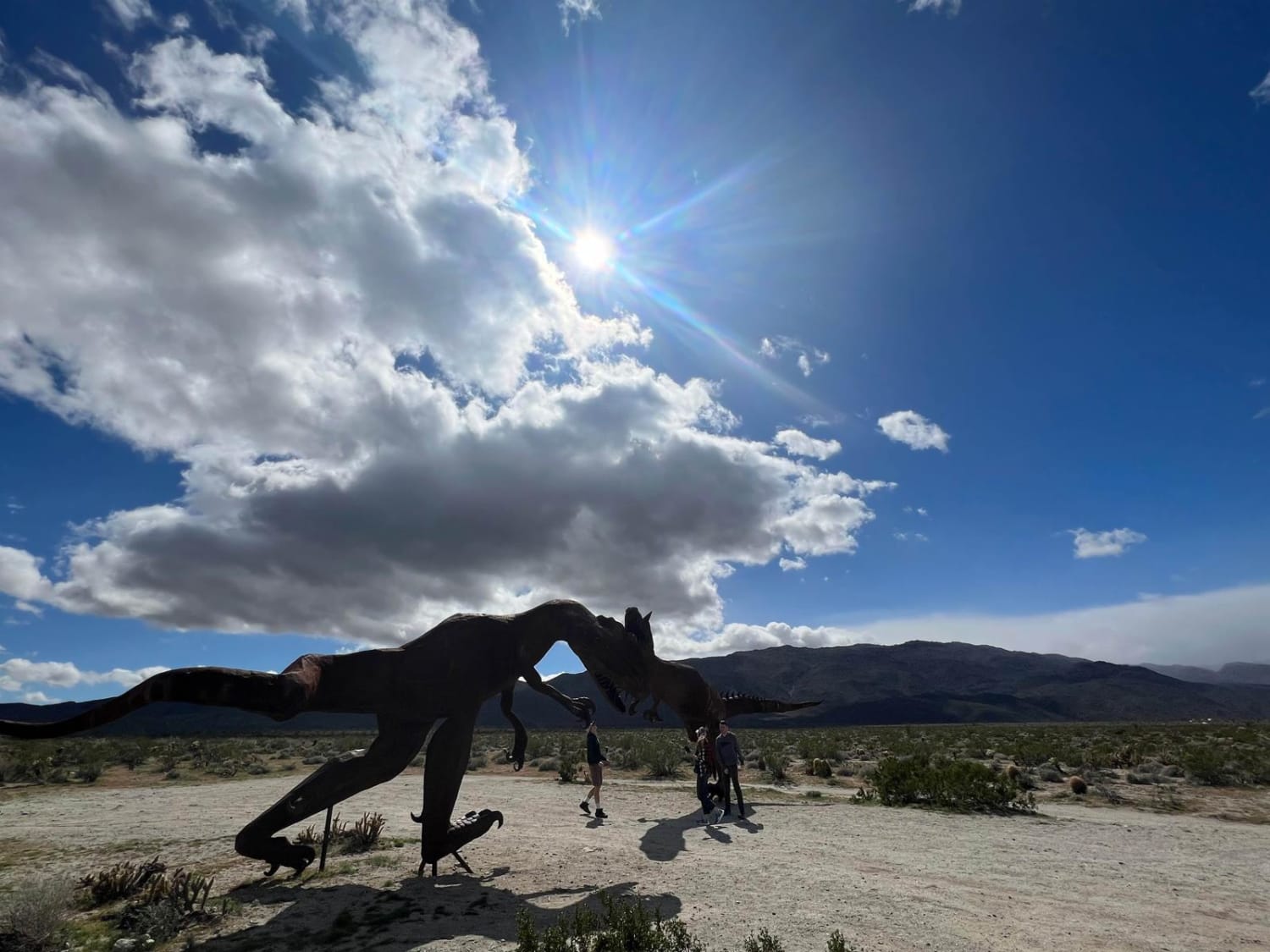
Hidden Dinosaurs
Total Miles
0.7
Tech Rating
Easy
Best Time
Summer, Fall, Spring
Learn more about High Desert Hook
High Desert Hook
Total Miles
0.3
Tech Rating
Moderate
Best Time
Spring, Summer, Fall, Winter
Learn more about High Meadows Trail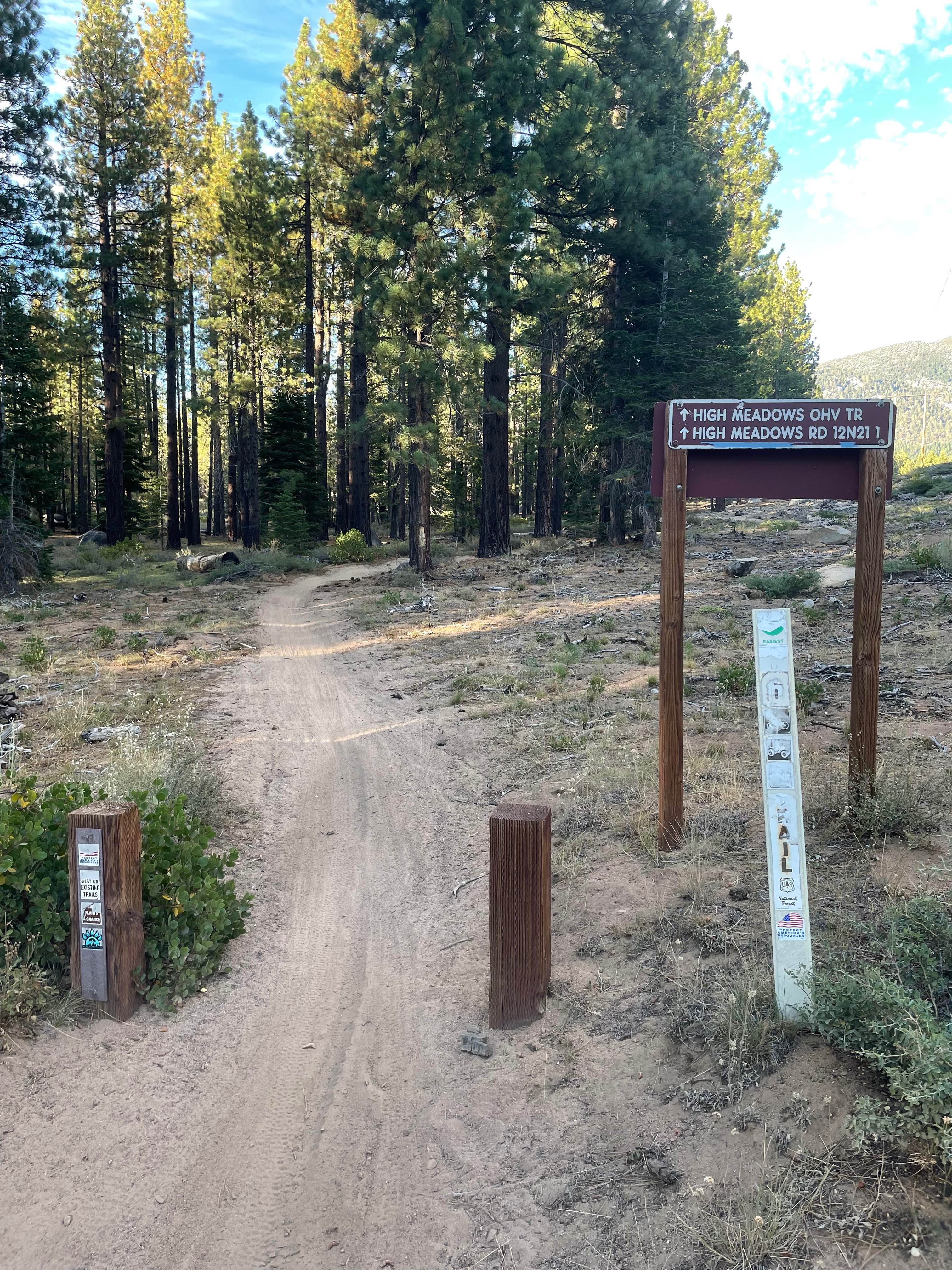
High Meadows Trail
Total Miles
0.8
Tech Rating
Easy
Best Time
Summer, Fall, Spring
Learn more about High Peak Road - FS 31050
High Peak Road - FS 31050
Total Miles
3.3
Tech Rating
Easy
Best Time
Fall, Summer
Learn more about High Voltage Powerline Trail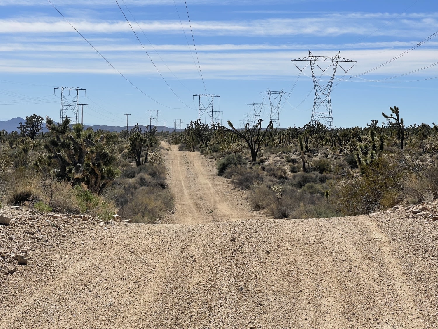
High Voltage Powerline Trail
Total Miles
8.4
Tech Rating
Easy
Best Time
Winter, Fall, Spring
Learn more about Hightower Trail
Hightower Trail
Total Miles
11.7
Tech Rating
Easy
Best Time
Spring, Fall, Winter
Learn more about Highway 120 Scenic Cut-off Route
Highway 120 Scenic Cut-off Route
Total Miles
15.9
Tech Rating
Easy
Best Time
Spring, Fall, Summer
Learn more about Highway 19
Highway 19
Total Miles
0.2
Tech Rating
Difficult
Best Time
Spring, Fall, Winter
Learn more about Highway 20
Highway 20
Total Miles
0.6
Tech Rating
Difficult
Best Time
Fall, Winter, Spring
Learn more about Highway 86 Access
Highway 86 Access
Total Miles
4.4
Tech Rating
Easy
Best Time
Spring, Fall, Winter
ATV trails in California


UTV/side-by-side trails in California


Learn more about 3N267 Fenner Saddle (4N12)
3N267 Fenner Saddle (4N12)
Total Miles
3.8
Tech Rating
Difficult
Best Time
Spring, Summer, Fall, Winter

The onX Offroad Difference
onX Offroad combines trail photos, descriptions, difficulty ratings, width restrictions, seasonality, and more in a user-friendly interface. Available on all devices, with offline access and full compatibility with CarPlay and Android Auto. Discover what you’re missing today!