High Lakes
Total Miles
17.7
Technical Rating
Best Time
Summer
Trail Type
Full-Width Road
Accessible By
Trail Overview
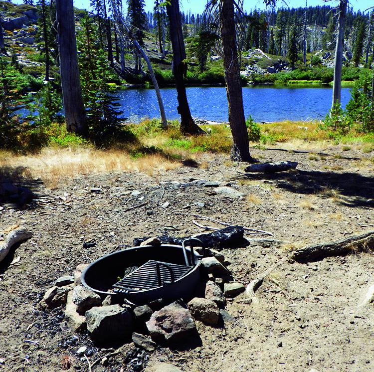
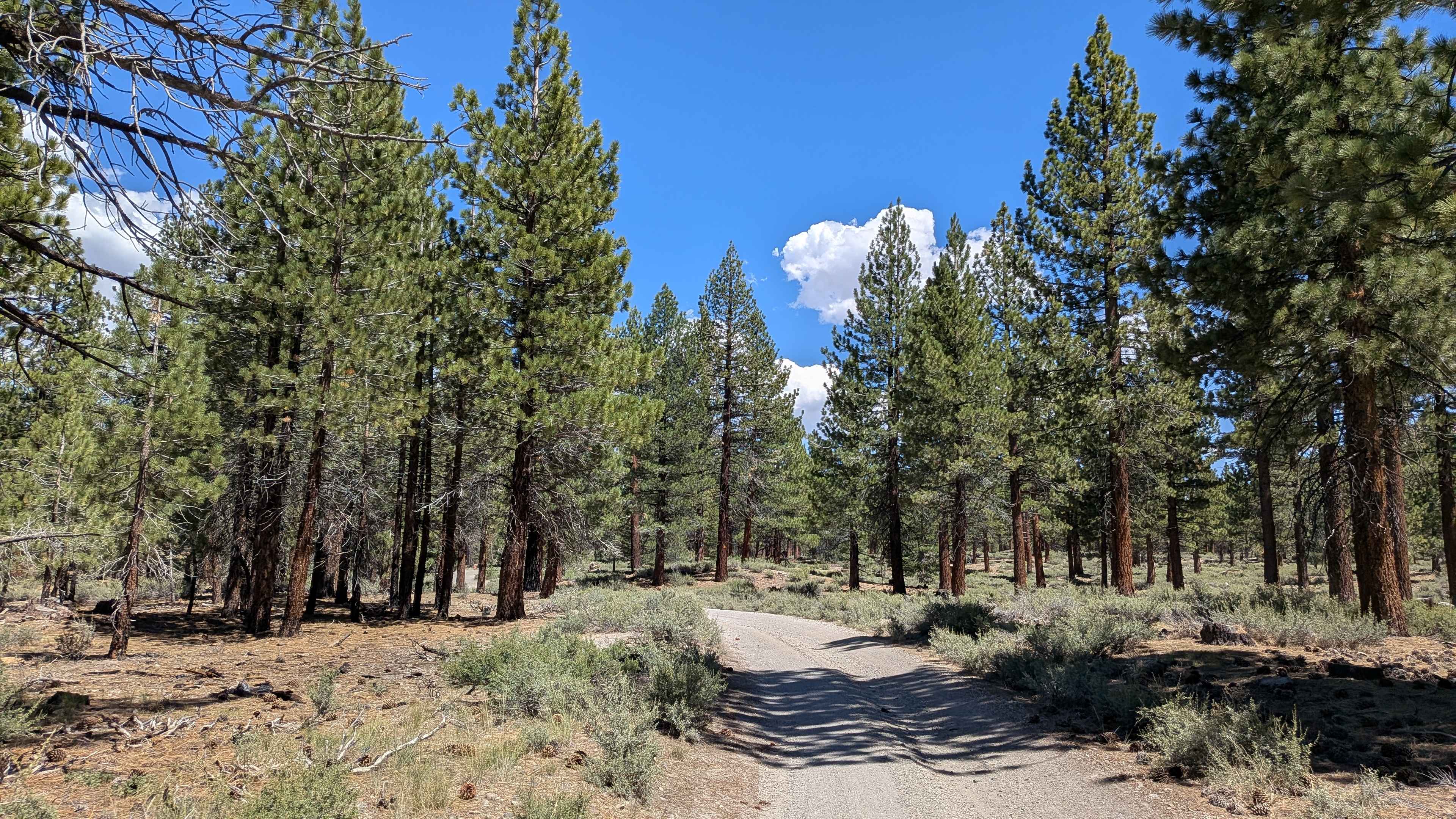
Camp, fish and relax in remote seclusion after a day of challenging rock crawling. Despite damage from recent fires, this is a great place to spend a weekend exploring a gorgeous high plateau with numerous glaciercarved lakes. The trail is part of the High Lakes OHV Area, which is open to green-sticker vehicles. Staging begins at Waypoint 04. Please stay on designated routes and pack out your trash.
Photos of High Lakes
Difficulty
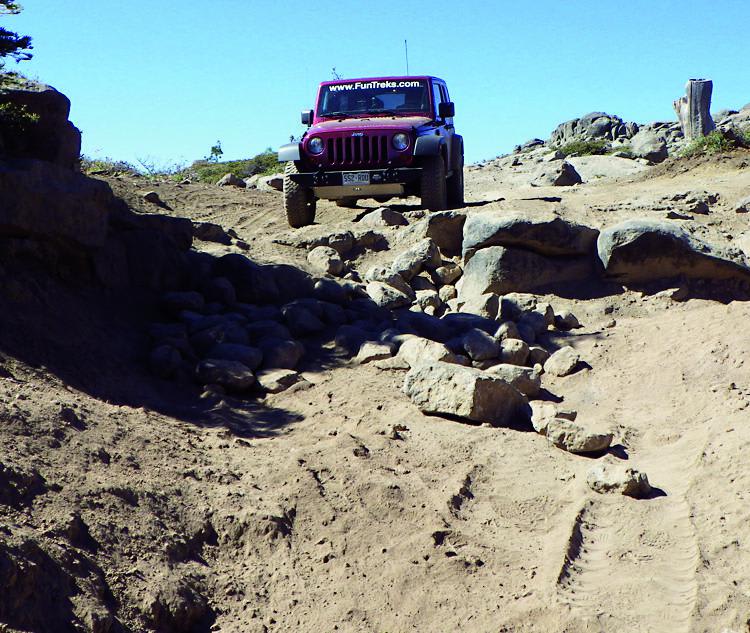
Difficult: Although much of this trail is moderate, one difficult spot before Waypoint 05 will stop most stock vehicles. We managed to get through with our stock 4-door Rubicon, but just barely. You'll find tight spots between trees with large tree roots. F.S. 608 to Morris Lake is extreme rock crawling.
History
This area, known as the Kimshew Mining District, has a long history starting with prospecting in the mid 1800s and continuing as late as 1980 with modern hydraulic mining. Source: Friends of the High Lakes, www.friendsofhighlakes.com.
Status Reports
High Lakes can be accessed by the following ride types:
- High-Clearance 4x4
- SUV
- SxS (60")
- ATV (50")
- Dirt Bike
High Lakes Map
Popular Trails

8s085 - Snow Bend / S.C.E Powerline Road
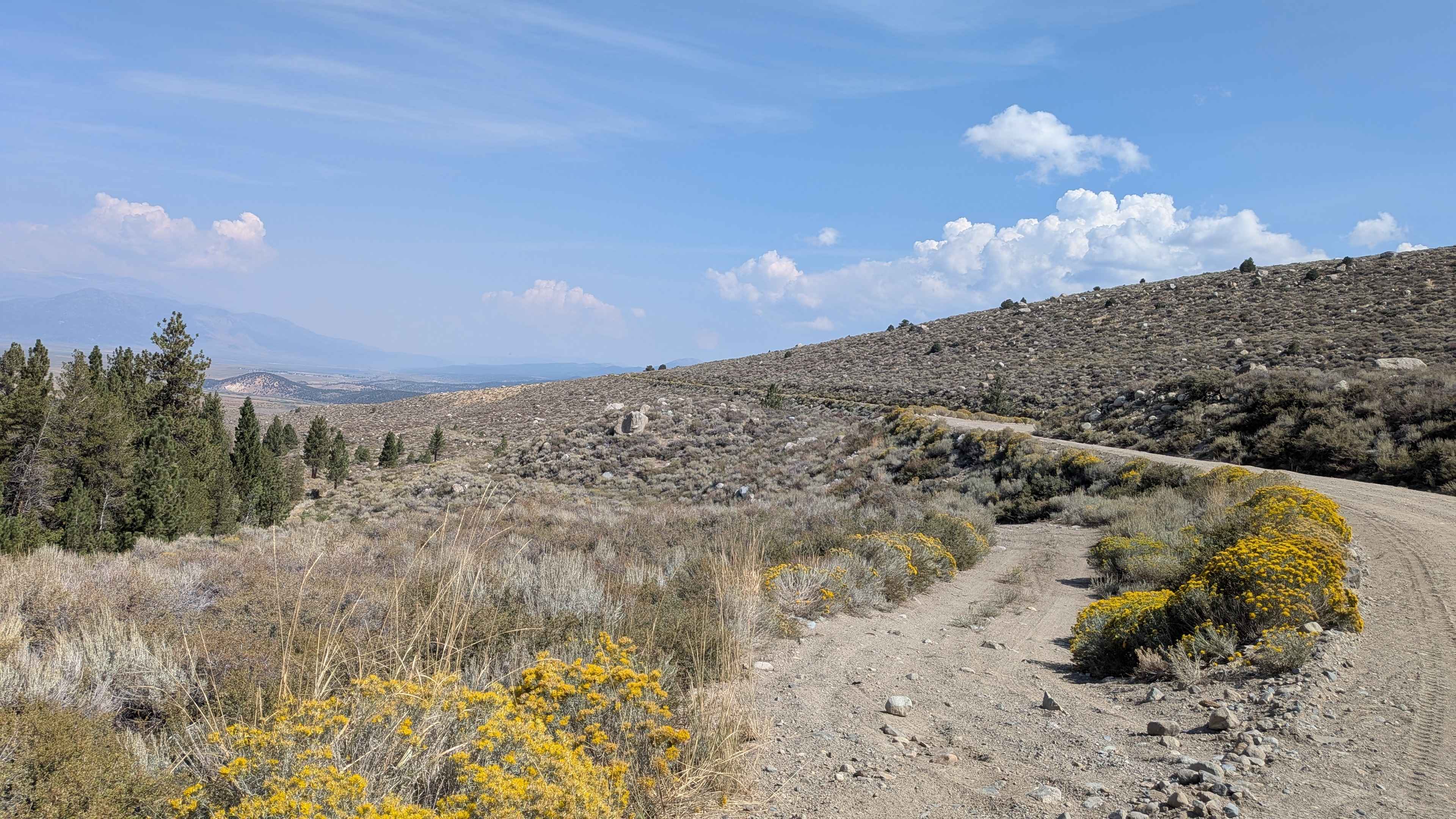
Old Green Creek Road
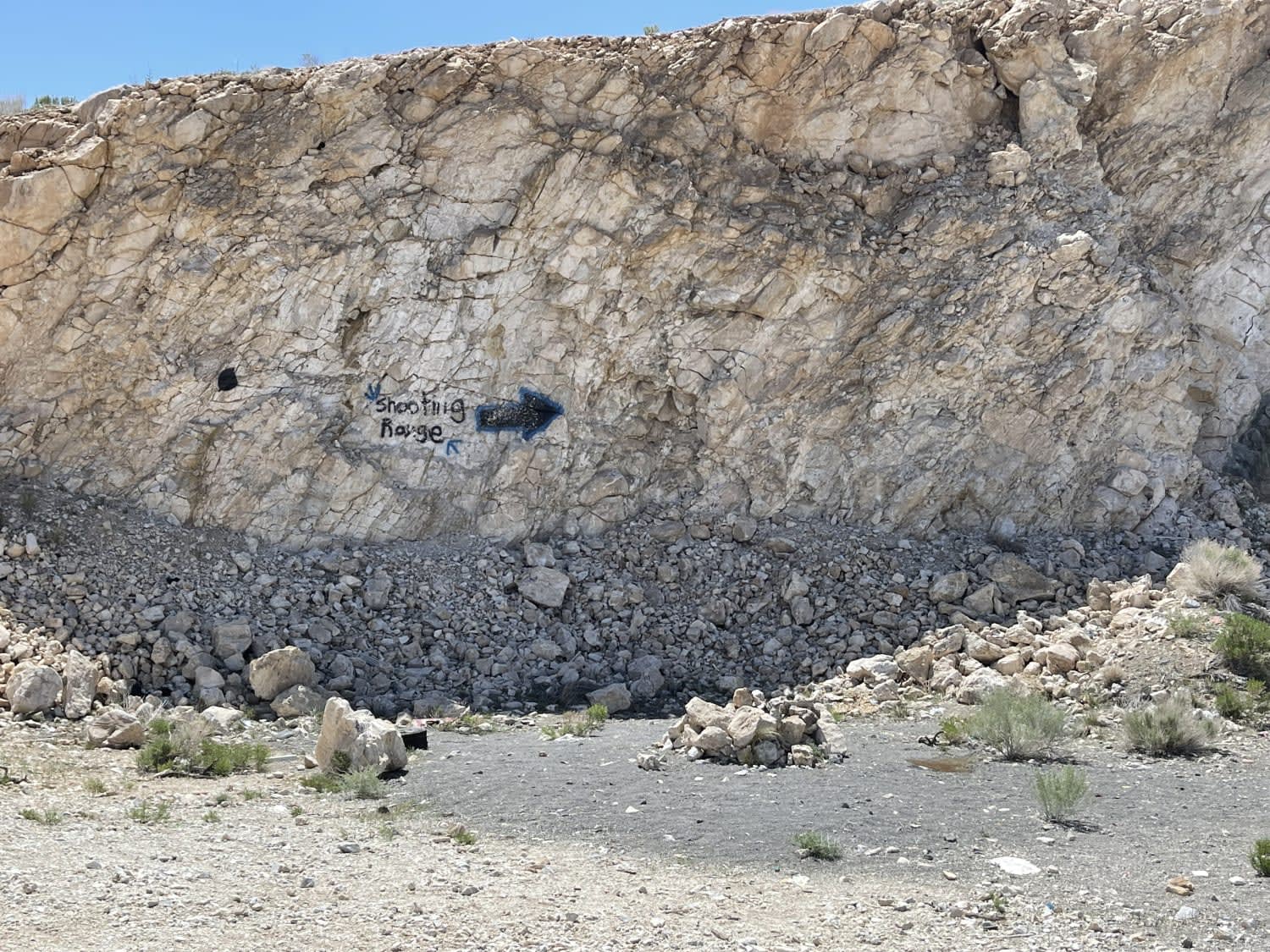
The "Shooting Range" Quarry
Alpers Canyon Upper FS2S42
The onX Offroad Difference
onX Offroad combines trail photos, descriptions, difficulty ratings, width restrictions, seasonality, and more in a user-friendly interface. Available on all devices, with offline access and full compatibility with CarPlay and Android Auto. Discover what you’re missing today!
