Off-Road Trails in California
Discover off-road trails in California
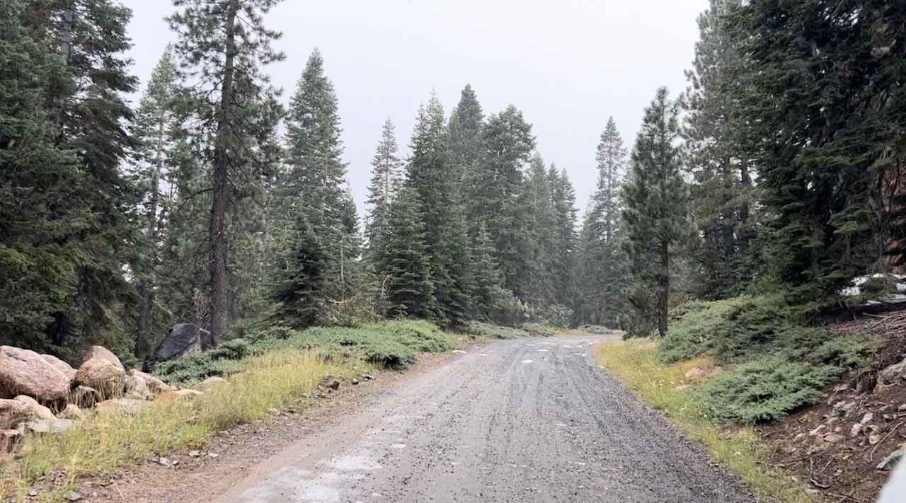
Learn more about Global Rock - FS 5S004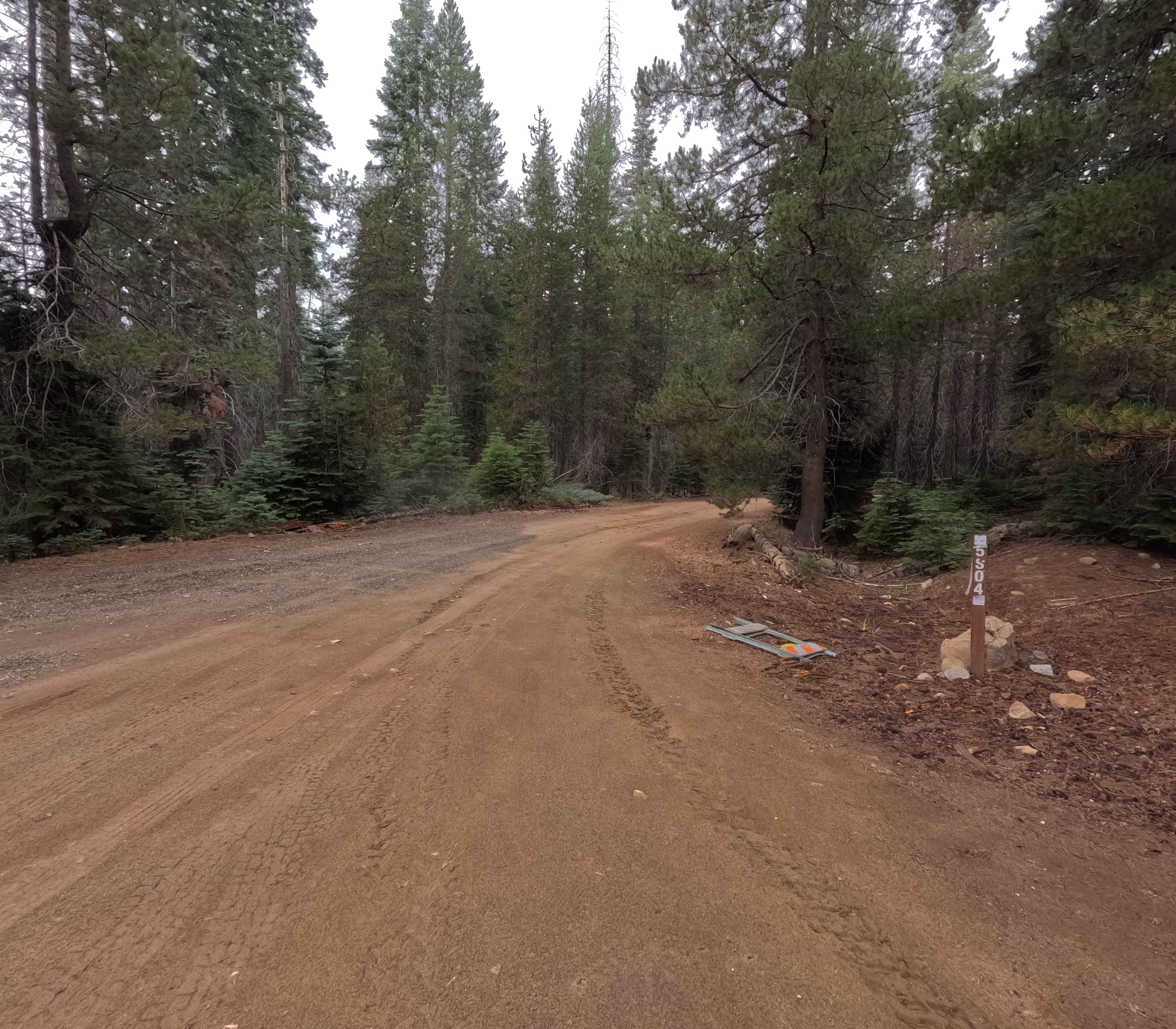
Global Rock - FS 5S004
Total Miles
3.3
Tech Rating
Easy
Best Time
Summer, Fall
Learn more about Glory Ridge - 2N15 (alternate)
Glory Ridge - 2N15 (alternate)
Total Miles
1.9
Tech Rating
Moderate
Best Time
Spring, Summer, Fall
Learn more about Goat Canyon Overlook
Goat Canyon Overlook
Total Miles
2.7
Tech Rating
Moderate
Best Time
Summer, Spring, Fall, Winter
Learn more about Goat Ranch Cutoff
Goat Ranch Cutoff
Total Miles
6.4
Tech Rating
Easy
Best Time
Fall, Summer
Learn more about Gobblers Knob Spur A
Gobblers Knob Spur A
Total Miles
5.5
Tech Rating
Easy
Best Time
Spring, Summer, Fall
Learn more about Gold Crown Mine - FS3S50
Gold Crown Mine - FS3S50
Total Miles
3.6
Tech Rating
Easy
Best Time
Fall, Summer
Learn more about Gold Fever - 3N05
Gold Fever - 3N05
Total Miles
1.1
Tech Rating
Easy
Best Time
Spring, Summer, Fall
Learn more about Gold Hill OHV - 19W17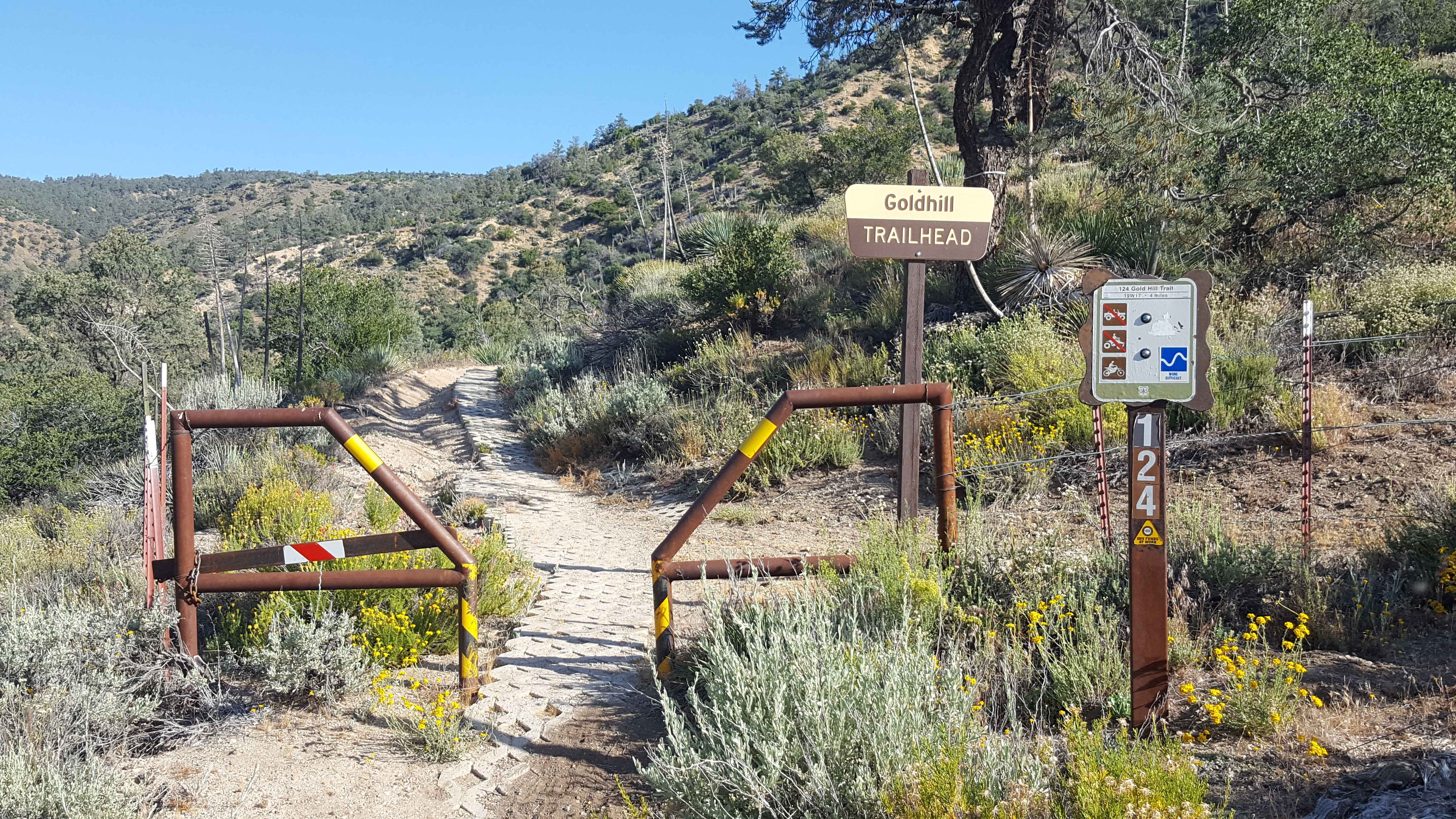
Gold Hill OHV - 19W17
Total Miles
4.1
Tech Rating
Moderate
Best Time
Summer, Fall
Learn more about Gold Hill Road - FS 8N01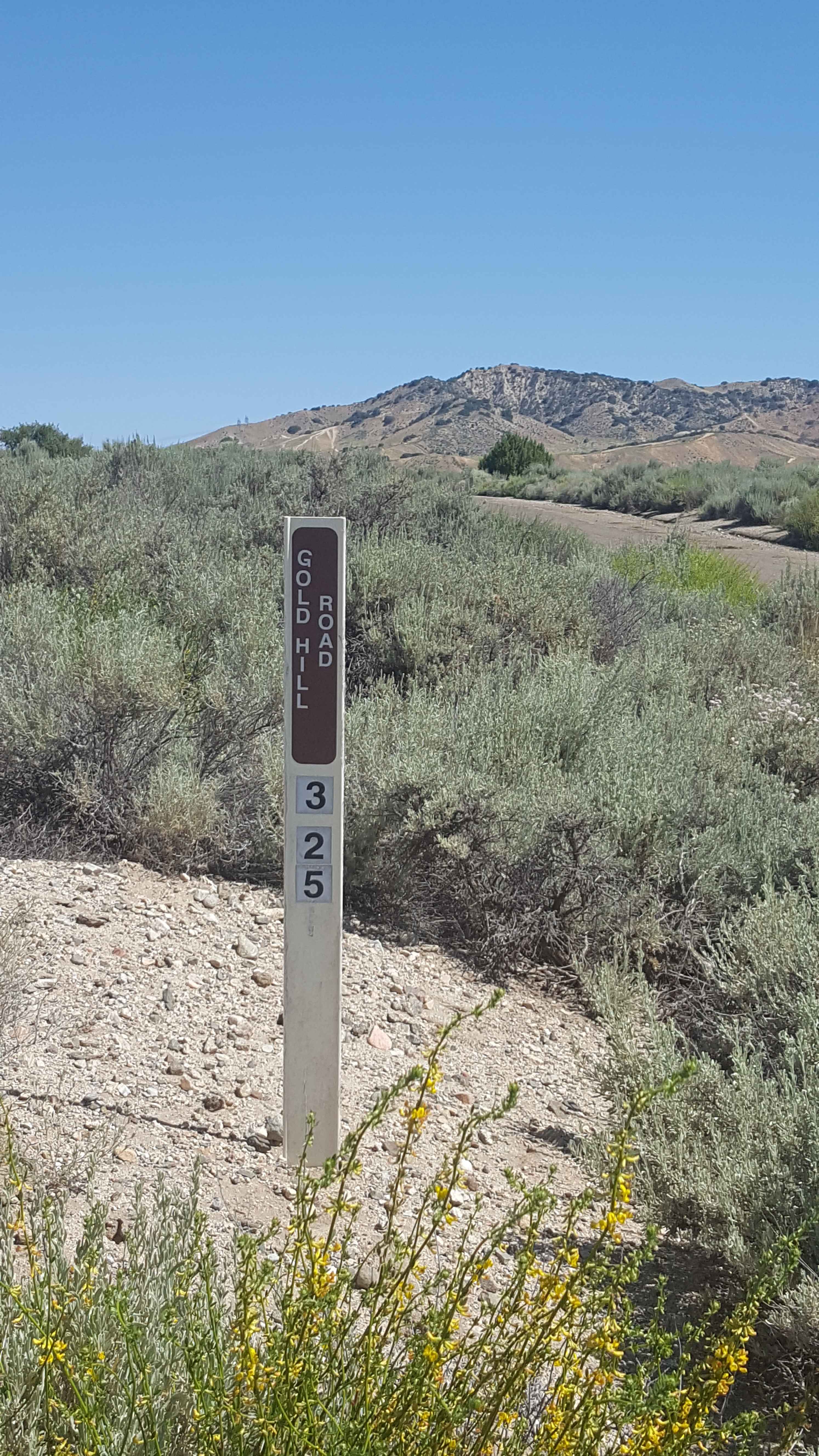
Gold Hill Road - FS 8N01
Total Miles
12.1
Tech Rating
Easy
Best Time
Summer, Fall
Learn more about Gold Mountain - FS 3N69
Gold Mountain - FS 3N69
Total Miles
4.4
Tech Rating
Difficult
Best Time
Spring, Summer, Fall, Winter

Learn more about Gold Note 4WD
Gold Note 4WD
Total Miles
0.9
Tech Rating
Easy
Best Time
Spring, Summer, Fall
Learn more about Gold Valley Connector
Gold Valley Connector
Total Miles
0.6
Tech Rating
Easy
Best Time
Spring, Fall, Summer
Learn more about Gold Valley Rim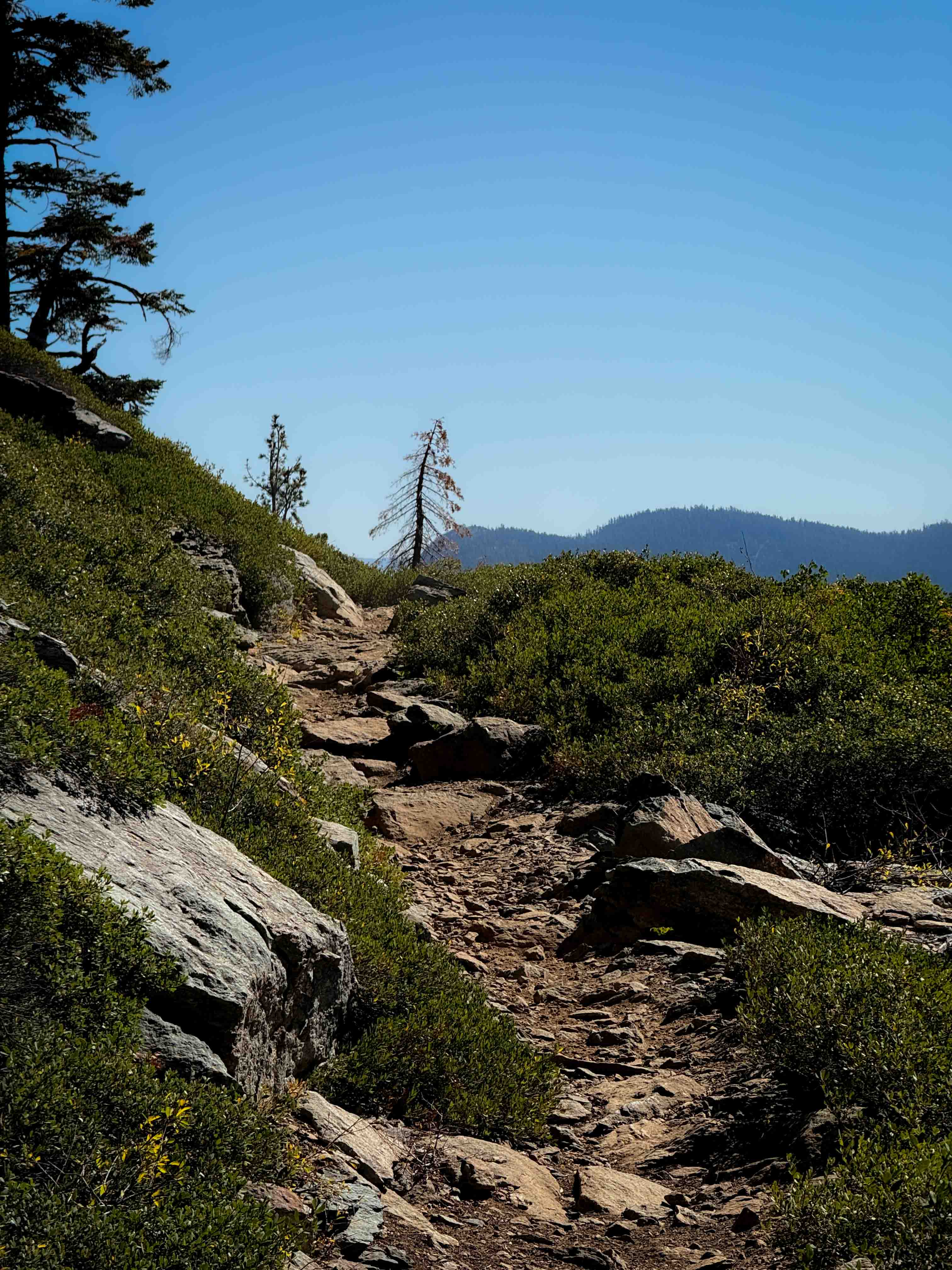
Gold Valley Rim
Total Miles
5.0
Tech Rating
Moderate
Best Time
Summer, Spring, Fall
Learn more about Gold Valley Road - Willow Spring Spur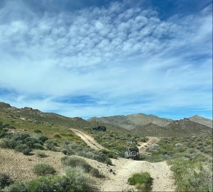
Gold Valley Road - Willow Spring Spur
Total Miles
13.0
Tech Rating
Easy
Best Time
Spring, Fall
Learn more about Golden Gate - FS 32399
Golden Gate - FS 32399
Total Miles
6.2
Tech Rating
Easy
Best Time
Summer, Fall, Spring
Learn more about Goler Canyon Road
Goler Canyon Road
Total Miles
9.1
Tech Rating
Moderate
Best Time
Spring, Fall
Learn more about Goler Wash & Mengel Pass
Goler Wash & Mengel Pass
Total Miles
12.3
Tech Rating
Moderate
Best Time
Spring, Fall, Winter
ATV trails in California


UTV/side-by-side trails in California


Learn more about 3N267 Fenner Saddle (4N12)
3N267 Fenner Saddle (4N12)
Total Miles
3.8
Tech Rating
Difficult
Best Time
Spring, Summer, Fall, Winter

The onX Offroad Difference
onX Offroad combines trail photos, descriptions, difficulty ratings, width restrictions, seasonality, and more in a user-friendly interface. Available on all devices, with offline access and full compatibility with CarPlay and Android Auto. Discover what you’re missing today!