Gold Crown Mine - FS3S50
Total Miles
3.6
Technical Rating
Best Time
Fall, Summer
Trail Type
Full-Width Road
Accessible By
Trail Overview
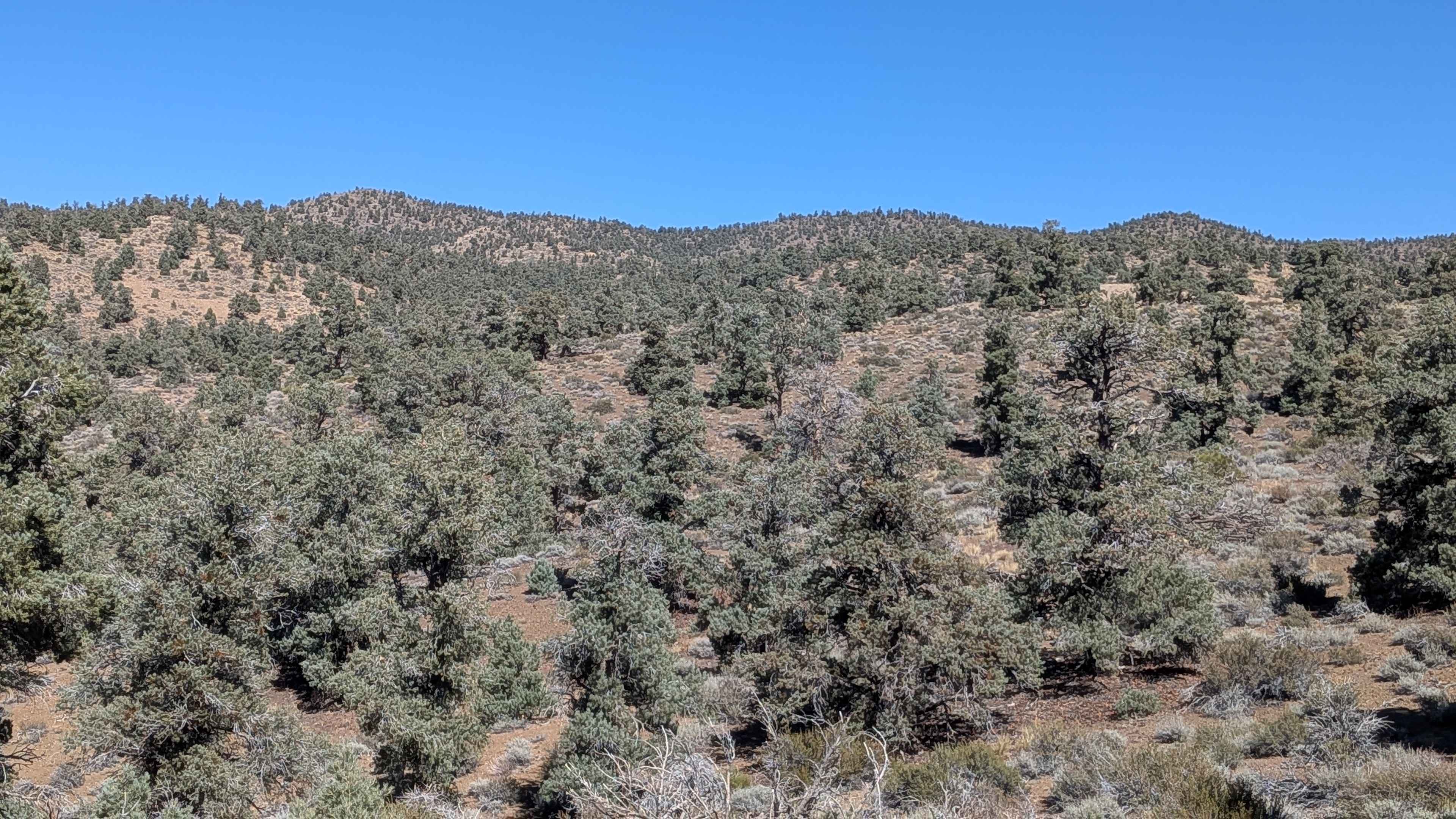
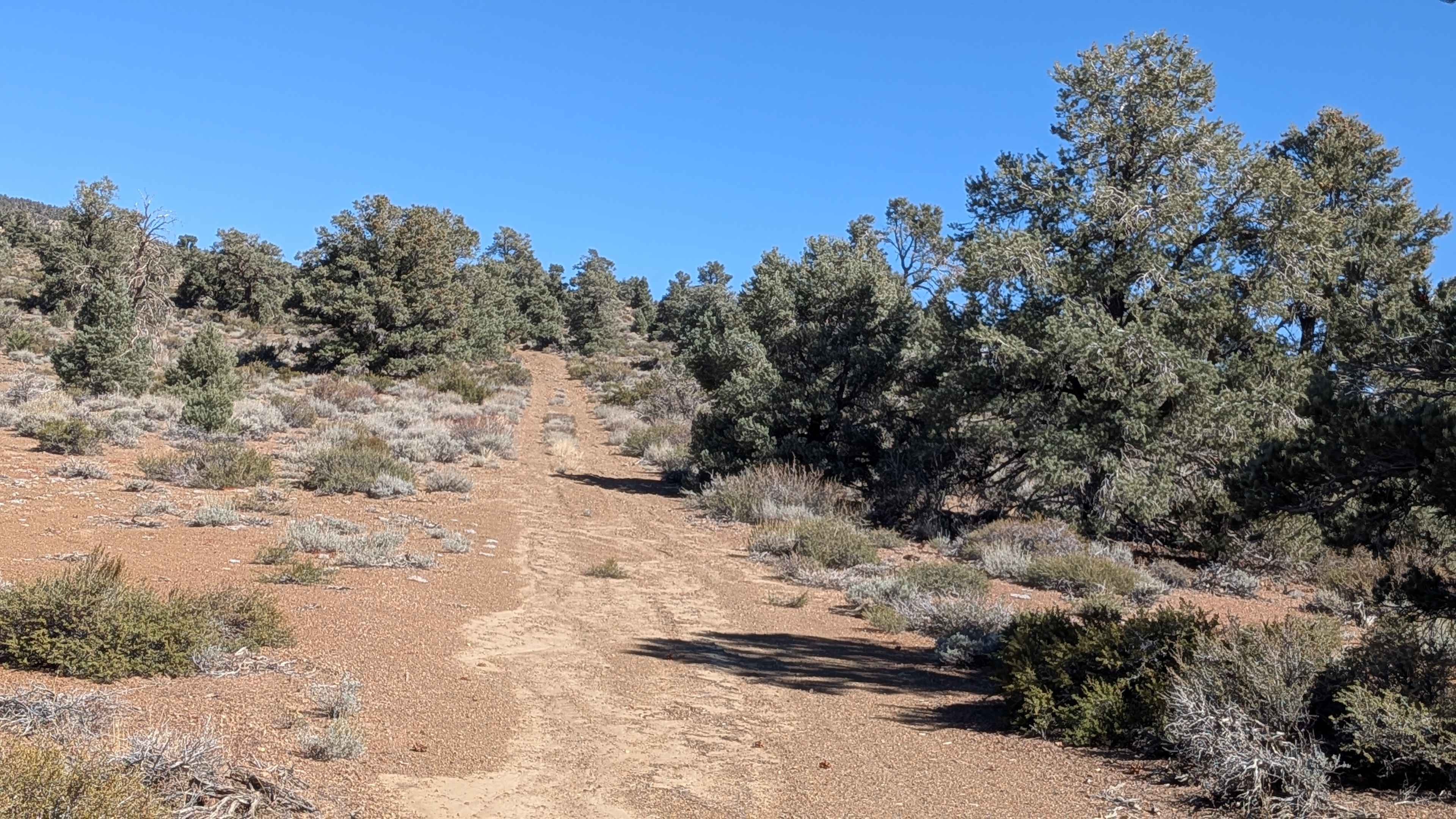
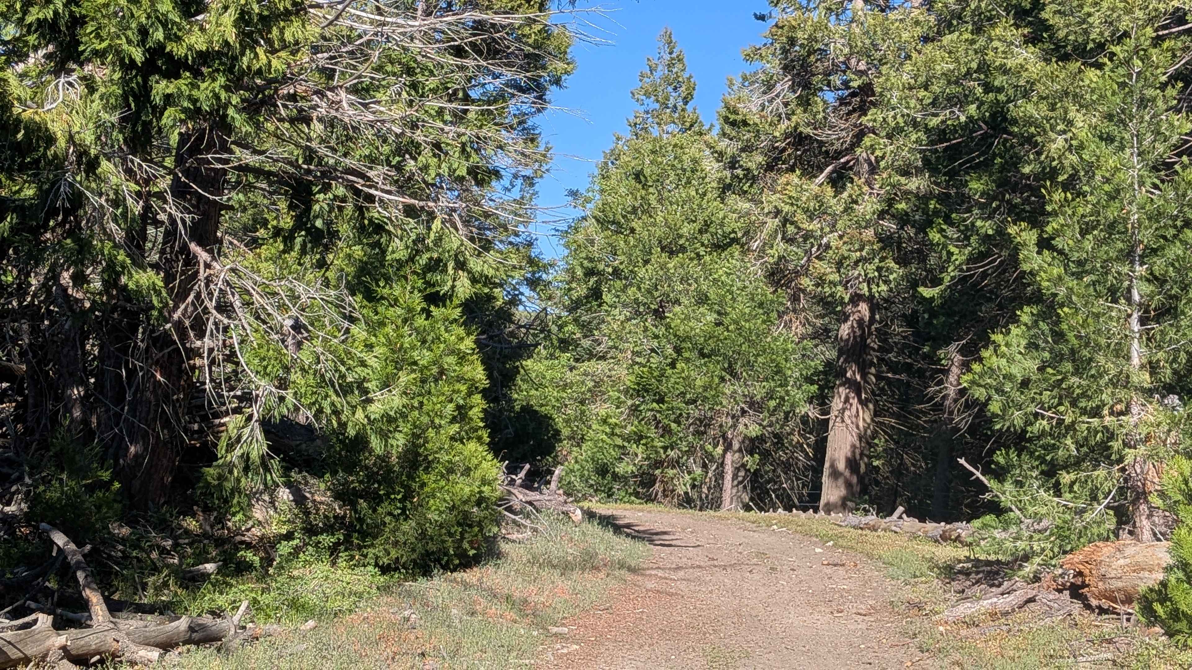
This 3.63-mile point-to-point trail climbs 811 feet and drops 707 feet, starting and ending on FS3S157E near Chidago Canyon Road. The mostly sand surface is 1.5 vehicles wide, following a power line as it slowly climbs through a small canyon full of sagebrush, other brush, and juniper pine trees. You get 360-degree views of the White Mountains, Glass Mountains, Eastern Sierras, and many surrounding hills and valleys. After a mile, the sand turns to shale and small rocks. There is a small mine at one spot that looks like a big pile of dirt. At mile 2.5, you reach the apex of the trail with beautiful views of the Eastern Sierras.
Photos of Gold Crown Mine - FS3S50
Difficulty
Lots of very small ruts due to water runoff, all less than 12 inches. At mile 1.6, there's a small hill full of small rocks that would be challenging for non-4x4s. Some branches near the end are overgrown and will hit your truck. After mile 2.3, you hit a shelf road where you need to use caution not to slide off the cliff. The trail becomes very off-camber in sections.
Status Reports
Gold Crown Mine - FS3S50 can be accessed by the following ride types:
- High-Clearance 4x4
- SUV
- SxS (60")
- ATV (50")
- Dirt Bike
Gold Crown Mine - FS3S50 Map
Popular Trails
Buck Rock Jeep Trail

3S121 - Whoopsie Test Ride
West Evans - FS 31E62
The onX Offroad Difference
onX Offroad combines trail photos, descriptions, difficulty ratings, width restrictions, seasonality, and more in a user-friendly interface. Available on all devices, with offline access and full compatibility with CarPlay and Android Auto. Discover what you’re missing today!