Golden Gate - FS 32399
Total Miles
6.2
Technical Rating
Best Time
Summer, Fall, Spring
Trail Type
Full-Width Road
Accessible By
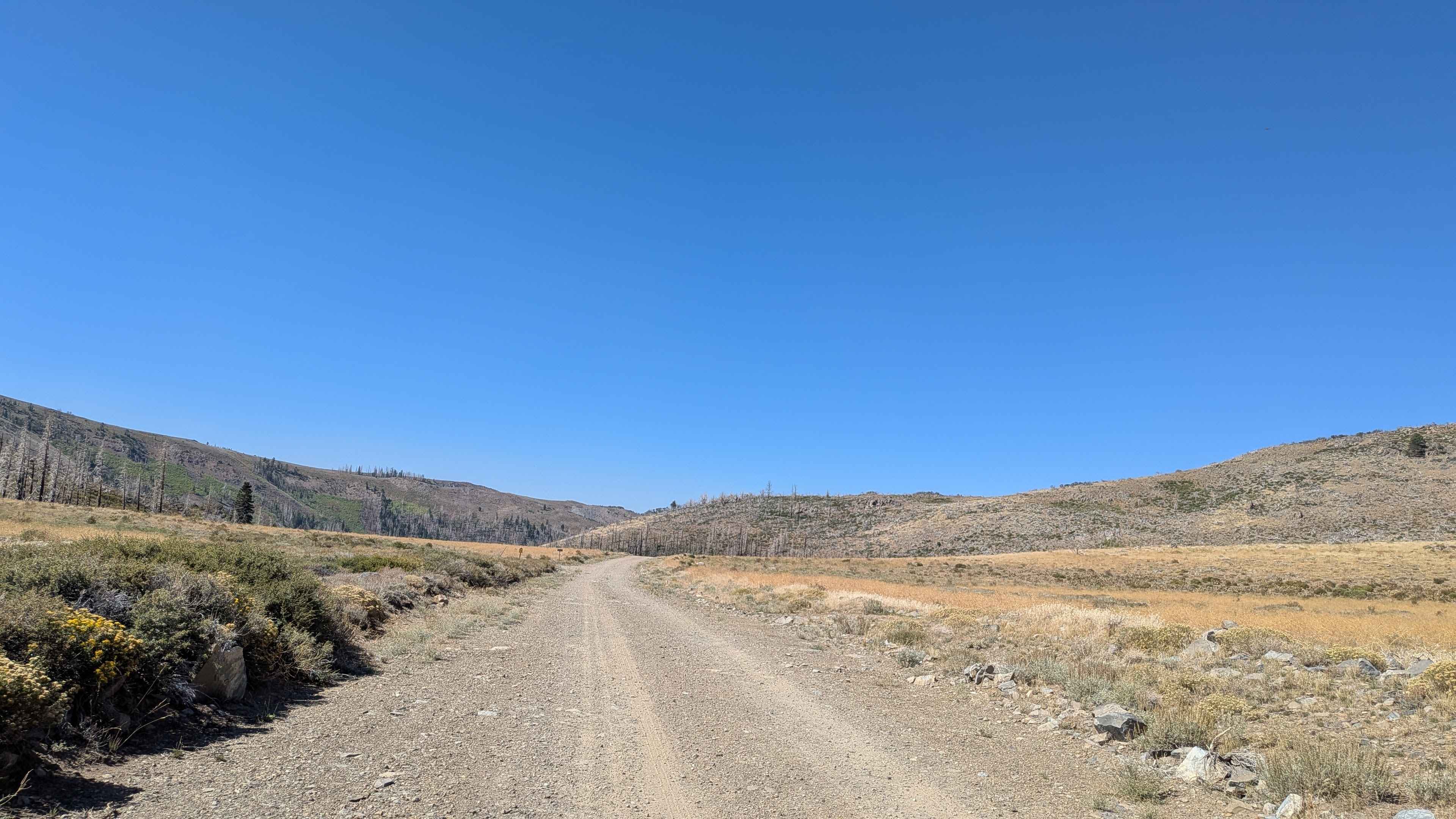
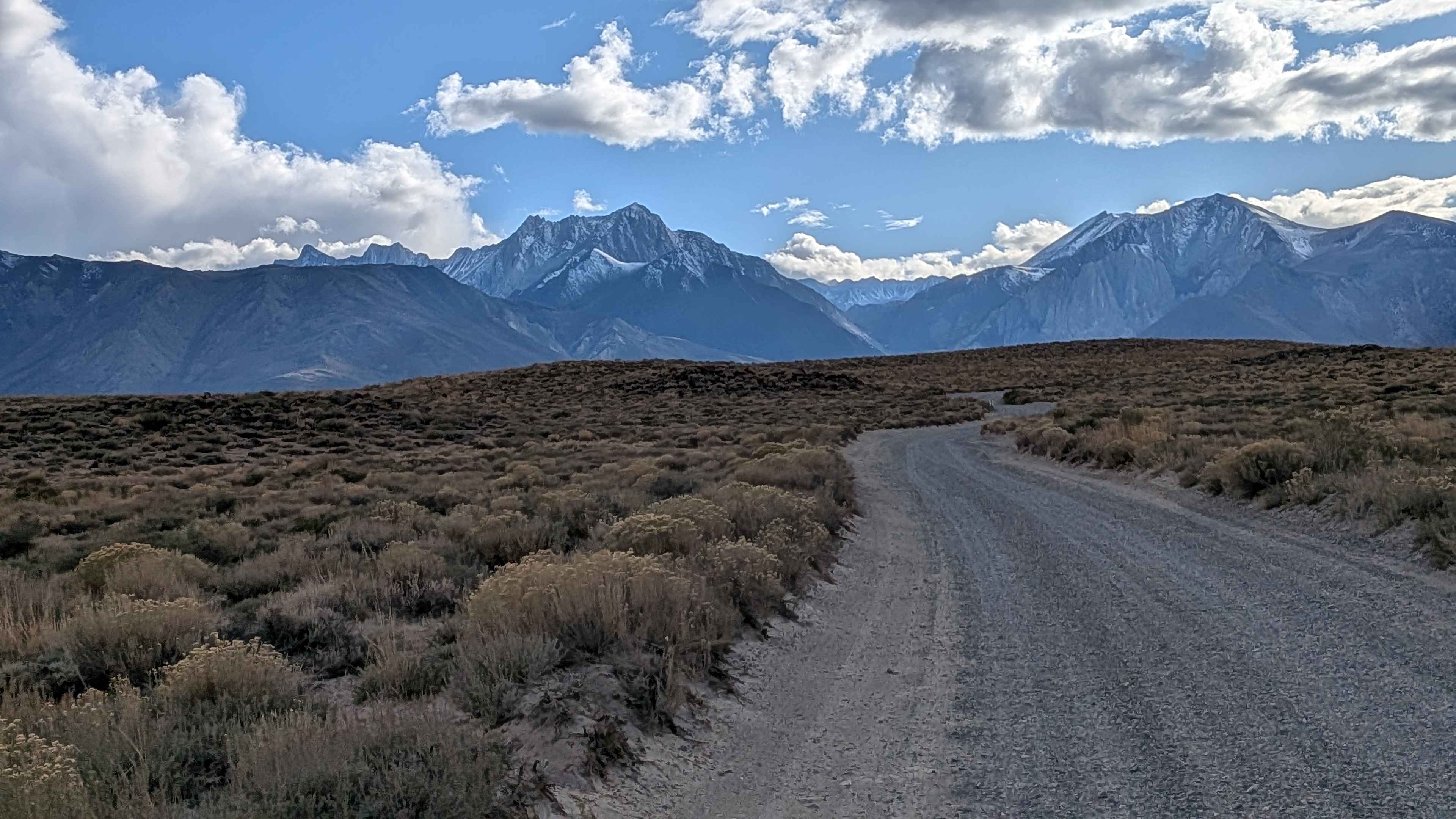
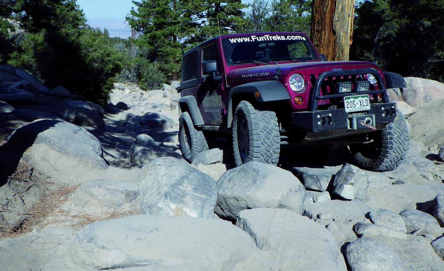
Trail Overview
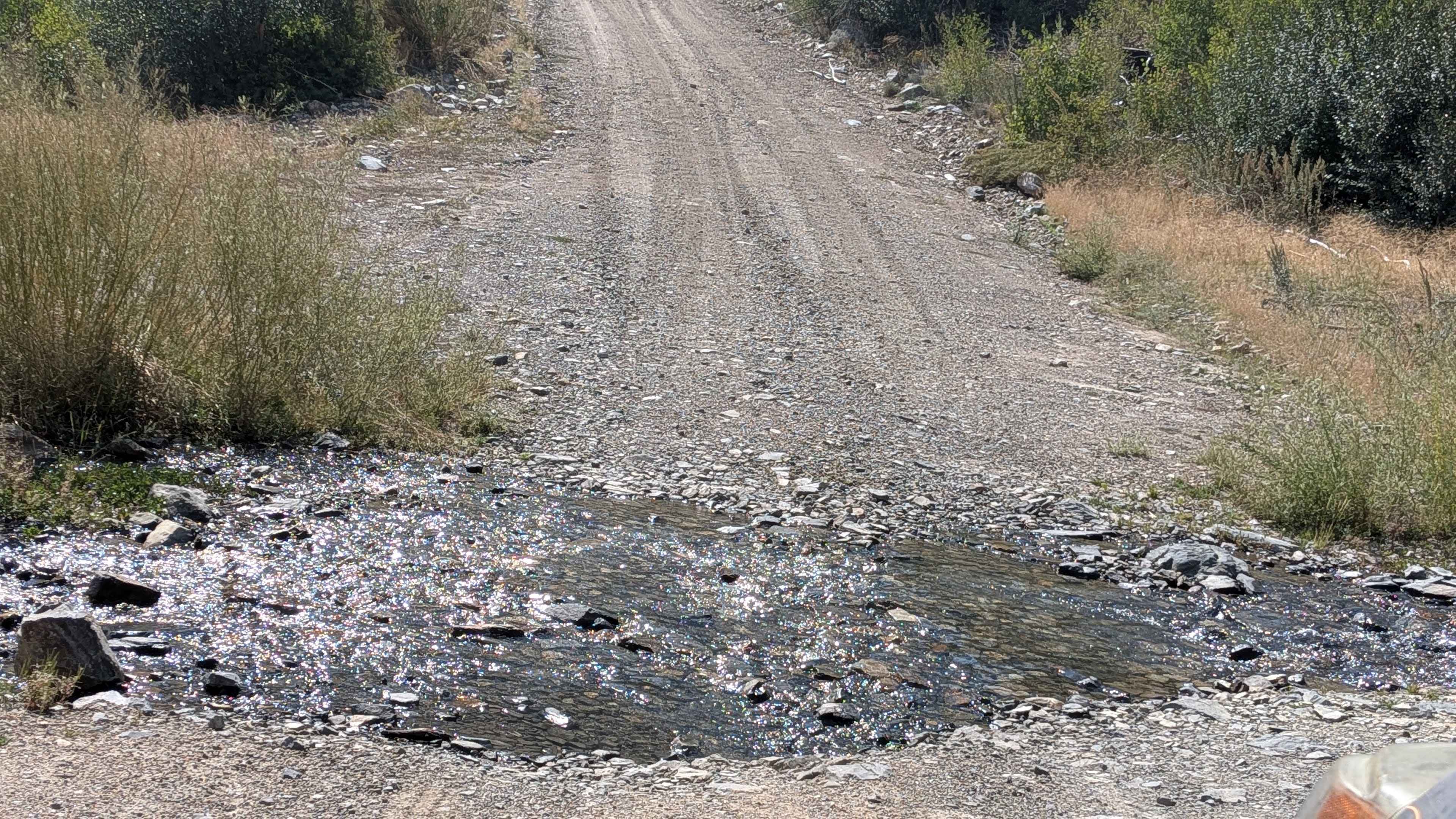
This 12-mile out-and-back route climbs nearly 3,000 feet and drops over 300 feet in just over 7 miles before reaching the Carson-Iceberg Wilderness boundary. It offers expansive views of the surrounding mountains and a mix of meadows, canyons, and forested terrain. The trail begins as a wide, graded road about two and a half vehicles wide, made of dusty sand and gravel. For the first two miles, you travel through an open meadow before the climb steepens as the road narrows into a canyon. Along the way, you'll notice remnants of past wildfires on the hillsides. At mile 3, you'll encounter the first creek crossing, which also marks where the remaining forest begins. Another creek crossing follows at mile 3.5. Shortly after mile 4, the road cuts across a short shelf section before continuing uphill. By mile 5.5, the trail reaches a plateau with a large open meadow. The road tops out around 8,000 feet before ending at the Carson-Iceberg Wilderness boundary, where motor vehicles are not allowed. From here, you can continue on foot or horseback into the wilderness via the Snowgrass Creek Trail or Little Antelope Trail. There is also a nearby pack station offering rides.
Photos of Golden Gate - FS 32399
Difficulty
Most of the road is smooth and easy, but the two creek crossings can be challenging depending on the season and water flow, occasionally pushing difficulty above a 2.
History
Golden Gate Road was the location of the historic Golden Gate Mine during the California Gold Rush, which produced significant amounts of gold and featured a notable stamp mill. While the road itself was used for mining and access to the area, the name likely derives from the mine, not from the famous San Francisco bridge. The site is now popular for outdoor recreation and is known for its historical mining artifacts, including the remains of the stamp mill.
Status Reports
Golden Gate - FS 32399 can be accessed by the following ride types:
- High-Clearance 4x4
- SUV
Golden Gate - FS 32399 Map
Popular Trails
Wish & Wash
Sledgehammer
Wild Willy's Hot Springs
John Bull Trail
The onX Offroad Difference
onX Offroad combines trail photos, descriptions, difficulty ratings, width restrictions, seasonality, and more in a user-friendly interface. Available on all devices, with offline access and full compatibility with CarPlay and Android Auto. Discover what you’re missing today!