Wild Willy's Hot Springs
Total Miles
1.9
Technical Rating
Best Time
Summer, Fall, Spring
Trail Type
Full-Width Road
Accessible By
Trail Overview
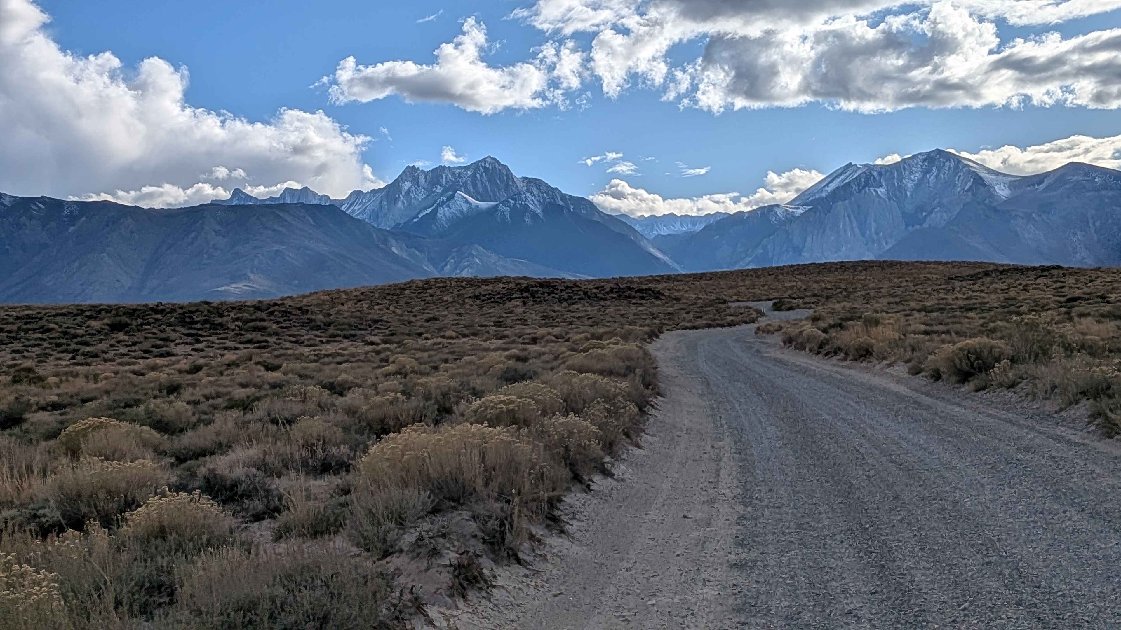
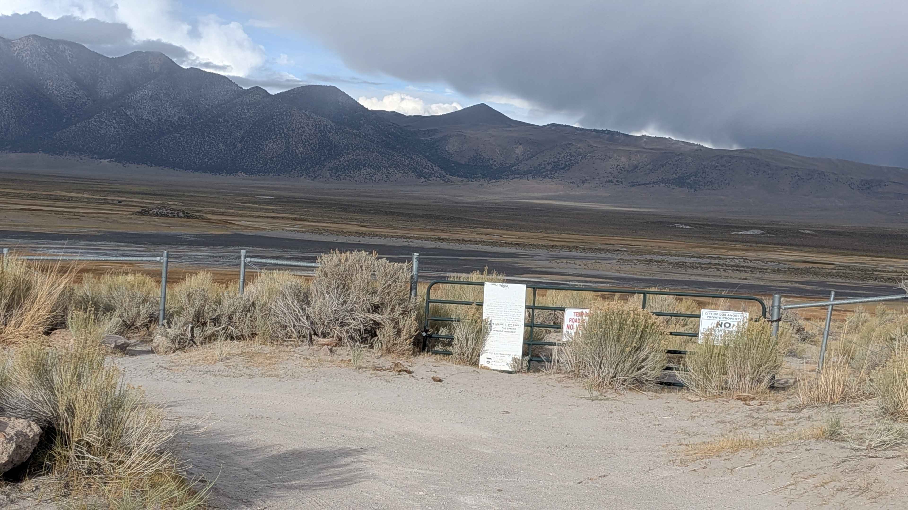
This 1.9-mile route starts on Benton Crossing Road, 4 miles from Highway 395, and passes the Wild Willy's Hot Springs parking lot before ending at a posted closure preventing access to Lake Crowley. The first half features a gravel and sand surface, 1.5 to 2 vehicles wide, with pullouts for passing or wide vehicles. The second half narrows to one vehicle wide with a sand and dirt surface that has minor ruts and a slightly raised middle section winding through the meadow. The trail is surrounded by 360-degree views with the Eastern Sierras to the west and north, and the Glass Mountains to the east. Sagebrush and grasses line the route on Bureau of Land Management public land.
Photos of Wild Willy's Hot Springs
Difficulty
This trail features minor ruts and a slightly raised middle section in the second half of the trail. The most difficult part is making space for vehicles coming the other way and finding a parking space.
History
Wild Willy's Hot Springs formed from ancient volcanic activity in the Long Valley Caldera, which was once a supervolcano. Early Native Americans and settlers considered the area sacred. The hot spring, known by locals as Crowley Hot Springs, is now managed by the Bureau of Land Management (BLM) and Mono County and features two main geothermal pools with water temperatures between 100-104degF.
Status Reports
Wild Willy's Hot Springs can be accessed by the following ride types:
- High-Clearance 4x4
- SUV
- SxS (60")
- ATV (50")
- Dirt Bike
Wild Willy's Hot Springs Map
Popular Trails
South Fork Lubken Creek Canyon Loop
Glass Creek to Mammoth Mountain Lodge - Part 1
Aiken Mine Rd

The onX Offroad Difference
onX Offroad combines trail photos, descriptions, difficulty ratings, width restrictions, seasonality, and more in a user-friendly interface. Available on all devices, with offline access and full compatibility with CarPlay and Android Auto. Discover what you’re missing today!