South Fork Lubken Creek Canyon Loop
Total Miles
1.7
Technical Rating
Best Time
Fall, Spring
Trail Type
Full-Width Road
Accessible By
Trail Overview
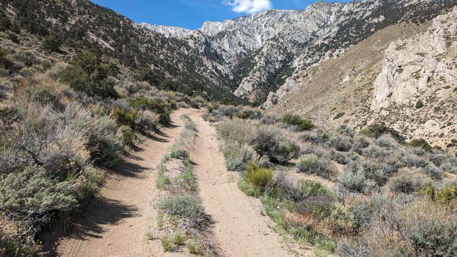
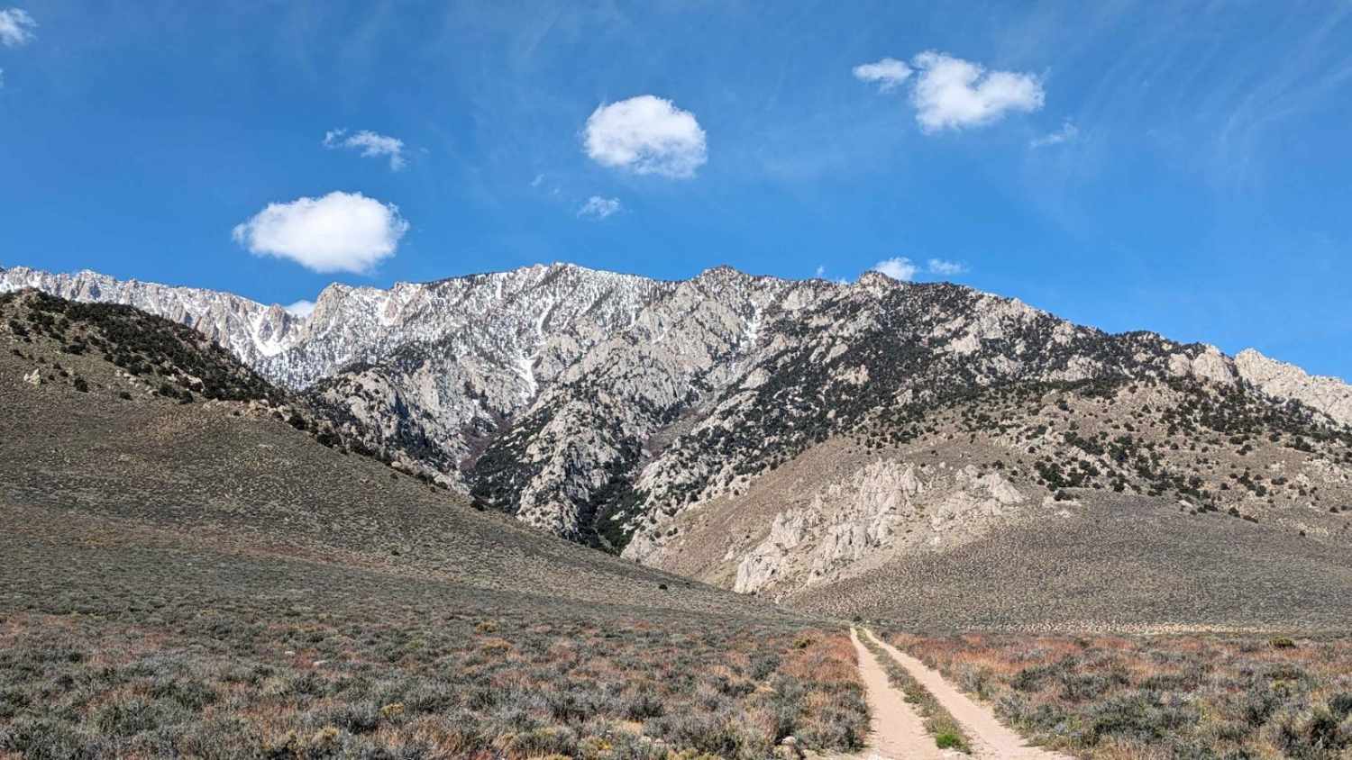
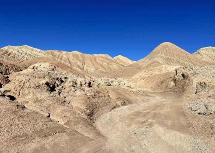
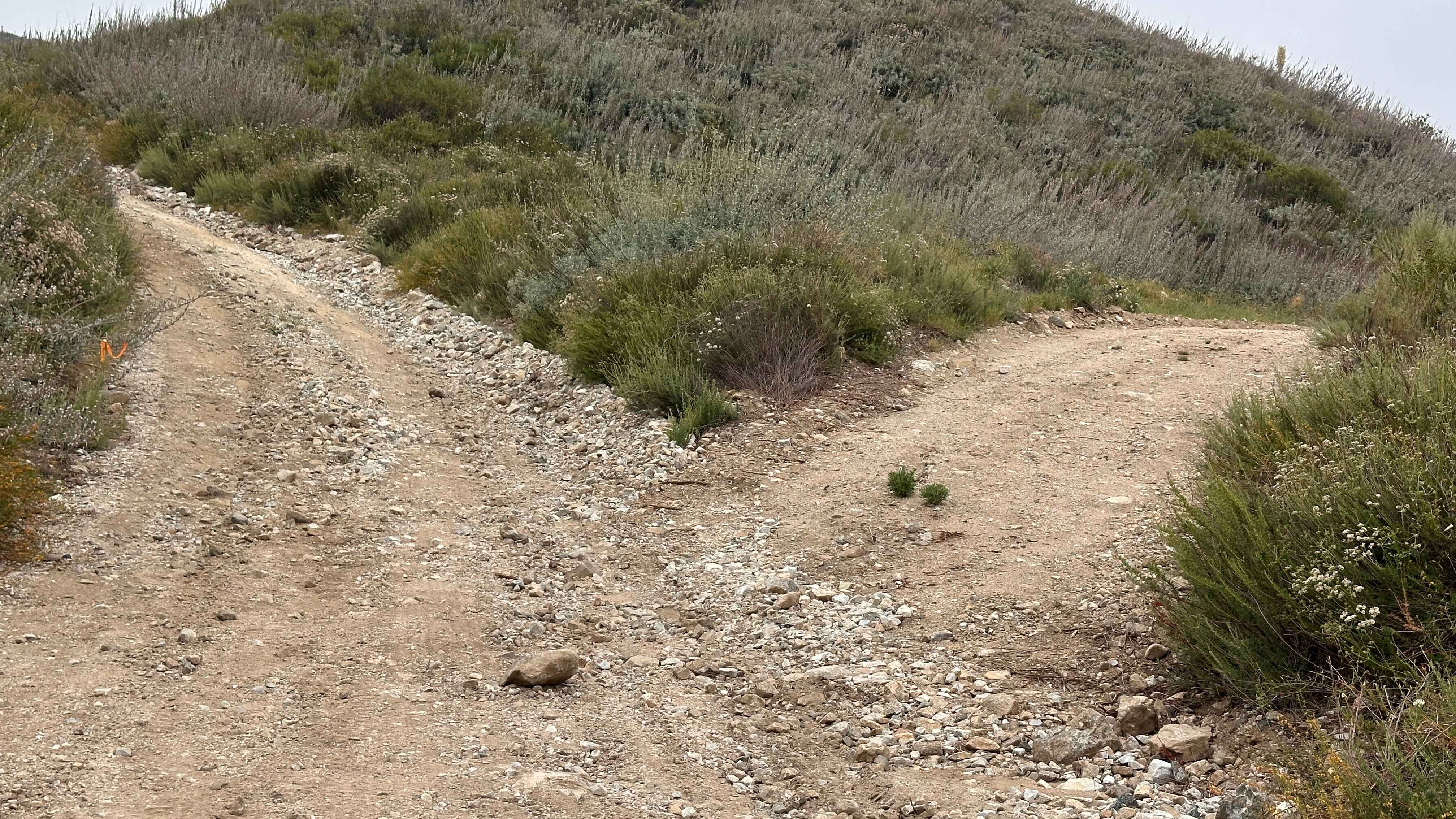
This 2-mile "loop" starts at 5,285 feet of elevation and rises to 5,865 feet. The trail is sandy with a few rocky sections. There are also a few sections with ruts due to snowmelt and rain run-off. High-clearance vehicles are recommended. The trail turns more challenging as you rise into the canyon. At the end of the two-track trail is a hiking trail that continues up the canyon. There are beautiful flowers as well as stunning views of the surrounding mountains. The way back gives you nice views of the Alabama Hills rock formations to the east and Owens Lake to the southeast.
Photos of South Fork Lubken Creek Canyon Loop
Difficulty
Most of the trail is packed sand. There are a few rocky sections. It gets more challenging as you rise into the canyon. Snowmelt and rain ruts are found in a few spots.
Status Reports
South Fork Lubken Creek Canyon Loop can be accessed by the following ride types:
- High-Clearance 4x4
- SUV
- Dirt Bike
South Fork Lubken Creek Canyon Loop Map
Popular Trails
Rainbow Wash
Split Rock Trek
The onX Offroad Difference
onX Offroad combines trail photos, descriptions, difficulty ratings, width restrictions, seasonality, and more in a user-friendly interface. Available on all devices, with offline access and full compatibility with CarPlay and Android Auto. Discover what you’re missing today!