Off-Road Trails in California
Discover off-road trails in California
Learn more about Grey Tuff Loop - FS 3S59
Grey Tuff Loop - FS 3S59
Total Miles
3.4
Tech Rating
Easy
Best Time
Fall, Summer, Spring
Learn more about Greys Mountain - FS 6S008
Greys Mountain - FS 6S008
Total Miles
7.0
Tech Rating
Easy
Best Time
Summer, Fall
Learn more about Grouse Springs-Bear Creek Connector
Grouse Springs-Bear Creek Connector
Total Miles
3.7
Tech Rating
Easy
Best Time
Spring, Summer, Fall
Learn more about Gunslinger Trail #11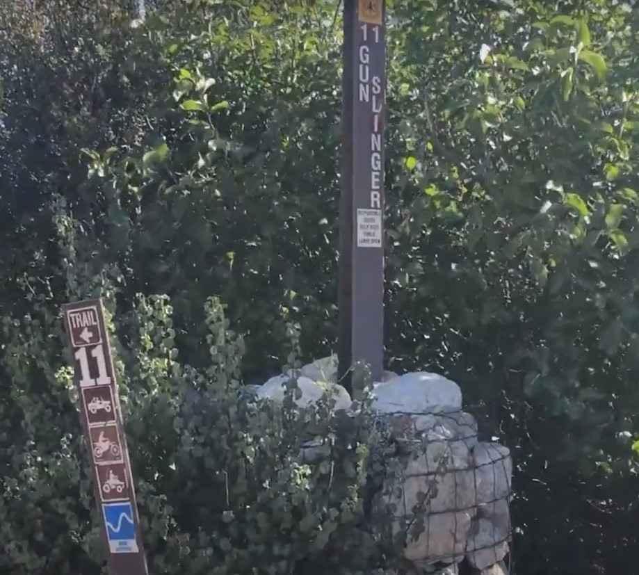
Gunslinger Trail #11
Total Miles
1.9
Tech Rating
Easy
Best Time
Spring, Summer, Fall, Winter
Learn more about Hahapa Flat Road
Hahapa Flat Road
Total Miles
3.7
Tech Rating
Easy
Best Time
Spring, Summer, Fall, Winter
Learn more about Haiwee Canyon Road - BLM SE776
Haiwee Canyon Road - BLM SE776
Total Miles
3.8
Tech Rating
Easy
Best Time
Fall, Summer, Spring
Learn more about Half Corral - FS 6S070X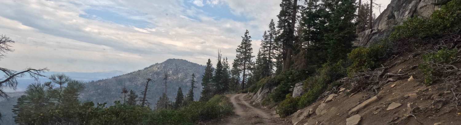
Half Corral - FS 6S070X
Total Miles
3.7
Tech Rating
Easy
Best Time
Summer, Fall
Learn more about Hanging Rock Loop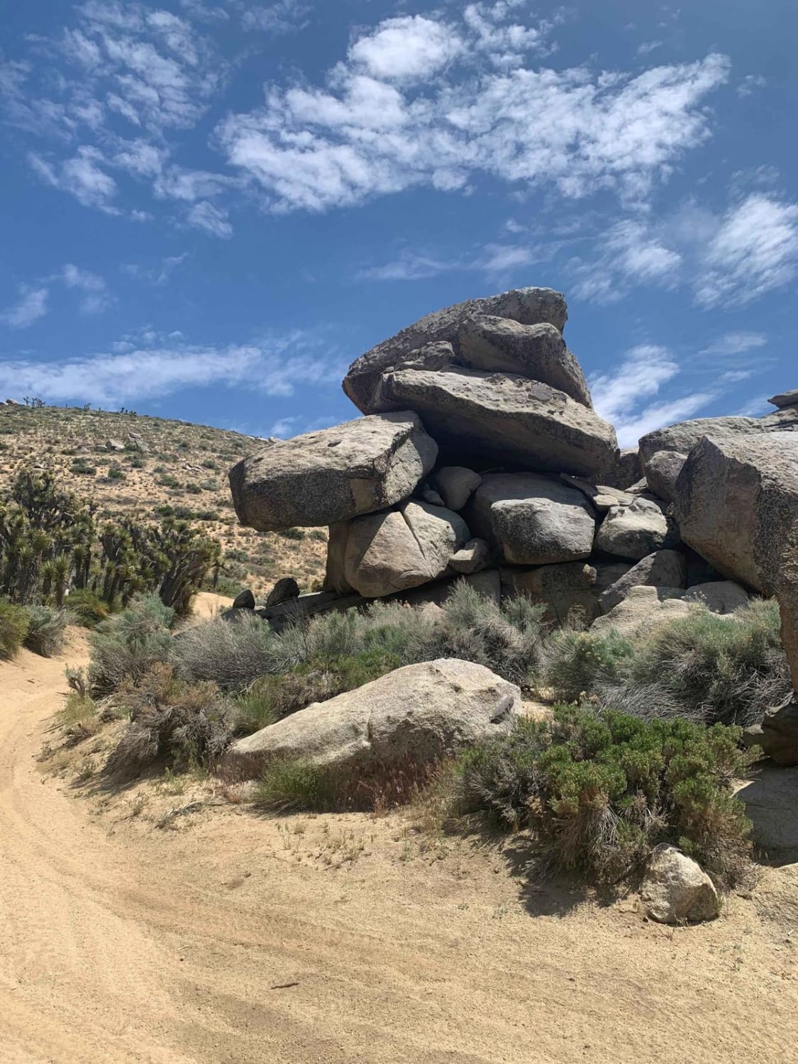
Hanging Rock Loop
Total Miles
7.6
Tech Rating
Easy
Best Time
Spring, Fall, Winter
Learn more about Happy Valley Ridgeline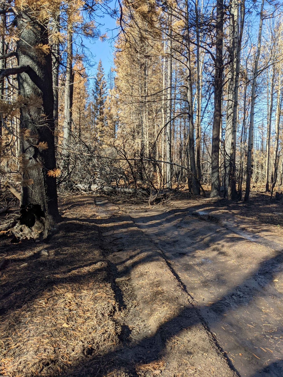
Happy Valley Ridgeline
Total Miles
34.4
Tech Rating
Easy
Best Time
Spring, Summer, Fall, Winter
Learn more about Harry Wade Exit Route - DVNP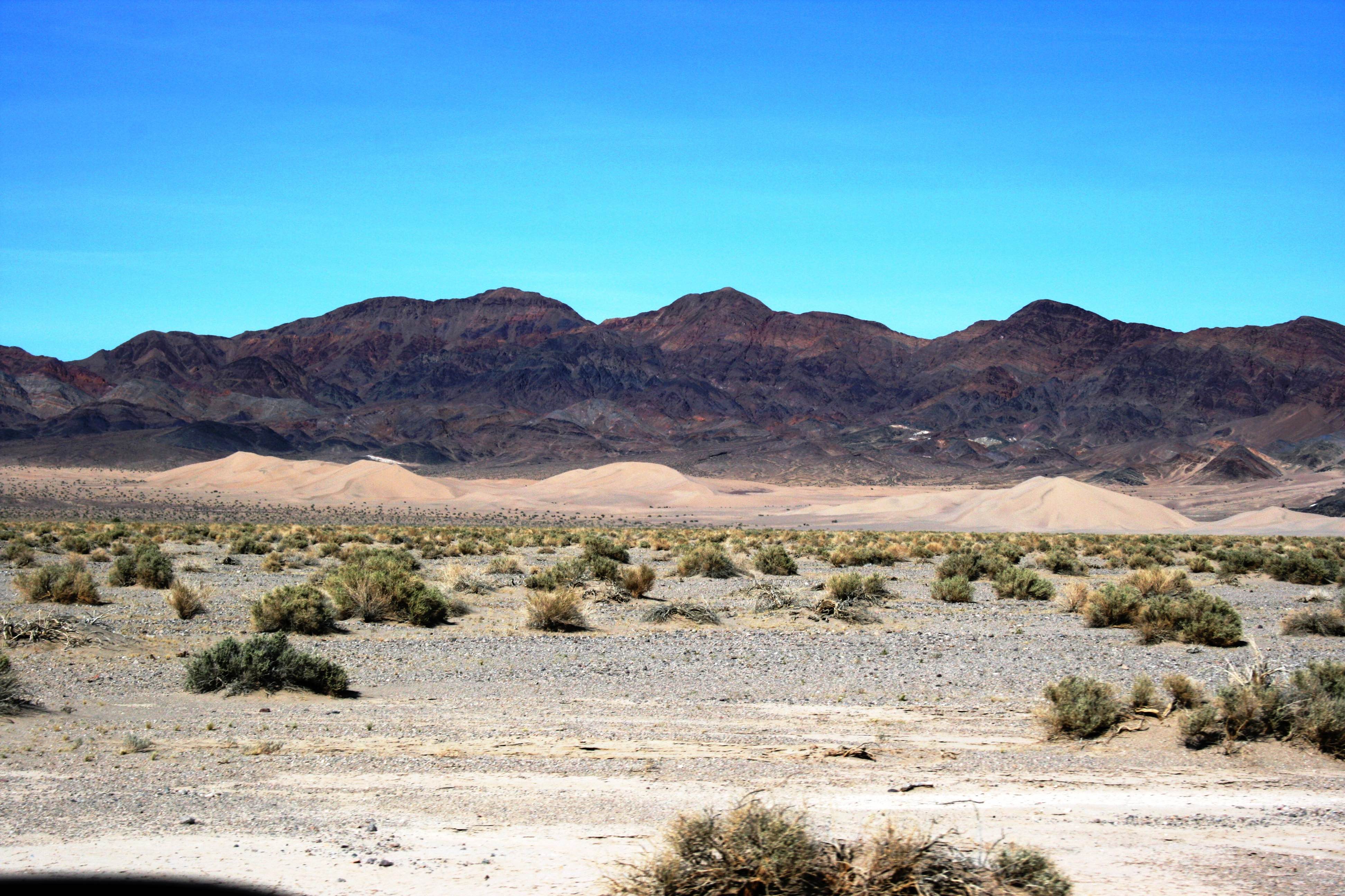
Harry Wade Exit Route - DVNP
Total Miles
31.6
Tech Rating
Easy
Best Time
Spring, Fall, Winter
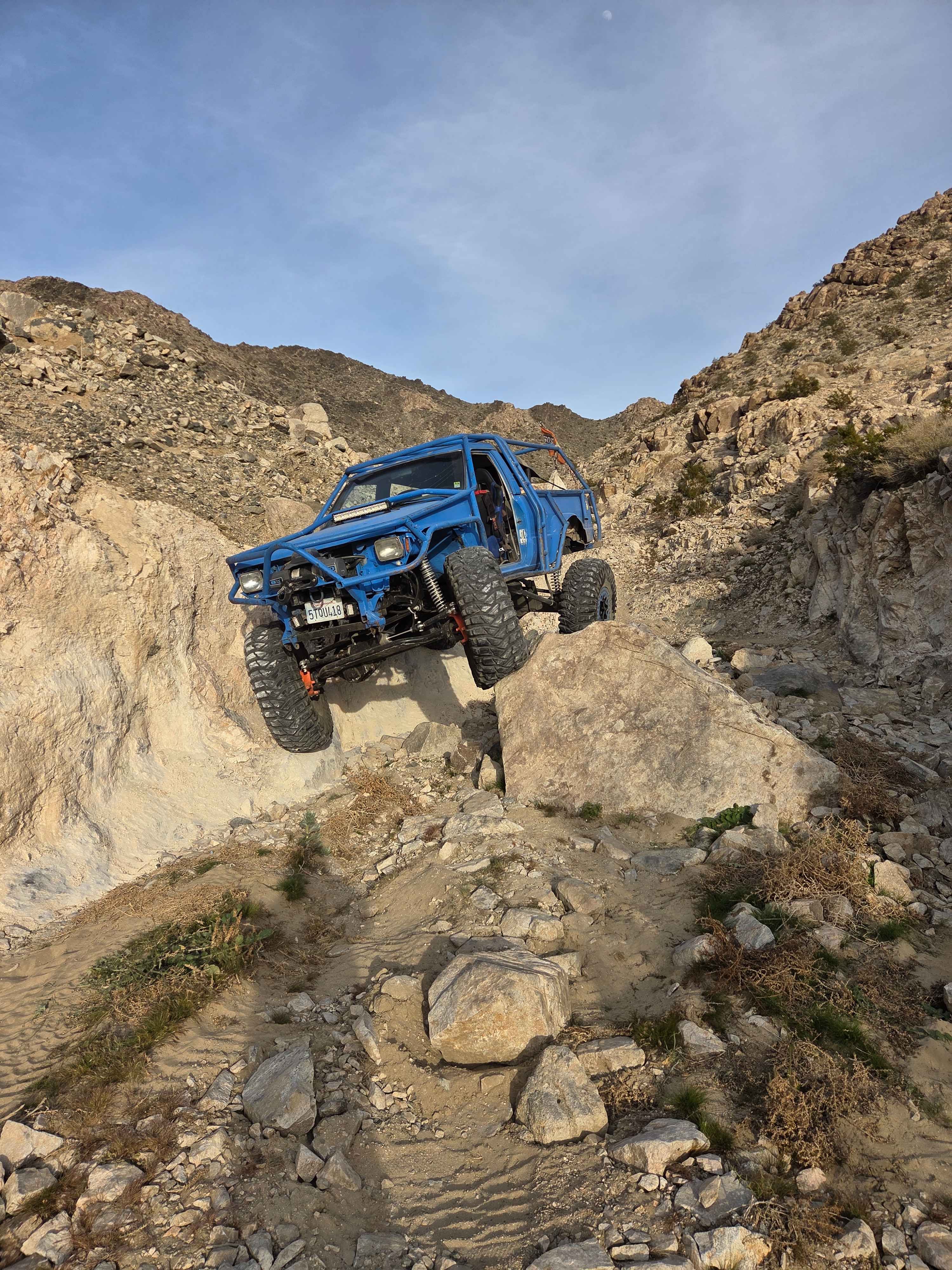
Learn more about Harvey Mine - 3N43
Harvey Mine - 3N43
Total Miles
0.8
Tech Rating
Moderate
Best Time
Spring, Summer, Fall
Learn more about Hauser Geode Beds West
Hauser Geode Beds West
Total Miles
6.1
Tech Rating
Moderate
Best Time
Spring, Fall
Learn more about Hawkins Peak Road
Hawkins Peak Road
Total Miles
3.2
Tech Rating
Easy
Best Time
Summer, Fall
Learn more about Hayden Springs
Hayden Springs
Total Miles
4.8
Tech Rating
Moderate
Best Time
Winter, Fall, Spring
Learn more about Heart Bar Peak 1N38
Heart Bar Peak 1N38
Total Miles
5.7
Tech Rating
Moderate
Best Time
Spring, Summer, Fall
Learn more about Heartbreak Hill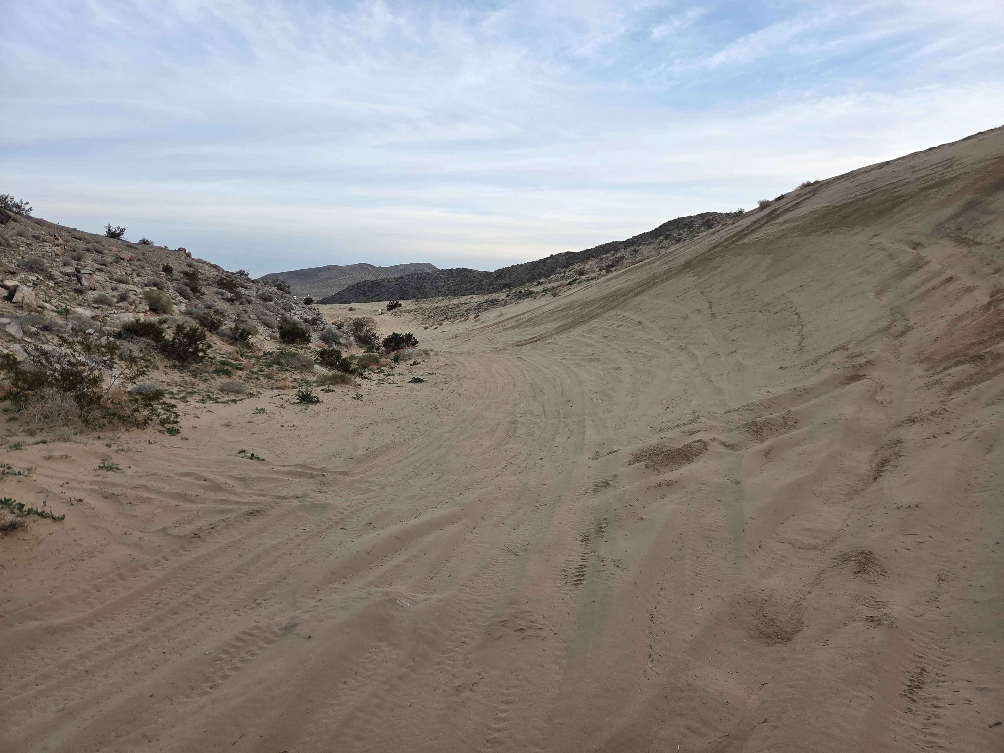
Heartbreak Hill
Total Miles
0.6
Tech Rating
Moderate
Best Time
Spring, Fall, Winter
Learn more about Heartbreak Ridge
Heartbreak Ridge
Total Miles
4.4
Tech Rating
Moderate
Best Time
Spring, Summer, Fall
Learn more about Heenan Spring Road - FS 31084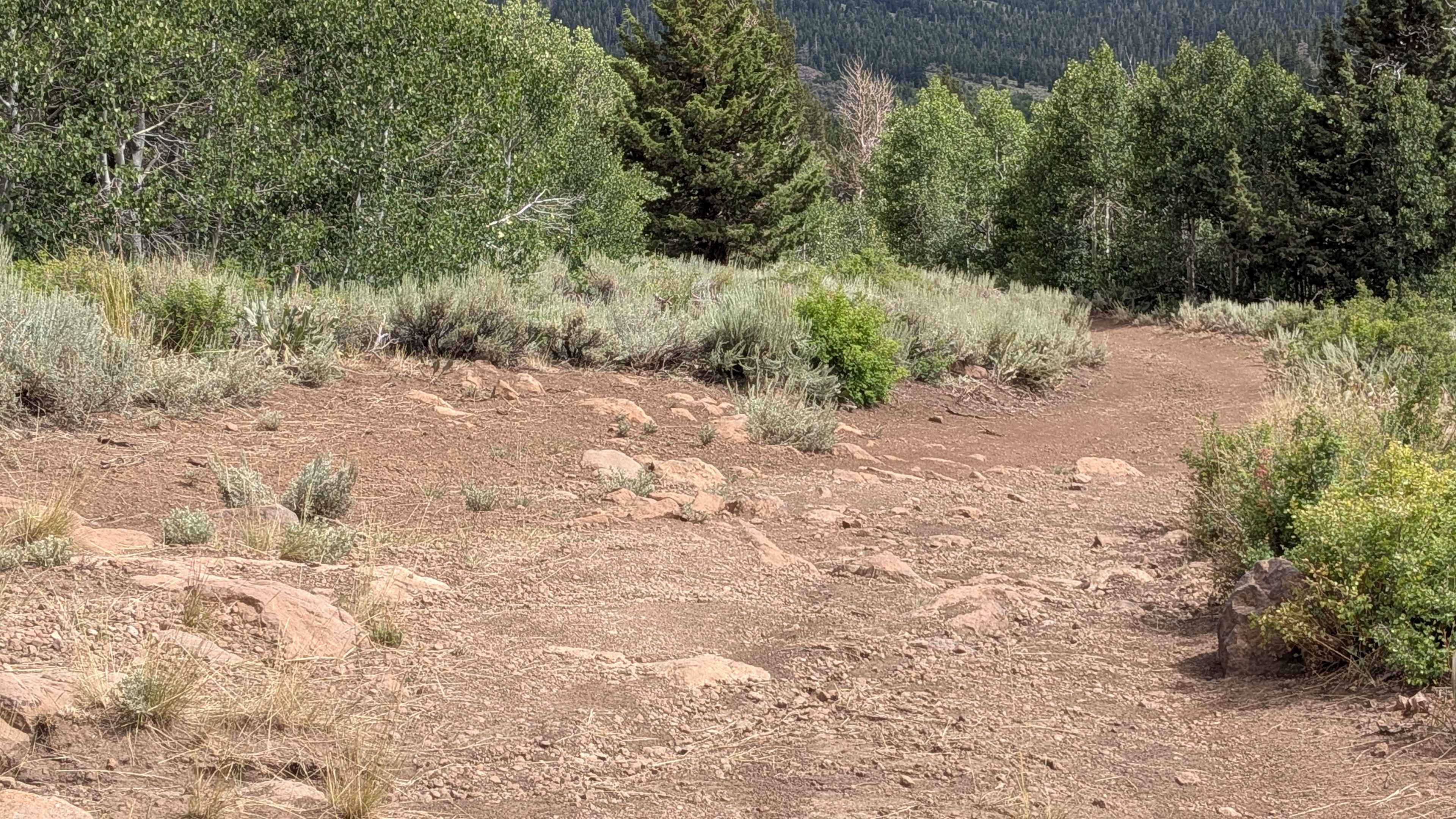
Heenan Spring Road - FS 31084
Total Miles
0.5
Tech Rating
Easy
Best Time
Summer, Fall
ATV trails in California


UTV/side-by-side trails in California


Learn more about 3N267 Fenner Saddle (4N12)
3N267 Fenner Saddle (4N12)
Total Miles
3.8
Tech Rating
Difficult
Best Time
Spring, Summer, Fall, Winter

The onX Offroad Difference
onX Offroad combines trail photos, descriptions, difficulty ratings, width restrictions, seasonality, and more in a user-friendly interface. Available on all devices, with offline access and full compatibility with CarPlay and Android Auto. Discover what you’re missing today!