Grey Tuff Loop - FS 3S59
Total Miles
3.4
Technical Rating
Best Time
Fall, Summer, Spring
Trail Type
Full-Width Road
Accessible By
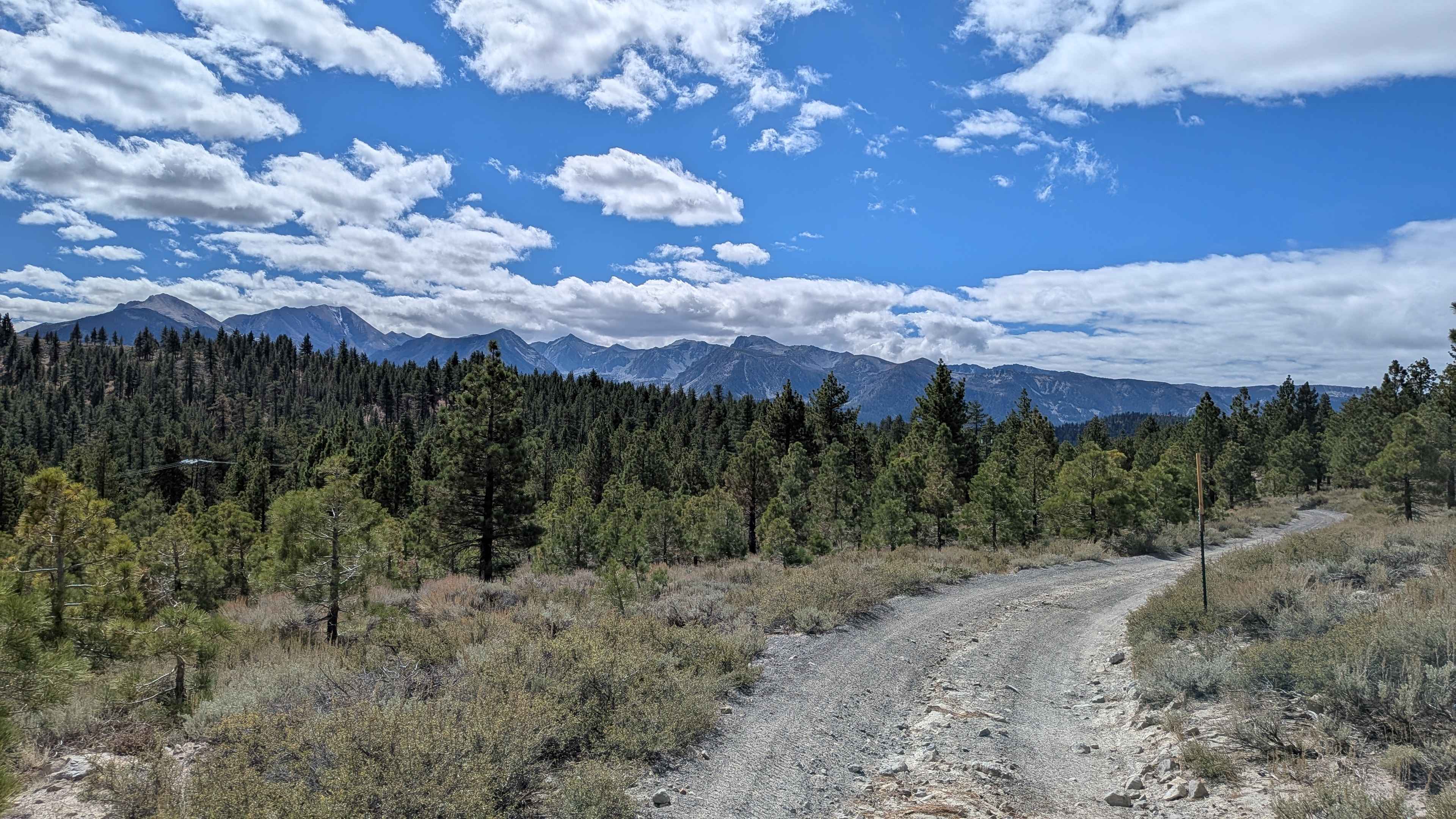
Trail Overview
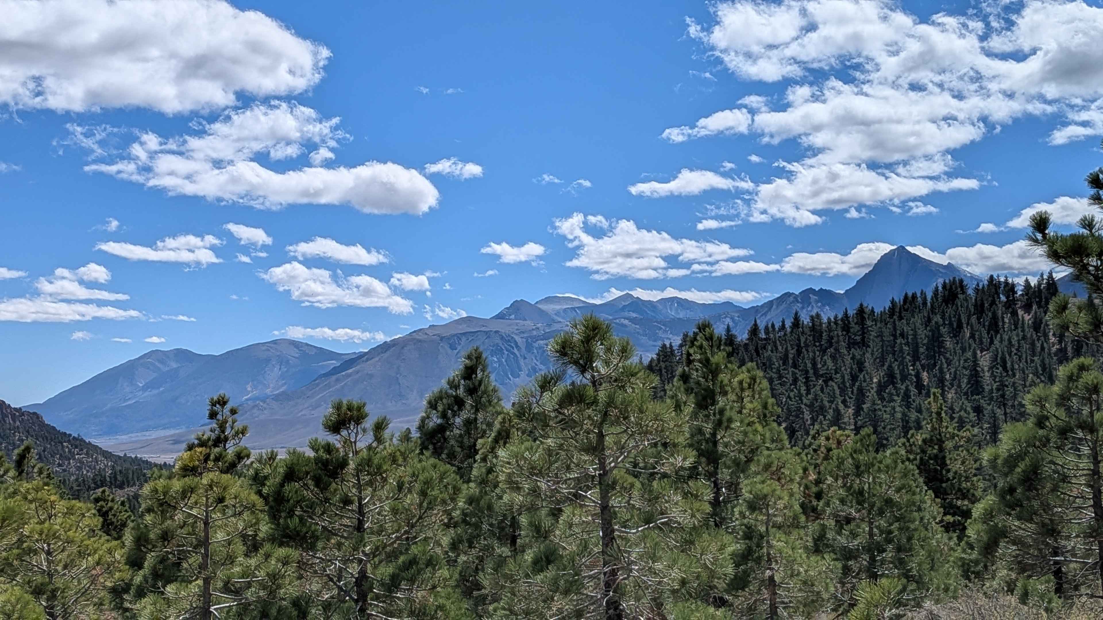
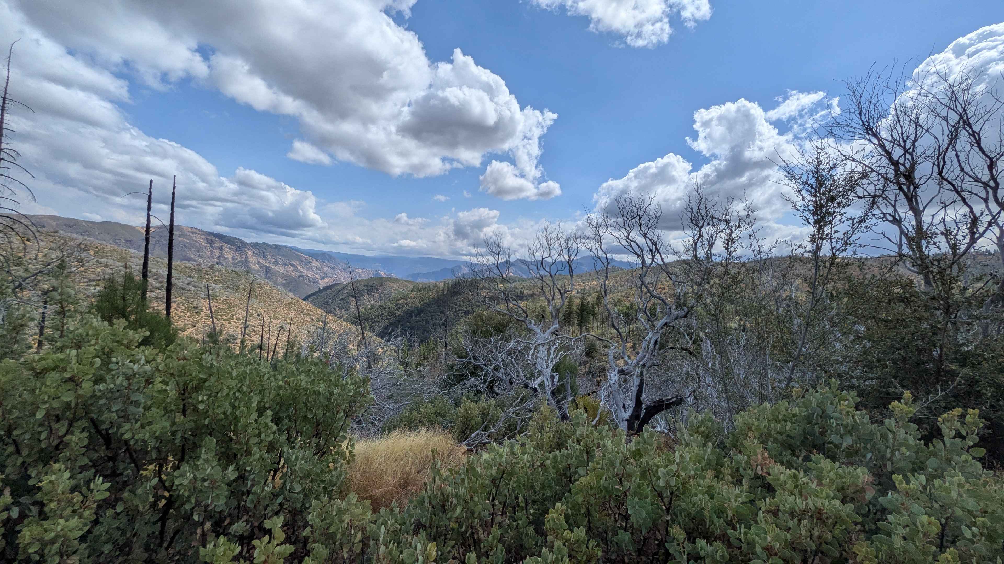
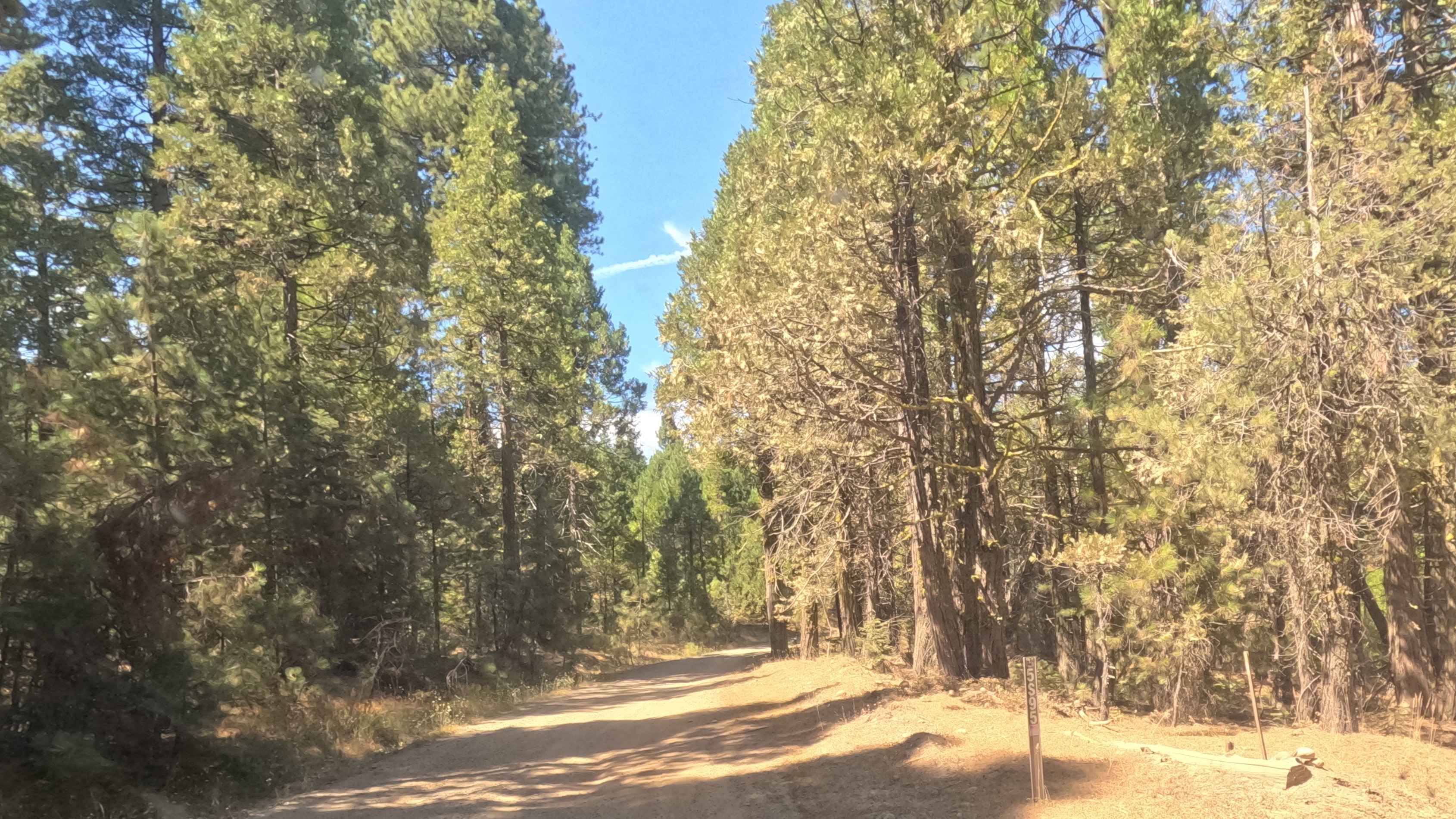
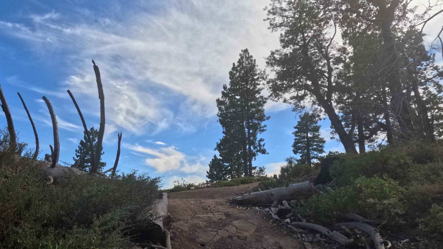
This trail can be accessed from Forest Service Road 3S41 or Antelope Cutoff (FS 3S13) and forms part of the Lookout Loop, with moderate elevation changes that climb 474 feet and drop 247 feet over just over 3 miles. Various spur trails branch off along the route, including Gilbert Ridge, providing additional exploration opportunities and scenic viewpoints in the surrounding area. The trail runs along a shelf road that drops off a few hundred feet as it parallels Highway 395, creating elevated driving with exposure to consider. From the North, there are early views of the Eastern Sierras, including Mammoth Mountain, which are partially blocked by trees along this section but still provide an impressive mountain backdrop throughout the journey. The trail surface includes some tree roots and ruts caused by water runoff reaching up to 12 inches deep, requiring careful tire placement and attention to line selection. Be particularly cautious of some deep ruts caused by berms from other trails that this route crosses, where intersections create sudden depth changes and obstacles. Some sections feature deeper sand that can grab tires and require momentum management. While 4x4 and high clearance are not strictly required if you have good tires, they are recommended for navigating the deeper ruts and sandy sections comfortably and safely. At mile 2, you're rewarded with an excellent view of the Eastern Sierras as the tree coverage opens. After this viewpoint, the trail becomes windier with a few larger rocks and deeper ruts appearing, though nothing exceeds 12 inches in depth. After mile 3.2, you'll encounter a couple of patches of obsidian rock embedded in the trail surface, adding unique geological interest to the final section and requiring attention to avoid sharp edges.
Photos of Grey Tuff Loop - FS 3S59
Difficulty
This trail has an easy difficulty rating (2) based on the shelf road section with several hundred feet of drop-off, ruts up to 12 inches deep from water runoff and trail intersections, tree roots creating obstacles, sections of deeper sand, windier sections with larger rocks after mile 2, and obsidian rock patches near the end. The primary challenges include managing deep ruts and berms at trail crossings safely, navigating the exposed shelf road confidently, handling deeper sand sections without losing momentum, and picking lines around tree roots and larger rocks, though the recommendation rather than requirement for 4x4 and high clearance with good tires keeps this accessible.
Status Reports
Grey Tuff Loop - FS 3S59 can be accessed by the following ride types:
- High-Clearance 4x4
- SUV
- SxS (60")
- ATV (50")
- Dirt Bike
Grey Tuff Loop - FS 3S59 Map
Popular Trails
Ferguson Gulch - FS 3S023
Speckerman Fuel Break - FS 5S095

Ten Mile Grade C Spur - FS 4S004C
The onX Offroad Difference
onX Offroad combines trail photos, descriptions, difficulty ratings, width restrictions, seasonality, and more in a user-friendly interface. Available on all devices, with offline access and full compatibility with CarPlay and Android Auto. Discover what you’re missing today!