Hauser Geode Beds West
Total Miles
6.1
Technical Rating
Best Time
Spring, Fall
Trail Type
High-Clearance 4x4 Trail
Accessible By
Trail Overview
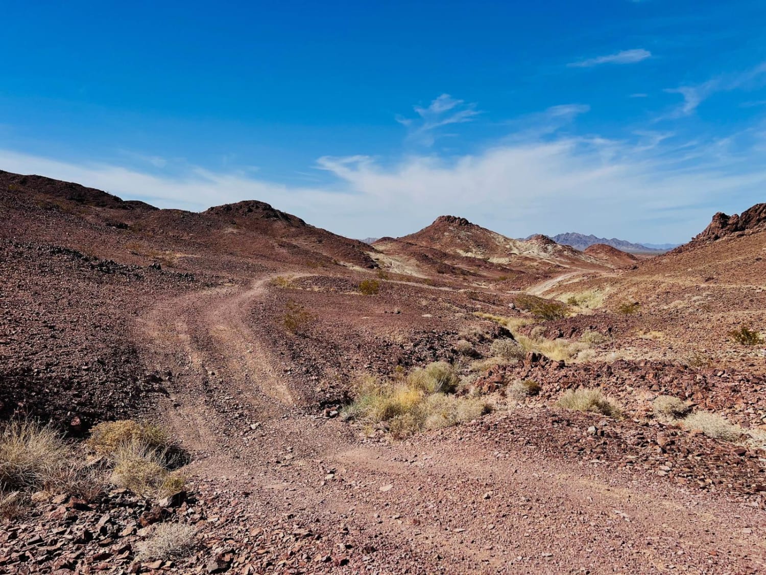
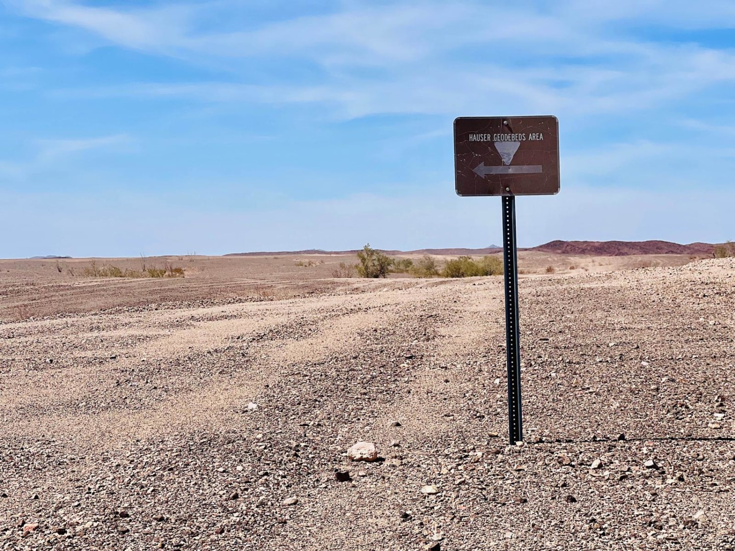
This is one of the ways out to the Hauser geode beds. The Geode beds are located on BLM and collection of the rocks is allowed. Explore, dig some holes, and find your own rocks to crack open. The lower section of this trail to the main digging sites of the Hauser Geode beds is the most accessible and can be driven with a standard 4x4. The trail continues past a couple of campsites, at the geode beds, and heads into a canyon. However, a high-clearance 4x4 with a locker would be recommended to complete this loop. The trail terrain gets very rocky with steep transitions. Inside the canon are even more opportunities to geode hunt. Bring a shovel and expect to spend some time if you want to find the good stuff. Be on the lookout for the private property "no rock collecting" signs as you enter the canyon along this trail. Beyond the signs is California Conservancy Land, and there is no geode collecting there. Some of the most technical driving sections are through the private property, with one particularly steep technical articulation section into a small ravine. On the BLM land, there are many great spots to camp and stay a few nights. Most have established fire rings and flat areas. The rest of the main route is very scenic, with long desert expanses and jagged mountains. Plan to bring lots of water. Cell service is in and out, but generally, there is a bar of Verizon LTE at the top of the hills if needed.
Photos of Hauser Geode Beds West
Difficulty
There is one particularly steep section of the trail with technical articulation. It drops down into a small ravine. Other sections of the trail are steep with loose and sharp rocks.
Status Reports
Hauser Geode Beds West can be accessed by the following ride types:
- High-Clearance 4x4
- SxS (60")
- ATV (50")
- Dirt Bike
Hauser Geode Beds West Map
Popular Trails
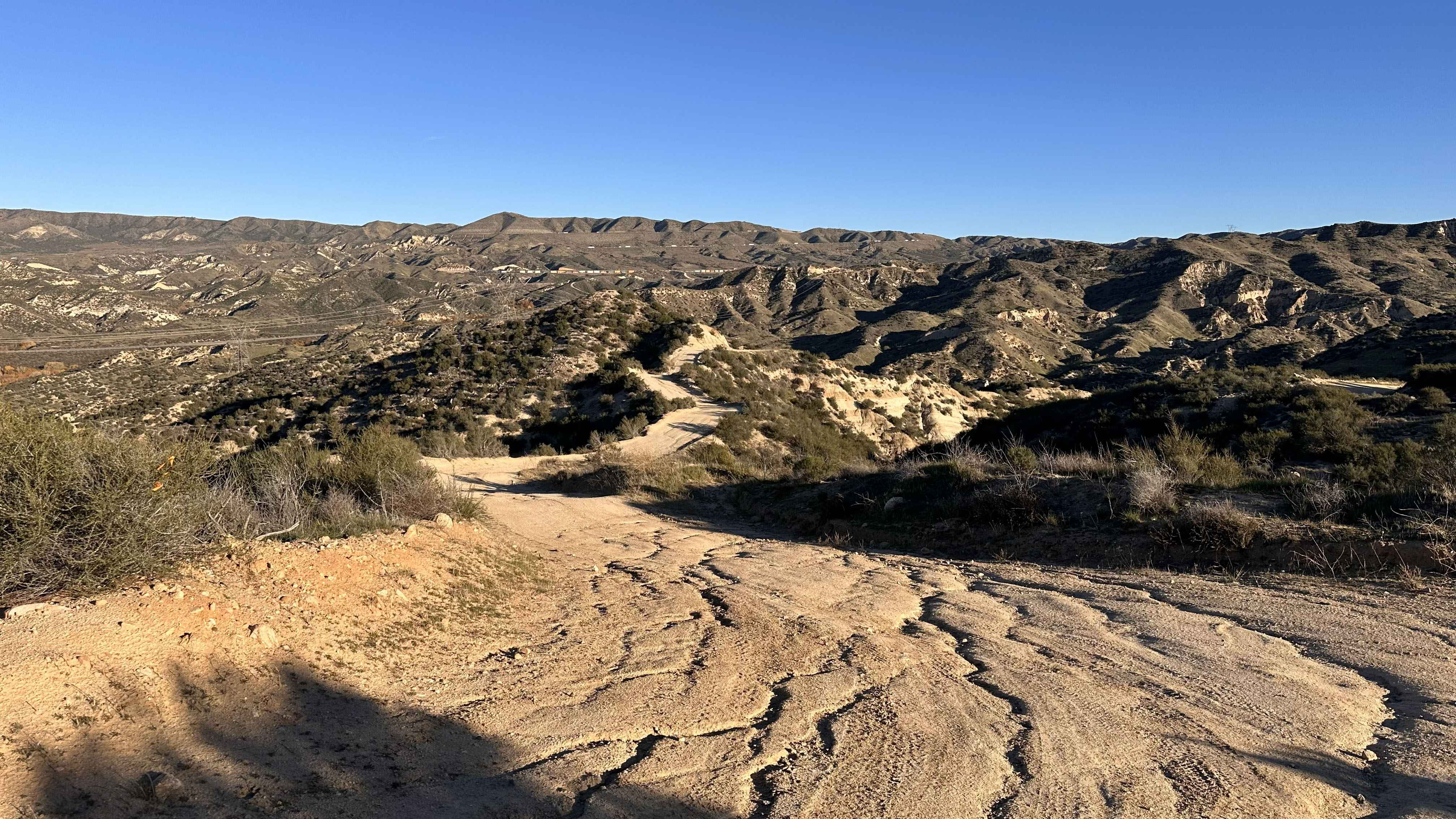
Cleghorn CA-15 Overlook

Mitchell Canyon Long Valley
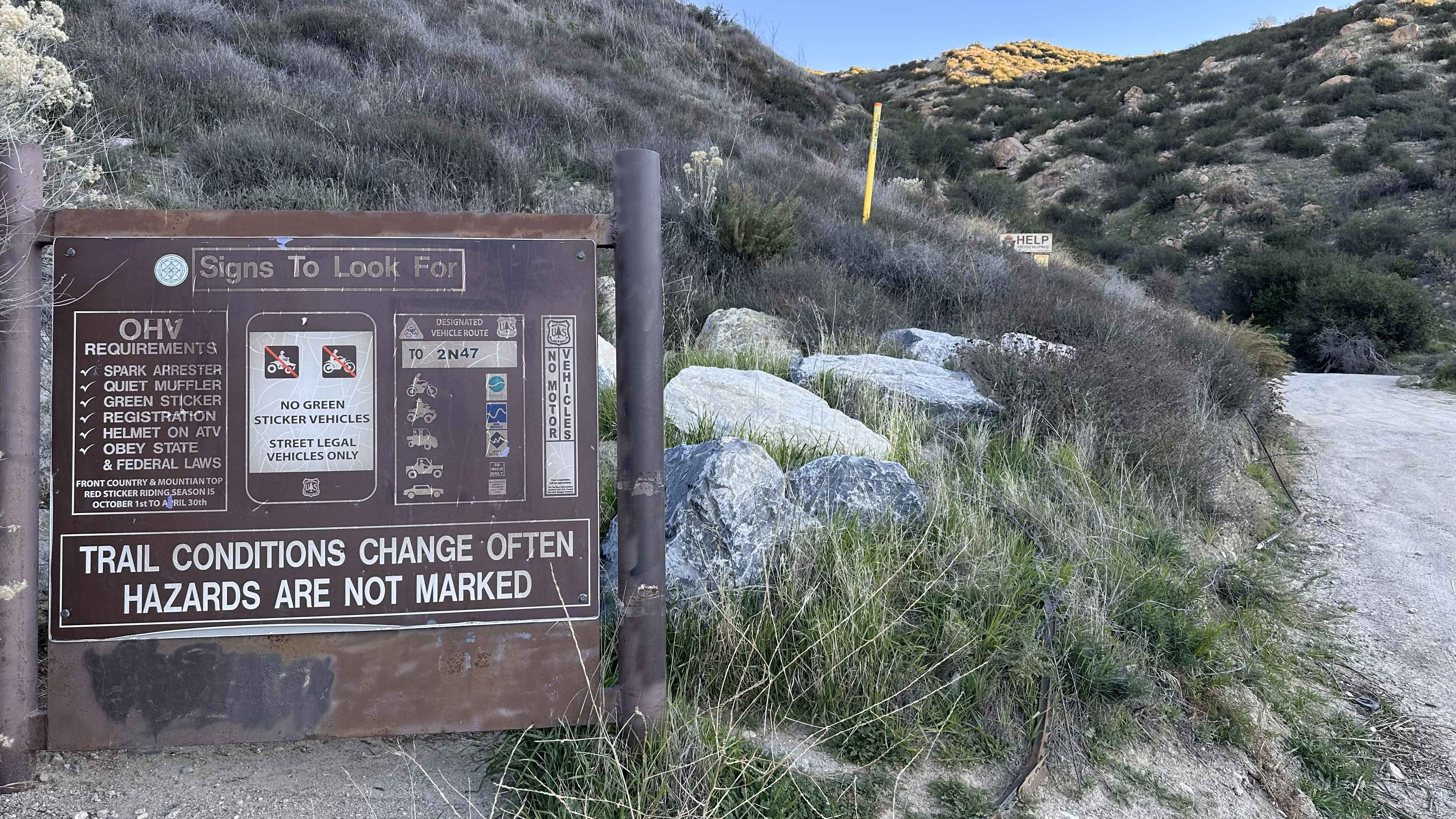
Cleghorn Ridge Entry
The onX Offroad Difference
onX Offroad combines trail photos, descriptions, difficulty ratings, width restrictions, seasonality, and more in a user-friendly interface. Available on all devices, with offline access and full compatibility with CarPlay and Android Auto. Discover what you’re missing today!
