Off-Road Trails in California
Discover off-road trails in California
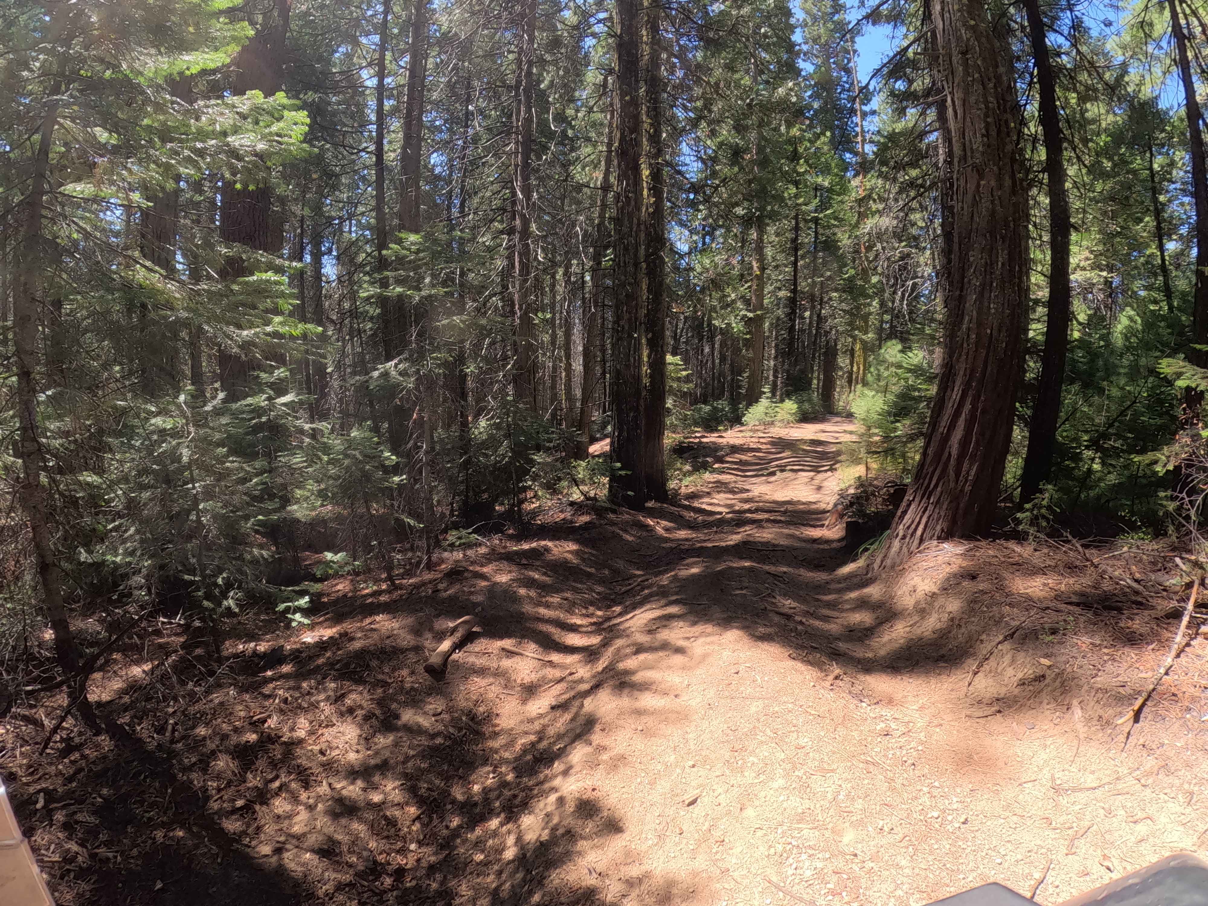
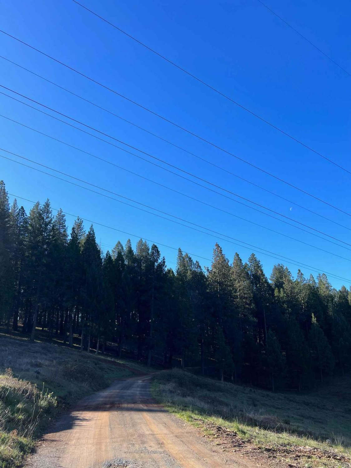
Learn more about Indiana Summit - FS 1S47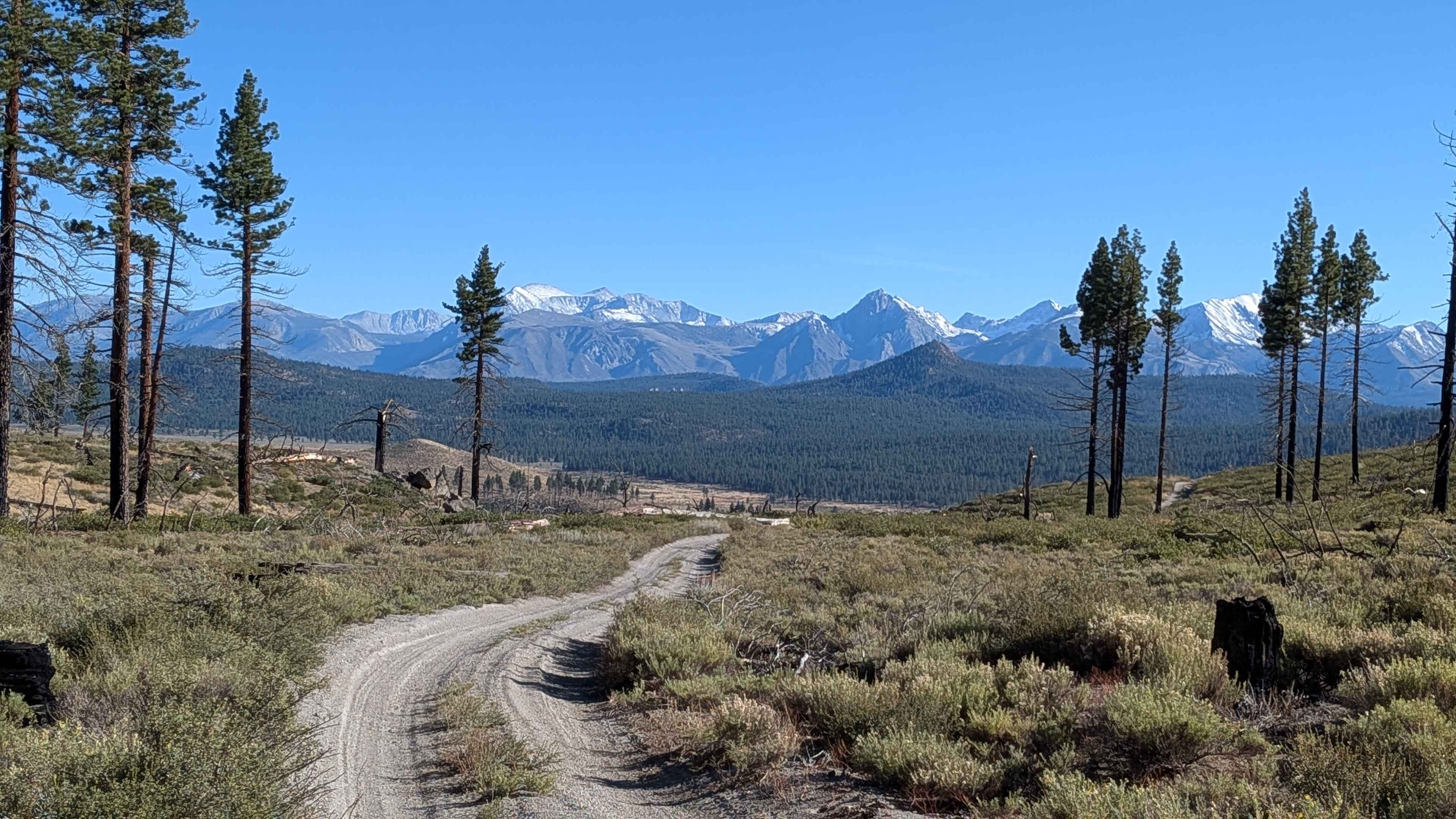
Indiana Summit - FS 1S47
Total Miles
4.9
Tech Rating
Easy
Best Time
Fall, Summer
Learn more about Inspiration Wash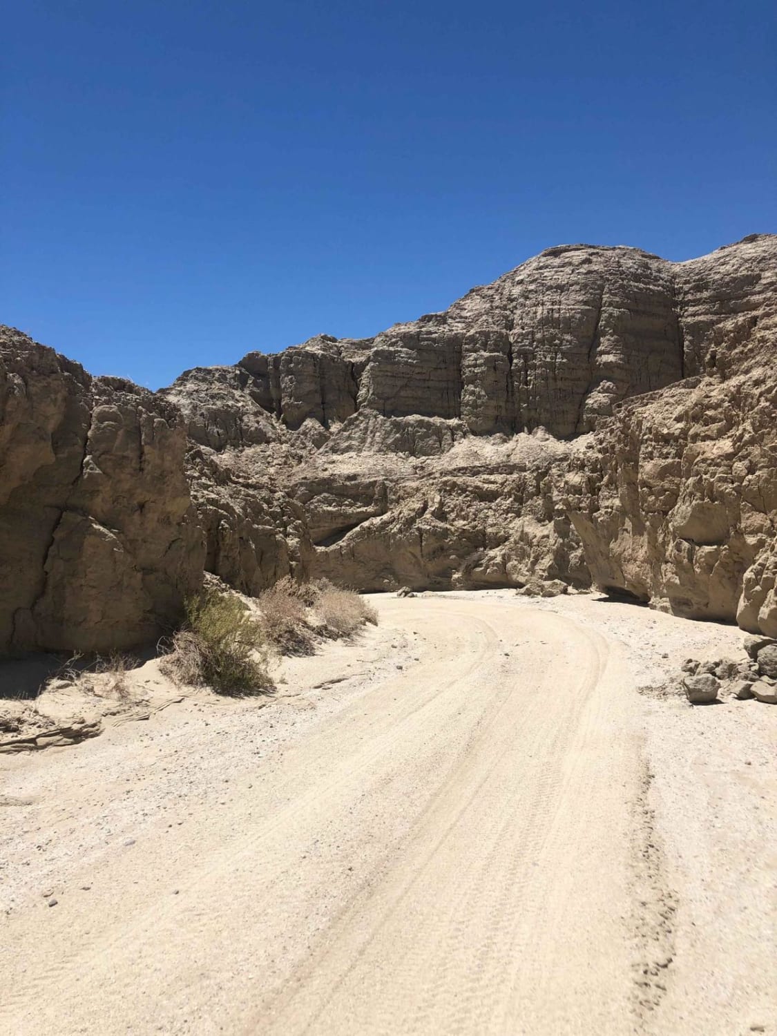
Inspiration Wash
Total Miles
8.2
Tech Rating
Moderate
Best Time
Spring, Fall
Learn more about Inspiration Wash Road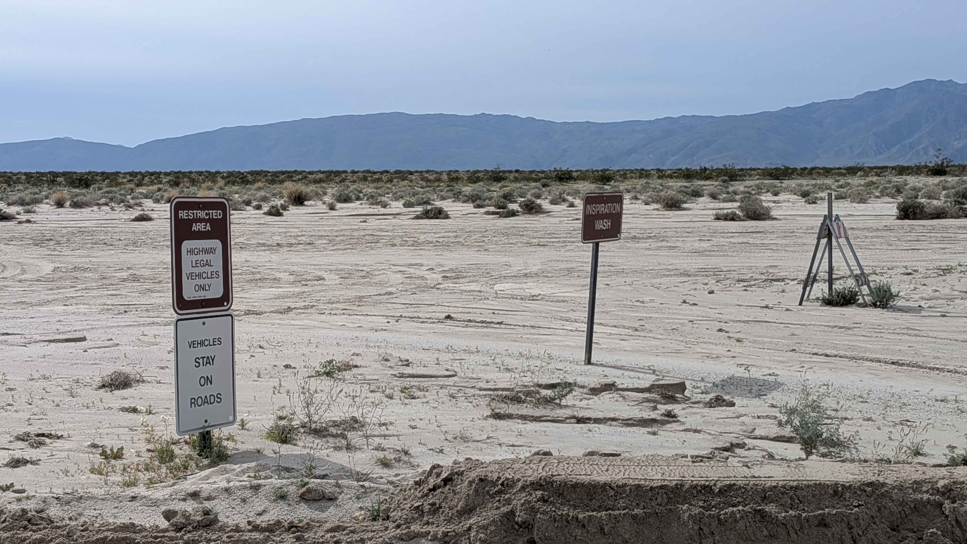
Inspiration Wash Road
Total Miles
3.0
Tech Rating
Easy
Best Time
Winter, Fall, Spring
Learn more about Intermediate Hill Climb to Whoops Section
Intermediate Hill Climb to Whoops Section
Total Miles
2.9
Tech Rating
Moderate
Best Time
Winter, Fall, Spring
Learn more about Inyo Crater Road
Inyo Crater Road
Total Miles
1.3
Tech Rating
Easy
Best Time
Spring, Summer, Fall
Learn more about Inyo crater via Dry Creek Spur
Inyo crater via Dry Creek Spur
Total Miles
2.5
Tech Rating
Easy
Best Time
Spring, Summer, Fall
Learn more about Inyo National FS3S15
Inyo National FS3S15
Total Miles
4.1
Tech Rating
Easy
Best Time
Spring, Summer, Fall
Learn more about Iron Canyon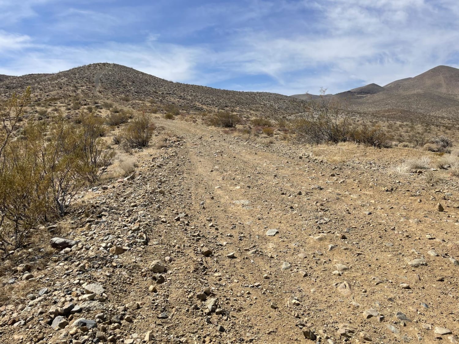
Iron Canyon
Total Miles
6.1
Tech Rating
Moderate
Best Time
Spring, Fall, Winter
Learn more about Iron Canyon EP21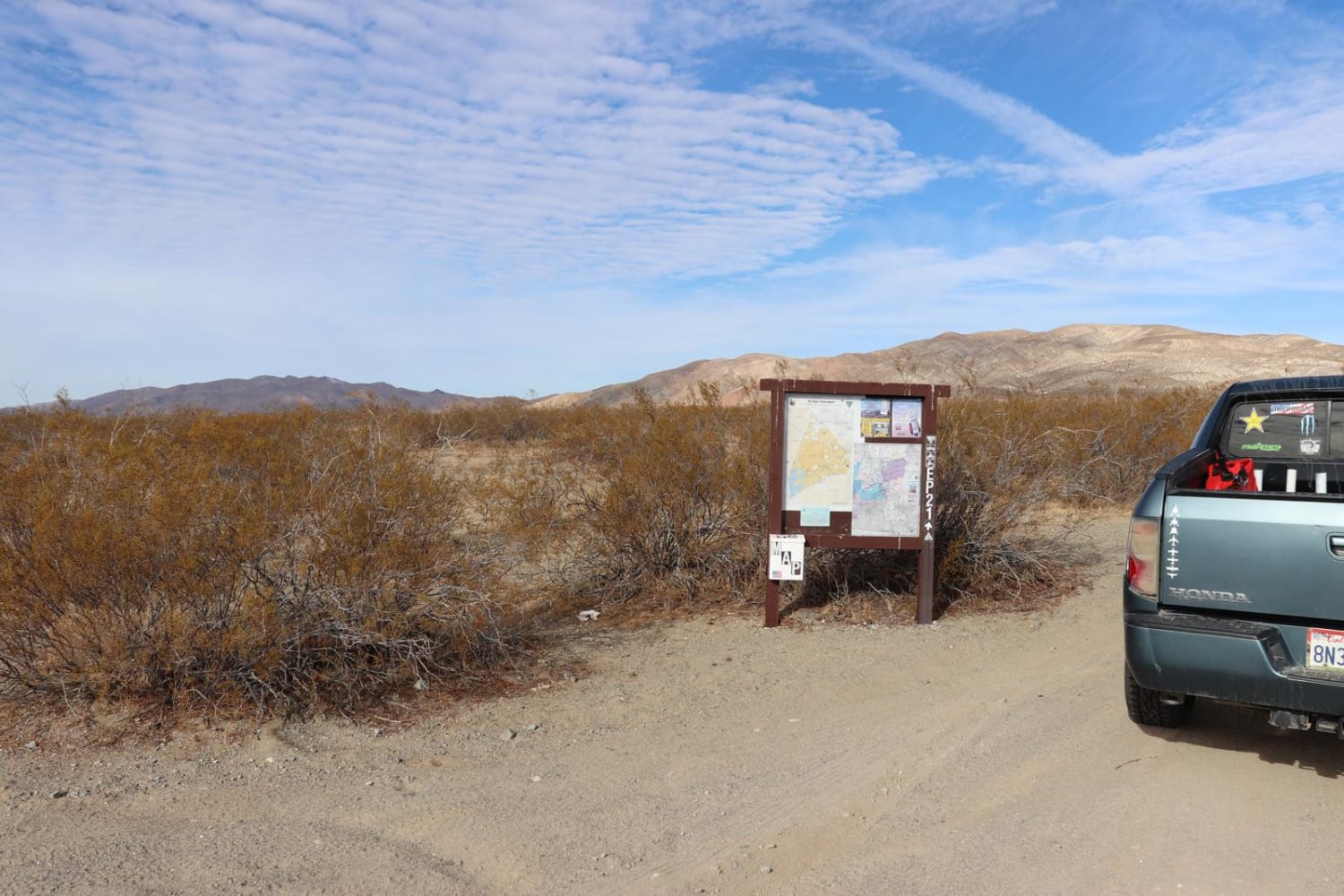
Iron Canyon EP21
Total Miles
15.1
Tech Rating
Easy
Best Time
Spring, Fall, Winter
Learn more about Iron Canyon Scenic Trail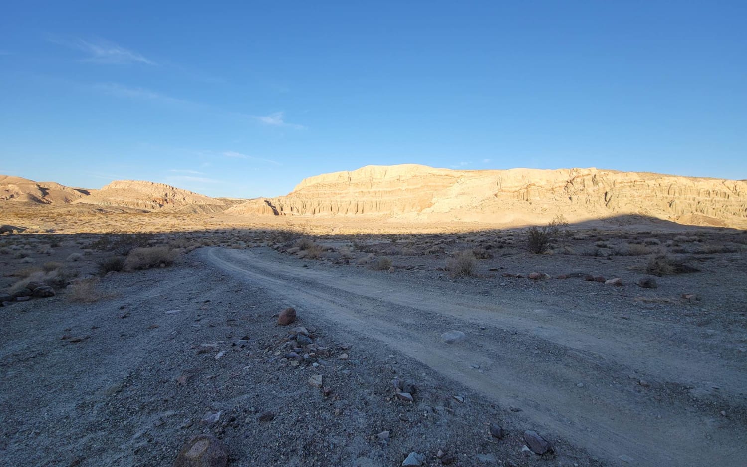
Iron Canyon Scenic Trail
Total Miles
3.2
Tech Rating
Easy
Best Time
Spring, Fall, Winter
Learn more about Iron Mesa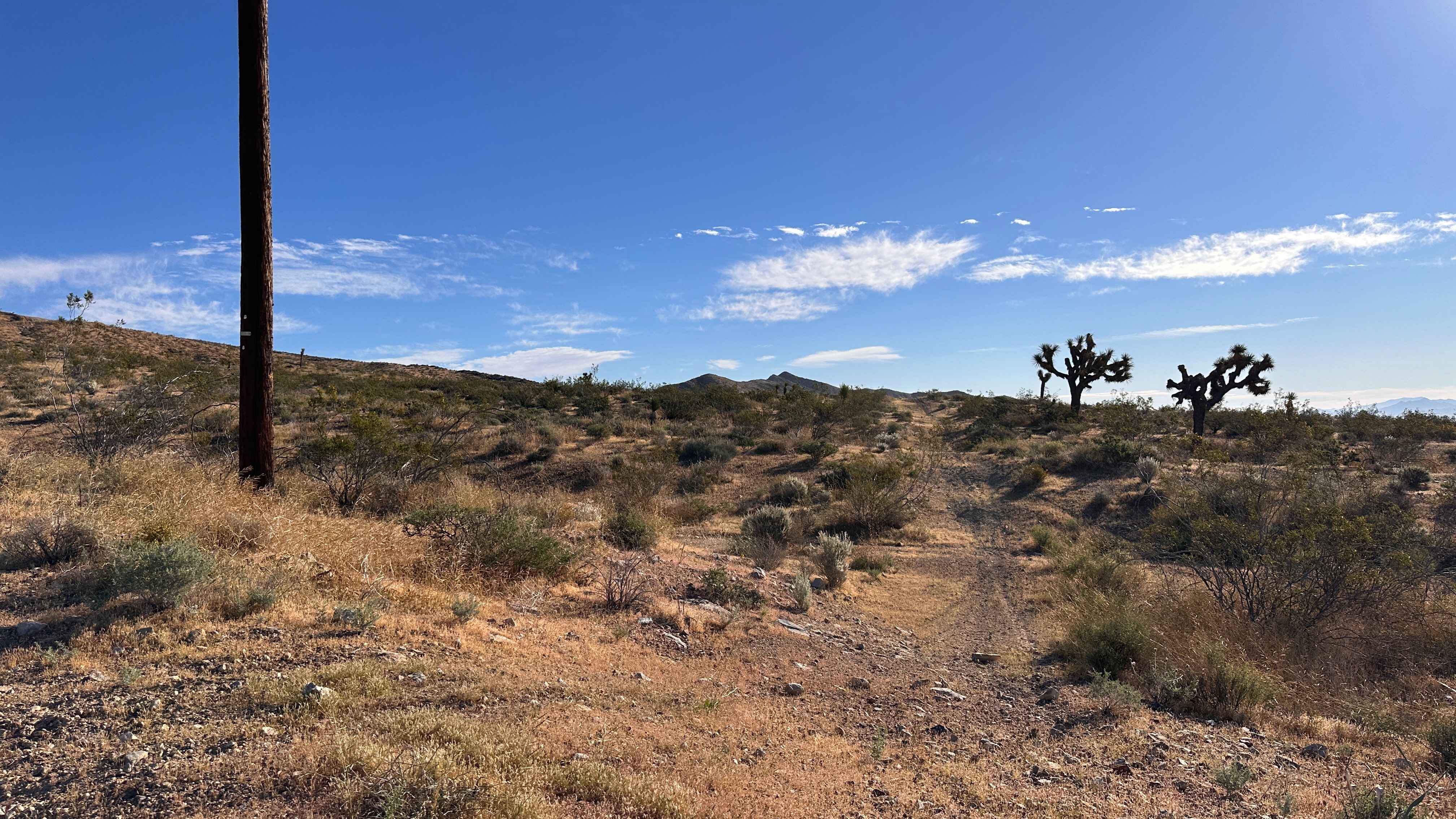
Iron Mesa
Total Miles
0.9
Tech Rating
Moderate
Best Time
Summer, Fall, Winter, Spring
Learn more about Iron Mountain - FS 5S092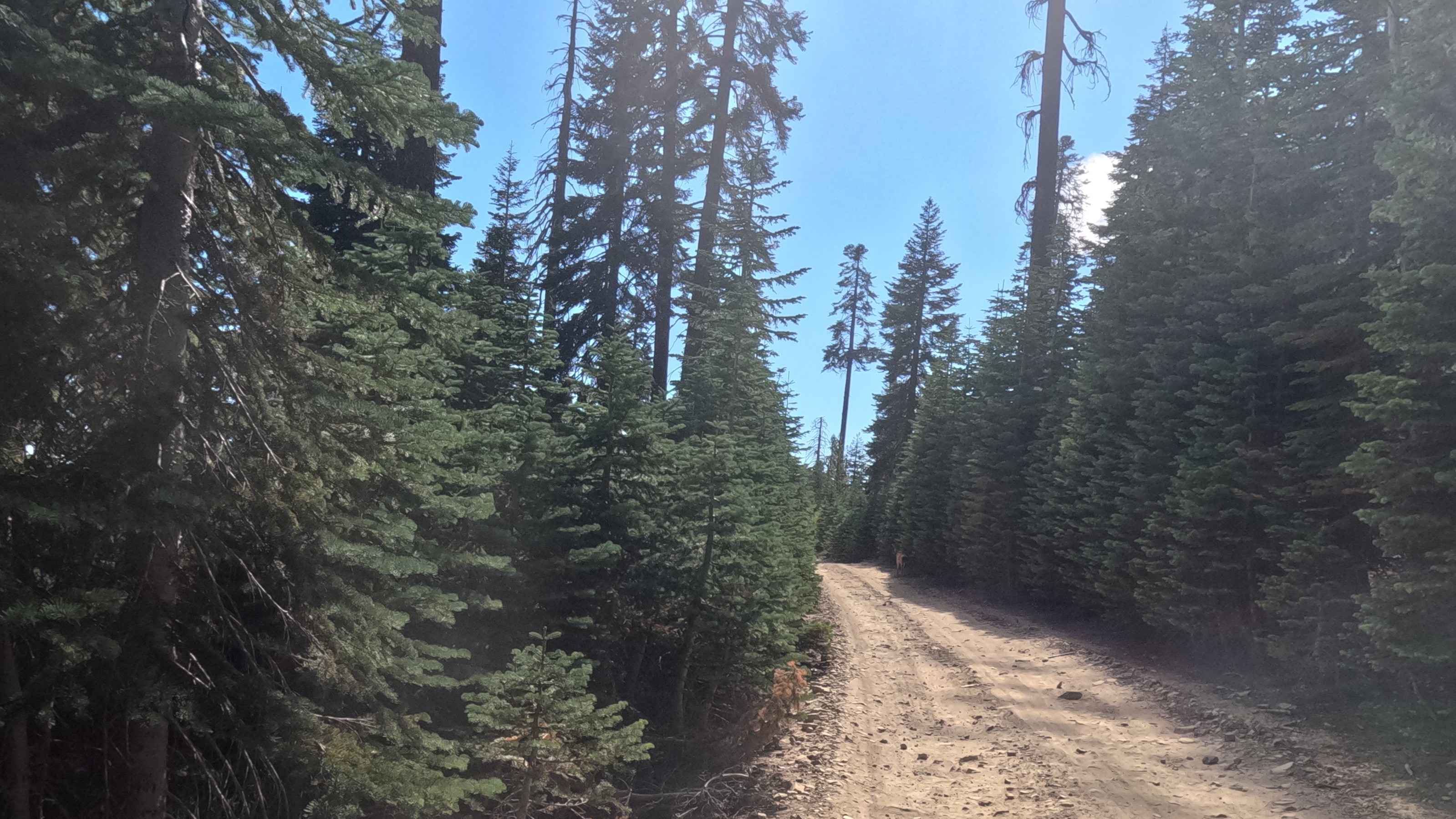
Iron Mountain - FS 5S092
Total Miles
3.7
Tech Rating
Easy
Best Time
Summer, Fall
Learn more about Isham Canyon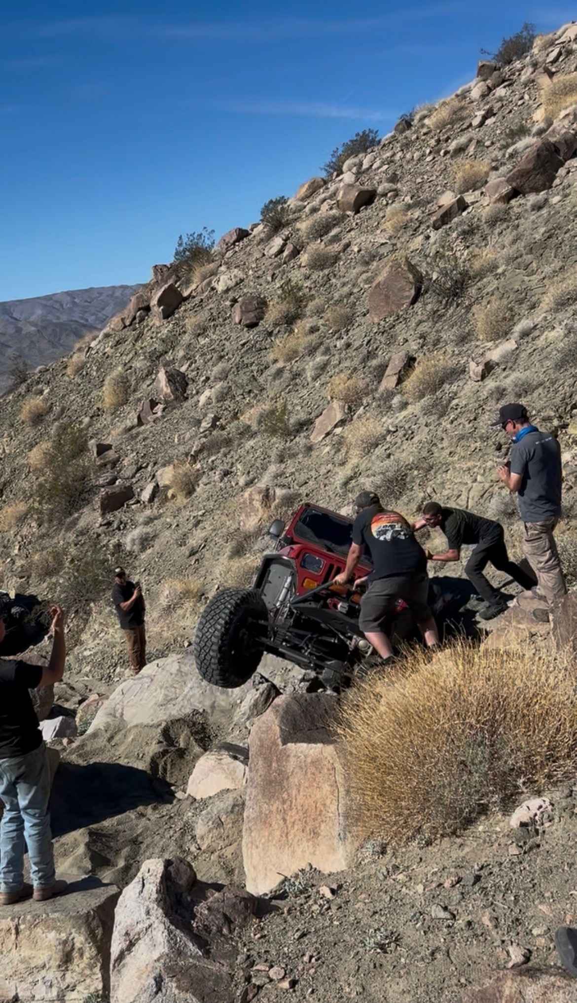
Isham Canyon
Total Miles
3.2
Tech Rating
Difficult
Best Time
Spring, Fall, Winter
Learn more about Ivanpah Cima Road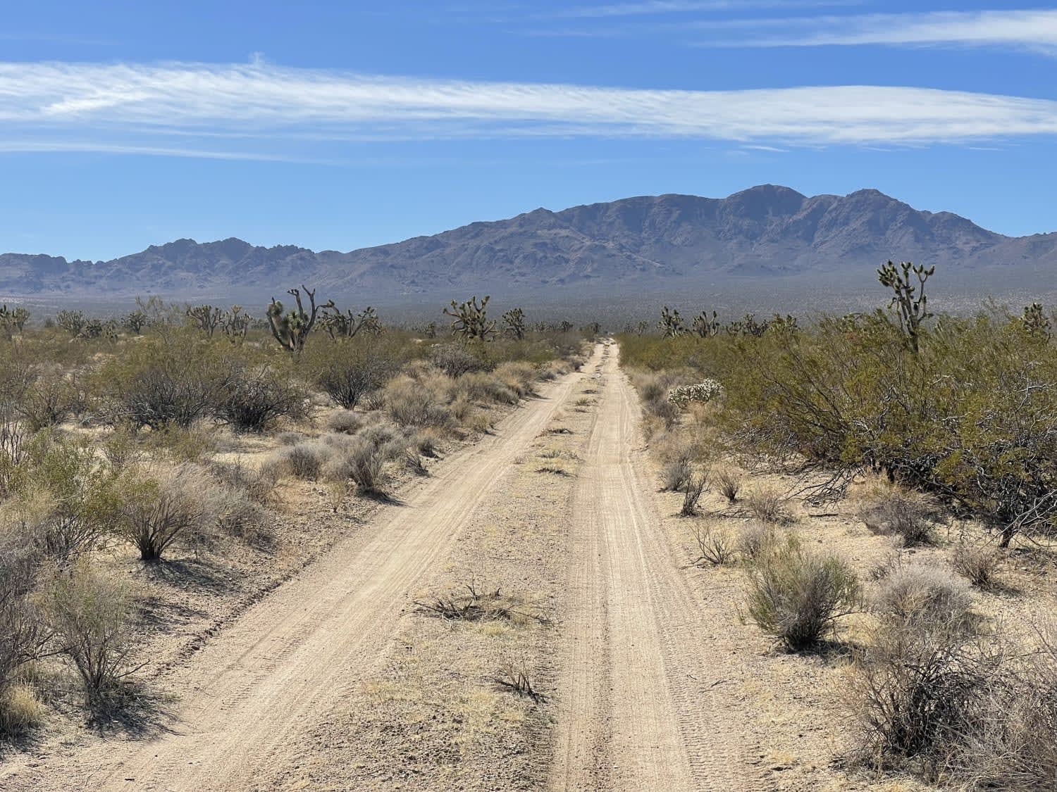
Ivanpah Cima Road
Total Miles
8.4
Tech Rating
Moderate
Best Time
Winter, Fall, Spring
Learn more about Ivanpah Valley High Voltage Line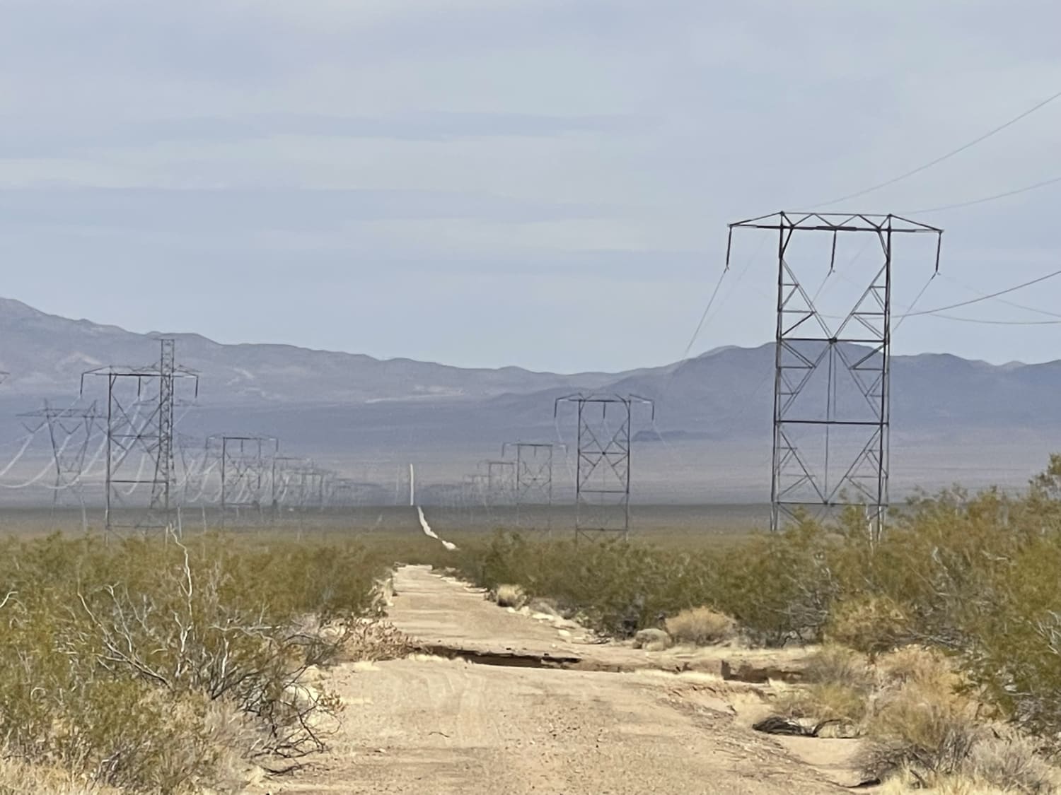
Ivanpah Valley High Voltage Line
Total Miles
12.6
Tech Rating
Easy
Best Time
Winter, Fall, Spring
Learn more about Jack North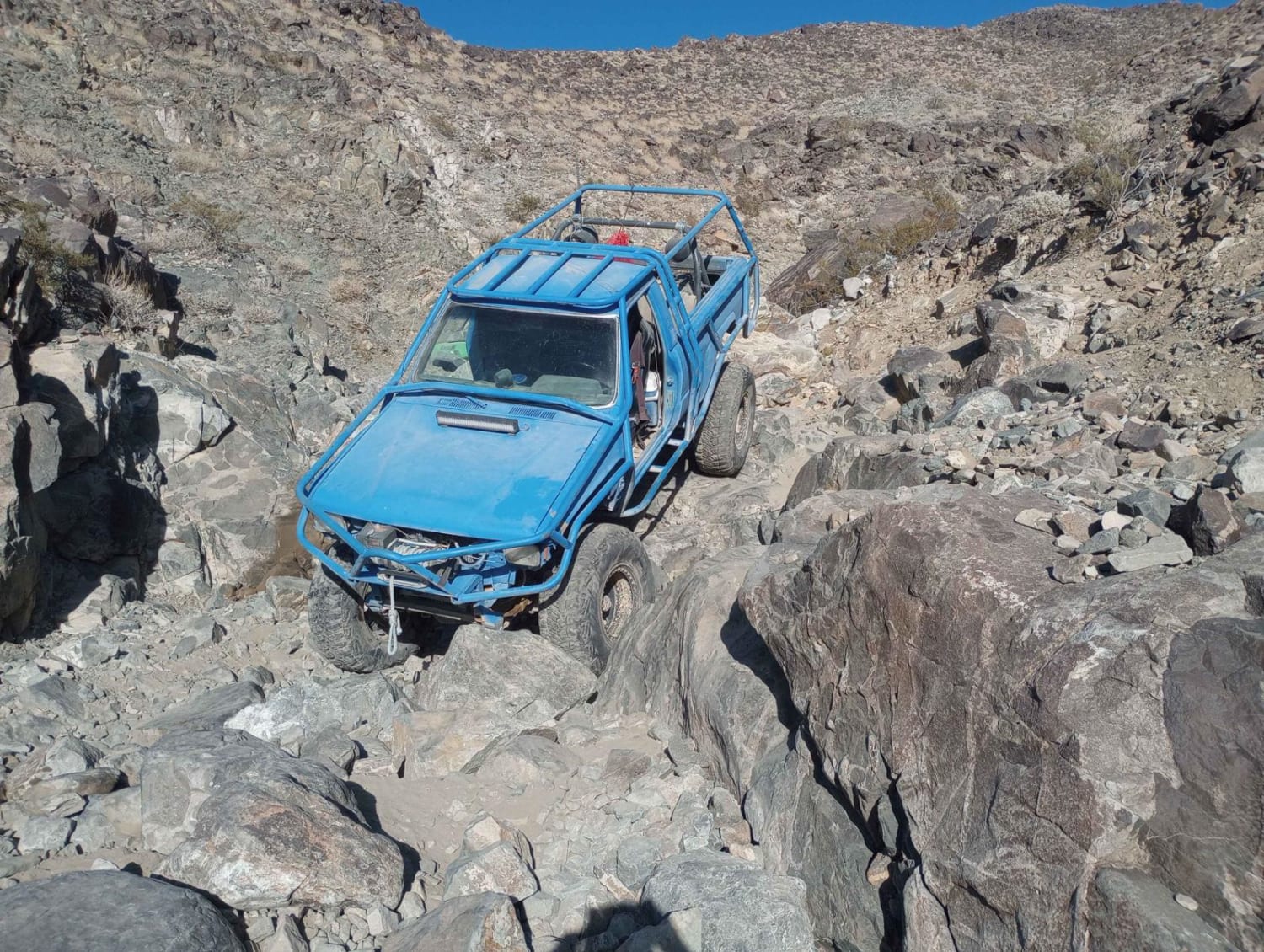
Jack North
Total Miles
0.7
Tech Rating
Difficult
Best Time
Winter, Fall, Spring, Summer
ATV trails in California


UTV/side-by-side trails in California


Learn more about 3N267 Fenner Saddle (4N12)
3N267 Fenner Saddle (4N12)
Total Miles
3.8
Tech Rating
Difficult
Best Time
Spring, Summer, Fall, Winter

The onX Offroad Difference
onX Offroad combines trail photos, descriptions, difficulty ratings, width restrictions, seasonality, and more in a user-friendly interface. Available on all devices, with offline access and full compatibility with CarPlay and Android Auto. Discover what you’re missing today!