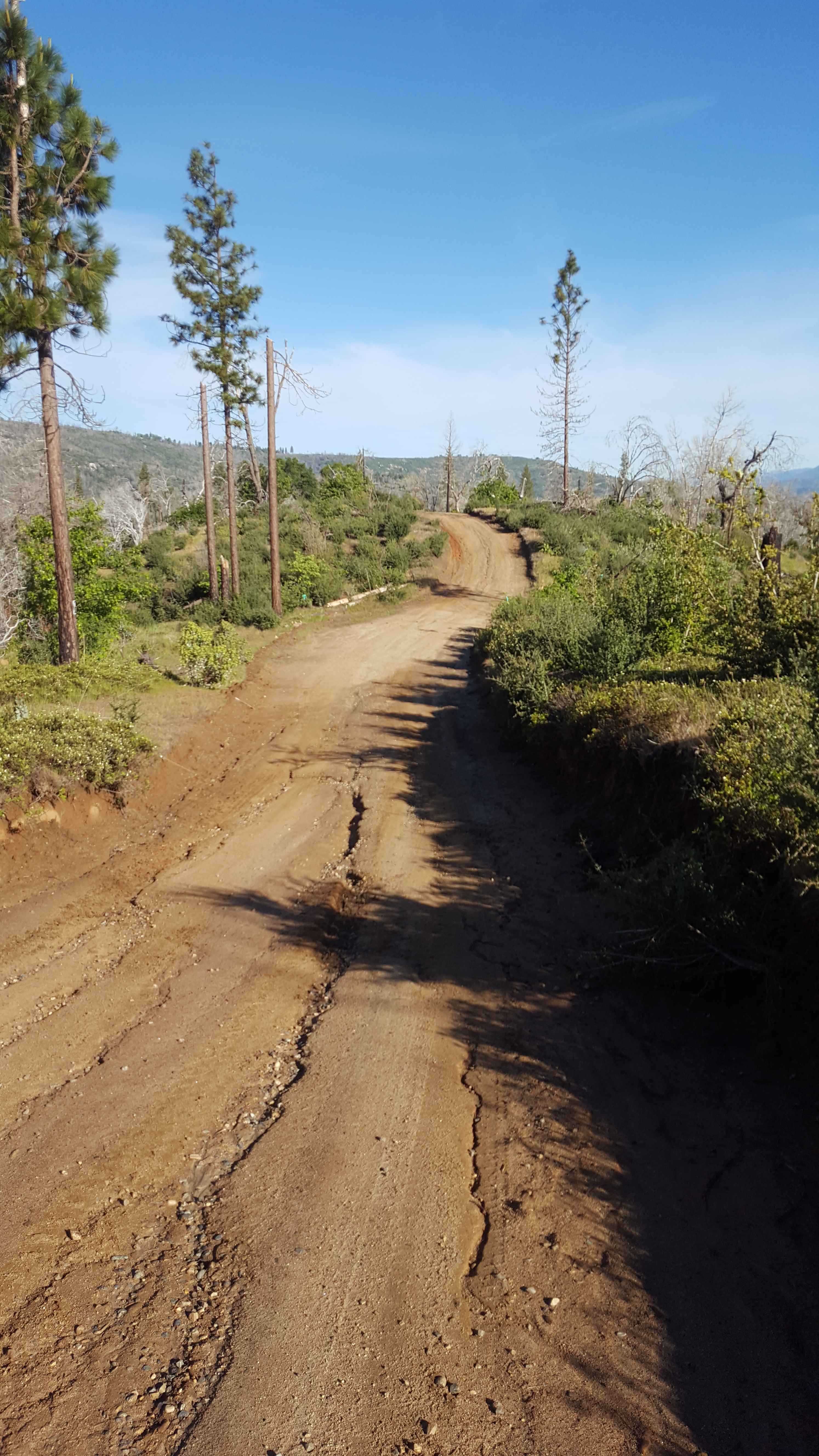
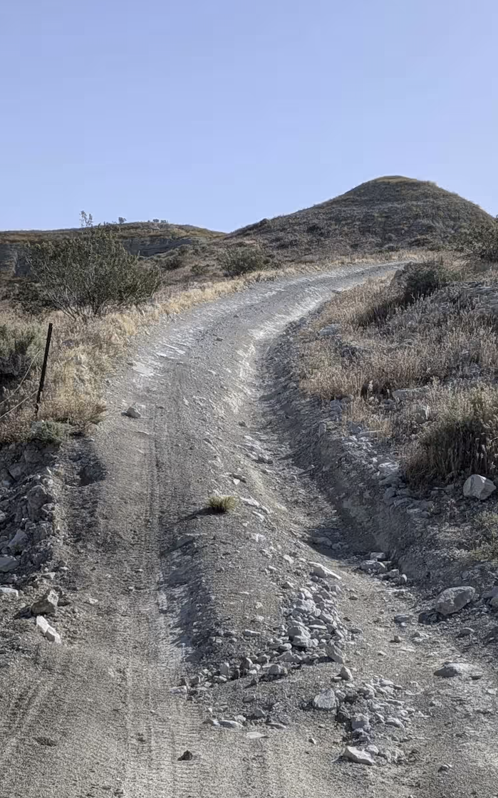
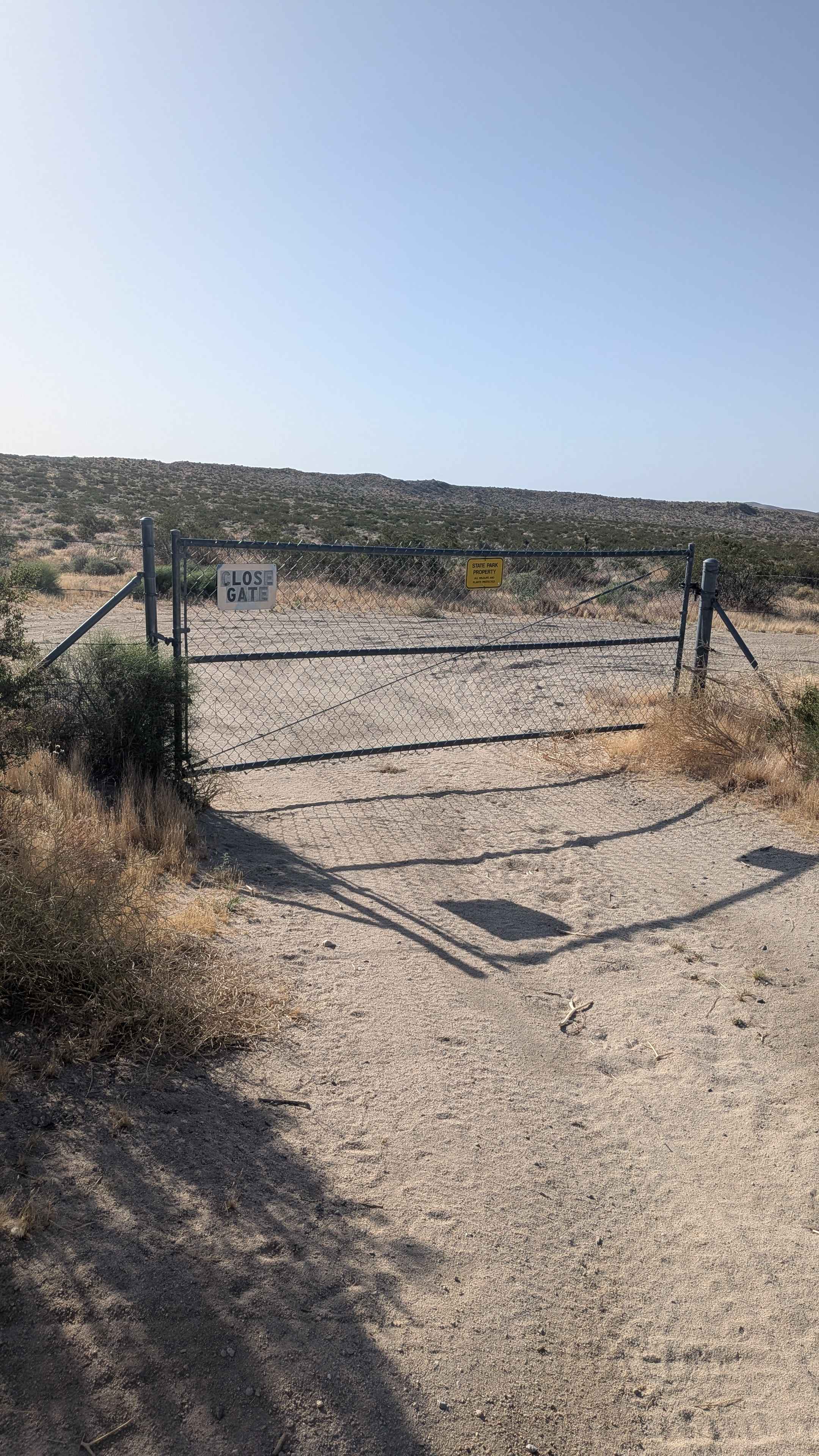
Off-Road Trails in California
Discover off-road trails in California
Learn more about JT Sand Hole
JT Sand Hole
Total Miles
0.5
Tech Rating
Moderate
Best Time
Spring, Summer, Fall, Winter
Learn more about Juan Diego Flat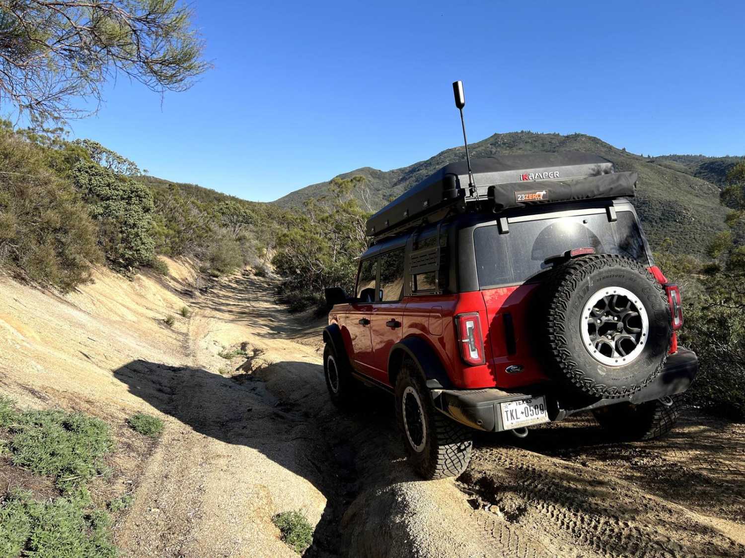
Juan Diego Flat
Total Miles
6.0
Tech Rating
Moderate
Best Time
Spring, Summer, Fall, Winter
Learn more about June Lake Shortcut - FS 1S32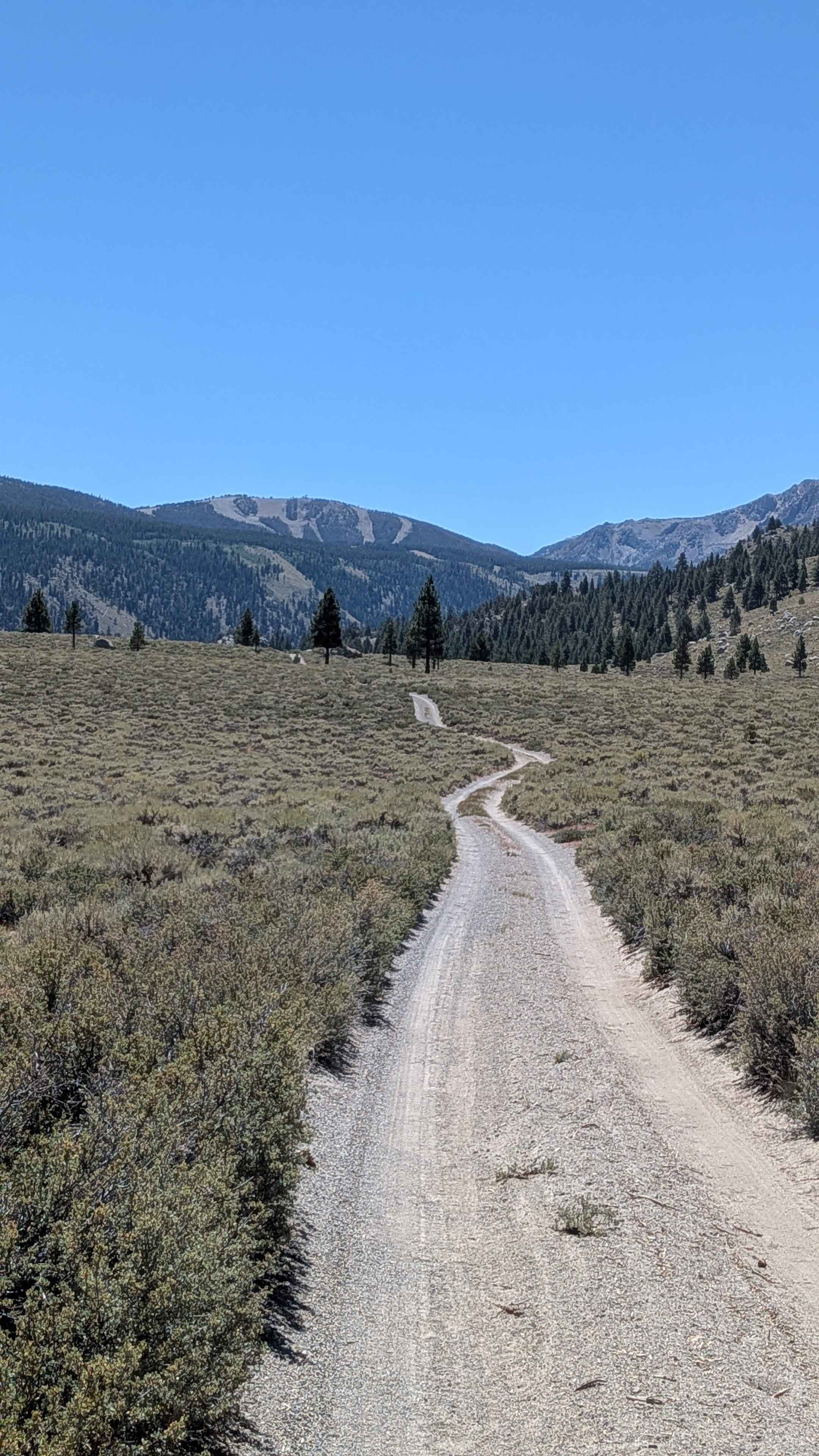
June Lake Shortcut - FS 1S32
Total Miles
2.8
Tech Rating
Easy
Best Time
Summer, Fall

Learn more about Juniper Flats Southern Access
Juniper Flats Southern Access
Total Miles
3.7
Tech Rating
Easy
Best Time
Winter, Fall, Spring
Learn more about Juniper Pass
Juniper Pass
Total Miles
0.7
Tech Rating
Easy
Best Time
Spring, Winter, Fall, Summer
Learn more about JV Landers Lookout
JV Landers Lookout
Total Miles
0.3
Tech Rating
Moderate
Best Time
Summer, Fall, Winter, Spring
Learn more about Kaiser Loop - FS 6S002
Kaiser Loop - FS 6S002
Total Miles
15.4
Tech Rating
Easy
Best Time
Summer, Fall
Learn more about Kaiser Pass Road
Kaiser Pass Road
Total Miles
11.1
Tech Rating
Easy
Best Time
Fall, Summer, Spring
Learn more about Kamook - FS 6S041
Kamook - FS 6S041
Total Miles
3.7
Tech Rating
Easy
Best Time
Spring, Summer, Fall
Learn more about Kates Camp - FS 5S015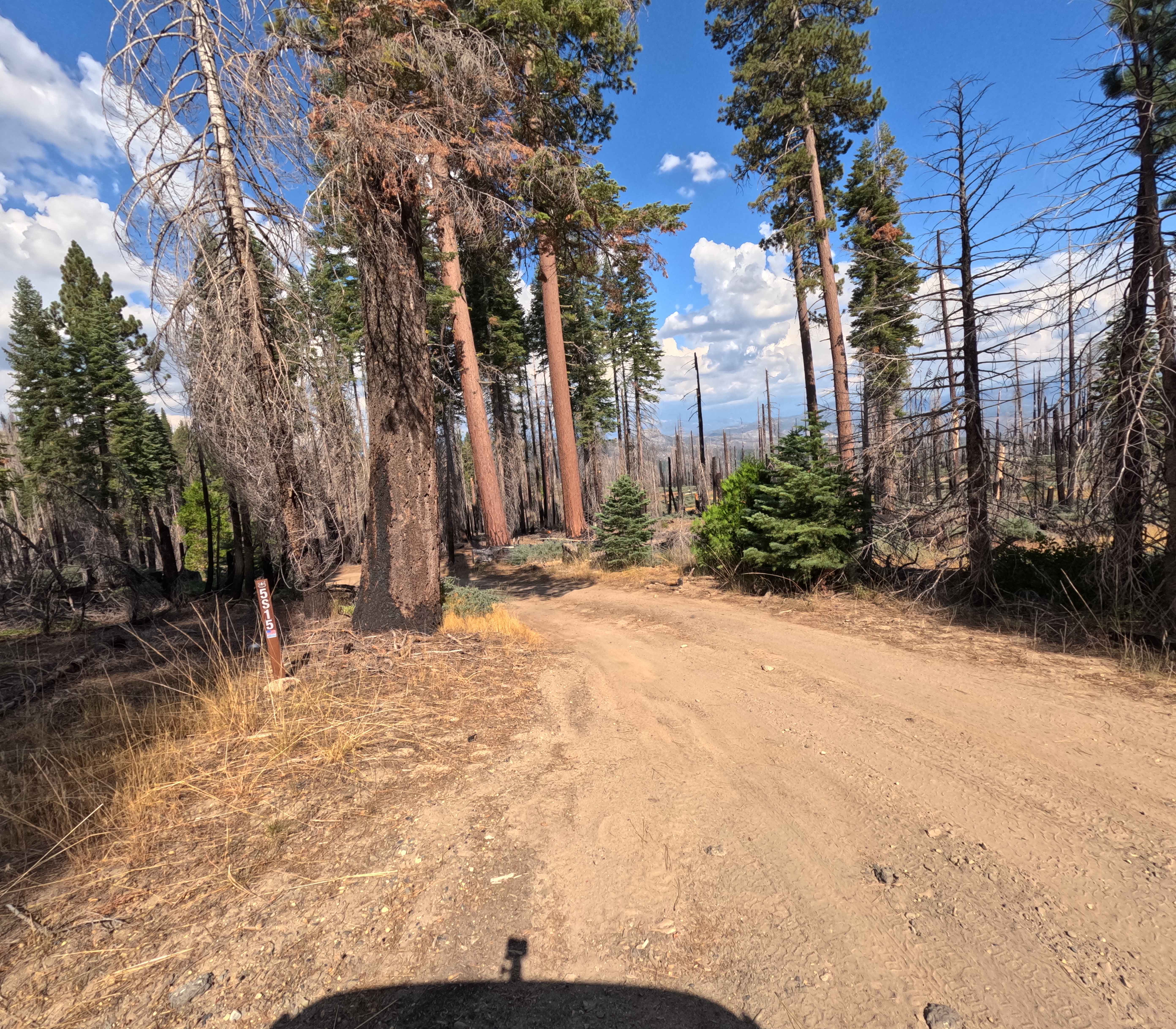
Kates Camp - FS 5S015
Total Miles
4.8
Tech Rating
Easy
Best Time
Summer, Fall
Learn more about Kavanaugh Ridge
Kavanaugh Ridge
Total Miles
2.9
Tech Rating
Moderate
Best Time
Fall, Summer, Spring
Learn more about Kayla's Mountain Trail
Kayla's Mountain Trail
Total Miles
0.7
Tech Rating
Moderate
Best Time
Spring, Winter, Fall, Summer

Learn more about Kern Canyon 31E75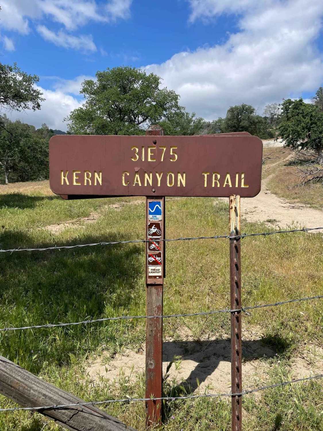
Kern Canyon 31E75
Total Miles
10.8
Tech Rating
Moderate
Best Time
Summer, Fall
ATV trails in California


UTV/side-by-side trails in California


Learn more about 3N267 Fenner Saddle (4N12)
3N267 Fenner Saddle (4N12)
Total Miles
3.8
Tech Rating
Difficult
Best Time
Spring, Summer, Fall, Winter

The onX Offroad Difference
onX Offroad combines trail photos, descriptions, difficulty ratings, width restrictions, seasonality, and more in a user-friendly interface. Available on all devices, with offline access and full compatibility with CarPlay and Android Auto. Discover what you’re missing today!