Kaiser Pass Road
Total Miles
11.1
Technical Rating
Best Time
Fall, Summer, Spring
Trail Type
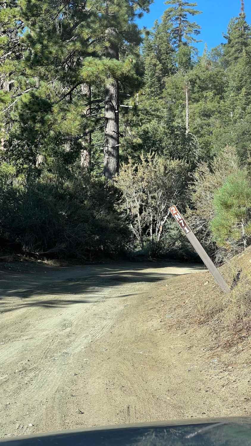
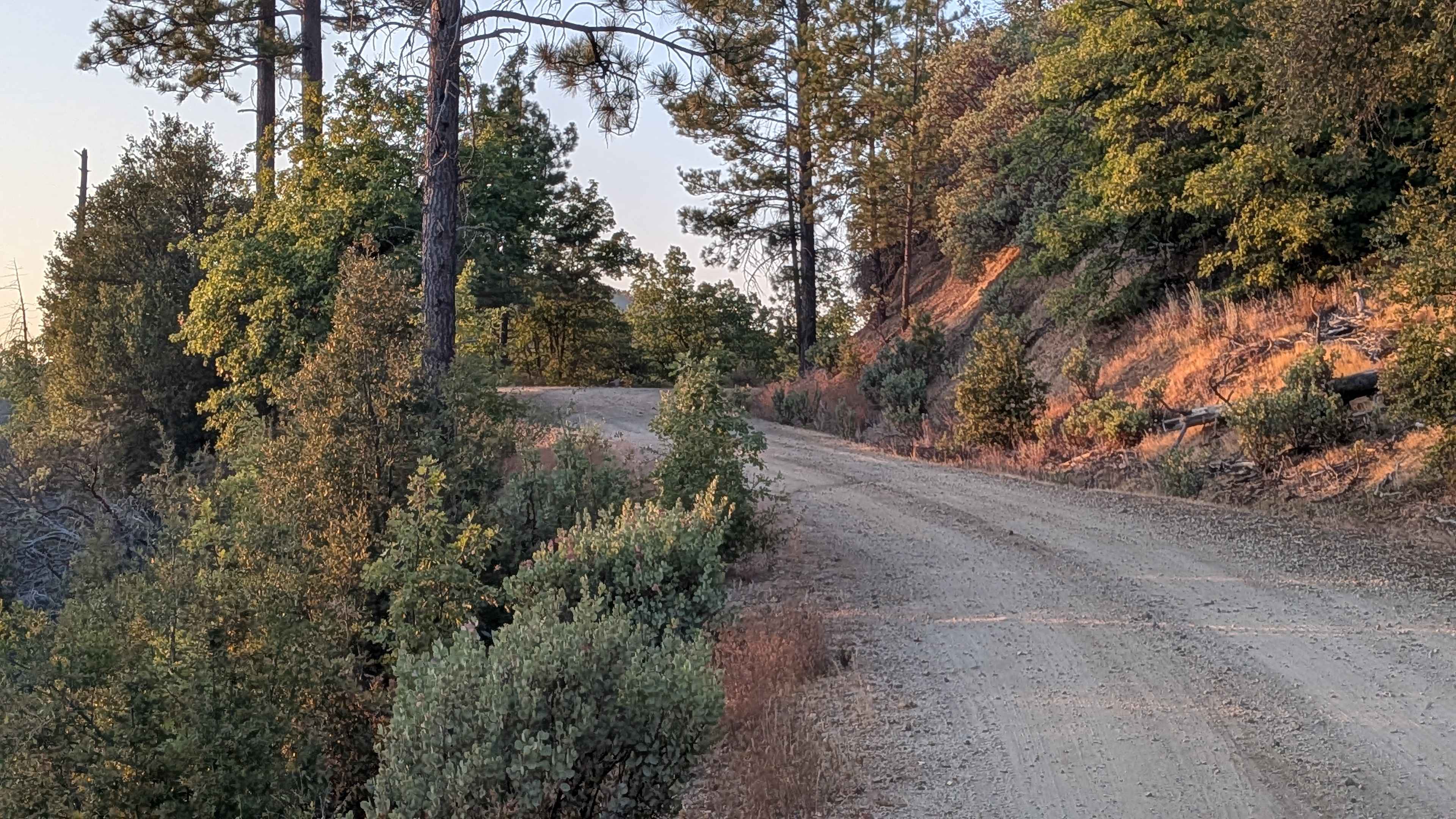
Full-Width Road
Accessible By
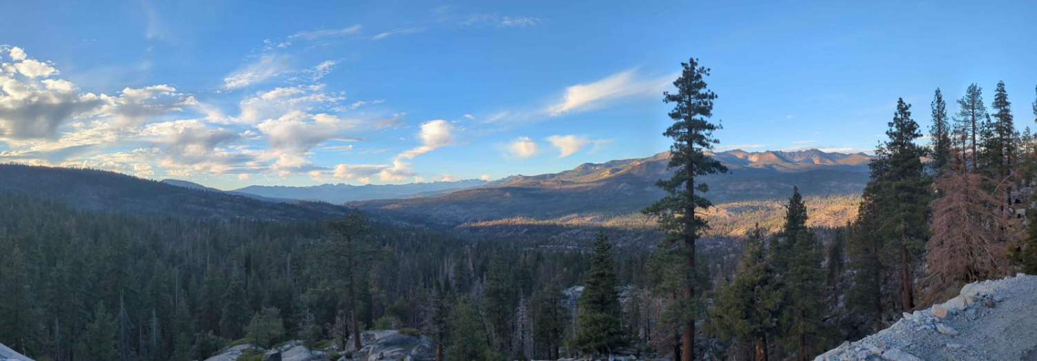
Trail Overview
Kaiser Pass Road, built in the early 1920's as part of the Southern California Edison's Big Creek Hydroelectric Project, opened up access to the remote High Sierra. After two years of building, the road was completed in 1922, it enabled vehicles to reach deep into the mountains, connecting critical water resources and creating new recreational opportunities.
Photos of Kaiser Pass Road

Difficulty
The road is mostly single track. Be aware of others. The road runs along some cliff edges.
History
Kaiser Pass Road, built in the early 1920's as part of the Southern California Edison's Big Creek Hydroelectric Project, opened up access to the remote High Sierra. After two years of building, the road was completed in 1922, it enabled vehicles to reach deep into the mountains, connecting critical water resources and creating new recreational opportunities.
Kaiser Pass Road can be accessed by the following ride types:
- High-Clearance 4x4
- SUV
Kaiser Pass Road Map
Popular Trails
Pilot Ridge - FS 1S14

Tarantula Wash

8s09g - Gooseneck
The onX Offroad Difference
onX Offroad combines trail photos, descriptions, difficulty ratings, width restrictions, seasonality, and more in a user-friendly interface. Available on all devices, with offline access and full compatibility with CarPlay and Android Auto. Discover what you’re missing today!