Kaiser Loop - FS 6S002
Total Miles
15.4
Technical Rating
Best Time
Summer, Fall
Trail Type
Full-Width Road
Accessible By
Trail Overview
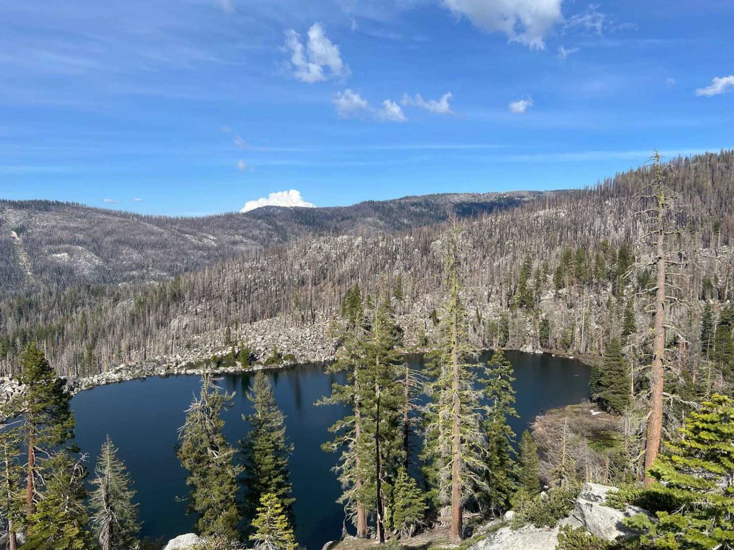
This 15.5-mile high-country road is designed for speed. The main surface is wide and smooth, composed of fast, packed decomposed granite, allowing for quick transit. However, the entire route runs through the extensive 2020 Creek Wildfire burn scar, creating a stark, exposed, and hazardous environment. While the road surface is excellent, travelers should expect two things: stunning, unobstructed views of the High Sierra, and intermittent tight sections where dense, low-level green scrub reaches out to pinstripe the vehicle. Since the canopy is destroyed, expect fallen trees (snags) at any time, making constant vigilance mandatory.
Photos of Kaiser Loop - FS 6S002


Difficulty
This road is essentially a well-maintained, high-speed decomposed granite road accessible by all passenger vehicles when dry. The fast drive time confirms its ease, with the challenge limited to occasional environmental hazards and managing the throttle.
Status Reports
Kaiser Loop - FS 6S002 can be accessed by the following ride types:
- High-Clearance 4x4
- SUV
Kaiser Loop - FS 6S002 Map
Popular Trails
Midway Well Road
Cady Mountain Loop - Part 5
The onX Offroad Difference
onX Offroad combines trail photos, descriptions, difficulty ratings, width restrictions, seasonality, and more in a user-friendly interface. Available on all devices, with offline access and full compatibility with CarPlay and Android Auto. Discover what you’re missing today!