Gold Hill Road - FS 8N01
Total Miles
12.1
Technical Rating
Best Time
Summer, Fall
Trail Type
Full-Width Road
Accessible By
Trail Overview
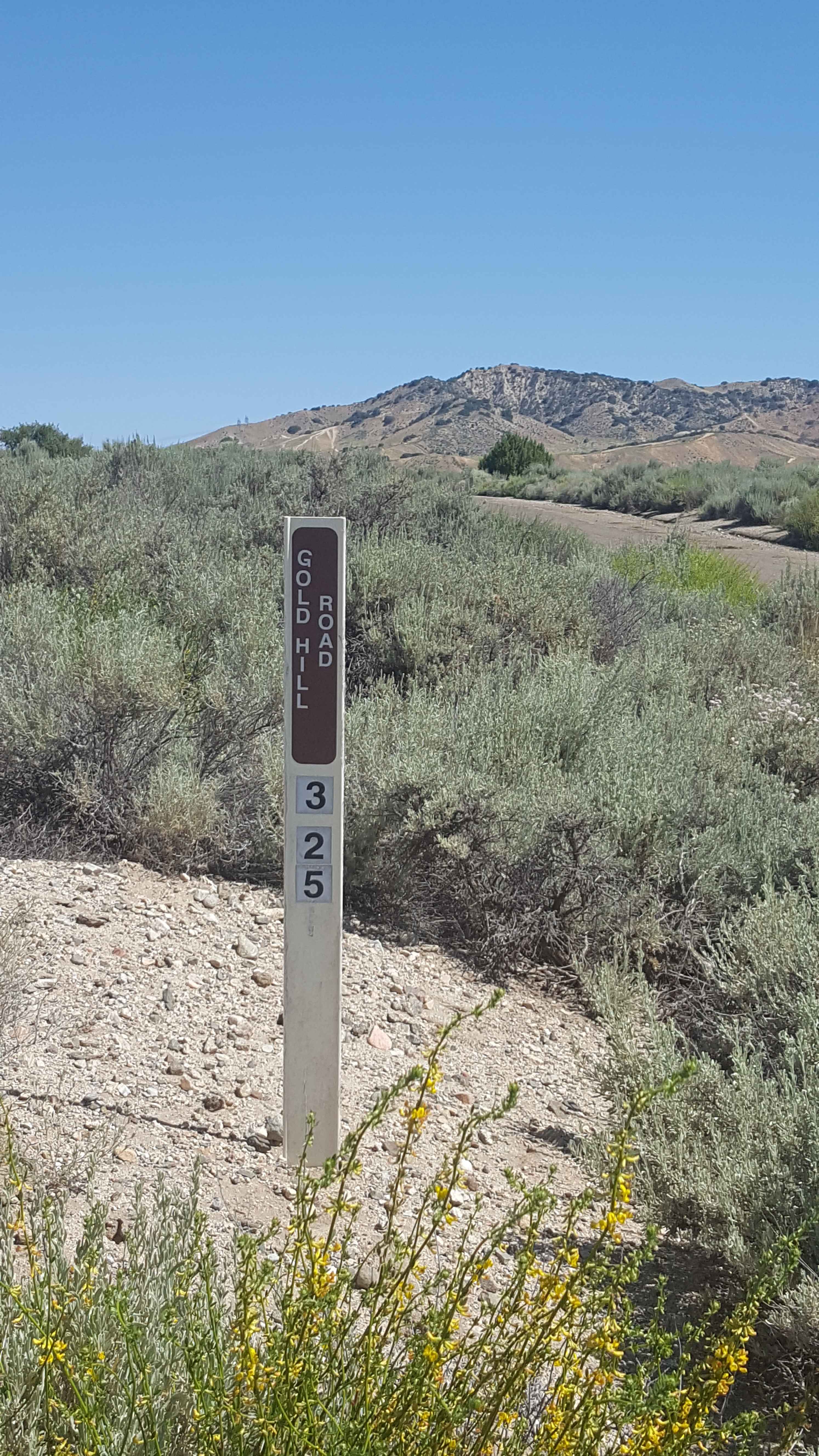
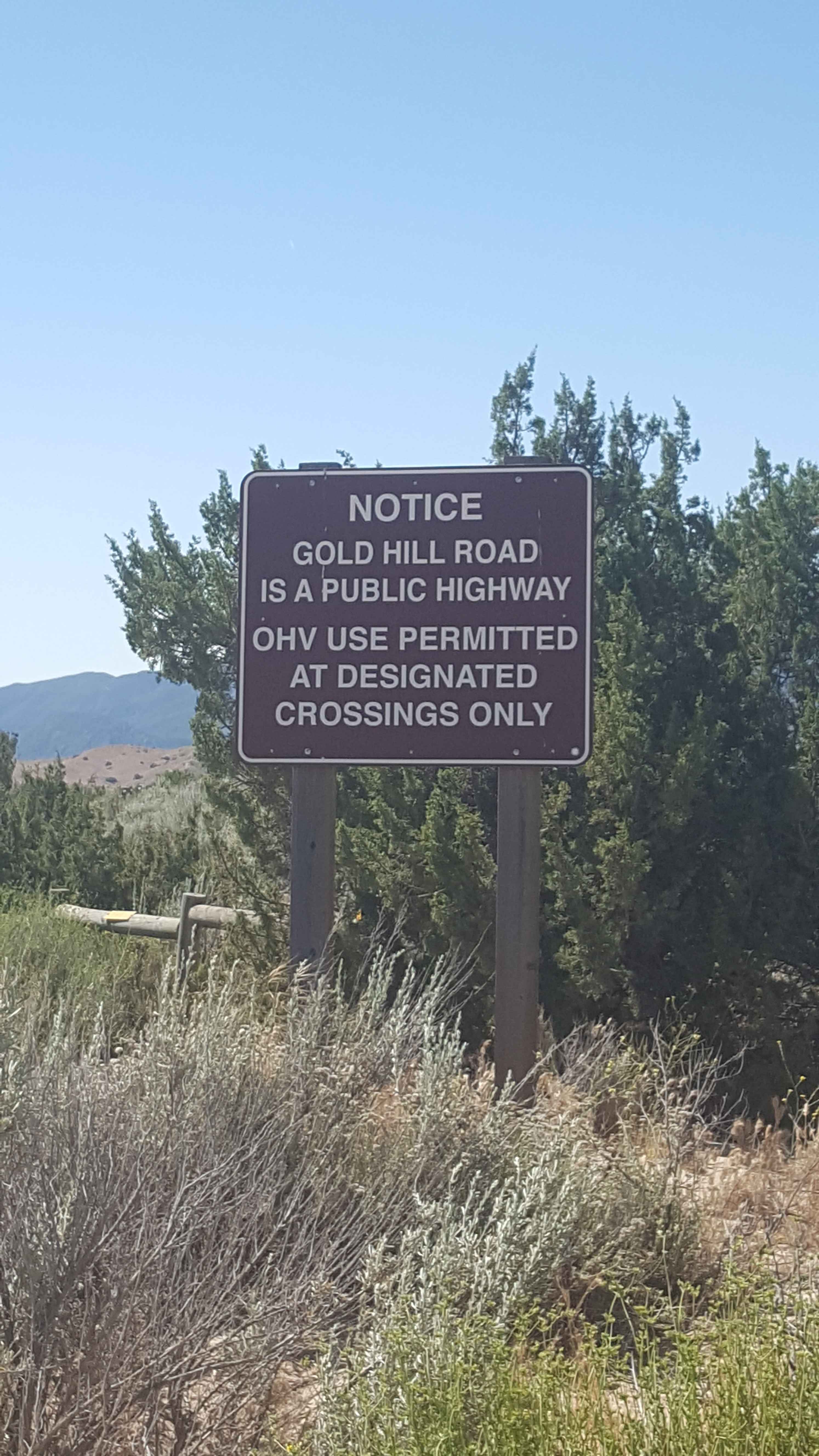
This is the main artery road through the center of Hungry Valley SVRA and up into the Los Padres National Forest around Alamo Mountain. It is a point-to-point route. The road up to the end of Alamo Mountain is restricted to street-legal vehicles because it is classified as a public road. The first few miles consist of a mix of pavement and graded dirt that is wide enough for vehicles to pass each other easily. In this area, there is access to multiple campground areas and OHV trailheads. The middle section narrows to the width of a single vehicle as it transitions to deteriorated pavement with stretches of gravel and packed dirt. At this point, it will enter the Los Padres National Forest and begin to climb. There are a number of blind corners as the road hugs the hillside, so maintain a slow speed and be prepared to encounter oncoming traffic. Passing can be tight, and there are only infrequent pullout areas. The last section begins at the shallow Piru Creek water-crossing, where the road will begin to ascend the side of Alamo Mountain. It starts as a single-vehicle wide shelf road consisting of deteriorated pavement and gravel before becoming a rutted dirt trail with occasional embedded and loose rocks. At its end, the road changes to Alamo Mountain OHV, allowing green sticker vehicles to continue up to the upper trailheads for the Snowy, Little Mutua, and Buck Creek trails. There are several designated camp areas in the Los Padres NF along the route. Incredible views of Hungry Valley and the Sespe Wilderness are possible from the side of Alamo Mountain. Note that the road section through the Los Padres National Forest is gated and will be closed annually from 11/2 to 4/30. Weak to no cellular phone service in the Los Padres National Forest. Tread Lightly and Pack-It-Out.
Photos of Gold Hill Road - FS 8N01
Difficulty
This road consists of a mix of pavement, broken pavement, gravel, and graded or packed dirt. The first third of the road is two lanes wide, while the remaining road is only one vehicle width with infrequent turnouts. In unpaved stretches, there may be shallow ruts and smaller loose rocks. There is one water crossing at Piru Creek. Depending on the time of year, the water could be up to 6 to 8 inches deep. The crossing is paved, though, so traction should not be a problem. 2WD vehicles with moderate clearance should be able to handle the majority of this route without issue.
Status Reports
Gold Hill Road - FS 8N01 can be accessed by the following ride types:
- High-Clearance 4x4
- SUV
Gold Hill Road - FS 8N01 Map
Popular Trails
Matheson Trams

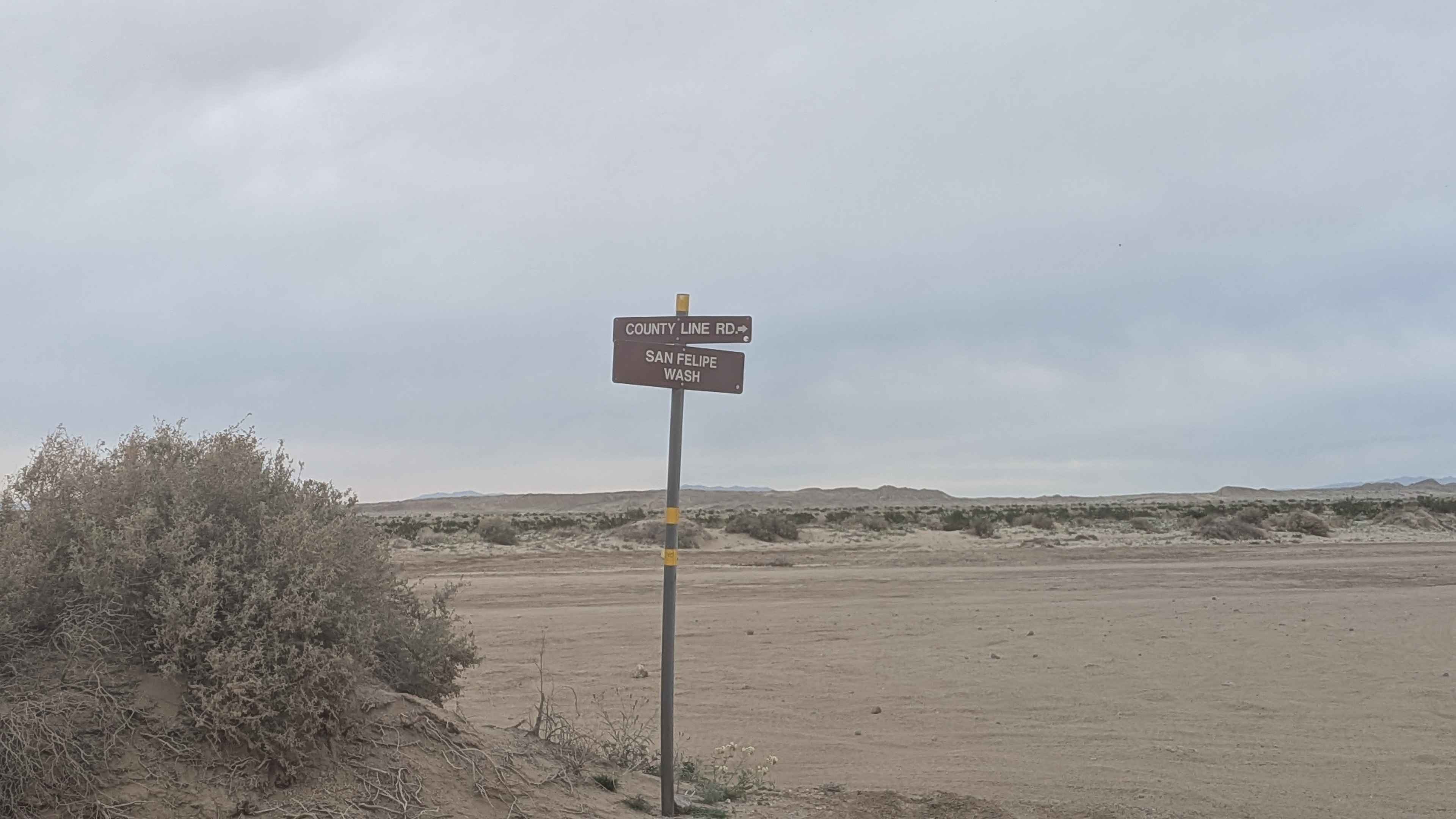
Count Line Road
The onX Offroad Difference
onX Offroad combines trail photos, descriptions, difficulty ratings, width restrictions, seasonality, and more in a user-friendly interface. Available on all devices, with offline access and full compatibility with CarPlay and Android Auto. Discover what you’re missing today!