Highway 19
Total Miles
0.2
Technical Rating
Best Time
Spring, Fall, Winter
Trail Type
Full-Width Road
Accessible By
Trail Overview
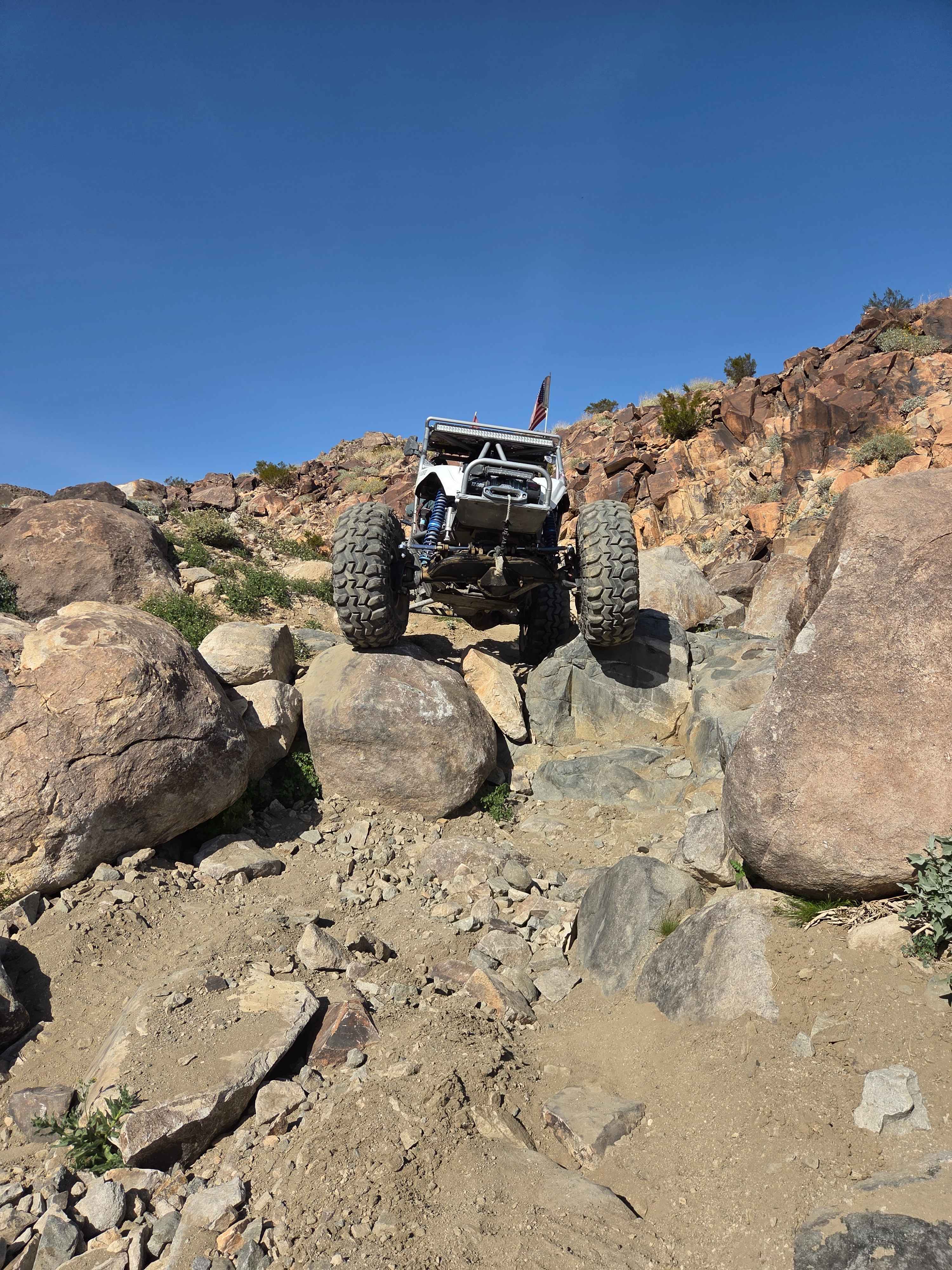
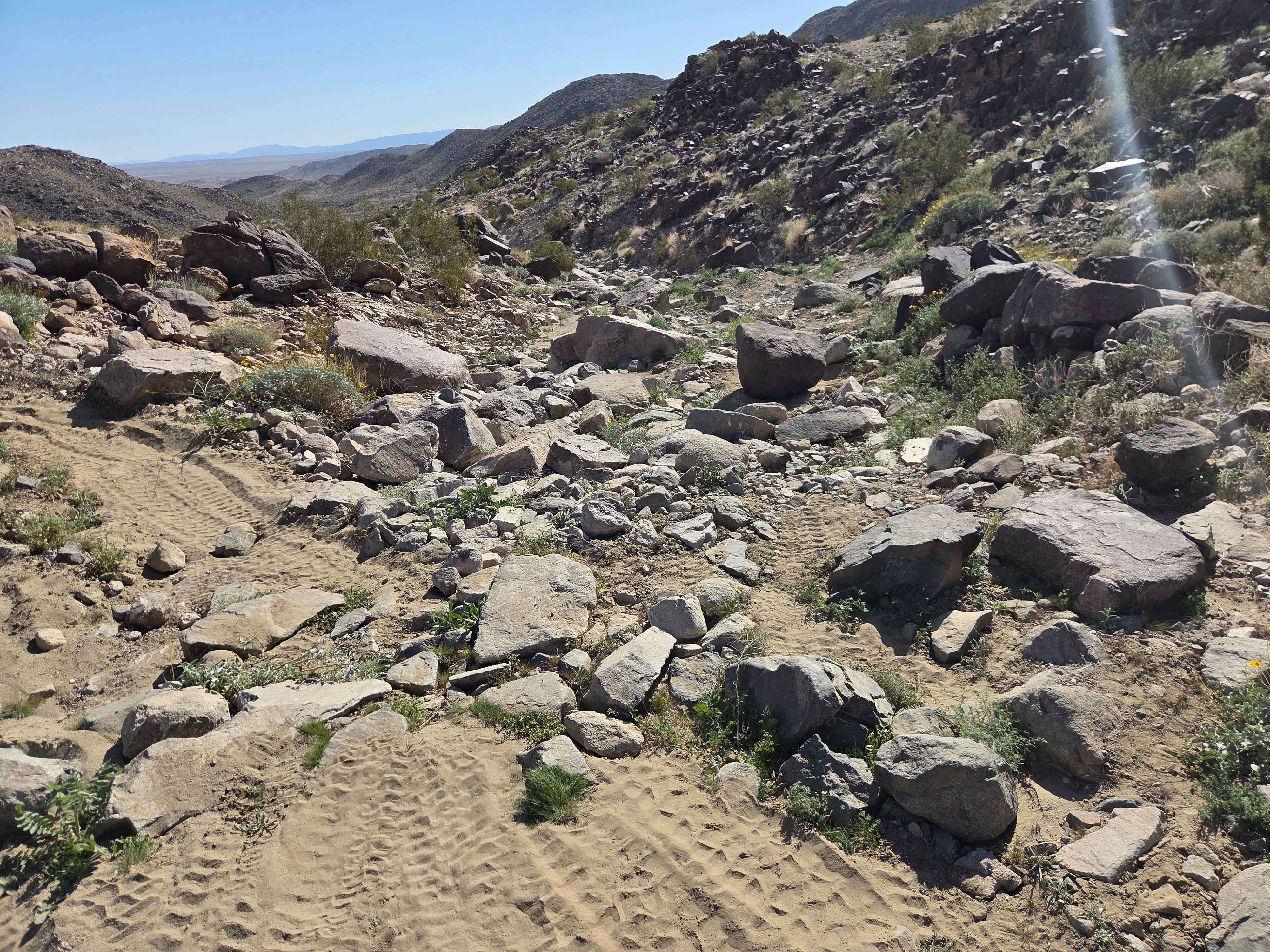
Highway 19 is less steep than Highway 20, making it a more manageable option if you don't want to run both trails. There's a bailout trail in between the two if things start to get sideways or if Highway 20 starts to look too steep to continue. Heading up the trail, the bailout trail is on your right, allowing you to escape to a much more manageable trail. Even though the trail isn't overly steep, it features some bigger rock obstacles--including a roughly 5-foot ledge to climb if you're heading uphill. Burnt-in bypasses are available around most of the rocks, but the true trail line offers great obstacles for those who want the challenge.
Photos of Highway 19
Difficulty
The big ledge in the middle is the hardest part of this trail. There are bypasses all along the way if you want to stay out of the rocks.
History
Highway 20 got its name from the race number of Walker Evans, and Highway 19 is an extension trail below.
Status Reports
Highway 19 can be accessed by the following ride types:
- High-Clearance 4x4
- SUV
- SxS (60")
- ATV (50")
- Dirt Bike
Highway 19 Map
Popular Trails

Tarantula Wash

Grapevine Canyon - FS 4N16
The onX Offroad Difference
onX Offroad combines trail photos, descriptions, difficulty ratings, width restrictions, seasonality, and more in a user-friendly interface. Available on all devices, with offline access and full compatibility with CarPlay and Android Auto. Discover what you’re missing today!