High Peak Road - FS 31050
Total Miles
3.3
Technical Rating
Best Time
Fall, Summer
Trail Type
Full-Width Road
Accessible By
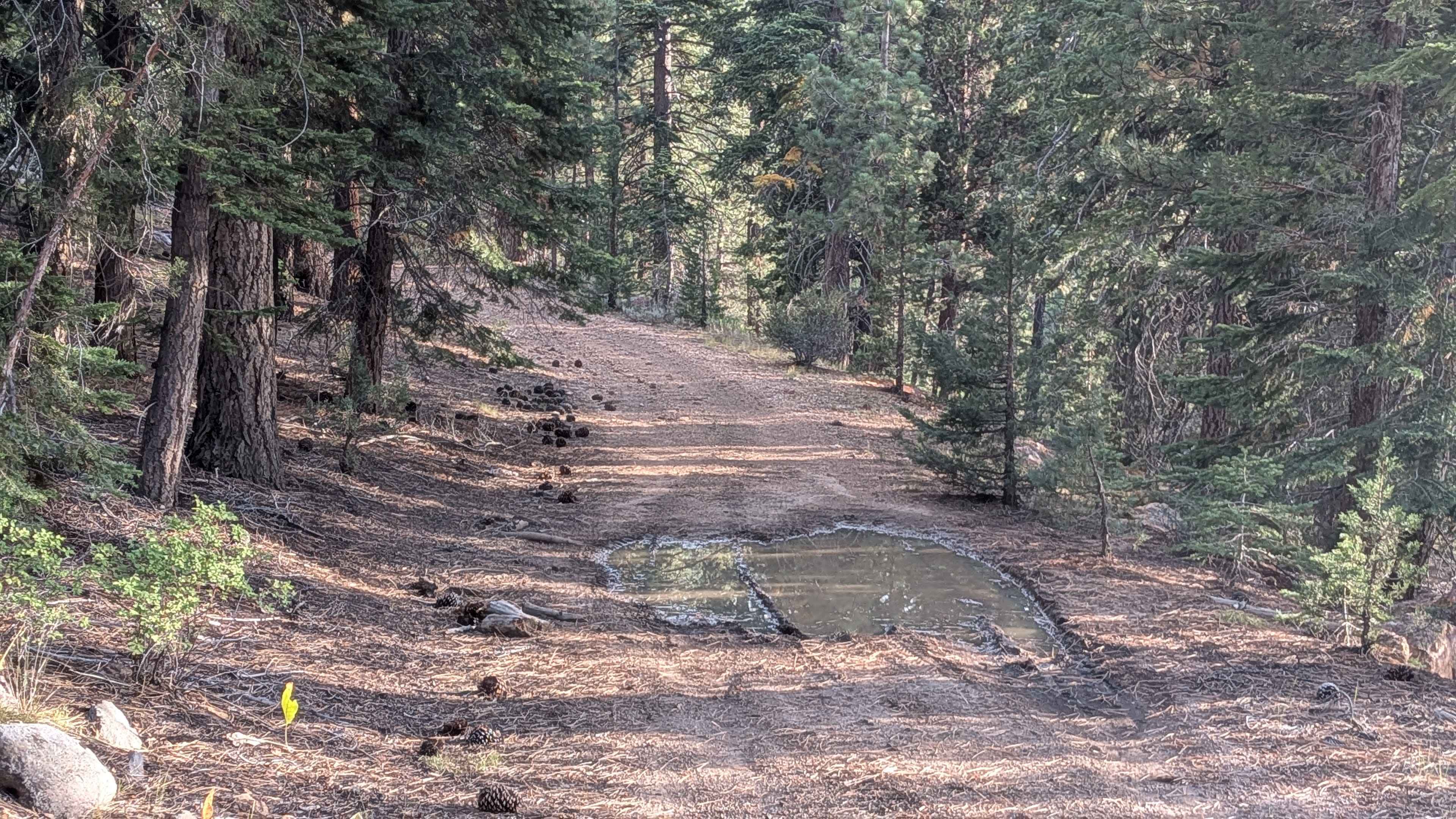
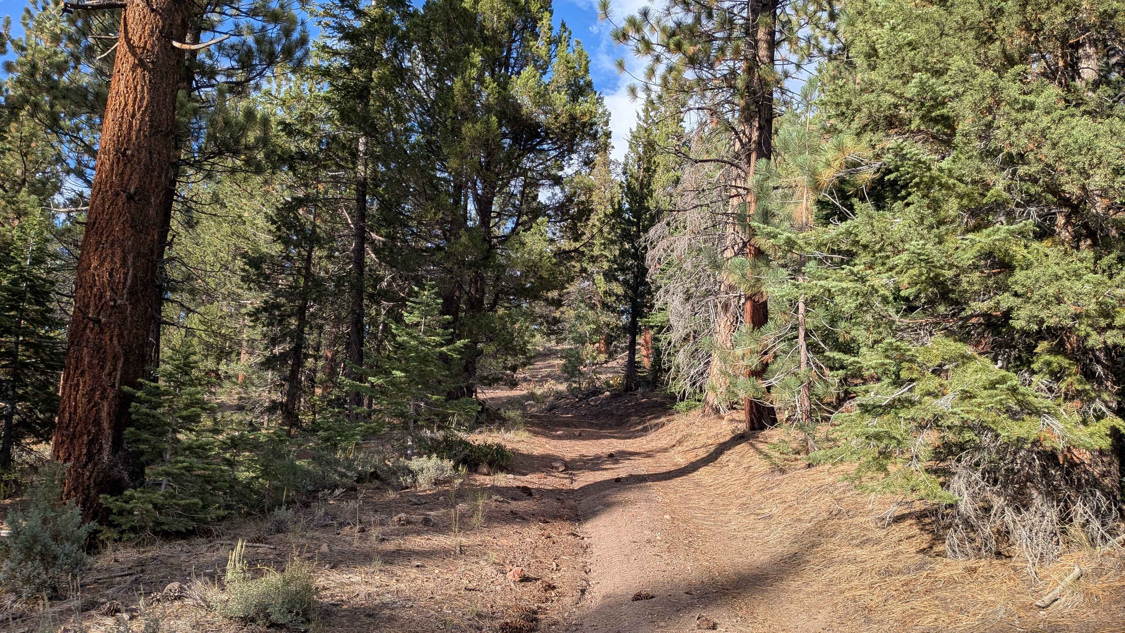
Trail Overview
This narrow 3-mile route starts near the end of Leviathan Road by the mine and climbs more than 700 feet. The trail is tight and overgrown in spots, with low-hanging branches and brush crowding the edges. It is made of hard-packed dirt and is barely wide enough for a single vehicle. From the start, the trail runs along a narrow shelf road just above the creek. The shoulders can be soft, and there are several hidden washouts, so pay close attention. After about three-quarters of a mile, the road pulls away from the creek for a short stretch before returning to higher ground, which feels less exposed. As the climb continues, the trail becomes rockier, with more off-camber sections and articulation points. Expect a mix of water holes, whoops, and uneven terrain. This trail is fun and rewarding, but it is not suited for wide vehicles.
Photos of High Peak Road - FS 31050
Difficulty
High clearance is required, and 4x4 is highly recommended. The combination of shelf exposure, tight brush, rocky climbs, and hidden washouts makes this a challenging but enjoyable drive.
Status Reports
High Peak Road - FS 31050 can be accessed by the following ride types:
- High-Clearance 4x4
- SUV
- SxS (60")
- ATV (50")
- Dirt Bike
High Peak Road - FS 31050 Map
Popular Trails
P-Town Loop Out
La Colorado Mine
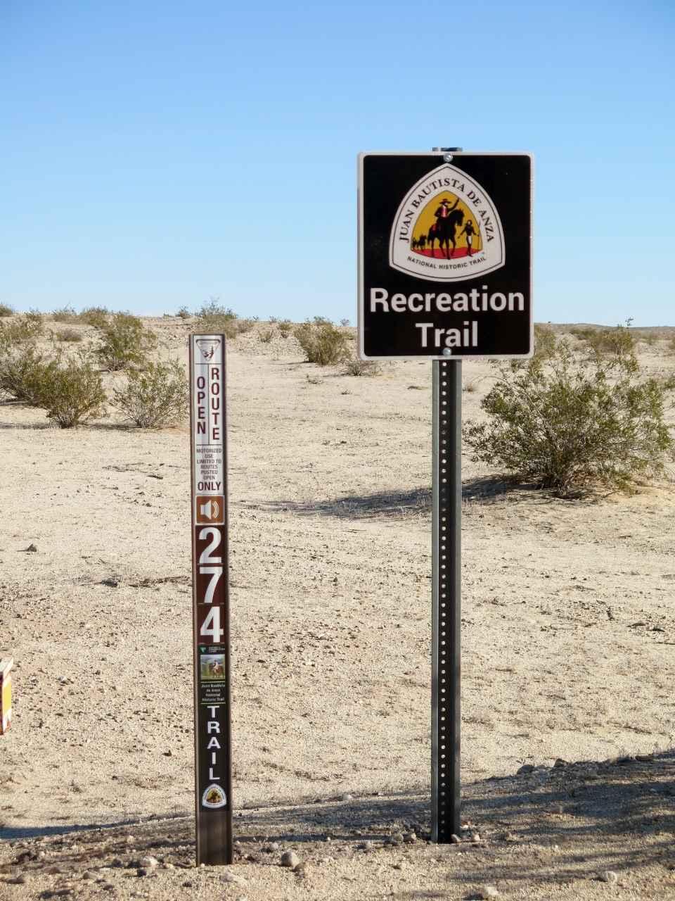
EC 274 Yuha Desert

Sand Dam Canyon - BLM 336
The onX Offroad Difference
onX Offroad combines trail photos, descriptions, difficulty ratings, width restrictions, seasonality, and more in a user-friendly interface. Available on all devices, with offline access and full compatibility with CarPlay and Android Auto. Discover what you’re missing today!