IN05 to Roberts Station
Total Miles
1.2
Technical Rating
Best Time
Fall, Summer, Spring
Trail Type
Full-Width Road
Accessible By
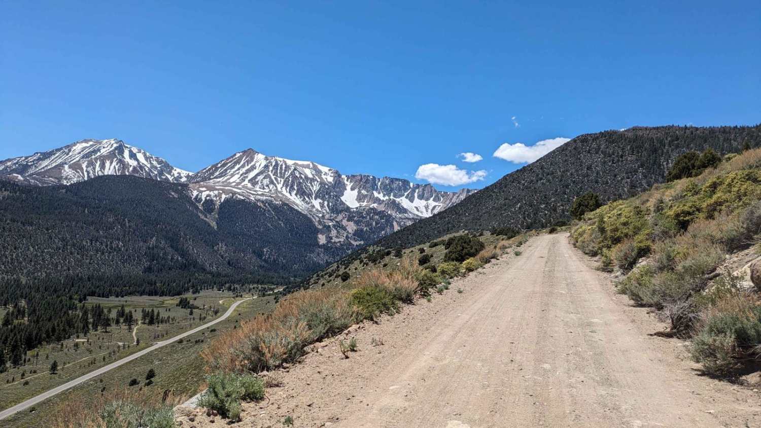
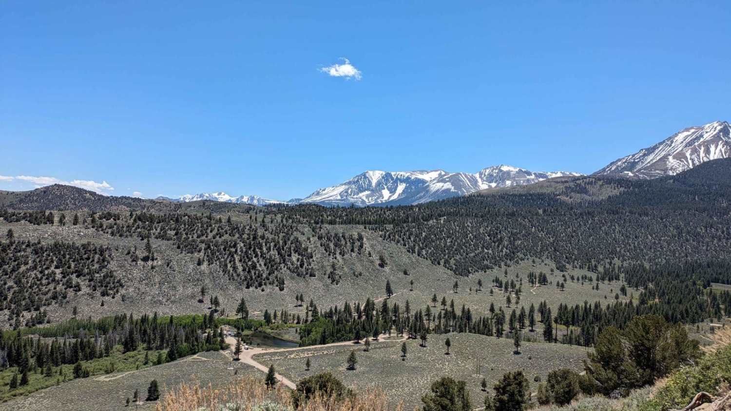
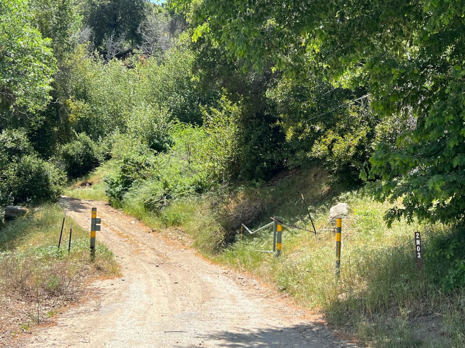
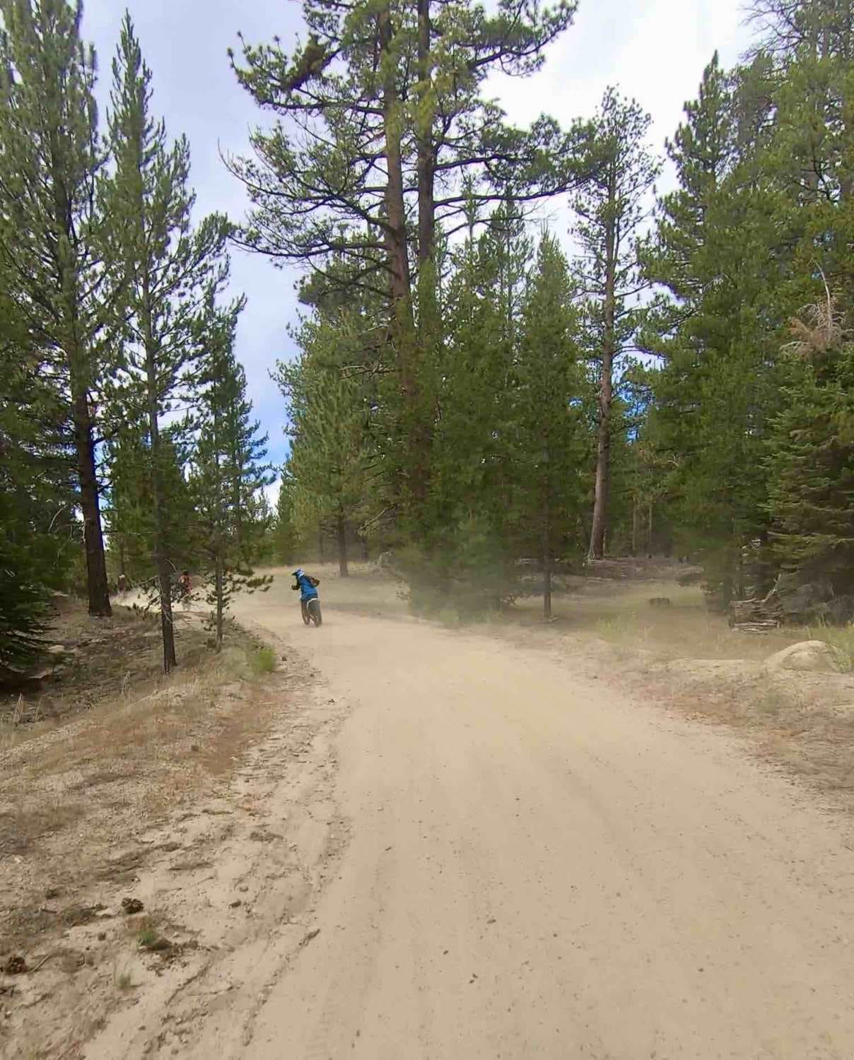
Trail Overview
This well-graded Forest Service road takes you along a cliff overlooking the 120 below. It offers stunning views of the East Sierras into Yosemite National Park. After the cliff, it meanders into the forest and ends at the Roberts Environmental Station (Private). You will see views of Mono Lake on the way back down.
Photos of IN05 to Roberts Station
Difficulty
Although an easy road, there can be snow and water coming down the road in early spring. It may not be passable in winter.
Status Reports
IN05 to Roberts Station can be accessed by the following ride types:
- High-Clearance 4x4
- SUV
IN05 to Roberts Station Map
Popular Trails
Echo Canyon Road
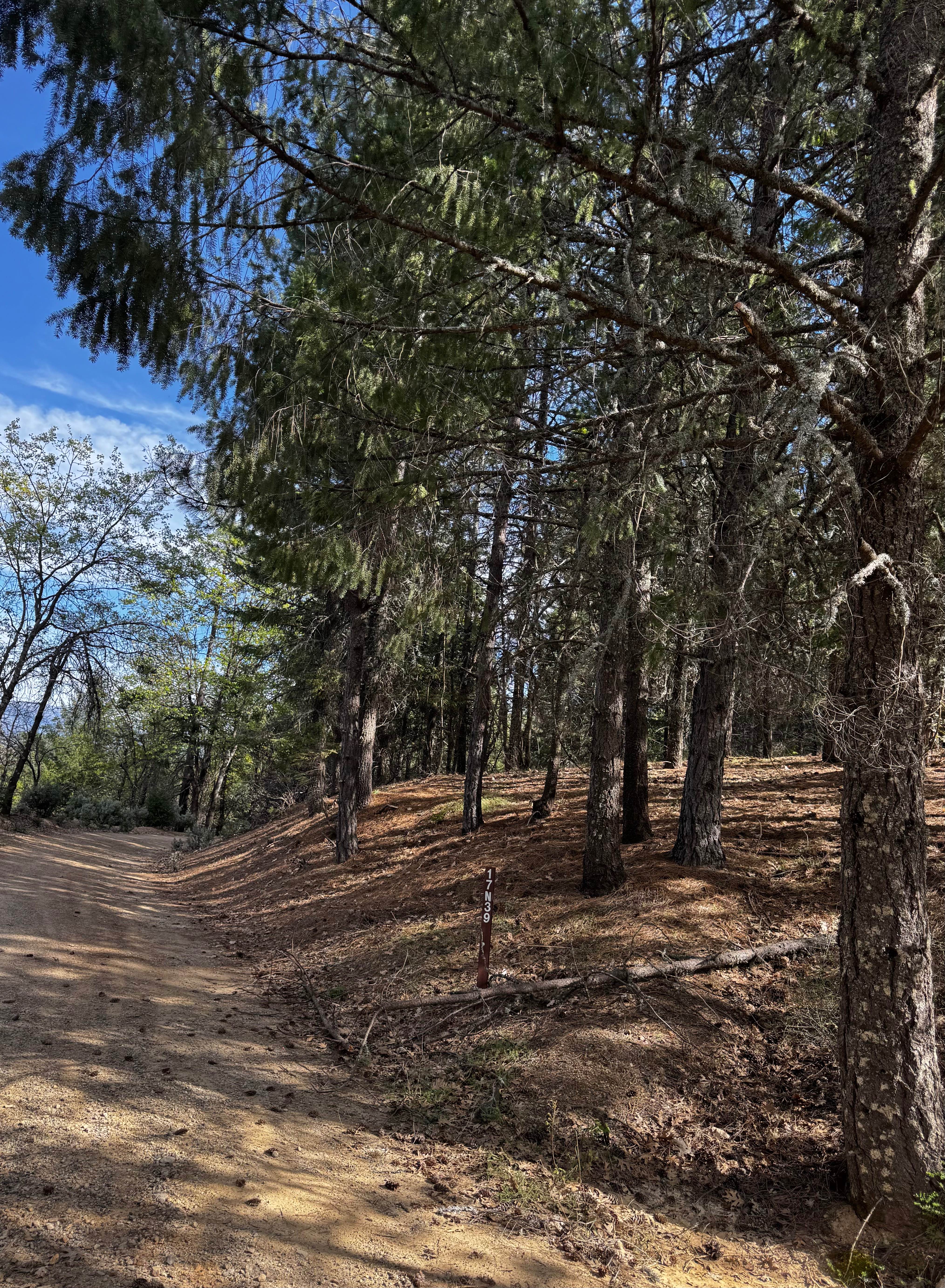
Willow Rock - FS 17N39
The onX Offroad Difference
onX Offroad combines trail photos, descriptions, difficulty ratings, width restrictions, seasonality, and more in a user-friendly interface. Available on all devices, with offline access and full compatibility with CarPlay and Android Auto. Discover what you’re missing today!